Jeep Trail Reports
Whether you're hitting the trails this weekend or just web-wheeling, we have your California, Colorado, and Desert Southwest photos and route descriptions.
Pack your roof rack and fill your water jugs! You'll find just about everything you need to hit the trails and get rockin.' Don't worry if you're new to the sport, we can help answer any questions that come up. What have we been up to? Moab!
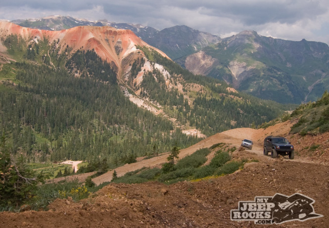
Red Mountain Mining Area is an easy trail located between Silverton and Ouray off of Highway 550.
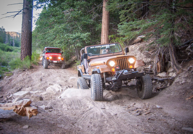
We started our ’07 Colorado mountain jeep adventure downtown Ouray and headed to Corkscrew Gulch trail.
We joined up with JeepBBS for another Rookie Run. It was a great day with great weather and only minor damages in the end.
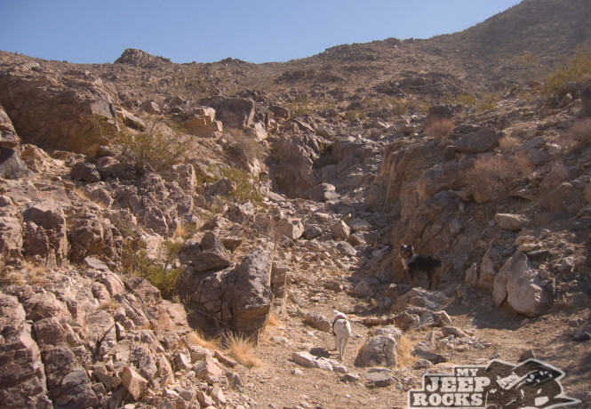
This trail shares many views with Achy Breaky, which isn’t far away. The Barstow outlet mall can be seen in the background.
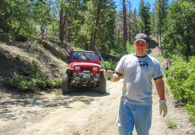
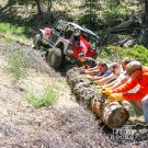
We started Saturday morning and we cleared and trimmed trees and brush from 2N84B and 2N84A.
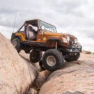
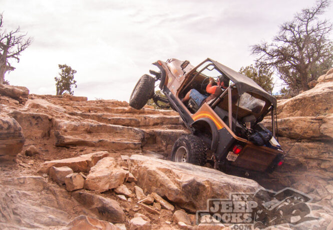
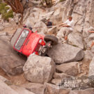
Finally some sunshine on the last day in Moab. Steelbender was so close to the condo we couldn’t pass it up. The trail up the mountain was washed out in many areas.
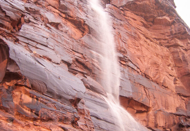
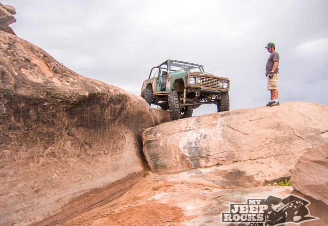
Apparently when it rains for a day straight in Moab, rivers form.
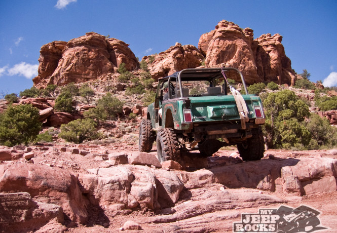
Our trip continued with a mandatory stop in Moab, Utah.
After a leisurely 14-hour drive across the continent in the truck (not jeep!), we arrived in Montrose, Colorado.
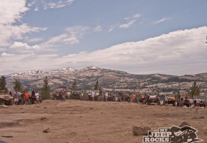
We headed out with 5 jeeps for a Big Bear night run.
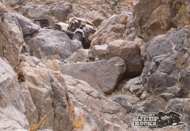
An epic 3-day trip from July 21-23, 2006.
After a very long closure due to the fires of 2004, Dishpan Springs Trail was finally reopened, so we headed up to Lake Arrowhead. Upon entering the canyon which leads to the trailhead, however, we were shocked to see the damage left by the fires.
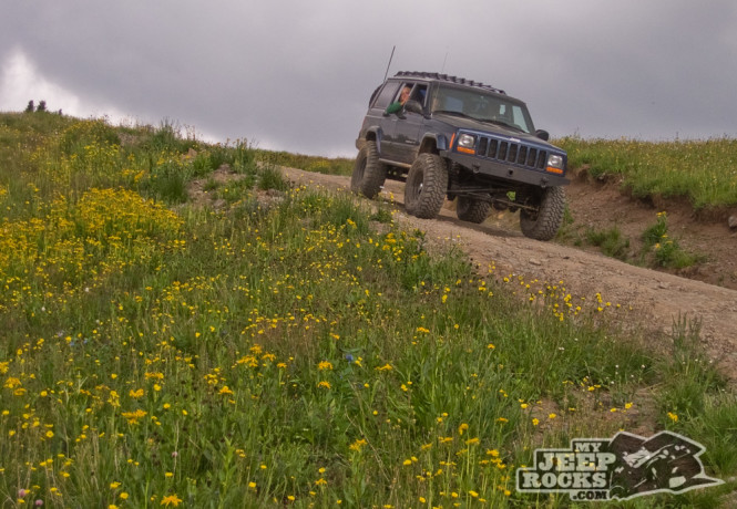
Our first official 2N84 trail run as a group with Greg Hoffman was definitely extremely memorable.
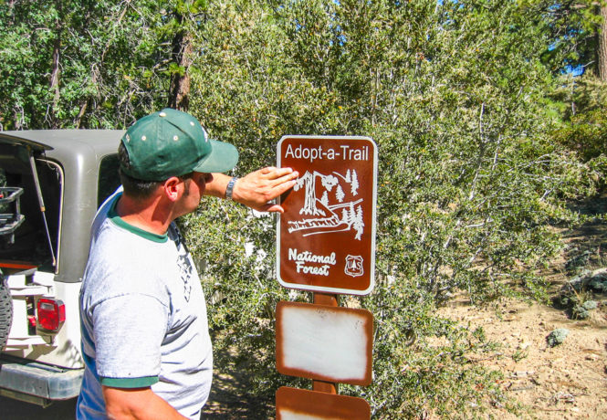
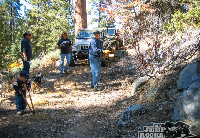
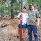
The first ever MJR Adopt-A-Trail workday was a great success. Eighteen volunteers worked all day clearing brush, culverts, trash, logs and other debris from the trail.