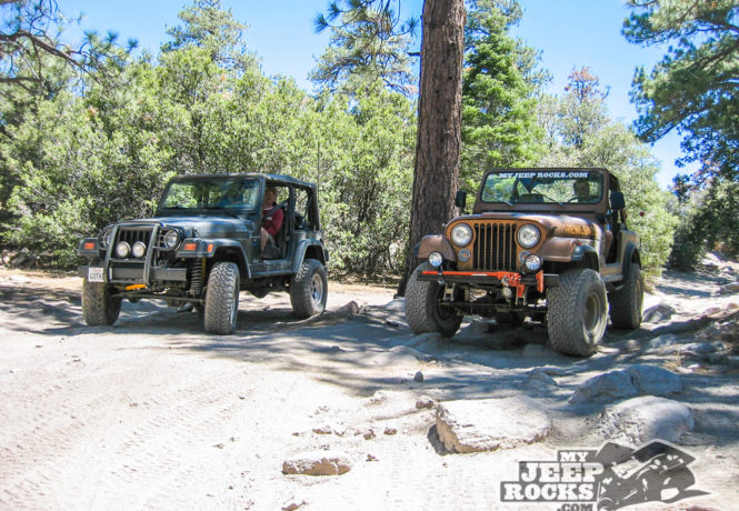
Dishpan Springs Trail (3N34)
Located near Lake Arrowhead, this black diamond trail is a forest favorite!
Big Bear Area, Southern California
Length: 4-1/2 miles
Time to complete: 1-1/2 hours
Dishpan Springs Trail can be found in the San Bernardino National Forest near Lake Arrowhead. The Dishpan Springs Trail is one of the toughest and most popular trails in the SBNF. The favored direction of travel is from West to East starting on 2N26Y Hook Creek Rd. Dishpan Springs Trail is available to street legal vehicles and green sticker vehicles.
You can expect to encounter large boulders, deep ruts, steep climbs and a dry waterfall. The US Forest Service rates this trail a black diamond most difficult trail and it is not recommended for stock SUVs. Body damage and breakage are a possibility. Elevation ranges from 4700′ to over 5900′ and during the winter months snow and ice add to the difficulty of traversing the trail.
The Western entrance: 2N26Y is N34° 16.198 W117° 08.258.
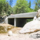
The T6 Bridge: N34° 16.106 W117° 07.745.
The Eastern entrance: 3N16 is N34° 15.663 W117° 05.116.
Lat/Lon format is hddd° mm.mmm and WGS84 datum