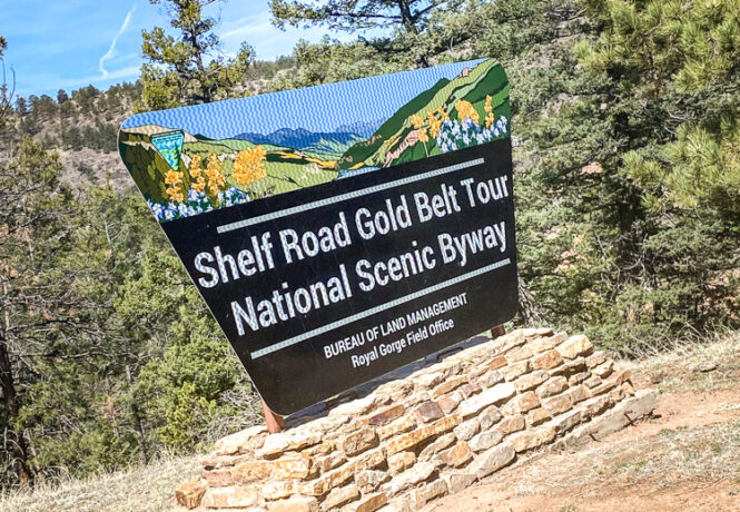
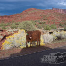
Shelf Road and Phantom Canyon
Gold Belt Tour National Scenic Byway with a stop at Penrose and Independence Trail.
- Rated: Green
- 2021

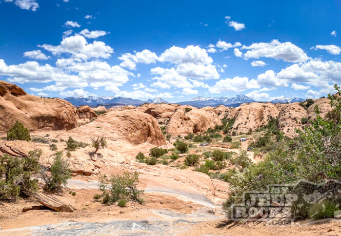
Fins ‘n’ Things
- Fins 'n' Things
- Moab
- Rated: Green
- 2021
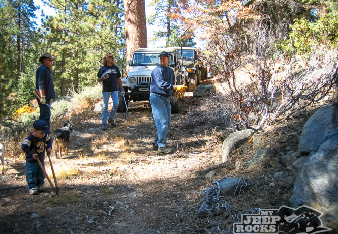
2N84 Maintenance Run
This was the most interesting day on our Adopt-A-Trail yet.
- Big Bear
- Little Bear Peak 2N84
- Rated: Green
- 2007
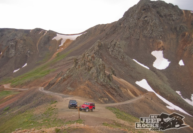
California Gulch
From Poughkeepsie Gulch we turned onto California Gulch via California Pass. You’ll see old mines, an old mill and the ghost town of Animas Forks.
- California Gulch
- San Juans
- Rated: Green
- 2007
Poughkeepsie Gulch
A little bit of challenge and a lot of wonderful scenery made this one of our most favorite trails. Access via Mineral Creek from Highway 550.
- Poughkeepsie Gulch
- San Juans
- Rated: Green
- 2007
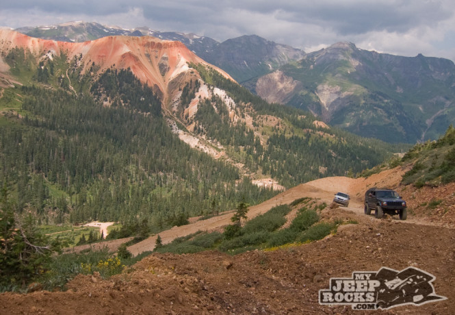
Red Mountain Mining Area
Red Mountain Mining Area is an easy trail located between Silverton and Ouray off of Highway 550.
- Red Mountain Mining
- San Juans
- Rated: Green
- 2007
Corkscrew Gulch
We started our ’07 Colorado mountain jeep adventure downtown Ouray and headed to Corkscrew Gulch trail.
- Corkscrew Gulch
- San Juans
- Rated: Green
- 2007
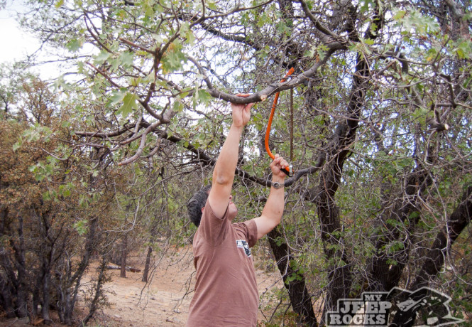
2N84 Final Workday of ’06
We started Saturday morning and we cleared and trimmed trees and brush from 2N84B and 2N84A.
- Big Bear
- Little Bear Peak 2N84
- Rated: Green
- 2006
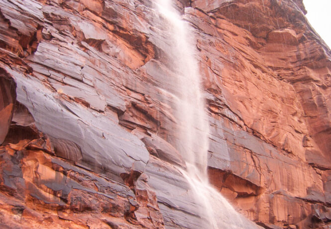
La Sal Mountain Loop Road
Apparently when it rains for a day straight in Moab, rivers form.