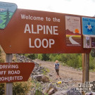
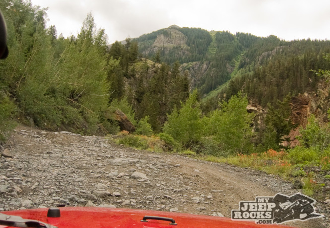
Mineral Creek
San Juan National Forest Route 878 | San Juan County Road 17
Length: 6.5 miles
Elevation: 9700′ to 11,500′
Trail rating: Blue Square More Difficult – Street legal vehicles and unlicensed off-highway vehicles allowed.
Special Note Operators of unlicensed vehicles must have a valid drivers license and carry proof of liability insurance.
West Entrance on Hwy 550 at N37° 59.312 W107° 38.973
Poughkeepsie Gulch entrance at N37° 58.031 W107° 37.614
San Juan Chief Mine loop at N37° 57.724 W107° 35.719
San Juan Chief Mine loop at N37° 57.699 W107° 35.141
East Entrance on Engineer Pass at N37° 57.466 W107° 34.528
Lat/Lon format is hddd° mm.mmm WGS84 datum
Call for a current conditions report. San Juan Public Lands Office (970) 247-4874.
San Juan National Forest Columbine Ranger District (970) 884-2512.