Trail Report - Liebre Mtn
After some MJR folks ran the Dusy Ershim trail, we all headed home by different routes. Sharon and I decided to explore one more trail on the way home. It is a very easy trail that leads up and over Liebre Mountain in the Angeles National Forest.
From I-5 at the 138 exit, we detoured from the beaten path. To get to the Liebre Mountain Trail, you must travel along the Old Ridge Route for a few miles. For those that are not familiar with the Old Ridge Route, it was the first way built across the Grapevine Pass before the 99 and the I-5 were ever conceived.
This is the first time that we have explored any part of the Old Ridge Route. The historical markers along the way were intriguing:
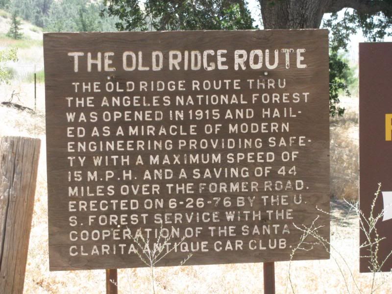
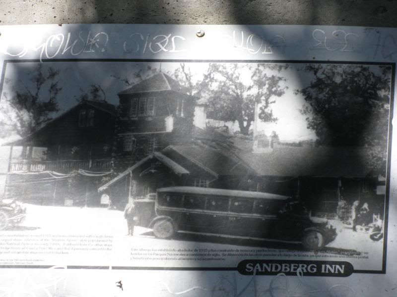
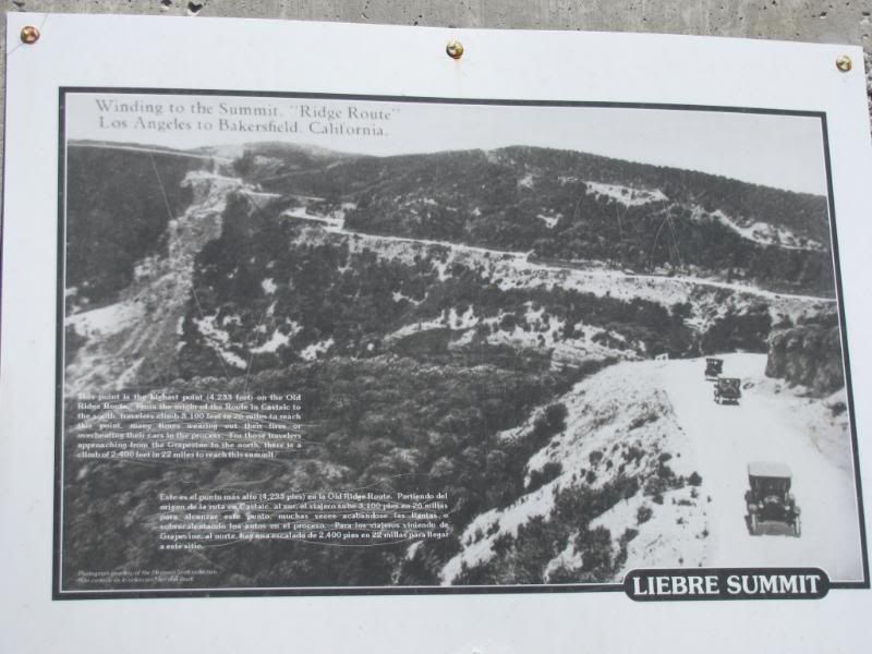
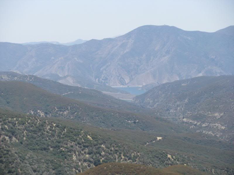
Along this section of the historical route, there are some great views of Pyramid Lake:
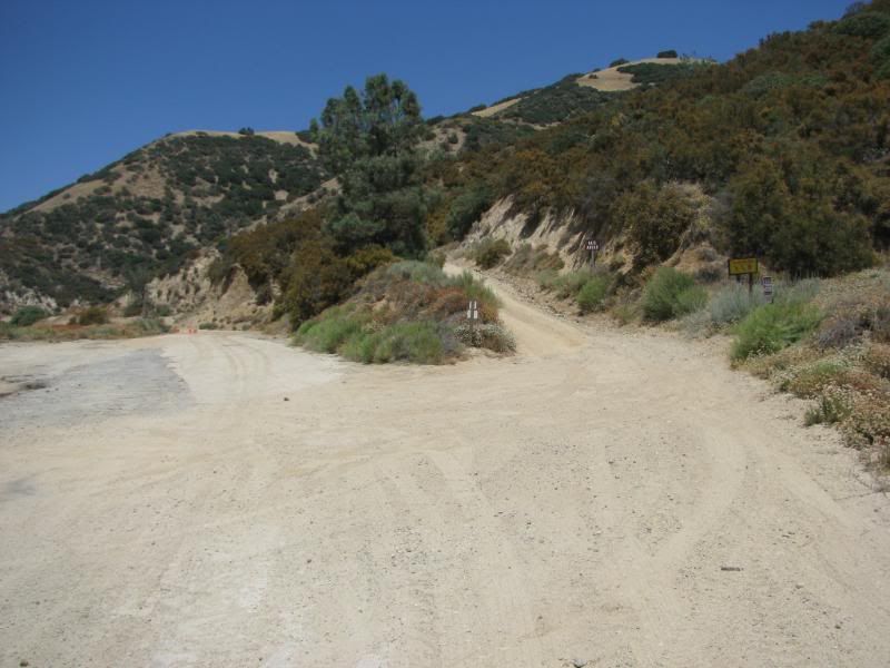
After the Liebre Summit marker, the trail had a turn to the left, up the mountain, that looked like this if approaching from the other direction:
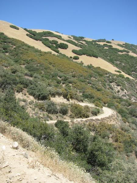
There are lots of switchbacks:
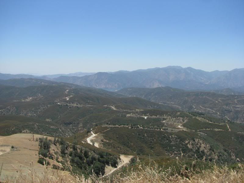
That led to an excellent view of the Old Ridge Route:
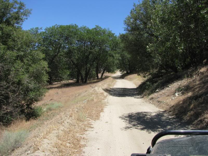
After the climb, the trail follows the ridge of Liebre Mtn. This trail has only a few clear views of either side of the valleys that surround it. It is 12 miles of mildly interesting vegetation. It starts out with grasslands, but soon turns to an oak tree bordered trail:
After that the trail is bordered by low shrubs for several miles:
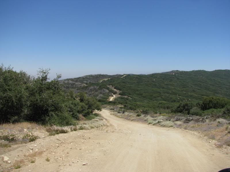
The downhill portion that leads back to the paved LA county N2 road is bordered by evergreens:
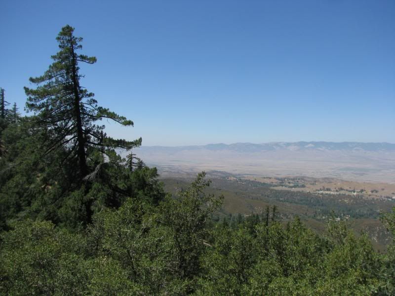
Most of the views are of the desert side of the range. The mountain side burned several years ago:
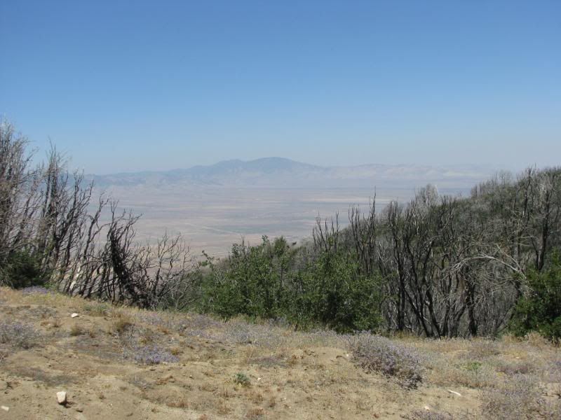
All-in-all, the trail was too long and had little to offer. It might be more interesting in the spring when there are flowers in bloom, but otherwise I can not recommend this trail.
I think that I would like to explore the Old Ridge Route some time soon and by-pass the Liebre Mountain trail other than a climb to the overlook.
All of our pics can be seen at this link:
http://s139.photobucket.com/albums/q...Mtn%207-23-08/
After some MJR folks ran the Dusy Ershim trail, we all headed home by different routes. Sharon and I decided to explore one more trail on the way home. It is a very easy trail that leads up and over Liebre Mountain in the Angeles National Forest.
From I-5 at the 138 exit, we detoured from the beaten path. To get to the Liebre Mountain Trail, you must travel along the Old Ridge Route for a few miles. For those that are not familiar with the Old Ridge Route, it was the first way built across the Grapevine Pass before the 99 and the I-5 were ever conceived.
This is the first time that we have explored any part of the Old Ridge Route. The historical markers along the way were intriguing:


Along this section of the historical route, there are some great views of Pyramid Lake:

After the Liebre Summit marker, the trail had a turn to the left, up the mountain, that looked like this if approaching from the other direction:

There are lots of switchbacks:

That led to an excellent view of the Old Ridge Route:

After the climb, the trail follows the ridge of Liebre Mtn. This trail has only a few clear views of either side of the valleys that surround it. It is 12 miles of mildly interesting vegetation. It starts out with grasslands, but soon turns to an oak tree bordered trail:

After that the trail is bordered by low shrubs for several miles:

The downhill portion that leads back to the paved LA county N2 road is bordered by evergreens:

Most of the views are of the desert side of the range. The mountain side burned several years ago:

All-in-all, the trail was too long and had little to offer. It might be more interesting in the spring when there are flowers in bloom, but otherwise I can not recommend this trail.
I think that I would like to explore the Old Ridge Route some time soon and by-pass the Liebre Mountain trail other than a climb to the overlook.
All of our pics can be seen at this link:
http://s139.photobucket.com/albums/q...Mtn%207-23-08/


 [COLOR=blue]Chris[/COLOR]
Comment