[COLOR="#0000FF"]In the Fall of 1849, a group of pioneers left Salt Lake City for the gold fields of California. The disaster that befell the Donner Party a couple of years before were still fresh on everyone’s mind. So instead of attempting to cross the Sierra Nevada Mountain Range in winter, they intended to follow the Old Spanish Trail, which went around the south end of the Sierra Nevadas. On Christmas Eve of 1849, some of them arrived at Travertine Springs, the source of Furnace Creek in what is now known as Death Valley.
Their oxen were weak from lack of forage and their wagons were battered and in poor shape. They too were weary and discouraged but their worst problem was not the valley that lay before them. It was the towering Panamint Mountains that stood like an impenetrable wall as far as could be seen.
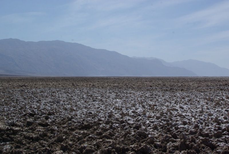
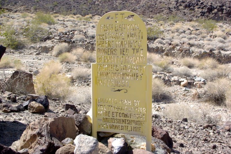
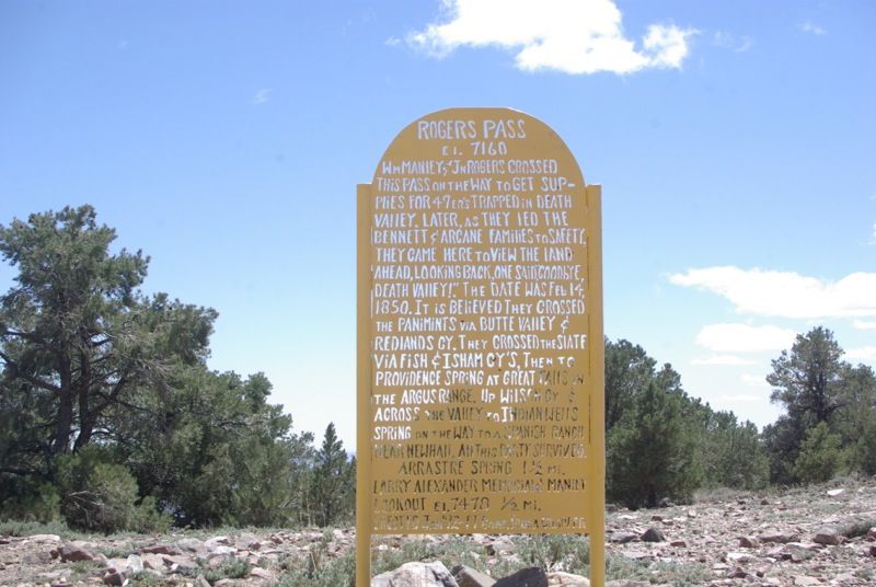
From Furnace Creek, the pioneers struggled across the salt flats and attempted to pass over the Panamint Range via Warm Springs Canyon, but were unable to do so. They retreated to the valley floor and sent two young men, William Lewis Manly and John Rogers, 'over the mountain' to get supplies. Nearly a month went by as the men walked more than 300 miles to Mission San Fernando, got supplies at a ranch and trekked back. When Manly and Rogers finally arrived to the camp of the Bennett-Arcane party they found many of the group had left to find their own way out of the valley. The two families with children had patiently remained, trusting the men to save them. Only one man had perished during their long wait, but as they made their way west over the mountains, someone is said to have proclaimed "Goodbye, Death Valley," giving the valley its morbid name.
-from a Death Valley National Park website article[/COLOR]
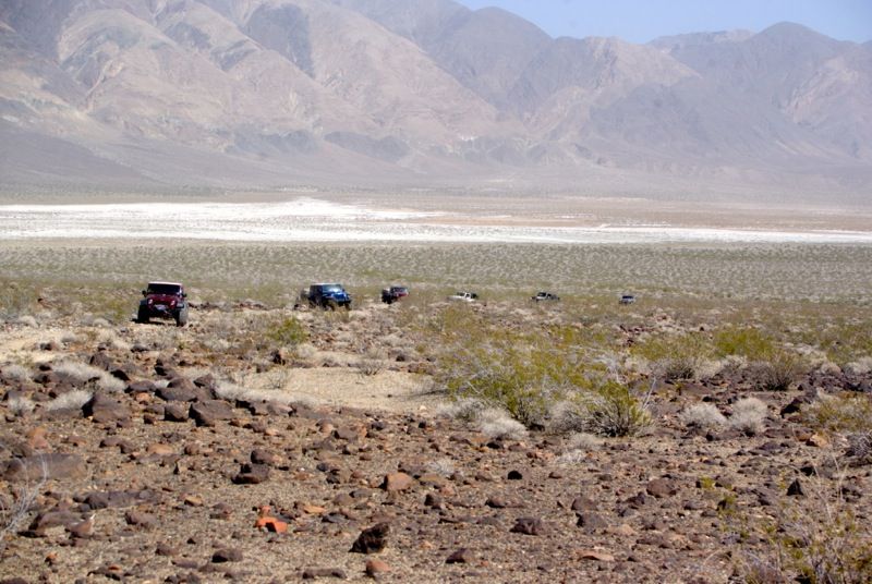
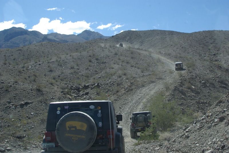
In April, 2013 a small group of Jeeps followed in the wagon tracks and footsteps of these ‘49ers in “The 2013 Escape from Death Valley Run”.
Sunday, April 14, 2013
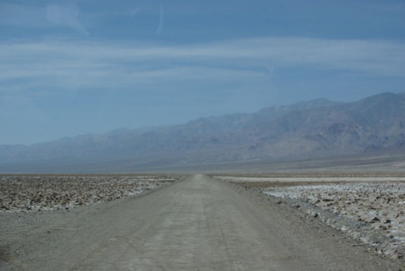
Seven drivers met at the Furnace Creek Visitor Center on Sunday, April 14. The weather was sunny and warm. From Furnace Creek, we headed south along the West Side Highway, and stopped at the memorial marking the Death Valley campsite of the 49ers.
The West Side Highway:
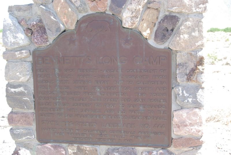
Historical marker near the site of ‘49ers camp:
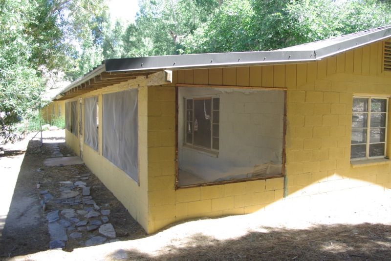
We entered Warm Spring Canyon, inspected the open pit talc mine and stopped for lunch at the former mining camp in Warm Spring Canyon. This building is now an Adopt-a-Cabin:
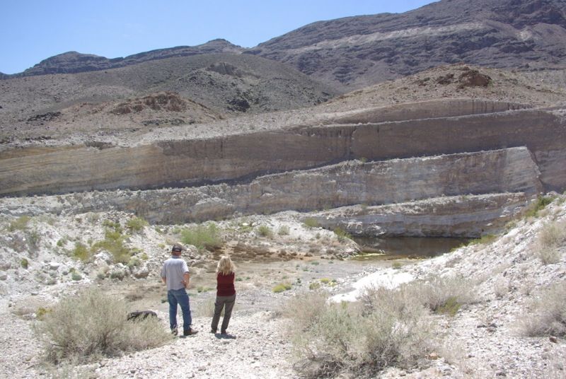
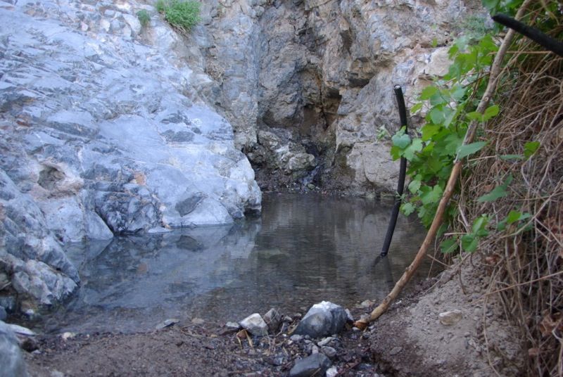
Some of us hiked to the warm spring, up the hill about ¼ mile from the cabin:
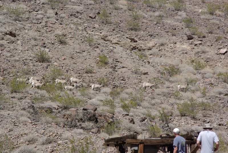
After lunch, we were visited by a small herd of Desert Bighorn Sheep:
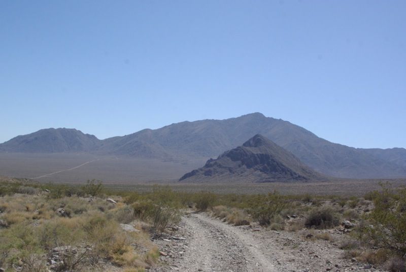
We continued up Warm Spring Canyon and entered the Butte Valley:
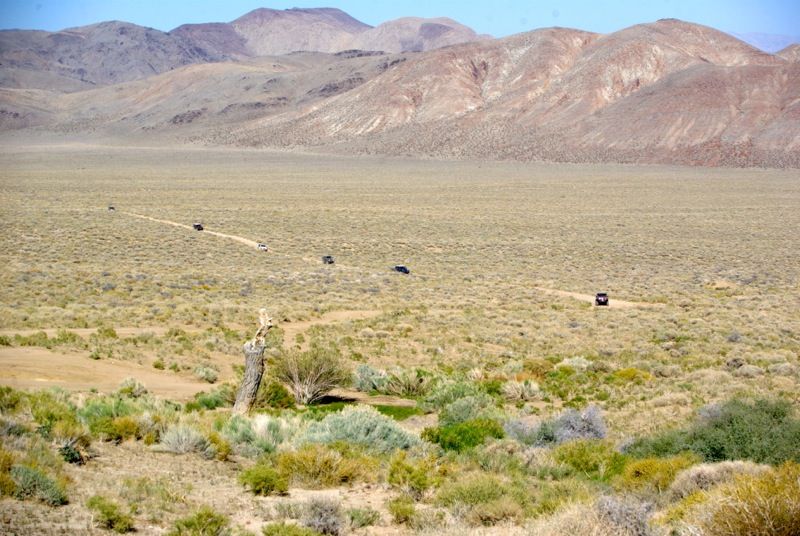
The Geologist’s Cabin (an Adopt-a-Cabin):
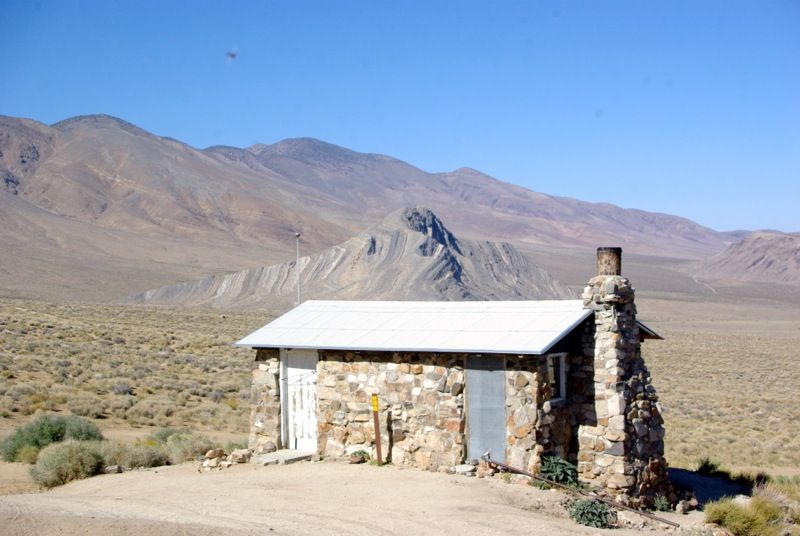

Stella’s Cabin (another Adopt-a-Cabin):
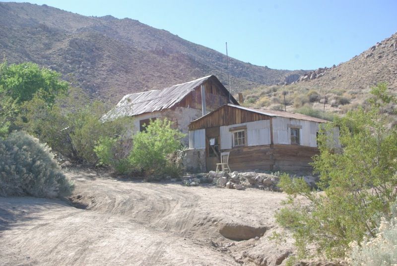
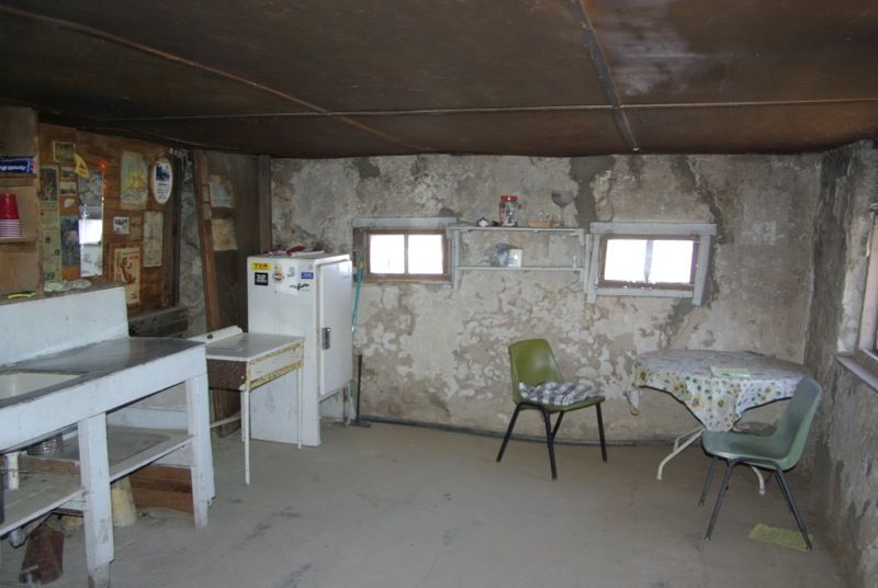
And Russell’s Camp (another Adopt-a-Cabin):
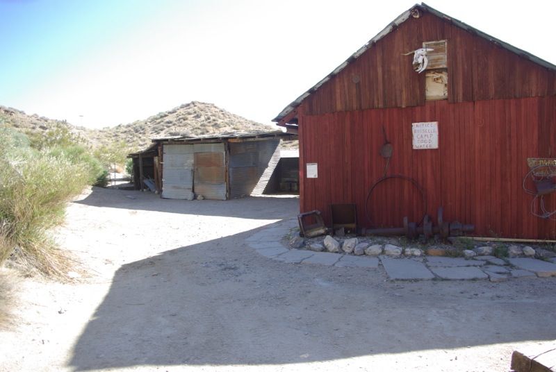
We set up camp for the night at Russell’s Camp and the Geologist’s Cabin.
While at Russell’s Camp, I changed a front driveshaft because I had noticed a clicking noise when I arrived in Death Valley the night before. This was the U-joint that was causing the noise. Three of the four end caps were dry:
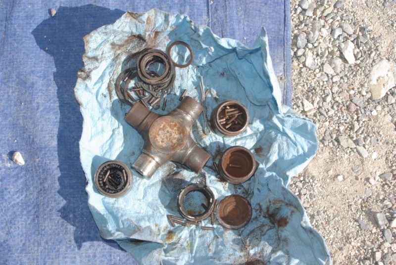
(continued)
Their oxen were weak from lack of forage and their wagons were battered and in poor shape. They too were weary and discouraged but their worst problem was not the valley that lay before them. It was the towering Panamint Mountains that stood like an impenetrable wall as far as could be seen.
From Furnace Creek, the pioneers struggled across the salt flats and attempted to pass over the Panamint Range via Warm Springs Canyon, but were unable to do so. They retreated to the valley floor and sent two young men, William Lewis Manly and John Rogers, 'over the mountain' to get supplies. Nearly a month went by as the men walked more than 300 miles to Mission San Fernando, got supplies at a ranch and trekked back. When Manly and Rogers finally arrived to the camp of the Bennett-Arcane party they found many of the group had left to find their own way out of the valley. The two families with children had patiently remained, trusting the men to save them. Only one man had perished during their long wait, but as they made their way west over the mountains, someone is said to have proclaimed "Goodbye, Death Valley," giving the valley its morbid name.
-from a Death Valley National Park website article[/COLOR]
In April, 2013 a small group of Jeeps followed in the wagon tracks and footsteps of these ‘49ers in “The 2013 Escape from Death Valley Run”.
Sunday, April 14, 2013
Seven drivers met at the Furnace Creek Visitor Center on Sunday, April 14. The weather was sunny and warm. From Furnace Creek, we headed south along the West Side Highway, and stopped at the memorial marking the Death Valley campsite of the 49ers.
The West Side Highway:


Historical marker near the site of ‘49ers camp:

We entered Warm Spring Canyon, inspected the open pit talc mine and stopped for lunch at the former mining camp in Warm Spring Canyon. This building is now an Adopt-a-Cabin:


Some of us hiked to the warm spring, up the hill about ¼ mile from the cabin:

After lunch, we were visited by a small herd of Desert Bighorn Sheep:

We continued up Warm Spring Canyon and entered the Butte Valley:


The Geologist’s Cabin (an Adopt-a-Cabin):


Stella’s Cabin (another Adopt-a-Cabin):


And Russell’s Camp (another Adopt-a-Cabin):

We set up camp for the night at Russell’s Camp and the Geologist’s Cabin.
While at Russell’s Camp, I changed a front driveshaft because I had noticed a clicking noise when I arrived in Death Valley the night before. This was the U-joint that was causing the noise. Three of the four end caps were dry:

(continued)
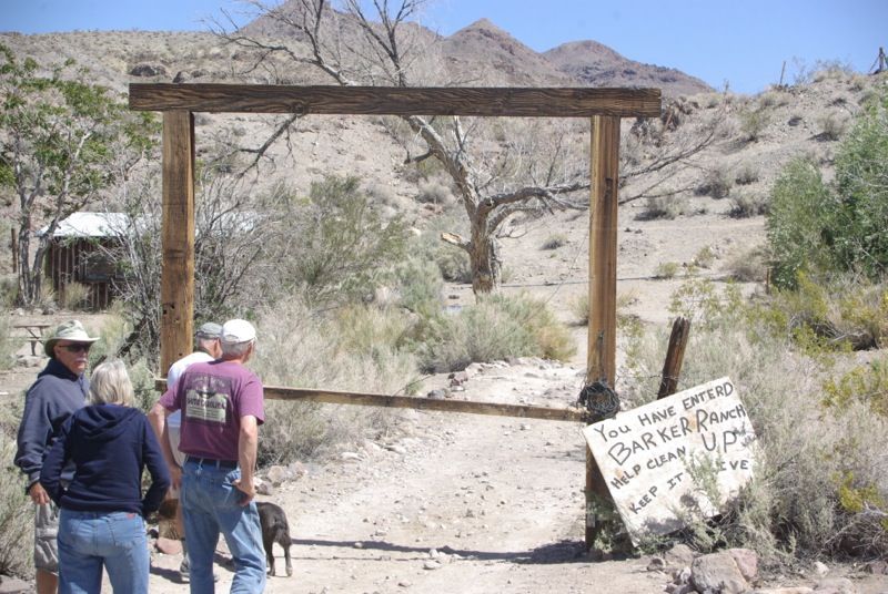
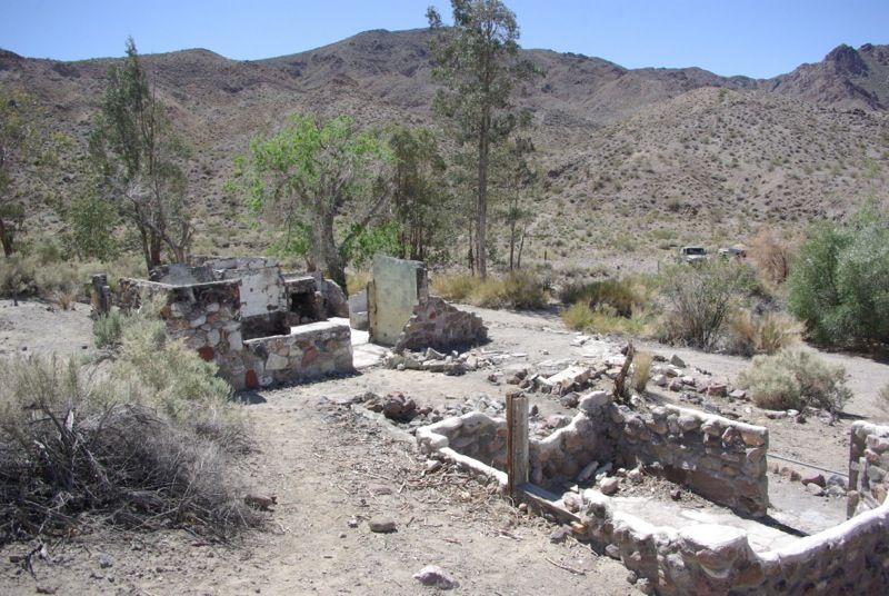
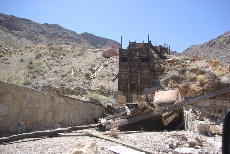

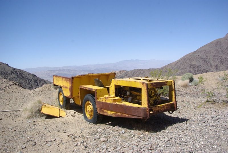
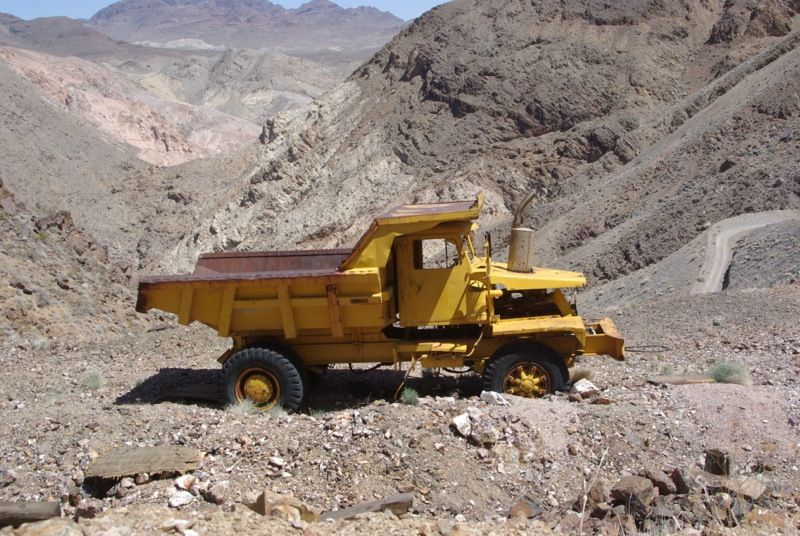
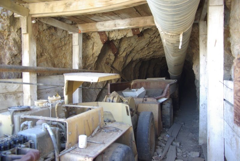
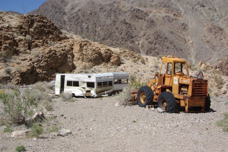
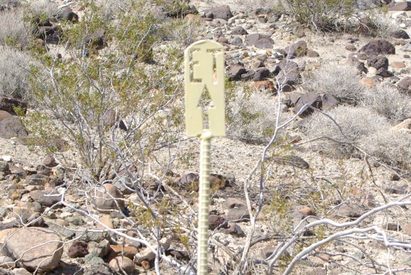
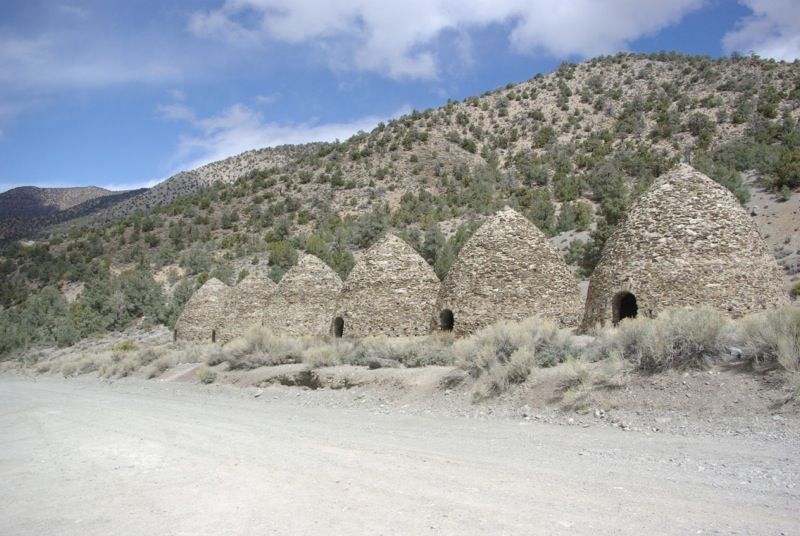
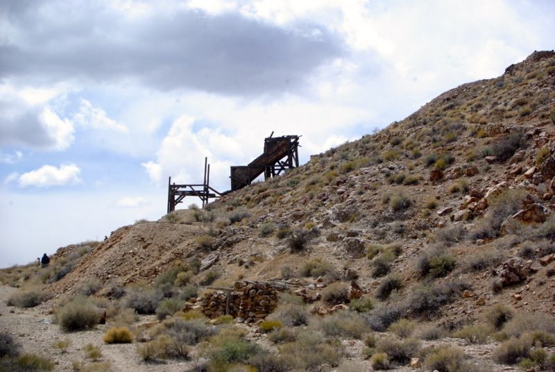
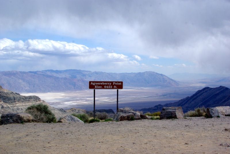


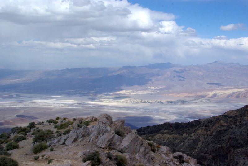
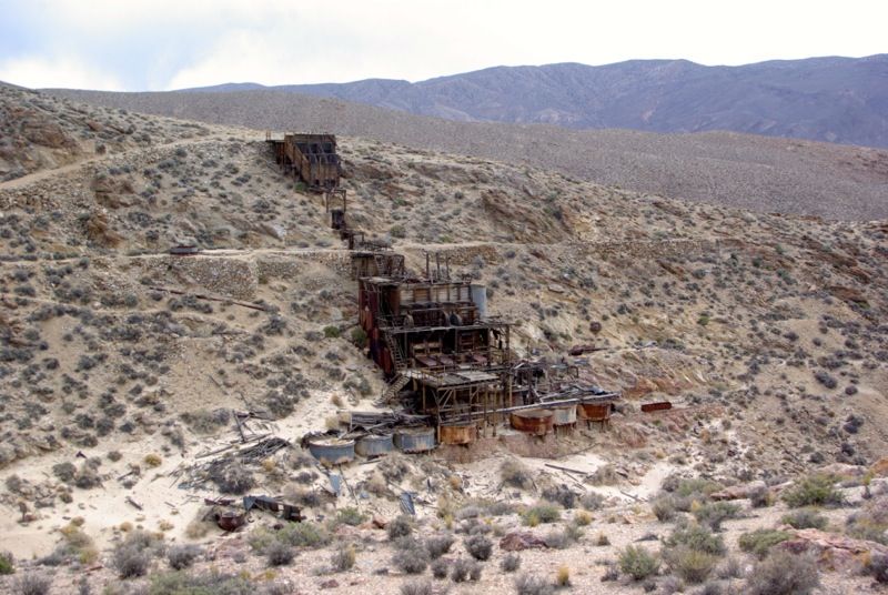

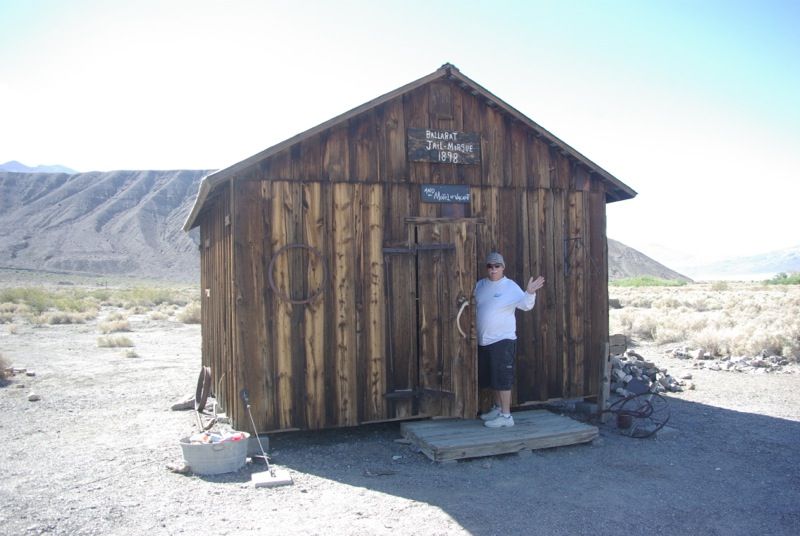
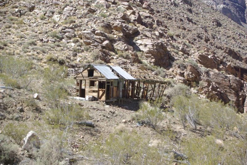
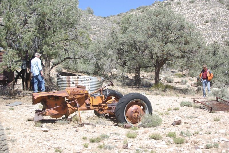
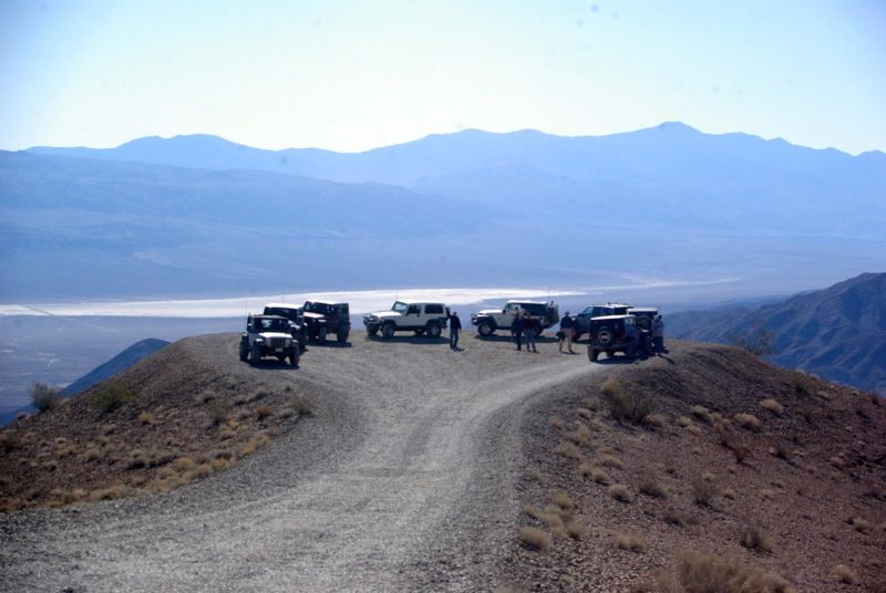
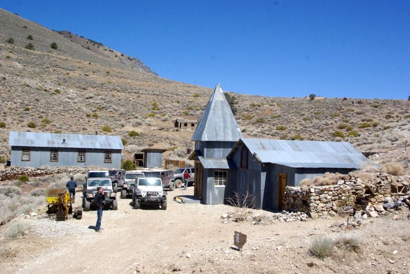
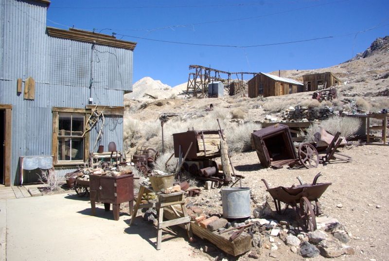
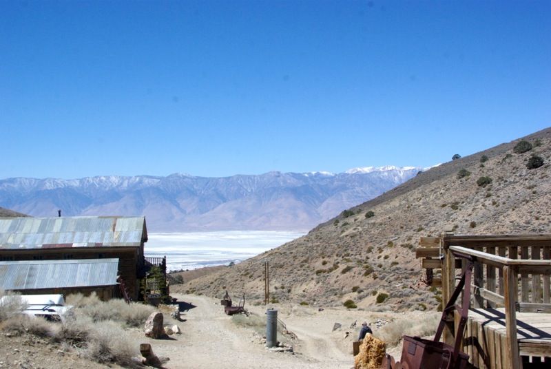
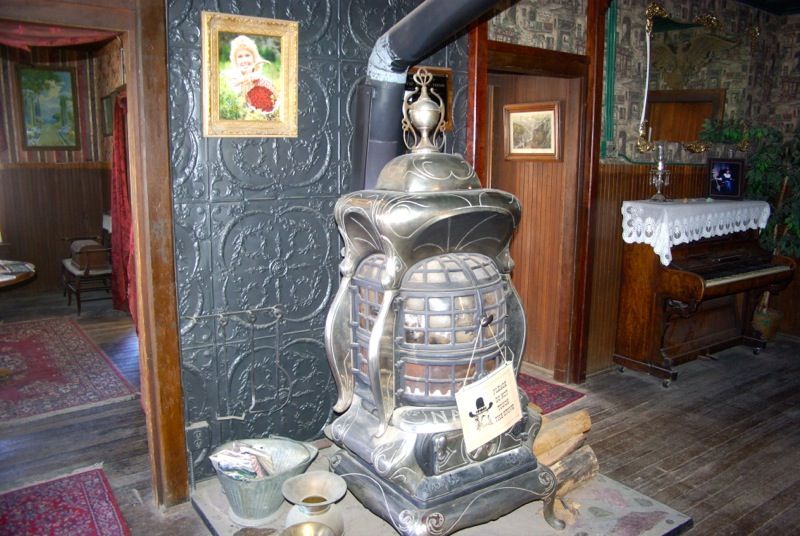
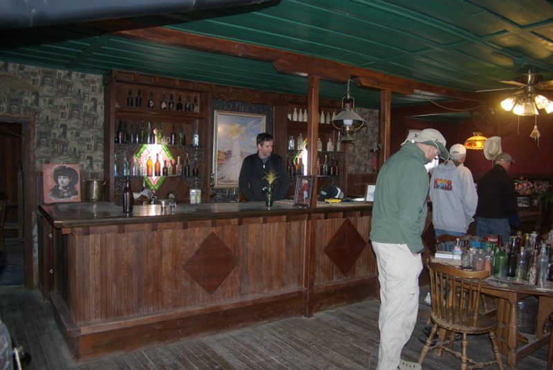
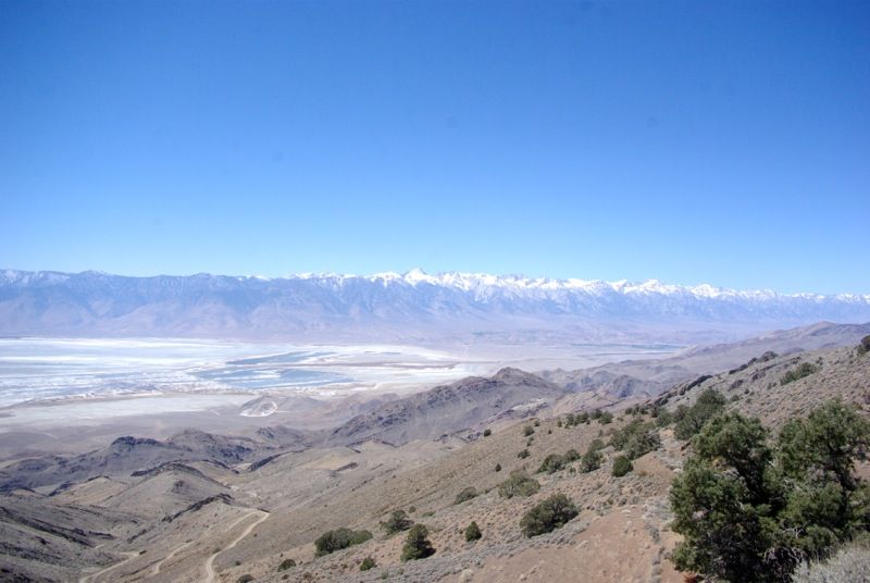
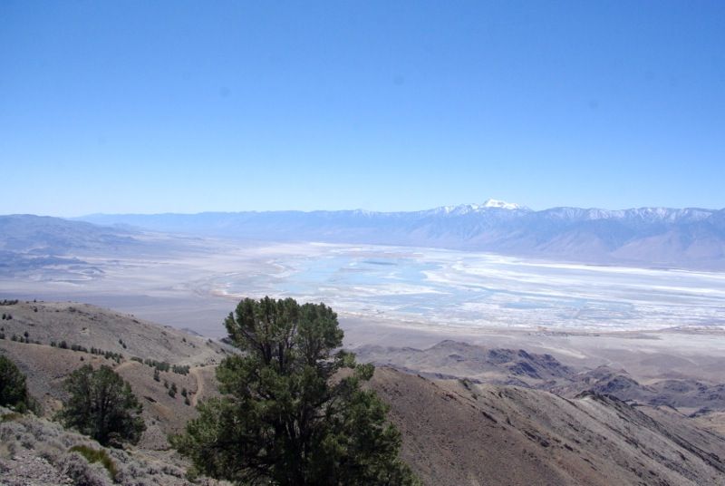
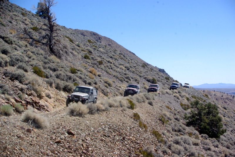
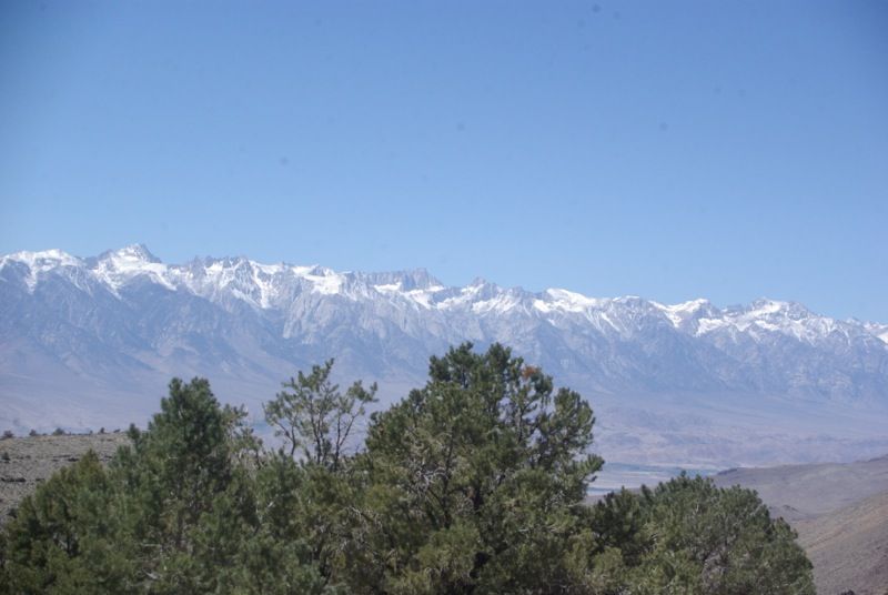
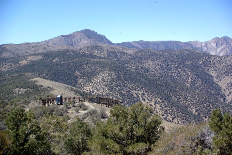
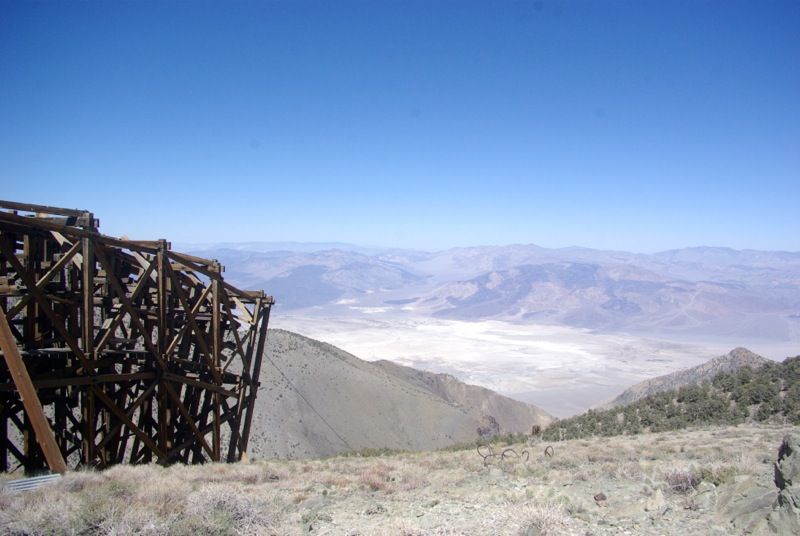
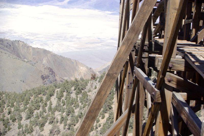
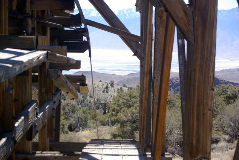
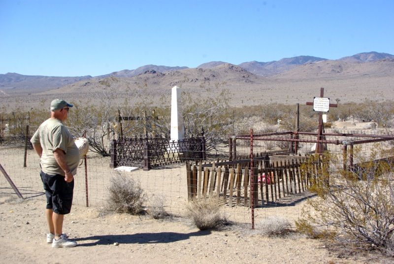
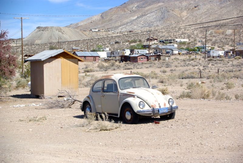
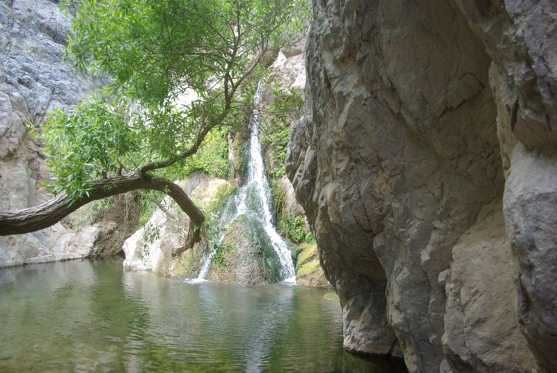
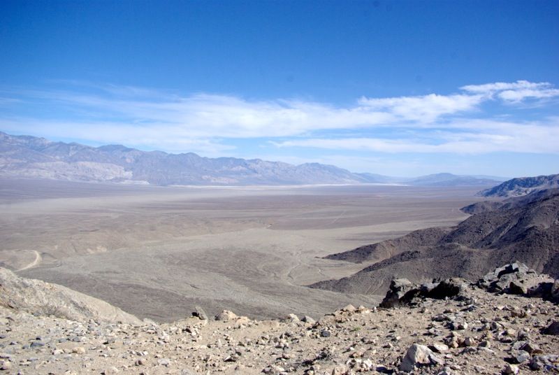
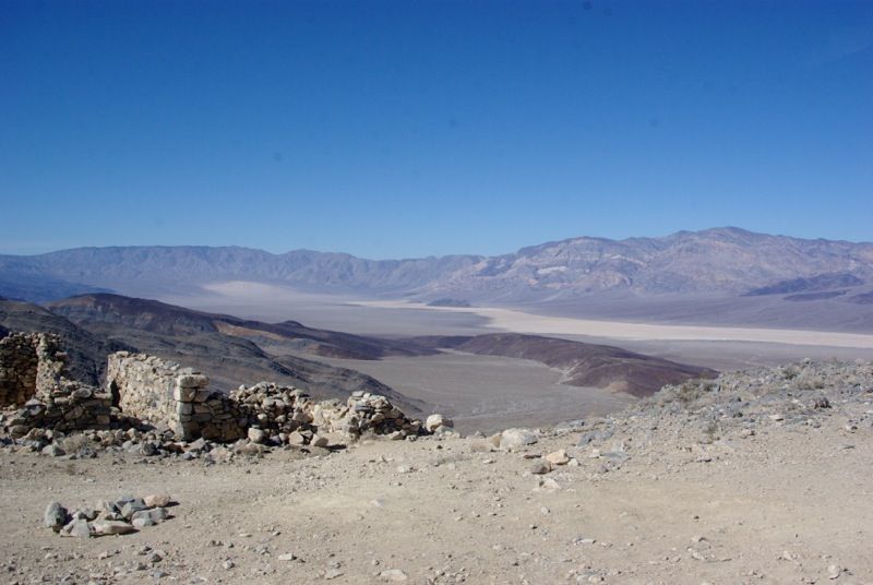
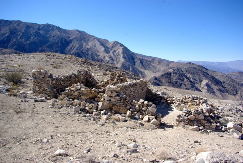
 I haven't been back to Cerro Gordo in 3 years (so far for me) but I remember all the stuff you saw, Mt Whitney, and I wonder if the guy who opened up some things for you is the same guy..The salt Tram was amazing..we actually walked up on it and took some really neat pics.
Comment