 Tweet
Tweet
On Sunday, February 18, 2007, following the Calico Cleanup, Mike (MadMike) and I decided to run some trails on the way back to Los Angeles. We couldn�t interest any of the other MJR members who were at Calico to join us, so we chose to do something different�we went to Big Bear via the �back way��through Rattlesnake Canyon. The Rattlesnake Canyon trail is rated in Charles Wells� �Guide to Southern California Backroads� as �moderate�. It connects Johnson Valley to the east end of the Big Bear area.
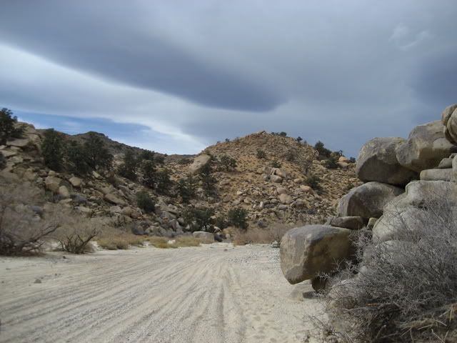
From Calico, we took I-15 to Barstow, then CA247 through Stoddard Valley, Lucerne Valley and Johnson Valley to the trailhead approximately 18 miles east of the town of Lucerne Valley. The first part of the trail is a sandy wash. We kept our tires at street pressure, but shifted to 4 Hi.
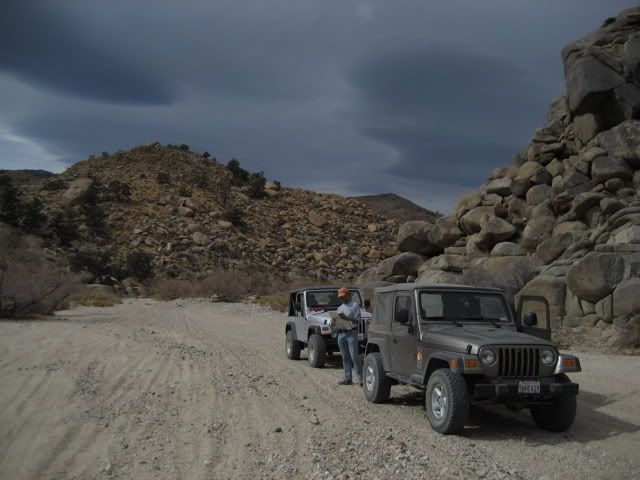
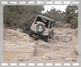
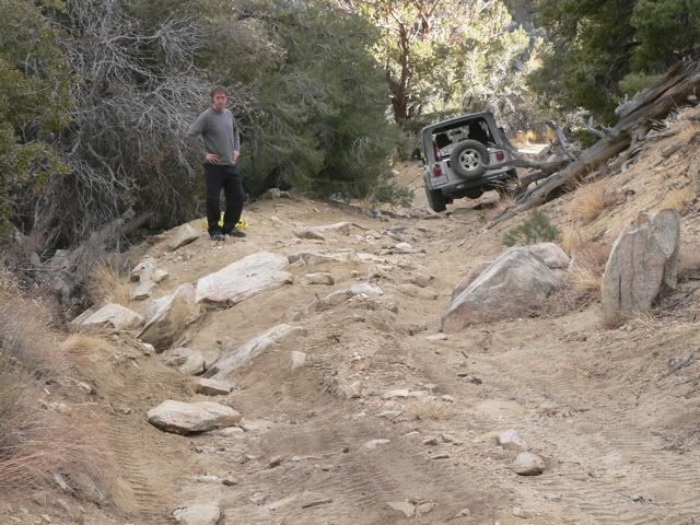
The canyon is susceptible to flash floods and we wanted to figure out how far we had to go because it looked like rain clouds were gathering. We were about one-third of the way up the ten-mile long canyon. My khaki TJ is in front of Mike�s silver TJ.
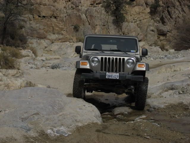
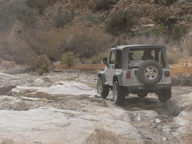
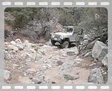
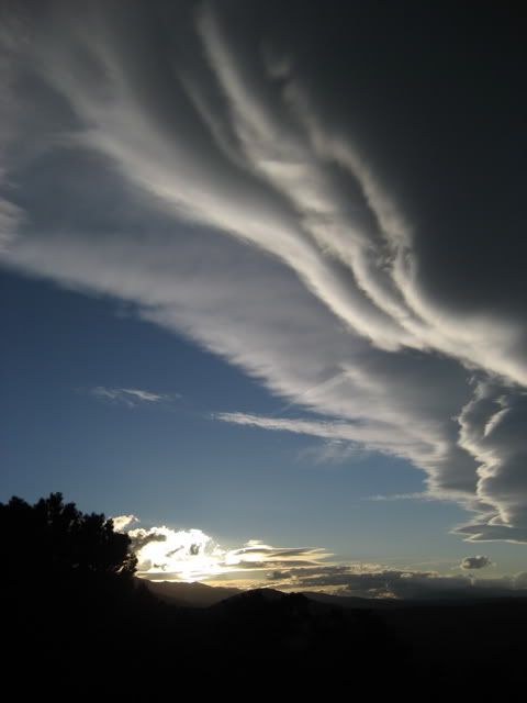
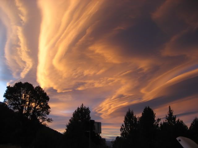
As we climbed higher, the canyon gets narrower and has water flowing down it. We stopped and aired down our tires before continuing up the canyon.

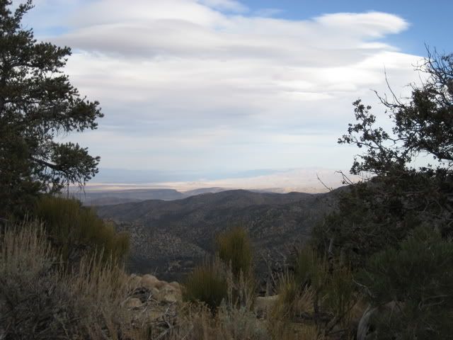
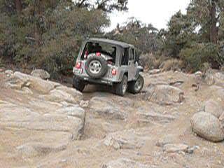
We arrive at a broad plateau at the top of the canyon near Vaughn Springs, and see some of the local wildlife:
From Calico, we took I-15 to Barstow, then CA247 through Stoddard Valley, Lucerne Valley and Johnson Valley to the trailhead approximately 18 miles east of the town of Lucerne Valley. The first part of the trail is a sandy wash. We kept our tires at street pressure, but shifted to 4 Hi.
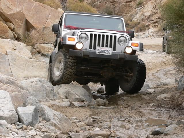
The canyon is susceptible to flash floods and we wanted to figure out how far we had to go because it looked like rain clouds were gathering. We were about one-third of the way up the ten-mile long canyon. My khaki TJ is in front of Mike�s silver TJ.
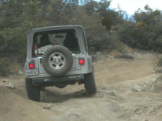
As we climbed higher, the canyon gets narrower and has water flowing down it. We stopped and aired down our tires before continuing up the canyon.
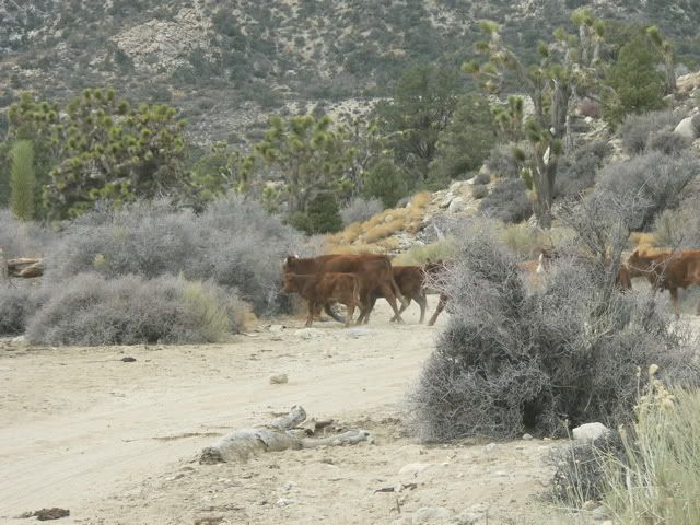
We arrive at a broad plateau at the top of the canyon near Vaughn Springs, and see some of the local wildlife:


 [COLOR=blue]Chris[/COLOR]
Comment