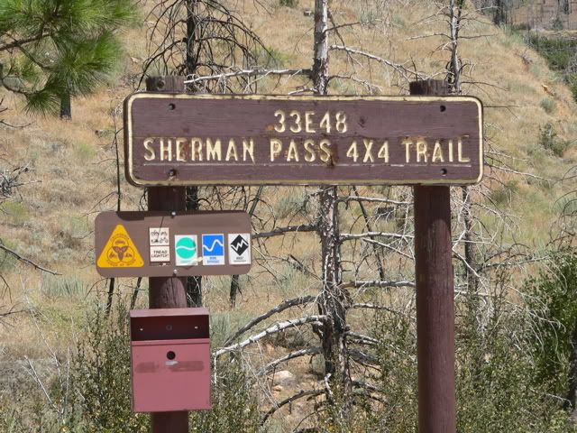
The Sherman Pass 4x4 Trail (33E48) is located in the Sequoia National Forest about 25 miles northeast of Lake Isabella. It is found in the Charles Wells “Guide to Northern California Backroads and 4-Wheel Drive Trails (Trail #68) and is rated “most difficult”. Andrew Weber ran the trail with me on August 27, 2006.
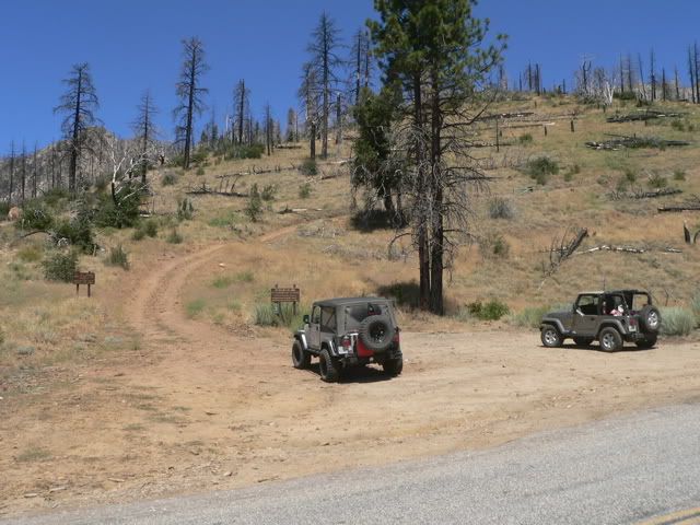
This is the trailhead. Andrew’s silver Rubi Unlimited is on the left and my khaki TJ is on the right.
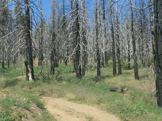
The first part of the trail is easy…
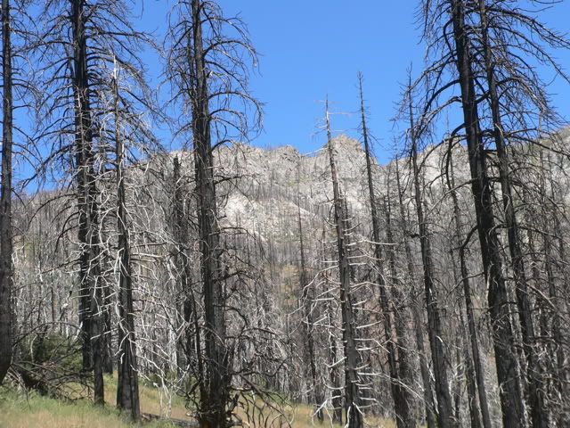
…and scenic.
The trail is very dusty.
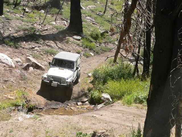
Andrew crossing North Meadow Creek.
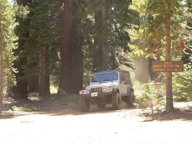
Andrew entering North Meadow.
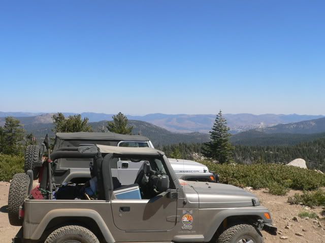
We stopped for lunch at Sherman Peak (elevation 9,900 feet). This is a view toward the east.
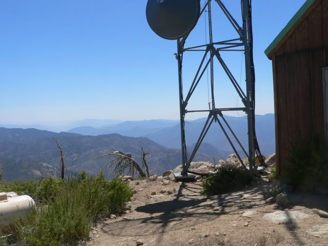
This is a view to the west. It’s hazy so you can only see about 40 miles.
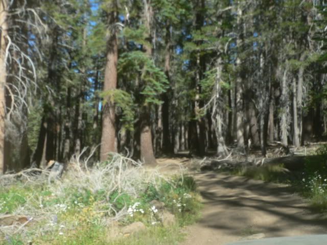
The scenery along the trail. The western half of the trail passes through a burn area so there are few trees. The eastern part of the trail passes through denser forest.
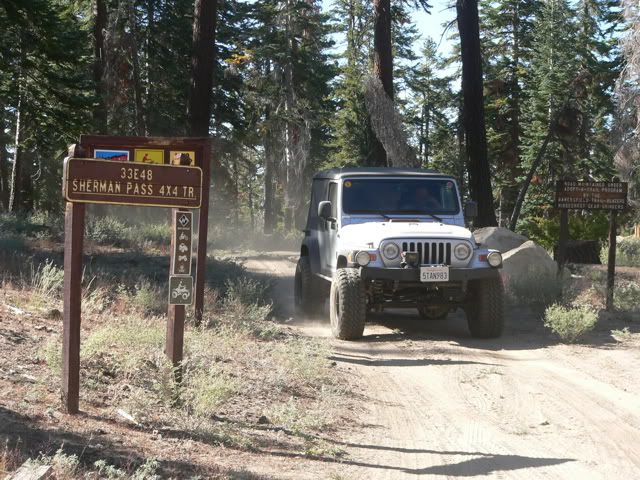
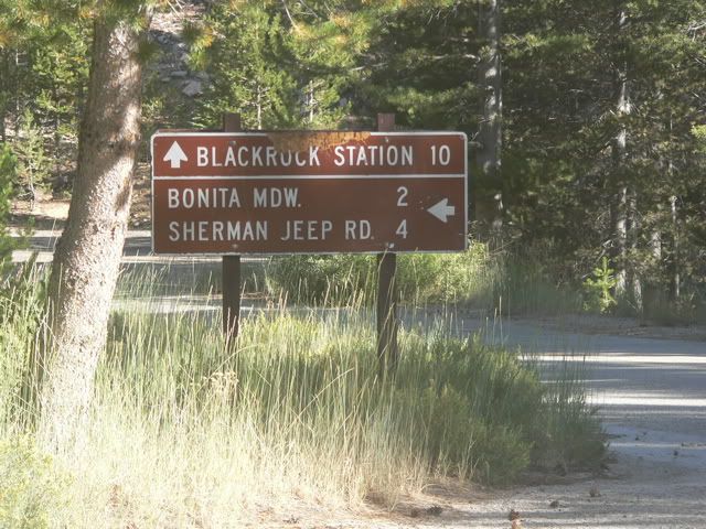
The trail ends at Forest Service Road 22S41, then it is an easy four miles along graded dirt road to return to Sherman Pass Road
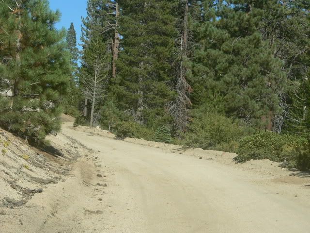
22S41
Upon reaching Sherman Pass Road, we aired up and returned home via Kennedy Meadow, Nine Mile Canyon, US 395 and CA 14 (about four hours). We plan to run this trail again in about a month, and we will invite MJR to join us.
Comment