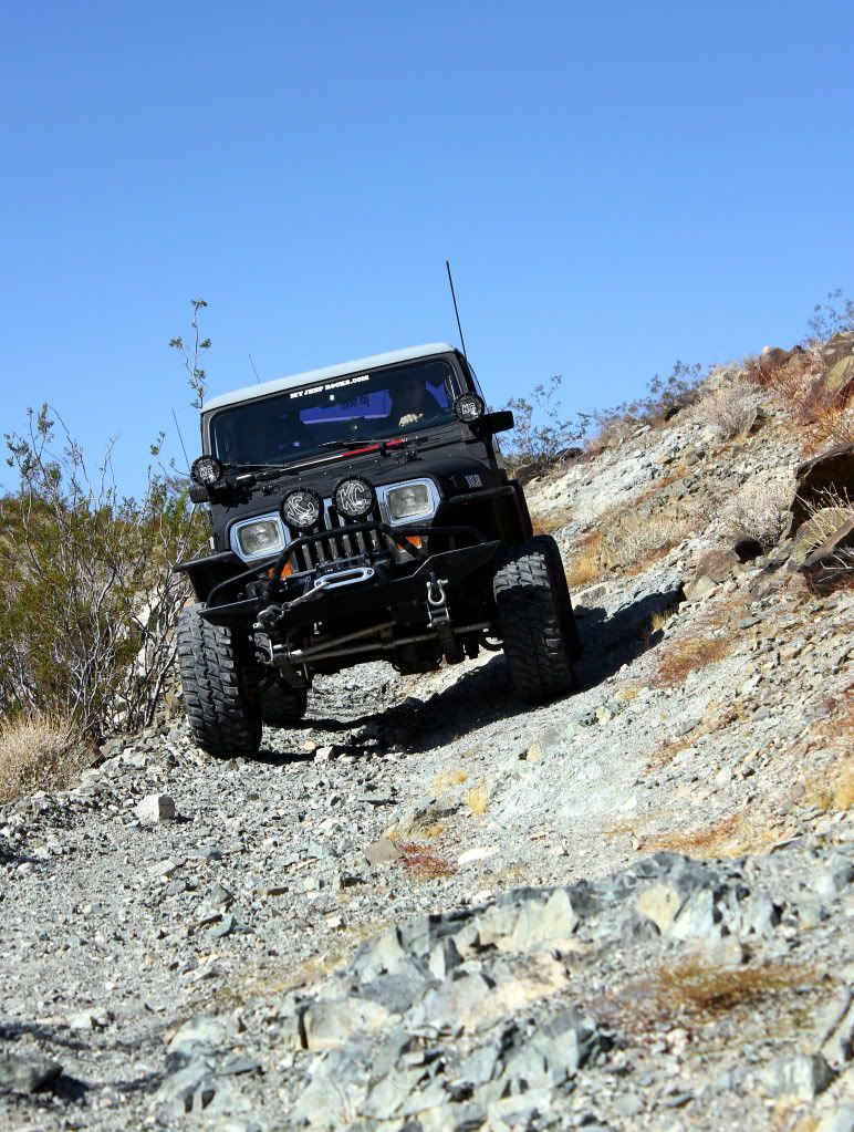
Yesterday Mitch, Ol Man (Rich), and I met for a mid-week run in the Ord Mtns. north Of Lucerne Valley. I know the Ords well but there are still many trails I have not explored. The trail we chose for yesterday's run starts out at Hwy 247 about 2 miles below the Goat Mtn. Summit. This trail is supposed to be difficult with an area of steep off camber side slope.
We had great weather, a little cool at 63 F for the high and light wind out of the north. The sky was crystal clear and you could see forever.
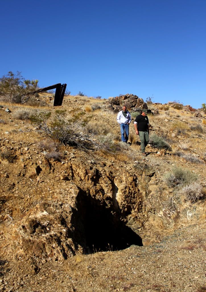
When we first left the Hwy, we took a side trail to a mine Mitch wanted to show us. It still has the remains of an old wooden head frame.
After leaving the mine we headed east on the trail. It winds over a hill and through a valley and works it way up to a saddle. It runs from sandy to rocky with a few little rock gardens that don't present a problem but rather kinda fun.
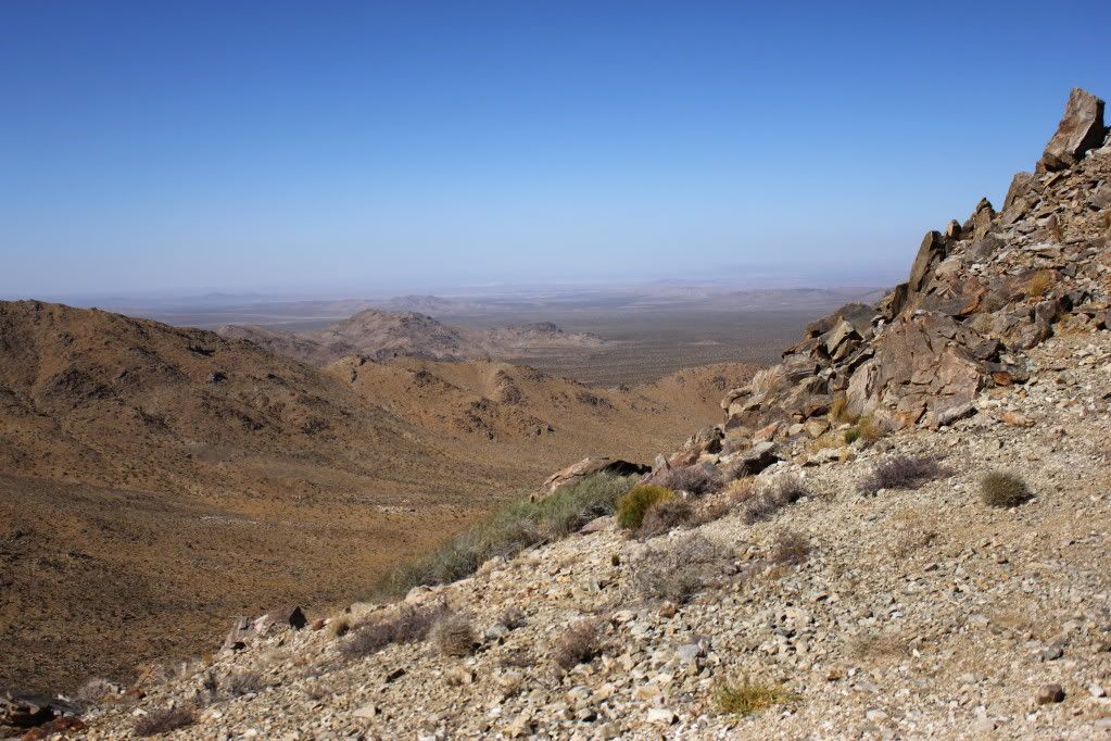
From the top of the saddle we could see dust being kicked up by the wind on Means dry lake miles and miles away!
Heading down rom the top of the saddle the road is rough and this is where the off camber area is. I was dreading it as I'm still a little shell-shocked from flopping my Jeep. It turned out to be much ado about nothing. We got through wih no problem what so ever. It was fun!
The trail works it's way down the canyon to a sandy wash at the bottom. We explored a mine with a wood/corrigated shed built on the front of it.
Our next stop was Quill Spring where we had lunch. In the canyon we were protected from the wind and it was the most perfect place to eat.
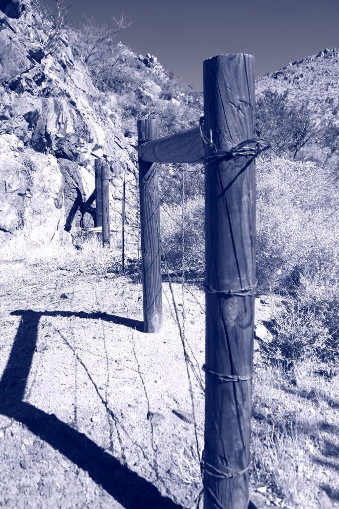
The cottonwood tree is remarkably doing well the leaves haven't started to change colors yet. Ths spring itself is damp, but no standing water at this time. I would like to mention that ther are two gates at the spring. These are to keep the cattle from destroying the spring. PLEASE CLOSE THE GATES IF YOU EVER GO THROUGH THERE. Unfortunately, some ass-wipe removed one of the gates.
From the spring we went to the Quill Tungsten Mine about a mile from the spring. From there the trail leads to a ridge top at 4,802 ASL. The view was stunning!
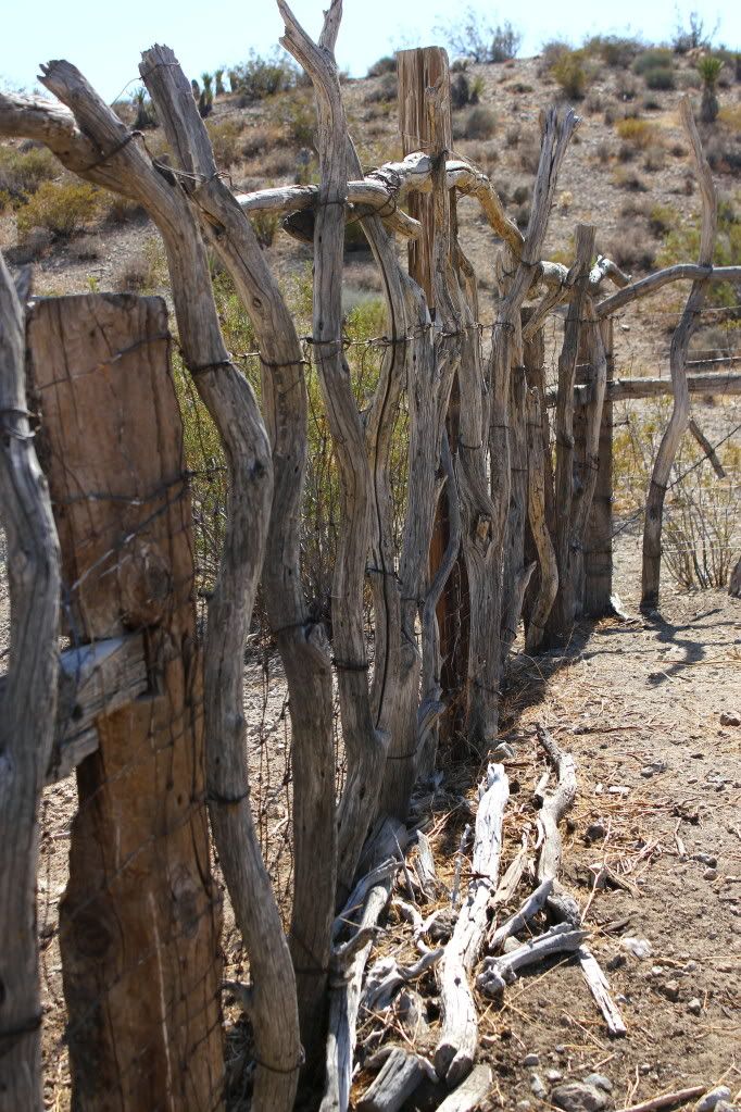
From there we took a trail that leads to Joker Spring which is where the range cattle are rounded up. There is a big watering tank and a large corral there. I am not sure if cattle is still run in the area.
Joker spring was our last stop. After saying good-bye to the spring we worked our way in a southwesterly direction and eventually returning to Hwy 247 near Peterman Hill.
Many thanks to Mitch & Rich for a perfect day. The best ever!










Comment