Thursday, July 7 – Dawson Creek, BC (Mile 0) to Fort Nelson, BC (Mile 283)
The U.S. Army Engineers built the Alaska Highway in only eight months in 1942 as a supply route to connect the Territory of Alaska to Canada and the United States. The highway extends from Dawson Creek, BC to Delta Junction, AK. During the war, civilian contractors were hired to upgrade the road to remove sharp bends and steep grades. By the end of the war, the route was 1,422 miles long. Reconstruction and rerouting has now reduced the length of the Alaska Highway to approximately 1,390 miles in length. The road is now completely paved, although sections of the road are frequently being repaired/repaved.
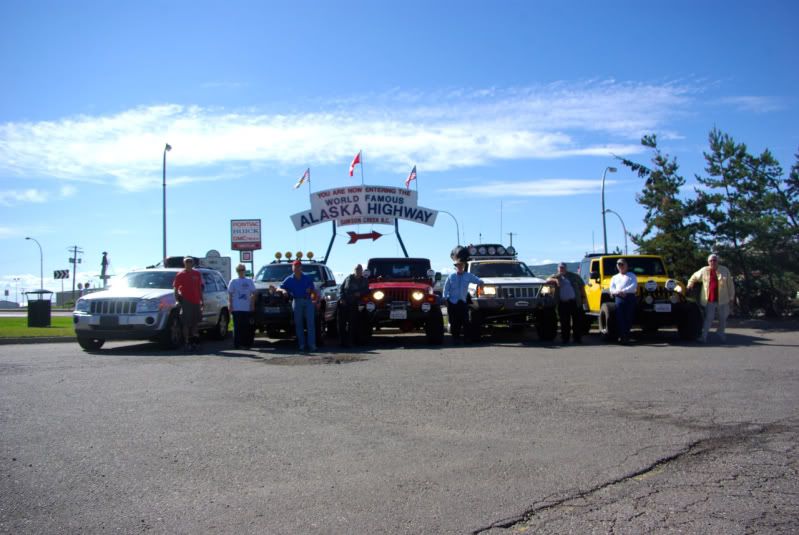
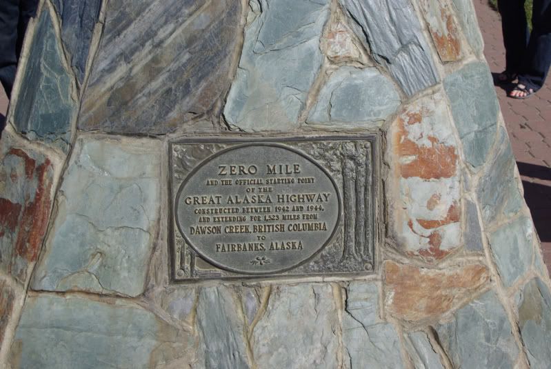
When The Jeep Expeditions Group™ announced that an Alaska trip would take place in July 2011, about two dozen members of the Group expressed interest in the “Arctic Expedition” but when it came time to leave home, only six members were able to commit to the month long trip and a seventh member was only able to take enough vacation time to travel as far as Jasper, AB before returning home. One of the six members had a rear wheel bearing seize near Missoula, MT on July 3. It damaged his custom axle shaft, and it took three days to get a replacement axle shaft to Missoula and have it cut down and re-splined. So only five vehicles made it to the “official” start point of the 2011 Arctic Jeep Expedition in Dawson Creek, BC on July 7:
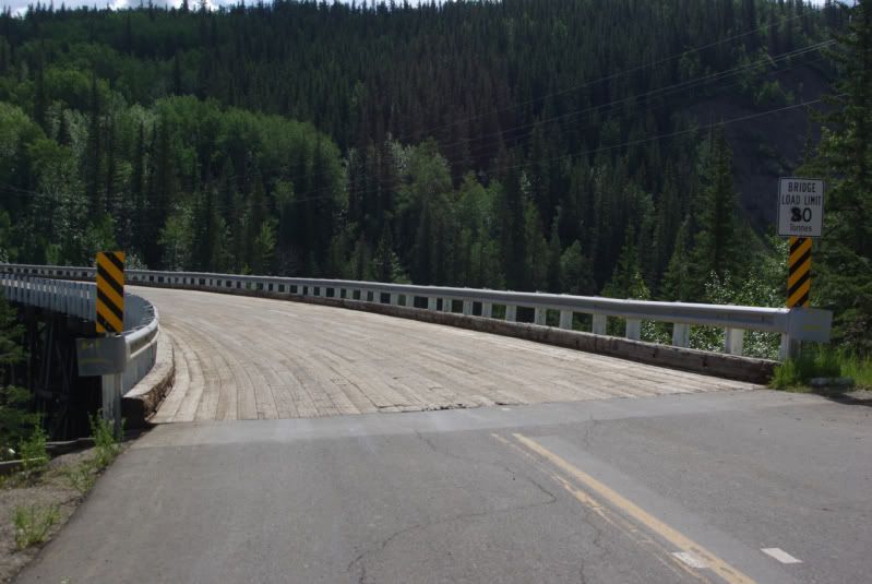
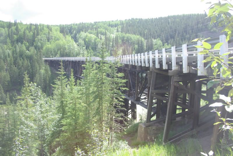
The Kiskatinaw Curved Bridge at Mile 21. This curved bridge is the only original timber bridge that is still in use today:
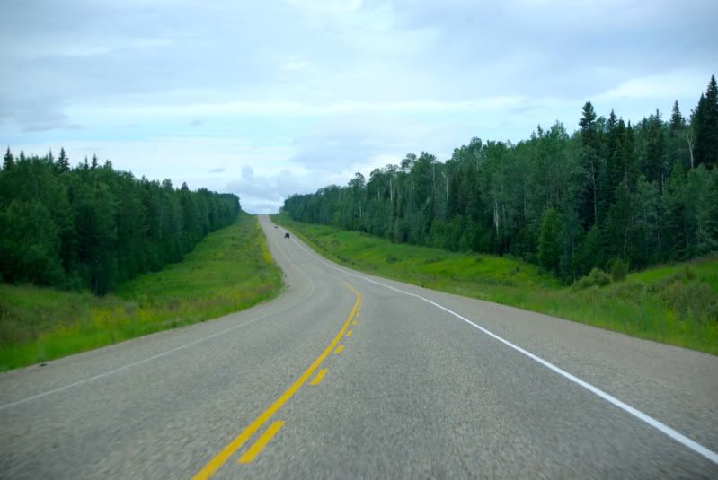
The road between Dawson Creek, BC and Fort Nelson, BC is in excellent condition. The terrain consists of gentle, rolling hills with thick forests and an occasional farm. The scenery looked identical to some of the back roads that I have seen in Georgia and Alabama. The Alaska Highway near Fort Nelson, BC:
Friday, July 8 – Fort Nelson, BC (Mile 283) to Watson Lake, YT (Mile 613)
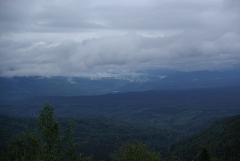
We spent the night of July 7 in Fort Nelson, BC. Sunset was at 10:20 pm PDT and sunrise on July 8 was at 4:15 am PDT. The highway between Fort Nelson, BC and Watson Lake, YT crosses the Rocky Mountains so it has more curves and hills than the previous stretch of highway. As we left Fort Nelson, the skies were cloudy with intermittent rain showers. This is the Muskwa River Valley Viewpoint near Mile 330:
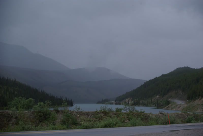
This is Summit Lake at Mile 373. Just past the lake at Mile 374 is Summit Pass, 4,250 feet elevation, which is the highest point on the Alaska Highway:
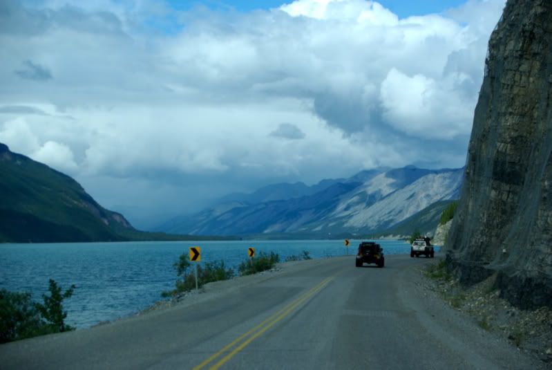
Muncho Lake at Mile 436. This seven mile long lake is known for its beautiful blue/green water due to copper oxides in the lake water. An interpretive sign at a turnout explains that the Army Engineers had to blast the base of the bluffs along the lake to build the roadway:
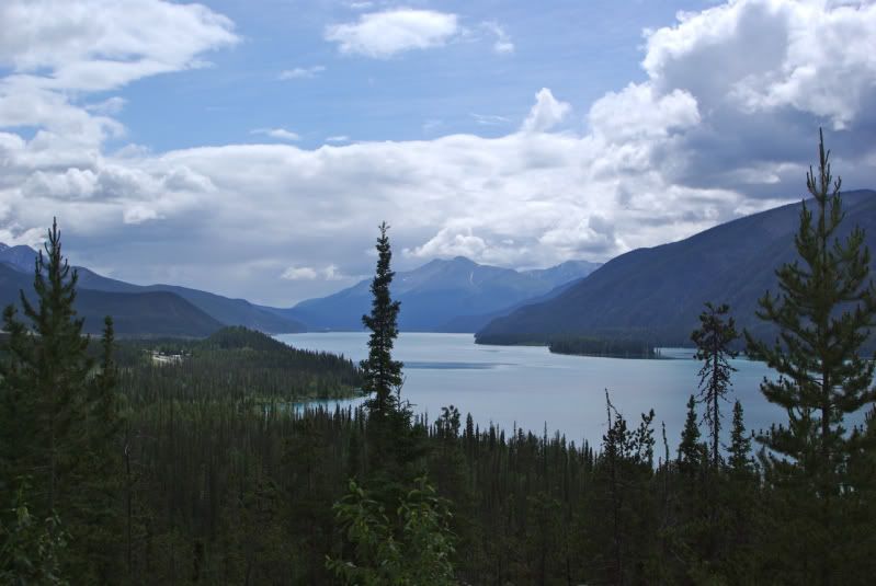
Muncho Lake Viewpoint at Mile 445:
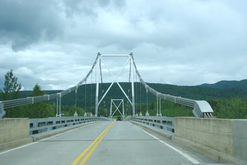
Liard River Bridge – Mile 476. This bridge was built in 1943 and it is the only remaining suspension bridge on the Alaska Highway:
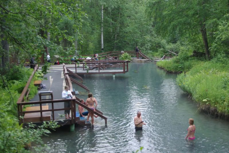
Liard River Hot Springs Provincial Park. Mile 478. The hot springs has several pools ranging from 102ºF to 126ºF. It is a popular stop for Alaska Highway travelers:
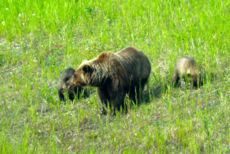
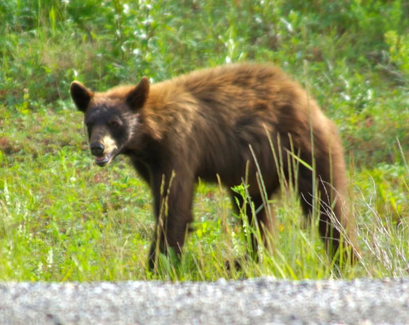
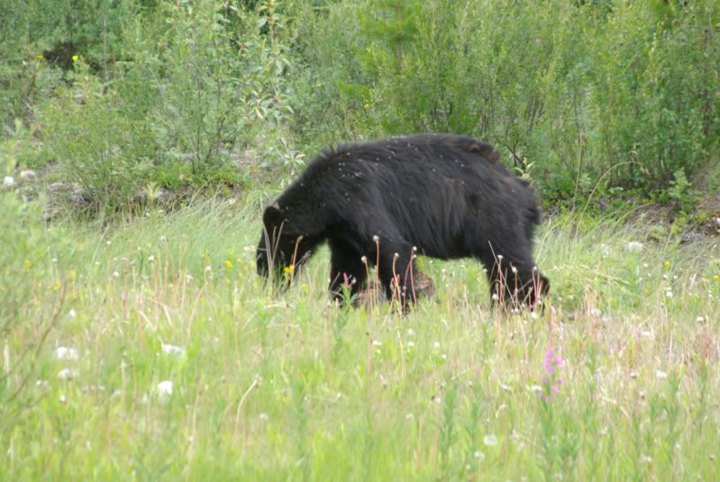
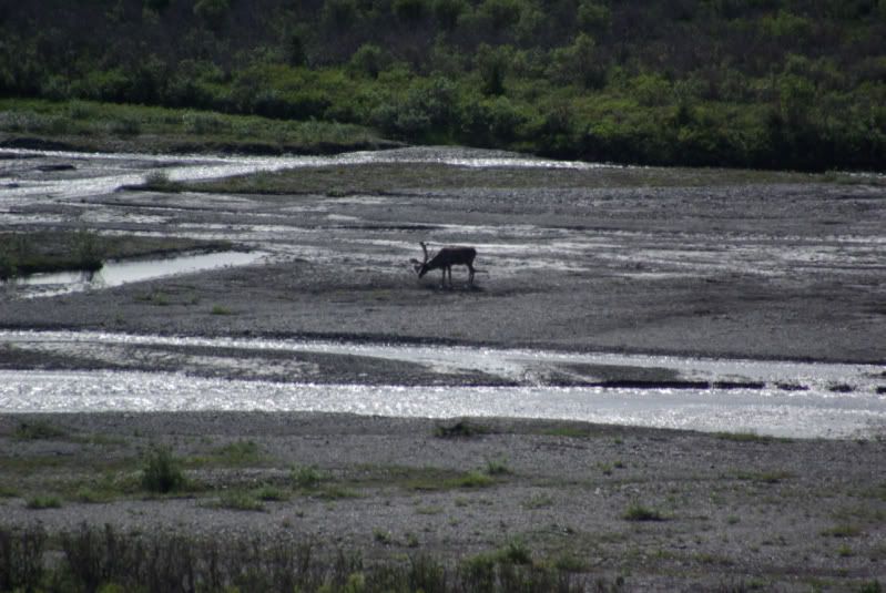
Wildlife seen along the highway:
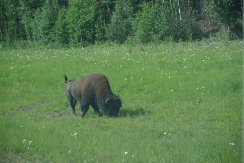
(continued)
The U.S. Army Engineers built the Alaska Highway in only eight months in 1942 as a supply route to connect the Territory of Alaska to Canada and the United States. The highway extends from Dawson Creek, BC to Delta Junction, AK. During the war, civilian contractors were hired to upgrade the road to remove sharp bends and steep grades. By the end of the war, the route was 1,422 miles long. Reconstruction and rerouting has now reduced the length of the Alaska Highway to approximately 1,390 miles in length. The road is now completely paved, although sections of the road are frequently being repaired/repaved.
When The Jeep Expeditions Group™ announced that an Alaska trip would take place in July 2011, about two dozen members of the Group expressed interest in the “Arctic Expedition” but when it came time to leave home, only six members were able to commit to the month long trip and a seventh member was only able to take enough vacation time to travel as far as Jasper, AB before returning home. One of the six members had a rear wheel bearing seize near Missoula, MT on July 3. It damaged his custom axle shaft, and it took three days to get a replacement axle shaft to Missoula and have it cut down and re-splined. So only five vehicles made it to the “official” start point of the 2011 Arctic Jeep Expedition in Dawson Creek, BC on July 7:


The Kiskatinaw Curved Bridge at Mile 21. This curved bridge is the only original timber bridge that is still in use today:


The road between Dawson Creek, BC and Fort Nelson, BC is in excellent condition. The terrain consists of gentle, rolling hills with thick forests and an occasional farm. The scenery looked identical to some of the back roads that I have seen in Georgia and Alabama. The Alaska Highway near Fort Nelson, BC:

Friday, July 8 – Fort Nelson, BC (Mile 283) to Watson Lake, YT (Mile 613)
We spent the night of July 7 in Fort Nelson, BC. Sunset was at 10:20 pm PDT and sunrise on July 8 was at 4:15 am PDT. The highway between Fort Nelson, BC and Watson Lake, YT crosses the Rocky Mountains so it has more curves and hills than the previous stretch of highway. As we left Fort Nelson, the skies were cloudy with intermittent rain showers. This is the Muskwa River Valley Viewpoint near Mile 330:

This is Summit Lake at Mile 373. Just past the lake at Mile 374 is Summit Pass, 4,250 feet elevation, which is the highest point on the Alaska Highway:

Muncho Lake at Mile 436. This seven mile long lake is known for its beautiful blue/green water due to copper oxides in the lake water. An interpretive sign at a turnout explains that the Army Engineers had to blast the base of the bluffs along the lake to build the roadway:

Muncho Lake Viewpoint at Mile 445:

Liard River Bridge – Mile 476. This bridge was built in 1943 and it is the only remaining suspension bridge on the Alaska Highway:

Liard River Hot Springs Provincial Park. Mile 478. The hot springs has several pools ranging from 102ºF to 126ºF. It is a popular stop for Alaska Highway travelers:

Wildlife seen along the highway:


(continued)



Comment