Announcement

Collapse
No announcement yet.

North to Alaska – Part 3 (The Alaska Highway and Prudhoe Bay)

Collapse

Forum Thread First Post

Collapse
X
 
  • Filter
  • Time
  • Show
Clear All
new posts

  • Trail Report: North to Alaska – Part 3 (The Alaska Highway and Prudhoe Bay)

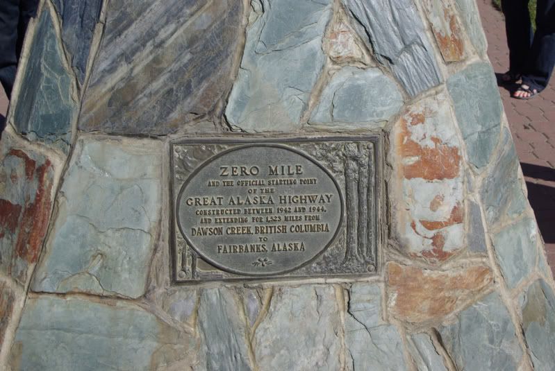
    Thursday, July 7 – Dawson Creek, BC (Mile 0) to Fort Nelson, BC (Mile 283)

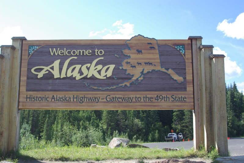
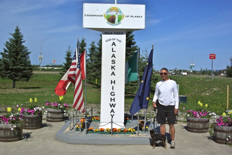
    The U.S. Army Engineers built the Alaska Highway in only eight months in 1942 as a supply route to connect the Territory of Alaska to Canada and the United States. The highway extends from Dawson Creek, BC to Delta Junction, AK. During the war, civilian contractors were hired to upgrade the road to remove sharp bends and steep grades. By the end of the war, the route was 1,422 miles long. Reconstruction and rerouting has now reduced the length of the Alaska Highway to approximately 1,390 miles in length. The road is now completely paved, although sections of the road are frequently being repaired/repaved.

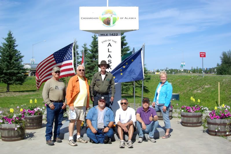
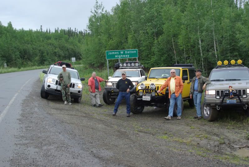
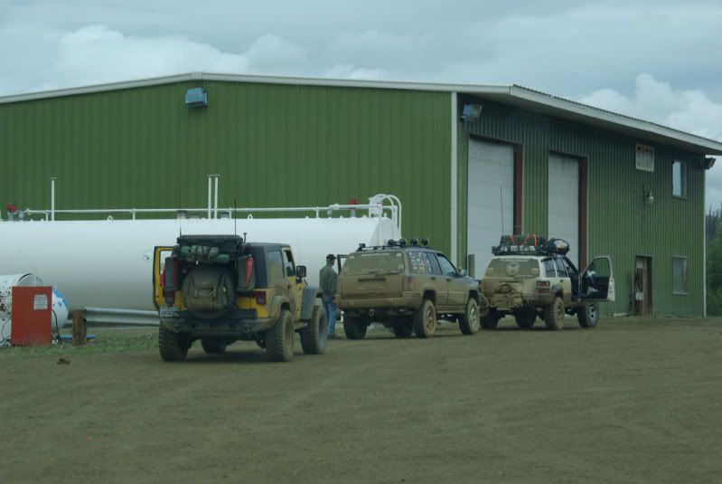
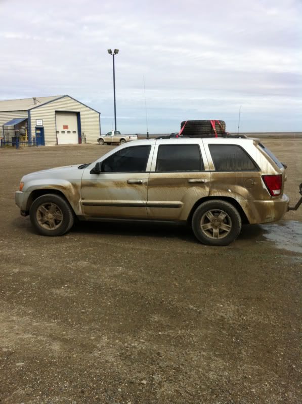
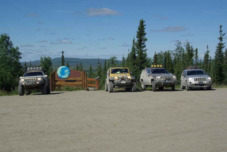
    When The Jeep Expeditions Group™ announced that an Alaska trip would take place in July 2011, about two dozen members of the Group expressed interest in the “Arctic Expedition” but when it came time to leave home, only six members were able to commit to the month long trip and a seventh member was only able to take enough vacation time to travel as far as Jasper, AB before returning home. One of the six members had a rear wheel bearing seize near Missoula, MT on July 3. It damaged his custom axle shaft, and it took three days to get a replacement axle shaft to Missoula and have it cut down and re-splined. So only five vehicles made it to the “official” start point of the 2011 Arctic Jeep Expedition in Dawson Creek, BC on July 7:


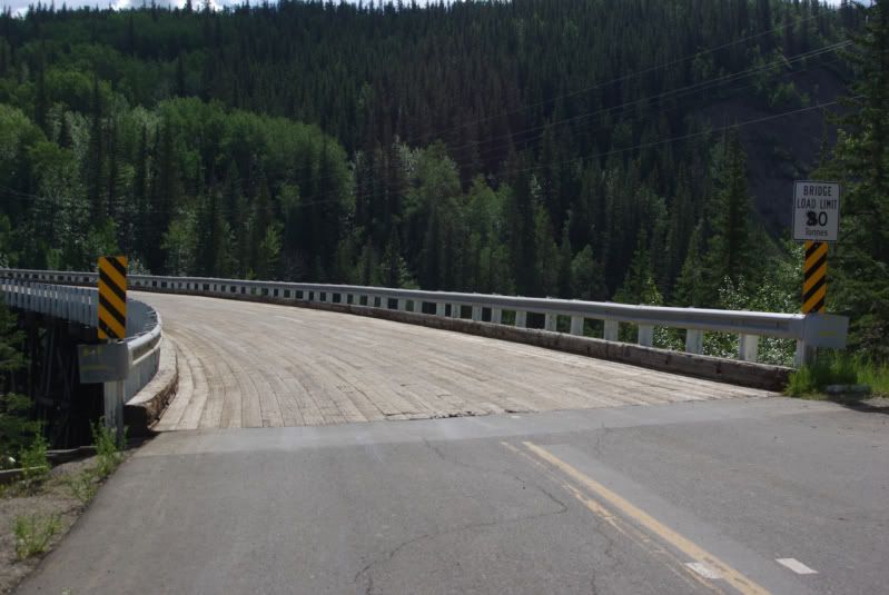
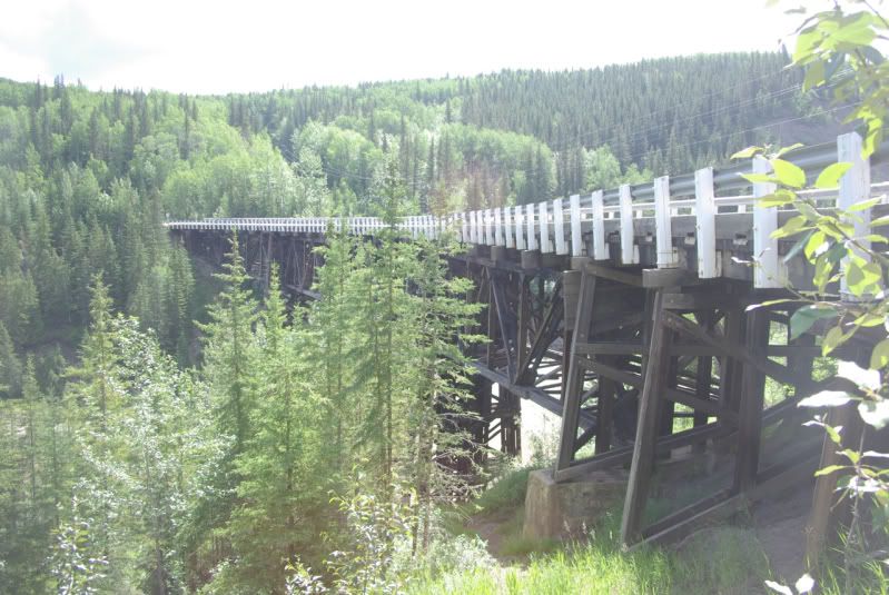
    The Kiskatinaw Curved Bridge at Mile 21. This curved bridge is the only original timber bridge that is still in use today:


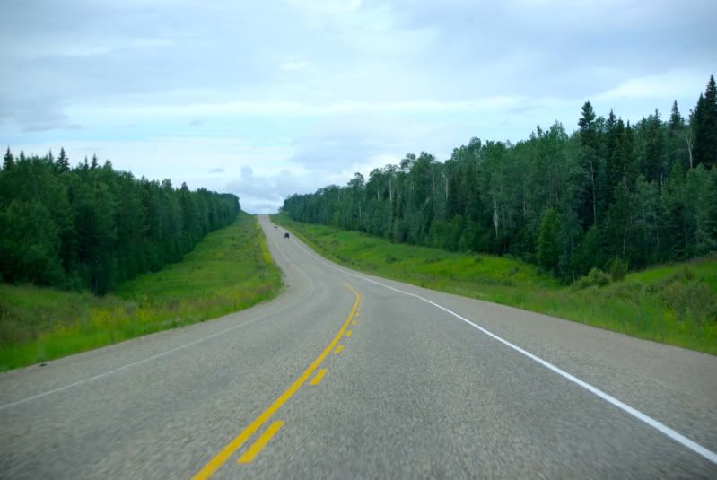
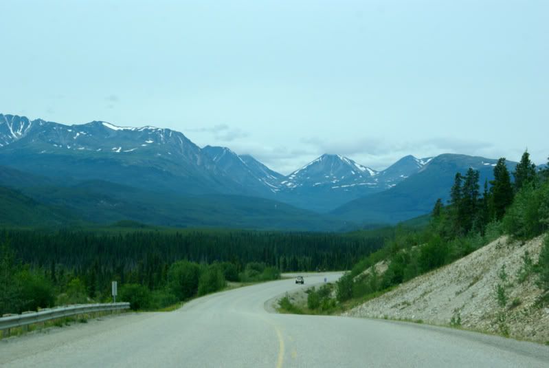
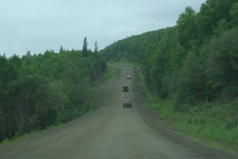
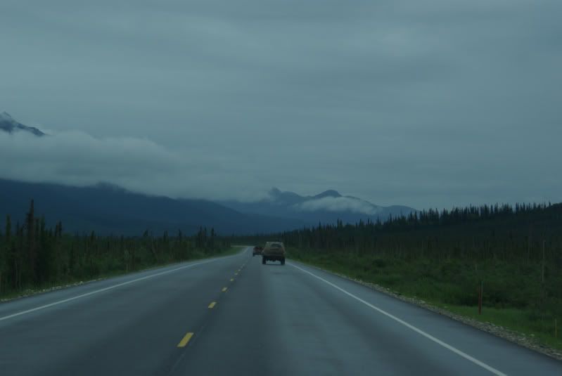
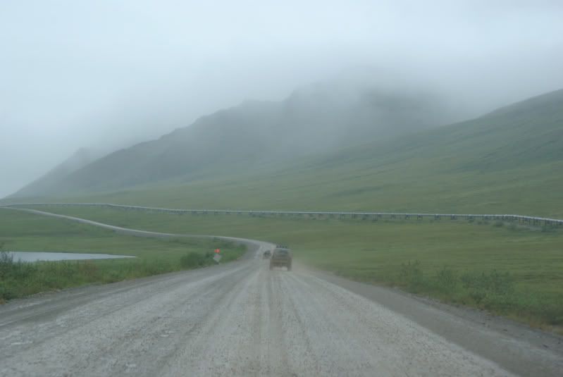
    The road between Dawson Creek, BC and Fort Nelson, BC is in excellent condition. The terrain consists of gentle, rolling hills with thick forests and an occasional farm. The scenery looked identical to some of the back roads that I have seen in Georgia and Alabama. The Alaska Highway near Fort Nelson, BC:


    Friday, July 8 – Fort Nelson, BC (Mile 283) to Watson Lake, YT (Mile 613)

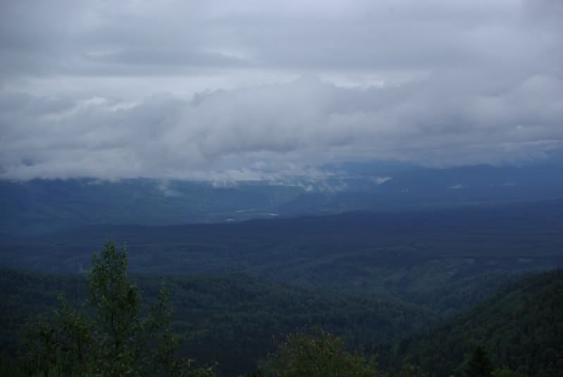
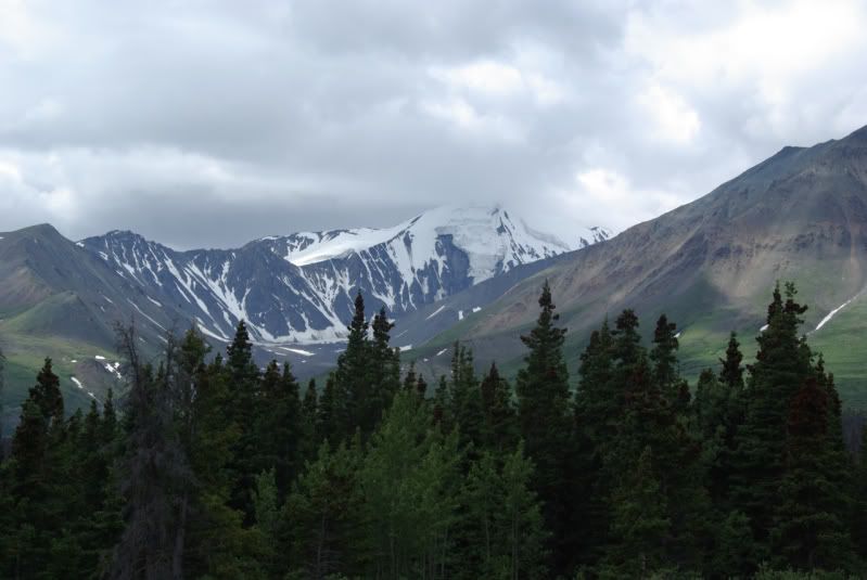
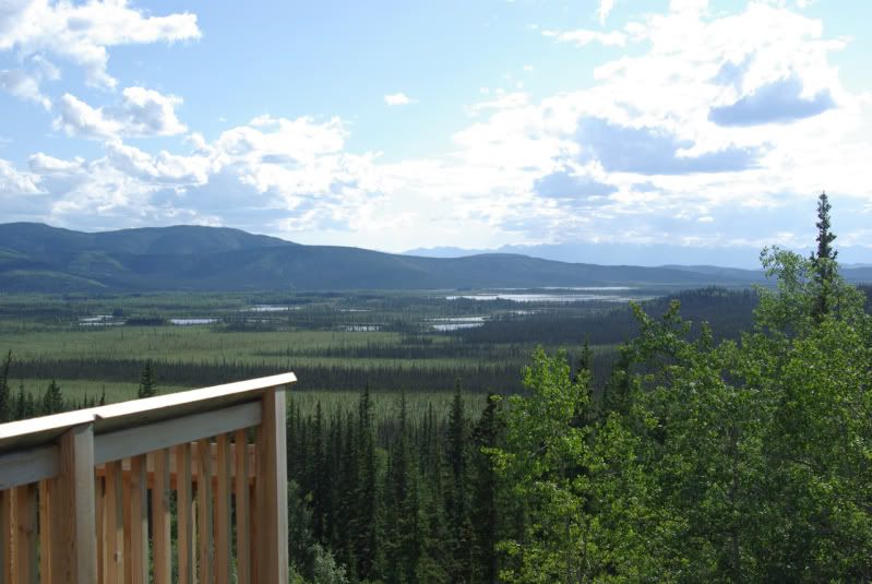
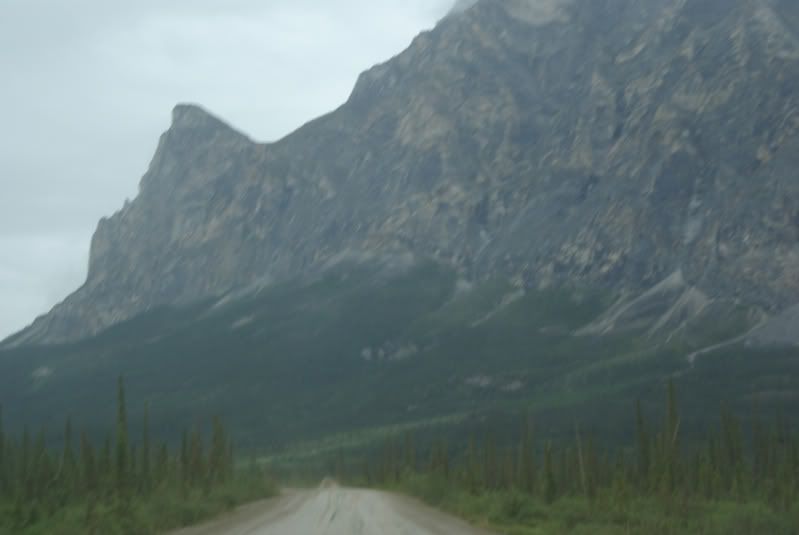
    We spent the night of July 7 in Fort Nelson, BC. Sunset was at 10:20 pm PDT and sunrise on July 8 was at 4:15 am PDT. The highway between Fort Nelson, BC and Watson Lake, YT crosses the Rocky Mountains so it has more curves and hills than the previous stretch of highway. As we left Fort Nelson, the skies were cloudy with intermittent rain showers. This is the Muskwa River Valley Viewpoint near Mile 330:


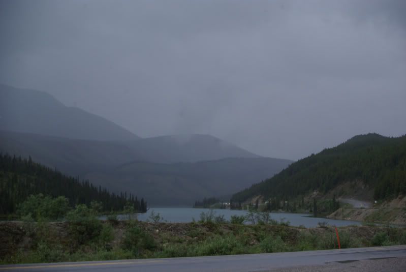
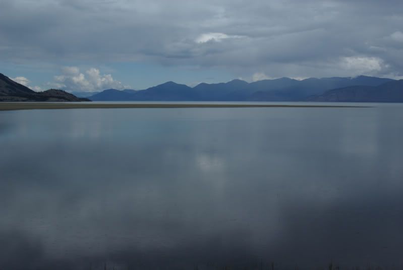
    This is Summit Lake at Mile 373. Just past the lake at Mile 374 is Summit Pass, 4,250 feet elevation, which is the highest point on the Alaska Highway:


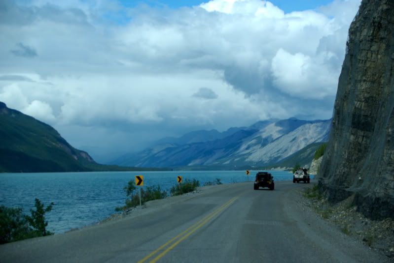
    Muncho Lake at Mile 436. This seven mile long lake is known for its beautiful blue/green water due to copper oxides in the lake water. An interpretive sign at a turnout explains that the Army Engineers had to blast the base of the bluffs along the lake to build the roadway:


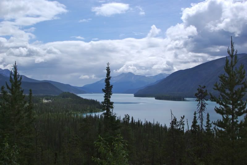
    Muncho Lake Viewpoint at Mile 445:


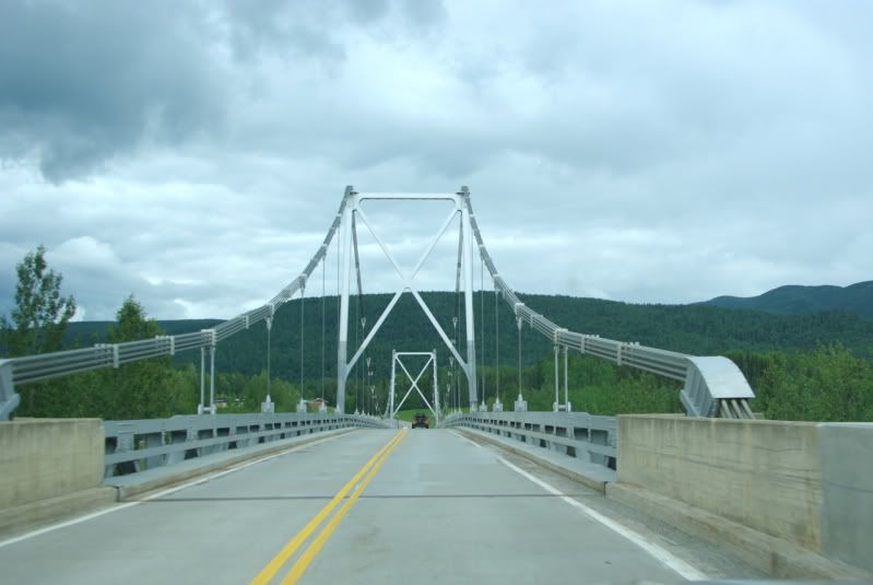
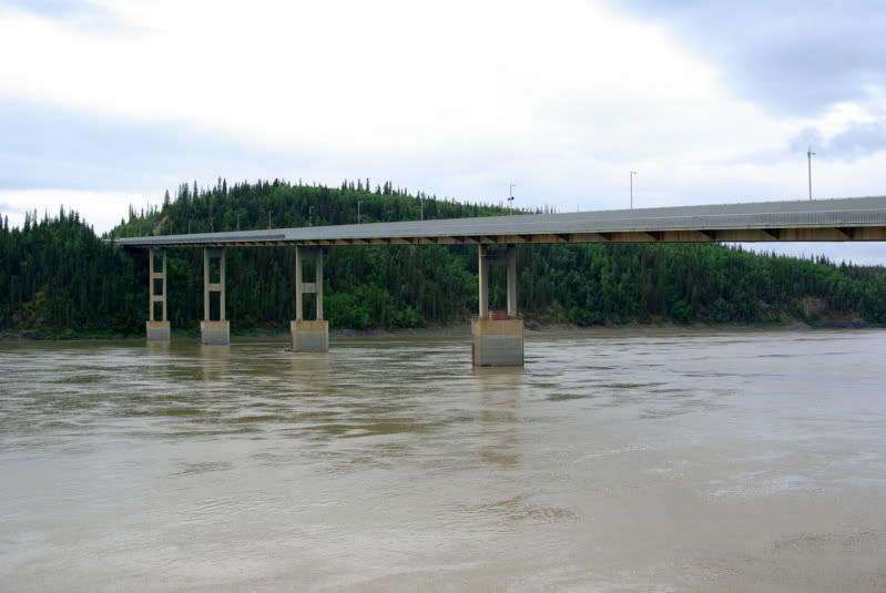
    Liard River Bridge – Mile 476. This bridge was built in 1943 and it is the only remaining suspension bridge on the Alaska Highway:


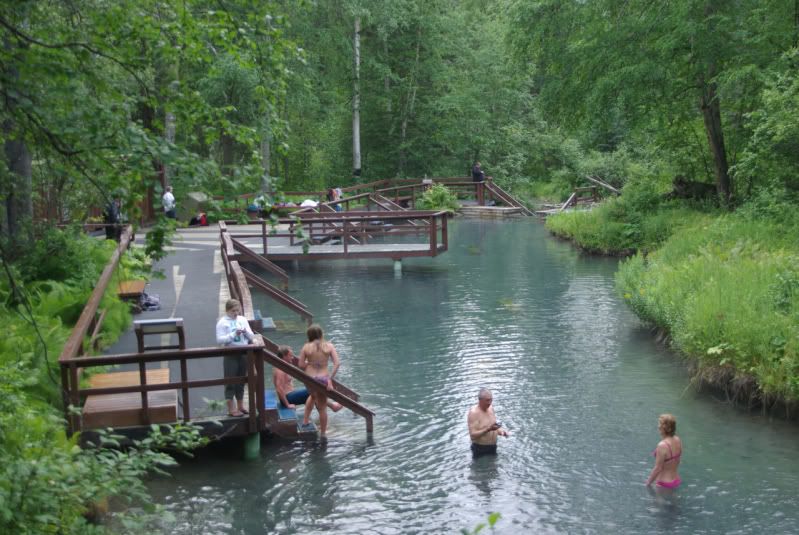
    Liard River Hot Springs Provincial Park. Mile 478. The hot springs has several pools ranging from 102ºF to 126ºF. It is a popular stop for Alaska Highway travelers:


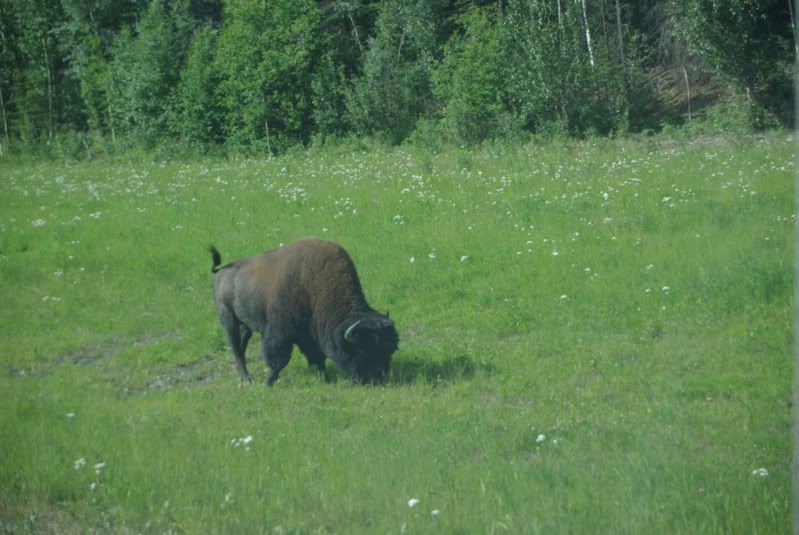
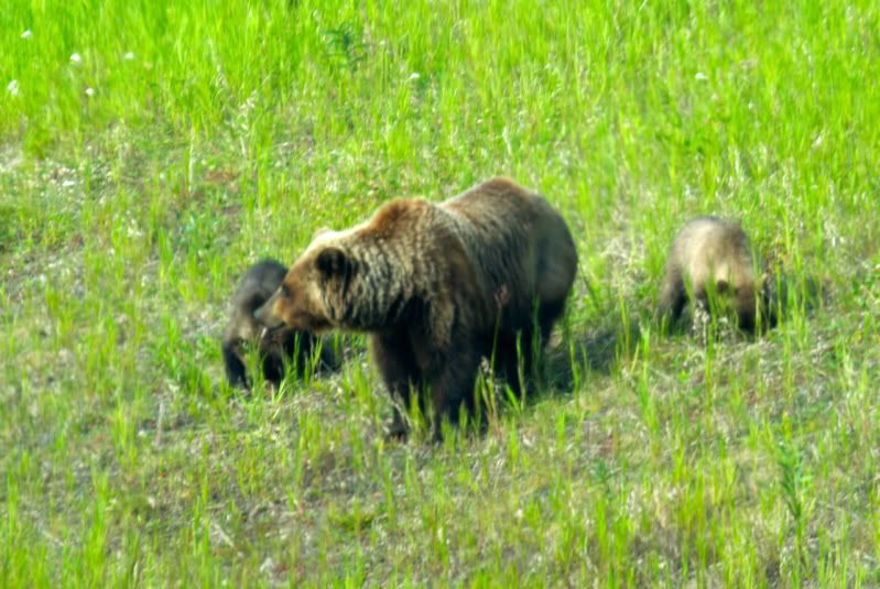
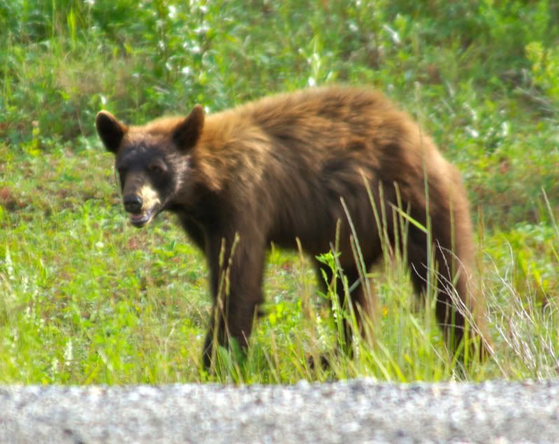
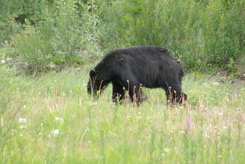
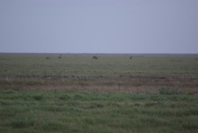
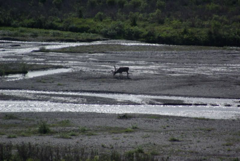
    Wildlife seen along the highway:


    (continued)
    If you don't like the way I drive, stay out of the bushes!
    KI6MLU

  • #2
    Saturday, July 9 – Watson Lake, YT (Mile 613) to Haines Junction, YT (Mile 985)

    Our next overnight stop was at Watson Lake, YT. On the night of July 8, the sun set in Watson Lake at 10:55 pm PDT. Sunrise on July 9 was at 4:26 am PDT. The Signpost Forest at Watson Lake, YT (Mile 613) is a major tourist attraction. During the construction of the Alaska Highway, a soldier posted a sign pointing the way to his hometown. Others have since posted an estimated 70,000 signs in the Signpost Forest.


    Rancheria River Valley at approximately Mile 680.


    Nisutlin Bay Bridge – Mile 776:


    Whitehorse is located on the banks of the Yukon River and is the capital of Yukon Territory – Mile 887. The SS Klondike National Historic Site in Whitehorse, YT features tours of the riverboat, built in 1929 and retired from service in 1955.


    The next overnight stop was at Haines Junction, YT. On July 9, sunset was at 11:35 pm PDT. Sunrise on July 10 was at 4:55 am PDT.

    Sunday, July 10 – Haines Junction, YT (Mile 985) to Tok, AK (Mile 1314)

    Kluane Range near Haines Junction, YT – Mile 985:


    Kluane Lake – Mile 1024:


    The section of the Alaska Highway between Kluane Lake and the U.S. - Canadian Border was undergoing reconstruction, so there were long stretches of gravel road and several places where we had to wait for one-way traffic around construction sites. We reached the U.S. – Canadian Border at Mile 1220:


    There is no fence between the U.S. and Canada, but a narrow corridor has been cleared of trees along the border. This photo shows the corridor extending to the distant ridgeline, and presumably beyond:


    The Alaska Highway in Alaska is in excellent condition. We adjusted our clocks as Alaska is one hour later than Yukon Territory. Just inside the Alaska border is the Tetlin National Wildlife Refuge Visitor Center at Mile 1229. The Visitor Center has a large observation deck overlooking a lake that is a refuge for migrating birds:


    Monday, July 11 – Tok, AK (Mile 1314) to Fairbanks, AK.

    We stopped for the night in Tok, AK. Sunset on Sunday, July 10 was at 11:30 pm AKDT. Sunrise on Monday, July 11 was 3:45 am AKDT. On Monday, July 11, we reached the end of the Alaska Highway at Delta Junction, AK (Mile 1422) four and one-half days after leaving Dawson Creek, BC. Four Jeeps arrived at the end of the Alaska Highway; the Jeep that needed the replacement axle never caught up with the group, and one driver decided to stay an extra day in Whitehorse:


    We continued another 96 miles and arrived in Fairbanks, AK early in the afternoon. That gave us time to perform services such as oil changes and tire rotations and to do some sightseeing in Fairbanks. The skies were cloudy so we could not see the sunset at 12:15 am AKDT or the sunrise at 3:40 am AKDT.

    (continued)
    If you don't like the way I drive, stay out of the bushes!
    KI6MLU

    Comment


    • #3
      Tuesday, July 12 – Fairbanks, AK to Marion Creek, AK


      The Dalton Highway was built in the 1970s to support the development of the Prudhoe Bay oil fields and the construction of the Trans Alaska Pipeline. It is 414 miles long, it starts near Livengood, AK about 84 miles north of Fairbanks, and ends at Deadhorse, AK about 8 miles from the Arctic Ocean. It is the setting for the TV reality show “Ice Road Truckers”. About 100 miles of the Dalton Highway are paved. The rest is gravel.

      The Bureau of Land Management has a web page that provides information on the Dalton Highway, to include a downloadable Visitors Guide:
      http://www.blm.gov/ak/st/en/prog/rec...alton_hwy.html

      We left Fairbanks during a light but steady rain and traveled on a good paved road to the start of the Dalton Highway:


      Dalton Highway – c. MP 5


      Dalton Highway alongside the Alaska Pipeline – c. MP 30


      We stopped at the Visitor Information Center at the Yukon River and took this picture of the Yukon River Bridge – MP 56:


      There are only three places to buy gas on the Dalton Highway; Yukon Crossing (MP 56), Coldfoot (MP 175) and Deadhorse (MP 414). This is the gas pump at Yukon Crossing:


      We stopped for lunch at the Hotspot Café (MP 60):


      Finger Mountain (MP 98):


      We crossed the Arctic Circle (MP 115):


      We visited the Arctic Interagency Visitor Center at Coldfoot, refueled our Jeeps and ate dinner at the Coldfoot, AK Café (MP 175):


      After dinner, we set up camp at the BLM campground at Marion Creek (MP 180). We did not have to worry about setting up our camp in the dark because there was 24 hours of sunlight at Marion Creek. However, we could not see the sun because of the rain and the clouds:


      (continued)
      If you don't like the way I drive, stay out of the bushes!
      KI6MLU

      Comment


      • #4
        Wednesday, July 13 – Marion Creek, AK to Deadhorse, AK and Back to Marion Creek

        The public road ends in Deadhorse, AK about eight miles from the Arctic Ocean at the edge of the Prudhoe Bay oil fields. In order to get to the Arctic Ocean, you must take a guided tour of the oil fields offered by the Arctic Caribou Inn in Deadhorse. The tours are given twice a day, at 7 am and at 5 pm. You must make reservations 24 hours in advance and give them your passport or drivers license information so that they can run a background check. All of us figured that if we are going to drive 4,000 miles to get to Deadhorse, AK, we might as well take the tour and go the rest of the way to the Arctic Ocean.

        Our plan was to leave camp at Marion Creek (MP 180) after breakfast and drive to Deadhorse (MP 414) in time for the 5 pm tour, eat dinner in Deadhorse after the tour, and then return to the BLM’s Galbraith Lake Campground (MP 275) for the night. We did not have to worry about setting up camp in the dark, because there was 24 hours of sunlight on the North Slope.

        Paved road north of Coldfoot, AK (c. MP 190):


        Sukakpap Mountain – MP 203:


        Northernmost Spruce Tree – MP 235. This tree marked the end of the forested land. North of this point there is only tundra. Unfortunately, this tree died recently, and the sign has not been relocated to mark the current northernmost Spruce tree.


        Altigun Pass – MP 244. Altigun Pass, elevation 4,739 feet. The terrain north of this pass is all tundra and it slopes gently to the Arctic Ocean.


        Deadhorse, AK (MP 414). We arrived in Deadhorse in plenty of time to refuel and take our tour of the oilfields. The temperature was in the 50s and a brisk breeze was blowing:


        Getting my feet wet in the Arctic Ocean. The water was very cold and my feet went numb after a few seconds, so I didn’t feel anything until I started to warm up about ten minutes later:


        Caribou grazing on the tundra:


        We left Deadhorse at about 8:30 pm, and arrived at the Galbraith Lake Campground shortly before midnight. It was raining, and there were swarms of mosquitoes, so the group decided to continue to Marion Creek Campground, about another three hours down the road. We arrived at about 2:30 am. It was a long day (18 hours and 500 miles of driving).

        Thursday, July 14 – Marion Creek, AK to Fairbanks, AK

        On Thursday morning, we broke camp (that was easy since all of us slept in our Jeeps), ate breakfast at the Coldfoot Café and headed back to Fairbanks. The sun came out, so we stopped at the Arctic Circle Monument for a photo:


        We got back to Fairbanks, ate dinner, and after dinner, I decided I needed to take the Jeep to a self service carwash.


        I made a BIG MISTAKE. I failed to get all of the mud off the inside of the wheels, so the next day, I had a horrible vibration at highway speed. I had to stop to scrape more of the mud off the wheels, and then I repeated it two more times in the next two days before I completely eliminated the vibration.

        Friday, July 15 – Fairbanks, AK to Denali National Park.

        We left Fairbanks about mid-morning and drove 120 miles to the Denali National Park Visitor Center near Healy, AK. We arrived mid-afternoon, toured the Visitor Center and set out to get a glimpse of Mt. McKinley. The Visitor Center is about 70 miles from Mt. McKinley. During the summer, personal vehicles are only allowed on the first 15 miles of the park road. Beyond that, visitors must take a tour or shuttle bus, ride a bicycle, or hike. We drove as far as we could, but due to haze, we could not get close enough to see Mt. McKinley. We did get to see some wildlife:


        We returned to Healy, AK where we had dinner to celebrate the end of the “official” group expedition.


        The next day, the group split up. Two of the members left to explore the copper mine near Kennicott, AK. One of the members remained at Denali for another day, another member went to meet a friend in Anchorage and I headed toward the Kenai Peninsula. Along the way, I was able to get a glimpse of Mt. McKinley from the highway about 40 miles from the summit:


        I will submit a separate report of my visit to the Kenai Peninsula and my trip home on the Alaska Ferry via the Inside Passage.
        If you don't like the way I drive, stay out of the bushes!
        KI6MLU

        Comment


        • #5
          Wow Russ, this is an amazing trip. I watched a report on the Dalton Highway a while back and told myself it would be awesome to drive it. Glad you could do it and share it with the rest of us.
          [COLOR="Blue"]If you don't have the time to do it right, what makes you think you'll have the time to do it twice?[/COLOR]

          Comment


          • #6
            Agreed. Thank you so much for sharing this trip. What gorgeous country you're driving through, absolutely amazing.
            USMC F&AM

            Comment


            • #7
              very cool thanks
              06 UNL RUBI 4.5 LA,KM 2-35's/ 4.88 BEADLOCKS/SKIDS/WINCH
              07 AT CHASER TRAILER

              Comment


              • #8
                A fantastic voyage. Thanks for sharing Russ.
                Over 2500 hours donated to the San Bernardino National Forest. Life member of CA4WD, CORVA & BRC. Tread Lightly Trainer. Reforestation Supervisor. CASSP

                Comment


                • #9
                  WOW! Talk about a trip of a lifetime. I look forward to the next report.

                  Comment


                  • #10
                    Amazing, as a kid my father and I always talked about making this trip.. We still will one day....... the paved roads make me a little sad as I could only imagine the adventure of traveling that highway when it was still a dirt and gravel road. Thanks Russ for the epic pictures and sharing your adventure ! Now patiently waiting for the Kenai Peninsula trip report
                    Head nut at Outdoorlogic
                    Like us on face book to get updates about local runs, and monthly sales specials
                    www.facebook.com/outdoorlogic

                    Comment


                    • #11
                      Fantasic Russ!! any GPS tracks? Looks like something to plan for!
                      97 TJ Buffed Out

                      LETS ROCK!
                      WEB site

                      Comment


                      • #12
                        Russ,

                        I can't thank you enough for sharing these reports with us.

                        This looks like a place where I'd be glad to have the 33 gallon tank on the Scramber. I'd probably do this one with the hardtop, since I'm pretty sure I wouldn't be spending a lot of time with the soft top off.

                        I look forward to your report about the Kenai Peninsula.

                        Thank you.

                        Christian
                        "People demand freedom of speech to make up for the freedom of thought which they avoid." - Soren Aabye Kierkegaard (1813-1855)

                        Comment

                        Working...
                        X