Announcement

Collapse
No announcement yet.

Eastern Sierra's Trek

Collapse

Forum Thread First Post

Collapse
X
 
  • Filter
  • Time
  • Show
Clear All
new posts

  • #16
    2 words to descrine it; God 's country.
    Great pictures Mike,that is a a great way to bond with your sons

    Comment


    • #17
      Originally posted by aw12345 View Post
      2 words to descrine it; God 's country.
      Great pictures Mike,that is a a great way to bond with your sons
      [COLOR="Blue"]Yes it is. We really liked the high mountain camp.
      One of the few campouts we've done, we usually rough it at Motel 6.
      mk[/COLOR]

      Comment


      • #18
        [COLOR="Blue"]I made some email copies of the trail areas if anyone is interested.
        MK [/COLOR]

        Comment


        • #19
          Originally posted by mkjeepers View Post
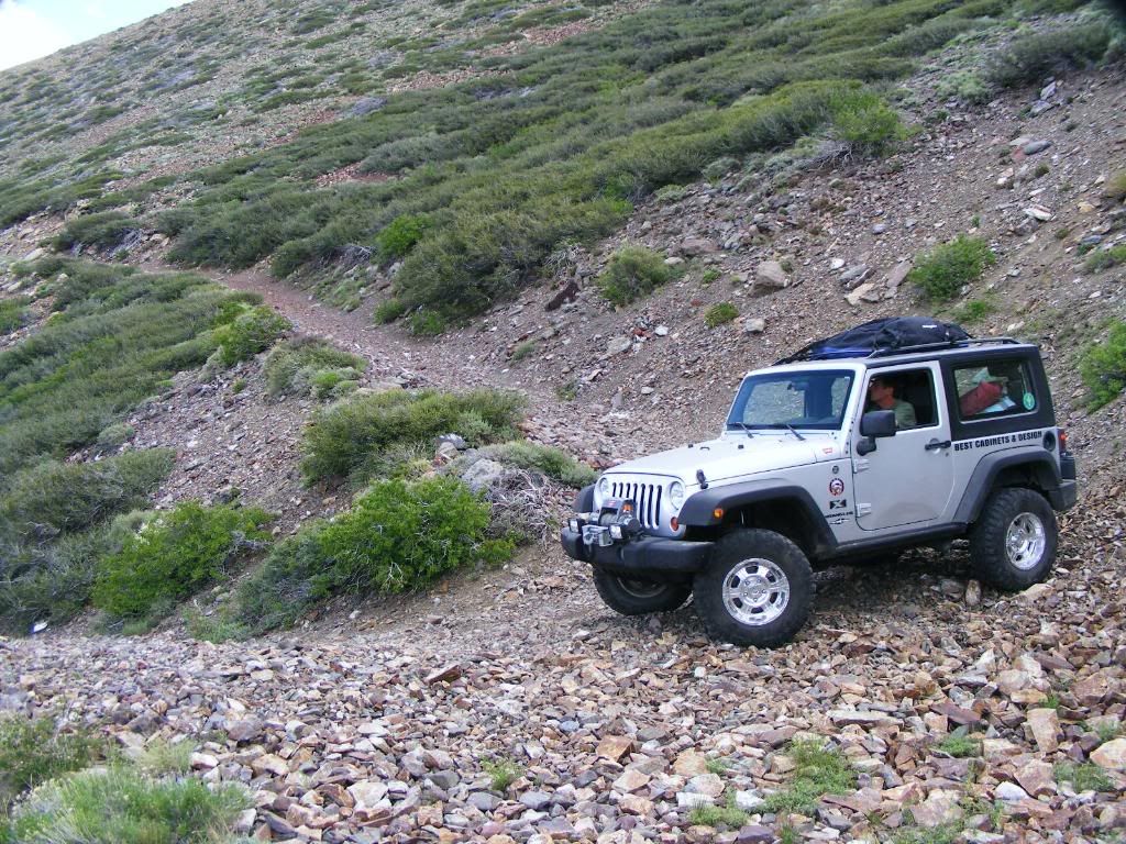
          [COLOR="Blue"]All these trails can be done in a high clearance SUV (4x4). Including McGee Peak. But you MUST turn around at the vandalized satalite dish switchback.

          MK[/COLOR]
          McGee Mtn is on of the trails I haven't driven yet. Do you have coordinates where you have to turn around or could you provide a GE placemark? Why do you have to turn around? Wilderness boundary, trail become too step and narrow?

          Comment


          • #20
            Originally posted by karstic View Post
            McGee Mtn is on of the trails I haven't driven yet. Do you have coordinates where you have to turn around or could you provide a GE placemark? Why do you have to turn around? Wilderness boundary, trail become too step and narrow?
            OK I'm a dork I just reread the first post and answered the second part of my question, but could you pnpoint on GE where you turned around. Thanks.

            Comment


            • #21
              Mike,

              That looks awesome! I loved the slideshows!

              I need to go there once I get fuel injection on the Scrambler. At those altitudes I'll pass out from the fumes with the way it is now. It's the next think on my list.

              Thanks for sharing that.

              Christian
              "People demand freedom of speech to make up for the freedom of thought which they avoid." - Soren Aabye Kierkegaard (1813-1855)

              Comment


              • #22
                Originally posted by karstic View Post
                OK I'm a dork I just reread the first post and answered the second part of my question, but could you pnpoint on GE where you turned around. Thanks.
                [COLOR="Blue"]The trail goes way up on top of the mountain, but you need a motorcycle or quad to complete the trail.
                mk[/COLOR]

                Comment


                • #23
                  explains my comment to. by the pic it looks like you just came from that bike trail... i was like DANG....
                  1st batch TJ bought August of 96. Locked and Loaded!

                  Comment


                  • #24
                    Originally posted by brokenujoint View Post
                    explains my comment to. by the pic it looks like you just came from that bike trail... i was like DANG....
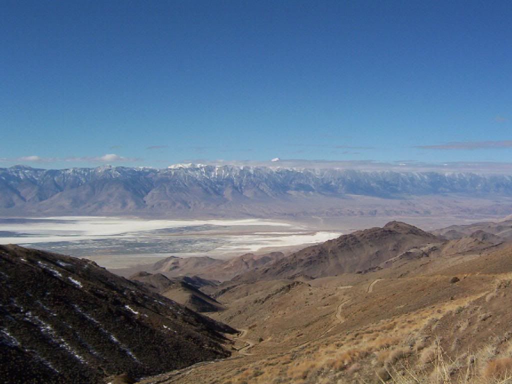
                    [COLOR="Blue"]On GE you will see a faint trail go off the side downhill, it goes to a weather device, the next turn is the turnaround point. There is an abandoned satalite dish in the turn out. It shows as a white spot on Google Earth. At this point you have gained at least 2000ft in elevation from the bottom of the trail.

                    BTW on GE check out the picture of the long bed quad cab Ford the slid off the trail...you probably wouldn't want to take a full size quad cab on this trail.[/COLOR]

                    Last edited by mkjeepers; 07-05-09, 09:23 AM.

                    Comment


                    • #25
                      Originally posted by great88 View Post
                      Mike,

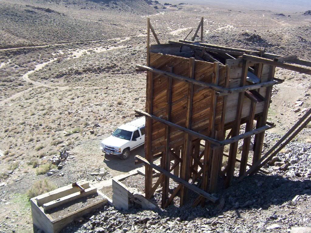
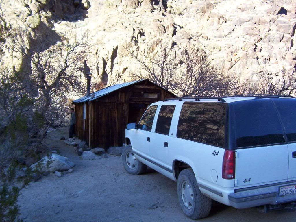
                      Looks like a great trip. You beat me to the Reward Mine! That has been on my list for a long time. Besides the main adit that you can drive into, there are a dozen other tunnels in the immediate area. I've been kicking around an over nighter to Lone Pine just to drive that mine. Deadmans Grade looks like the kind of trail that Chuck, Kurt, and Mike go searching for!

                      Roger: ah... ah.... ah...... no.

                      Mitch
                      If anyone wants to plan a weekend trip there i'm in. Looks like a great trip.

                      Comment


                      • #26
                        Originally posted by TJ Clay View Post
                        If anyone wants to plan a weekend trip there i'm in. Looks like a great trip.
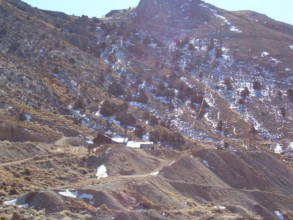
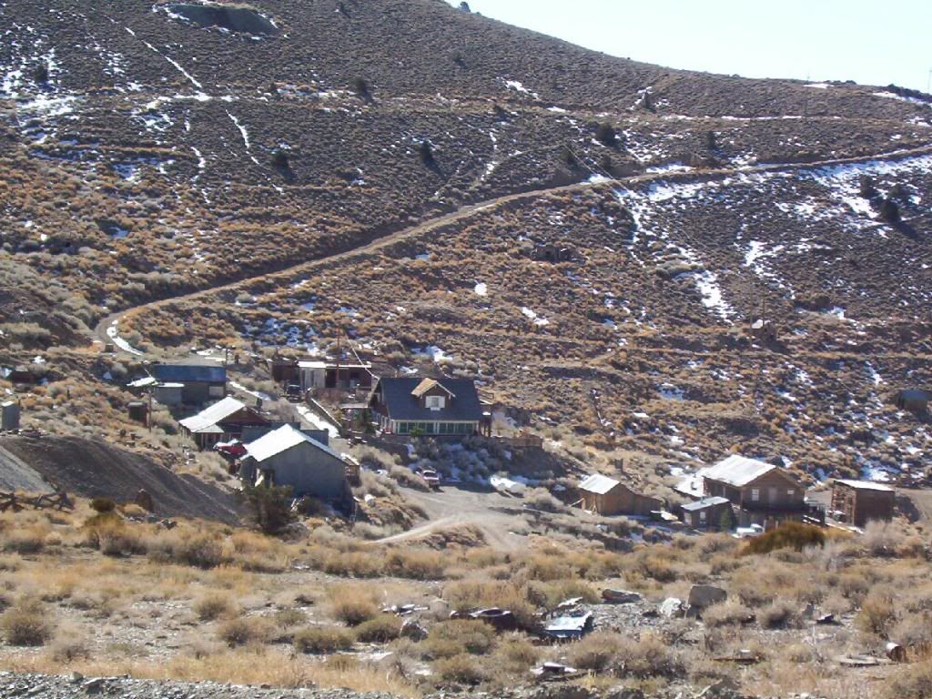
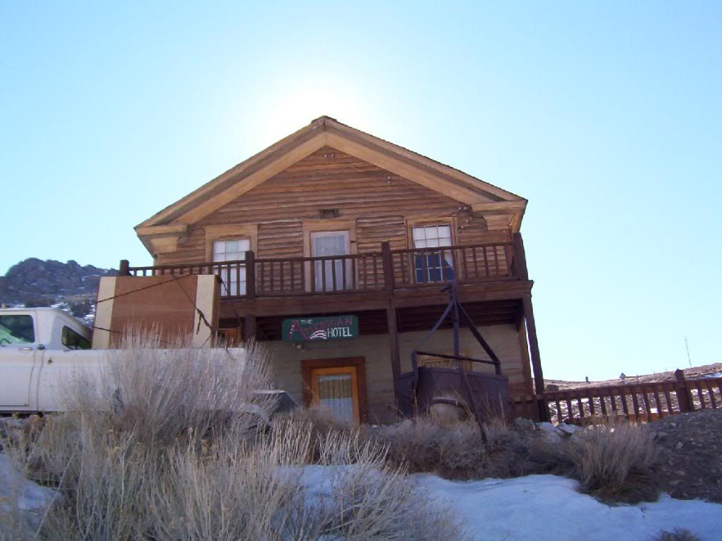
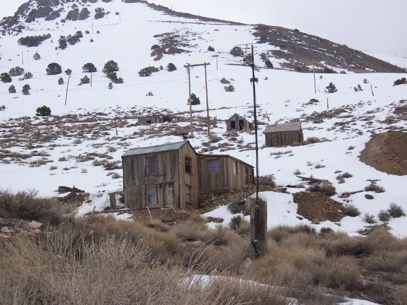
                        [COLOR="Blue"]You know another great trail would be to go up the Cerro Gordo loop. It goes up from Lone Pine area up to Cerro Gordo, an active mining camp above 9000ft. Then back down the mountain to Keeler or the other side to Saline Valley Rd and Darwin. Just a thought.
                        mk [/COLOR]

                        Comment


                        • #27
                          Here is their link:

                          http://www.cerrogordo.us/

                          My Jeep club used to do an annual trip there, but I never made it. Work always got in the way. One of these days I will make it. They always came back with enjoyable stories.
                          Rich

                          Comment


                          • #28
                            [COLOR="Blue"]While on the subject of mines....here are a few from the Cerro Gordo trip awhile back.[/COLOR]

                            Alabama Hills mine


                            Keelers gas station


                            You don't need reservations to drive through


                            Cerro Gordo mine site


                            Looking down from CG mine


                            Darwins only gas station


                            Darwin Falls, Dawin Canyon


                            Newmans Cabin in Golar Wash. Panimint Mts.


                            There are more mines in these areas then gopher holes.
                            Last edited by mkjeepers; 07-06-09, 07:06 PM.

                            Comment


                            • #29
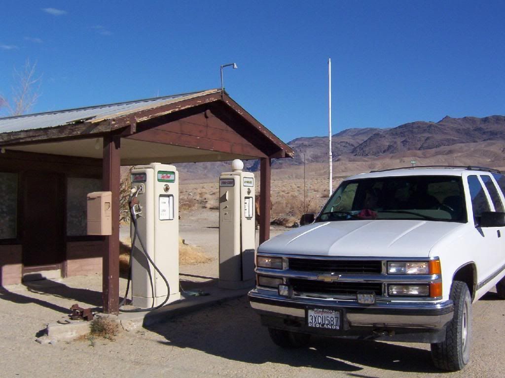
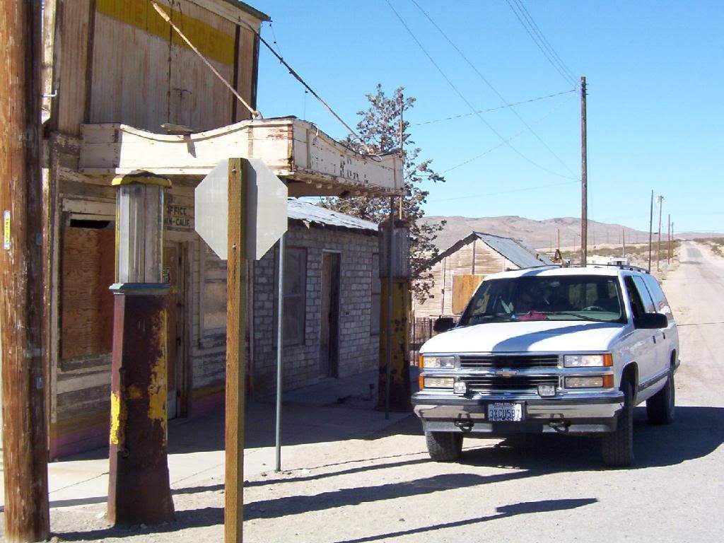
                              The whole area around Cerro Gordo is beautiful. Lone Pine, Olancha, Darwin. I have been though there a few times on dual sport runs. That town has some great history. Just outside Darwin is a canyon riddled with mines.
                              I would love to go back in the Jeep.


                              Check out .

                              Comment


                              • #30
                                I would be up for a trip. Camping & exploring are my middle name!

                                Comment

                                Working...
                                X