 Tweet
Tweet
Lake Isabella - Part One
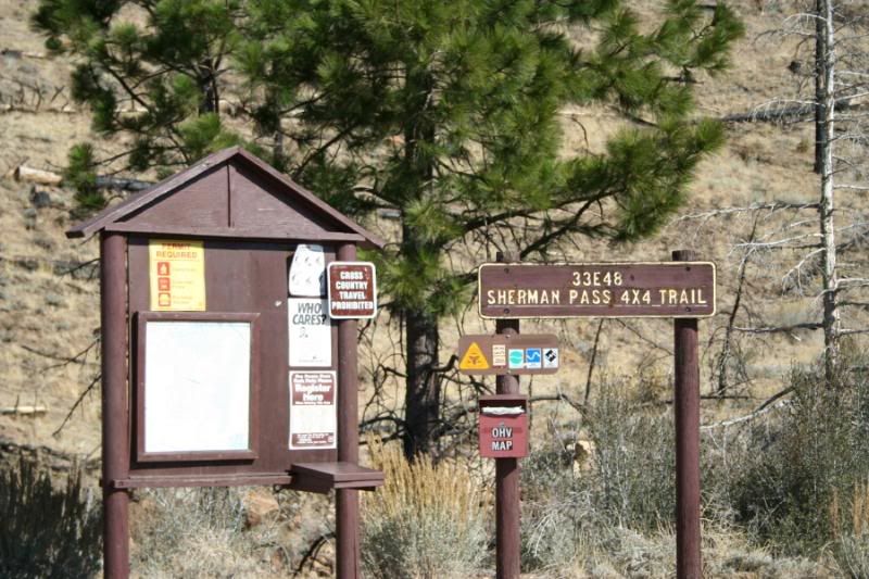
SHERMAN PASS TRAIL (33E48)
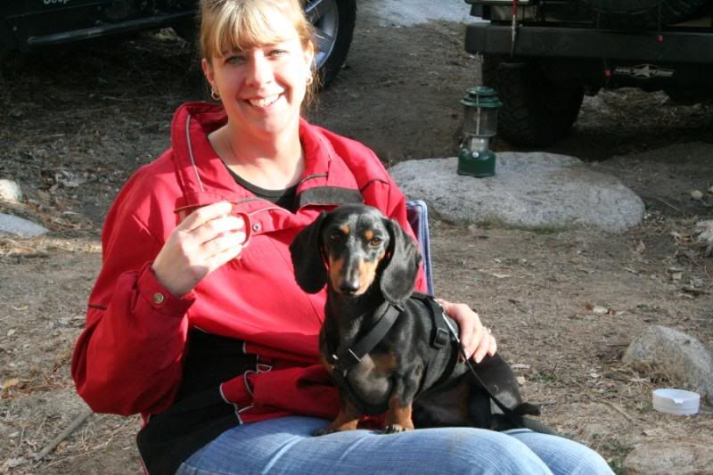
Okay, talk about last minute... I was planning to work both Saturday and Sunday this weekend and have been planning this for two weeks. At 12:30 on Friday, the decision is made to wait one more weekend. I suddenly have two days with nothing scheduled. So I contact Schmo and Rat Patrol to see if Sharon and I could join them on the "Last Minute" run to Lake Isabella!
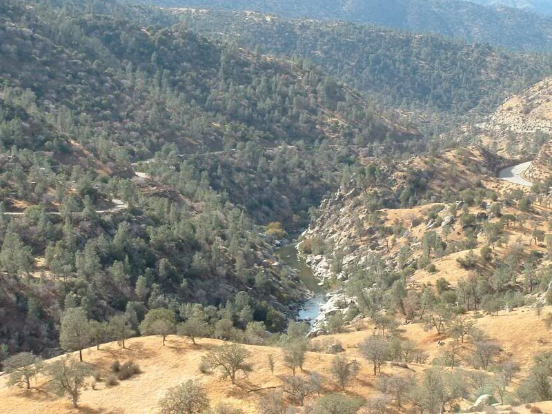
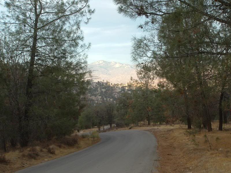
We met in the town of Lake Isabella on Saturday Morning. We got gas and headed up the Kern River to the Sherman Pass Road. The drive to the trailhead was beautiful. It's worth the drive even if you don't go on the trail!
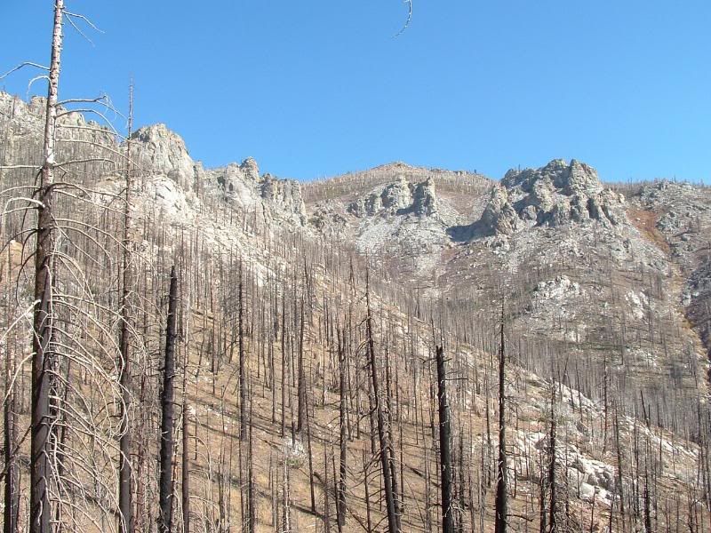
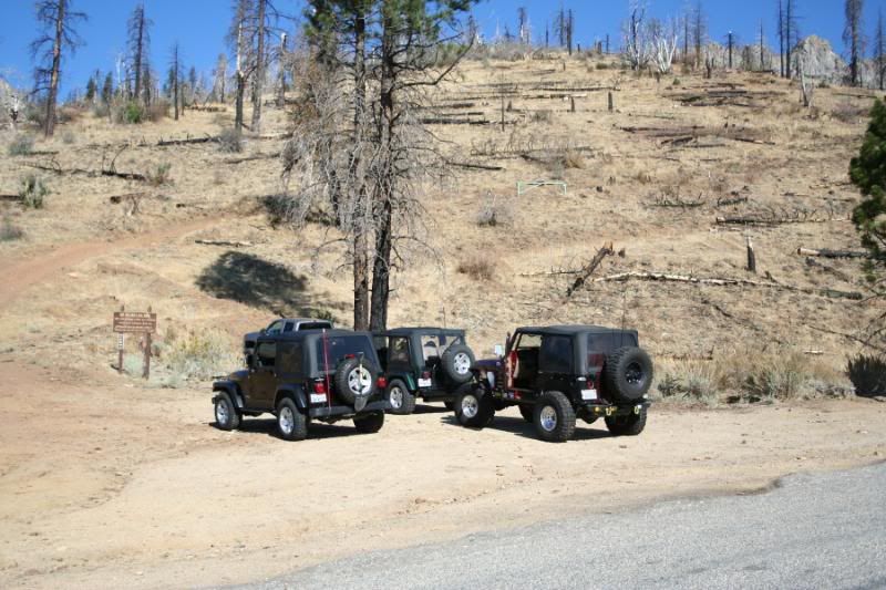
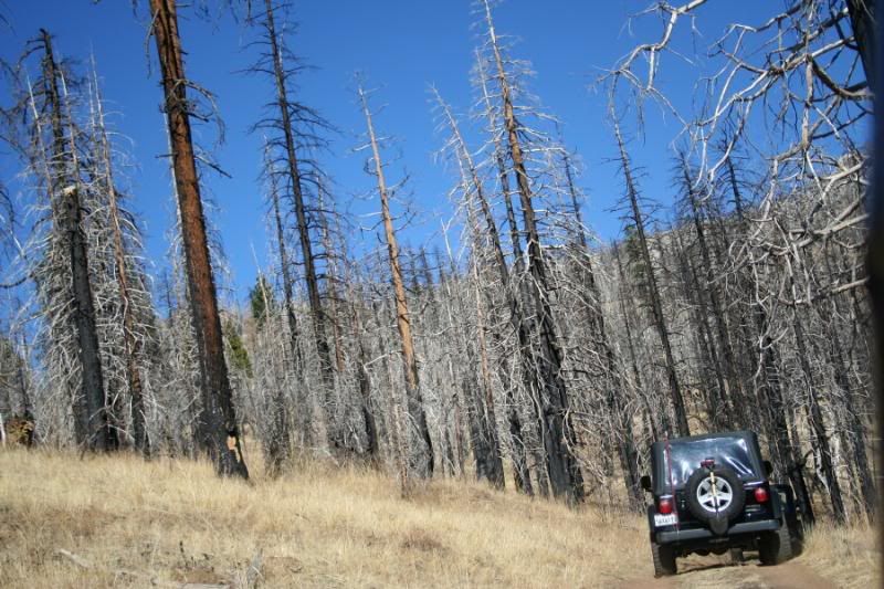
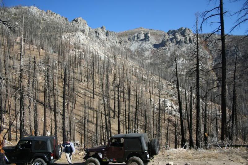
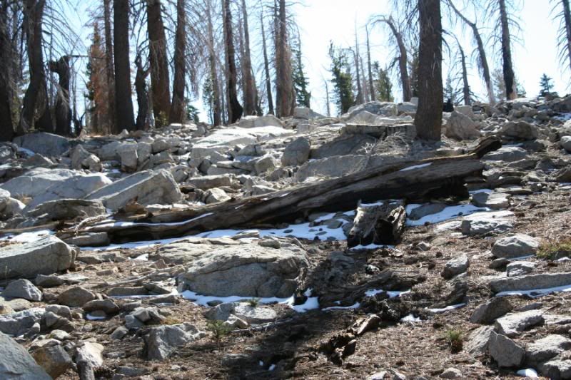
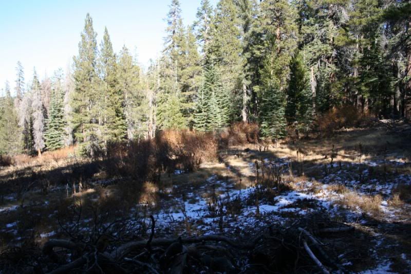
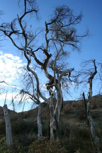
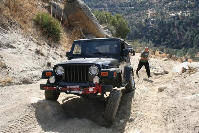
The Trail starts as a long ridge climb. The area burned in 2002 or 2003 and has still not recovered from this. Even so, the mountains still hold their beauty even in the bleak forest:
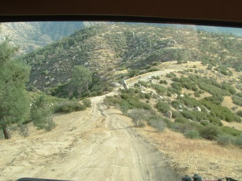
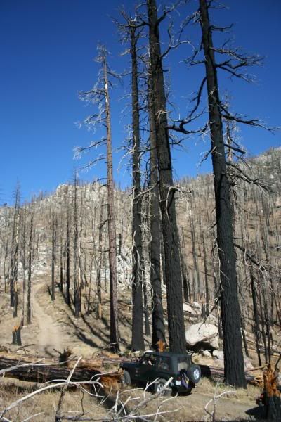
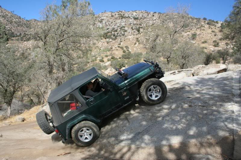
The climb is steep in places and long:

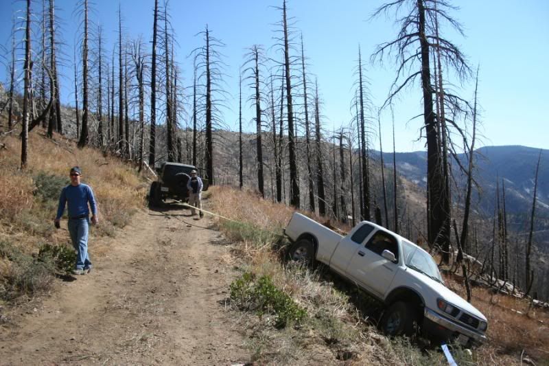
This is a 16.5 mile trail and the only folks that we encountered were a couple of Toyota Pickups coming down the initial climb that we were going up. In trying to pass each other, one of the trucks got off into deep, soft dirt and couldn't get out. All attempts caused him to slide further down the mountain. We quickly got him strapped and pulled back onto the trail:

We evenually got to a gentler climb. Kurt found a log to play on beside the trail:

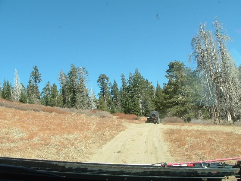
Eventually, we got to the edge of the burned area:
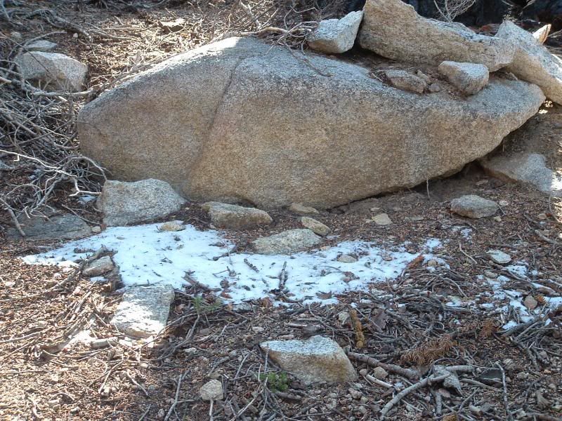
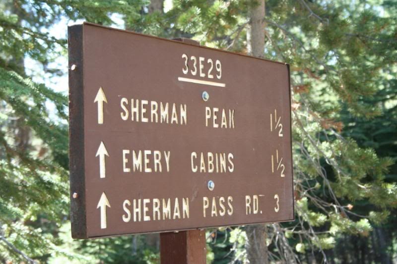
Soon into the unburned forest, we found a side trail to the top of Sherman Peak. We climbed to 9900 feet and along the way we found SNOW! This was just a small spot, I hope Rat Patrol has pics of the large areas that we found and drove through:
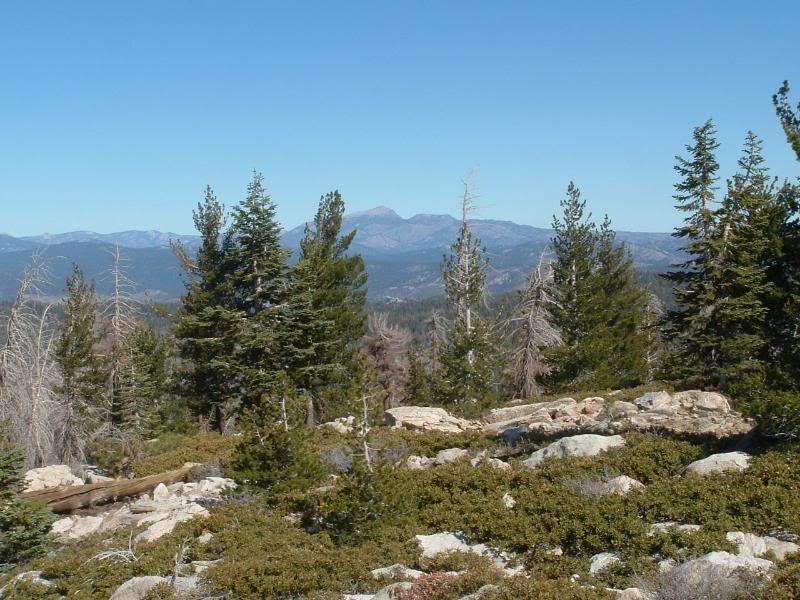
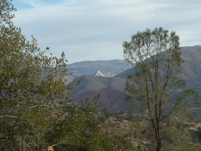
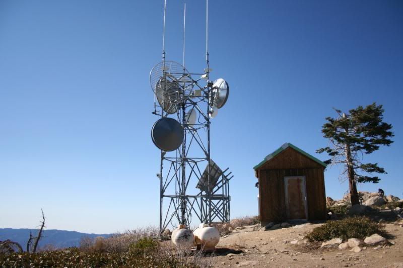
The views from the top of Sherman Peak were wonderful. This is just one:
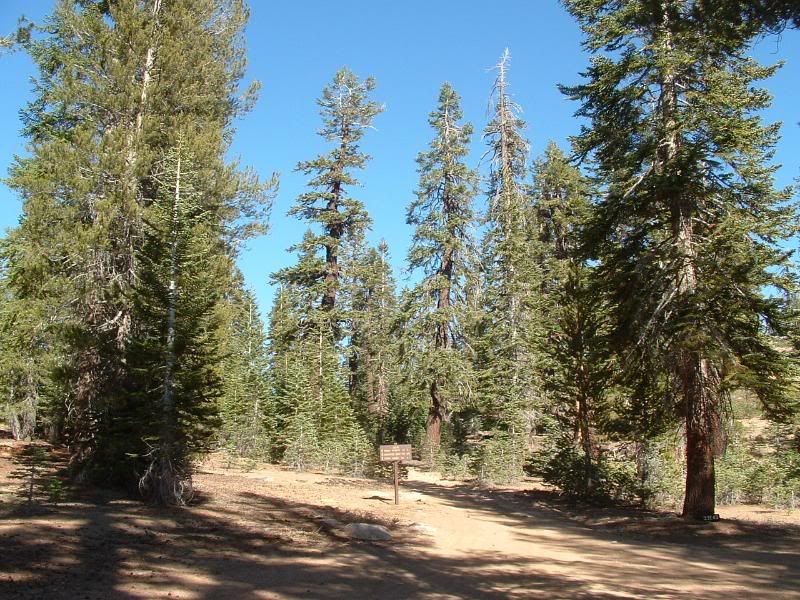
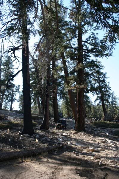
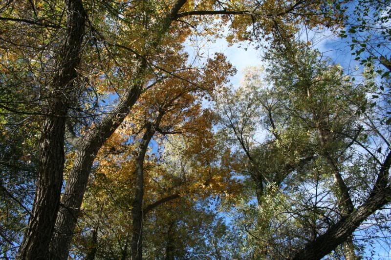
It was bitter cold on top of the peak, so after signing the Geo Cache that we accidently found at the peak, we headed back down to North Meadow to have lunch. The meadow was beautifully forested:
We followed the trail through some tight spots through the trees and found a few rock crawling areas. The best was a rocky hill that we went down one way and then climbed back up another. Rat Patrol found out that the ground was loose and soft beneath the rocks:

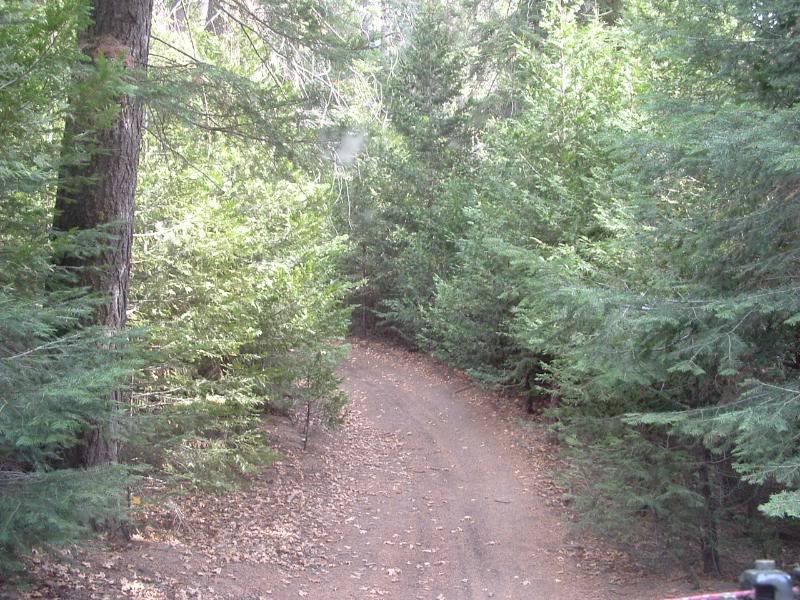
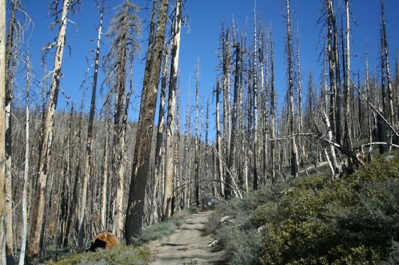
We came back down the hill and wandered through a fantastic forest:

All-in-all, Sherman Pass is not that difficult of a trail. But it is a beautiful, long trail through some very scenic areas. If our trip was any example, it is not traveled heavily. I truly look forward to the next time that I can drive this trail!
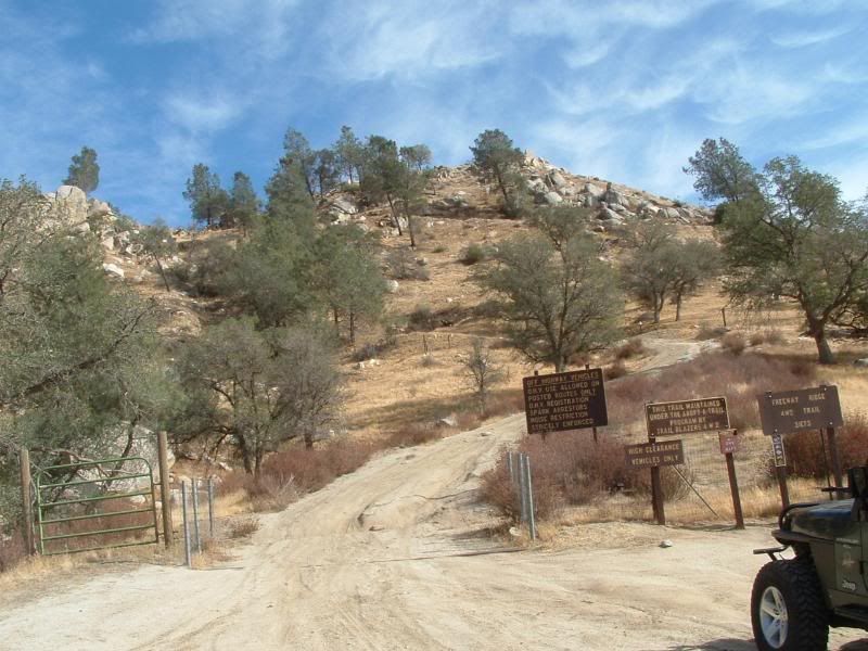
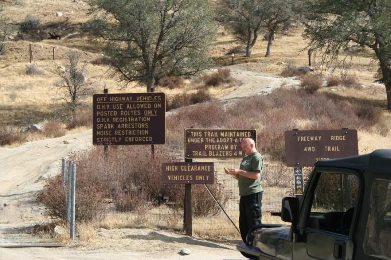
Additionally, it was a true relief to see this sign on the way to the trail:
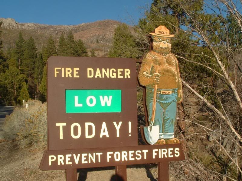
I haven't seen one of those in a LONG time. The coolest part of finding that sign is that it meant that we could have a campfire in our camp that night!
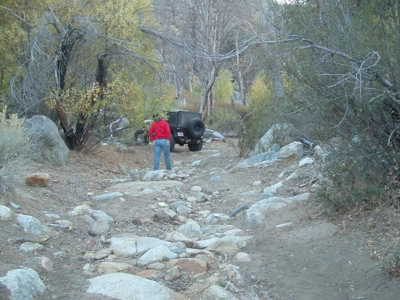
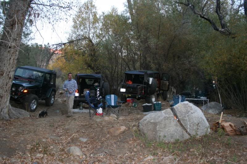
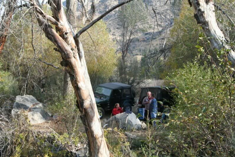
Joe found a great camp site on the way back down from the trail. The entrance to the camp had a forbidding look to it:
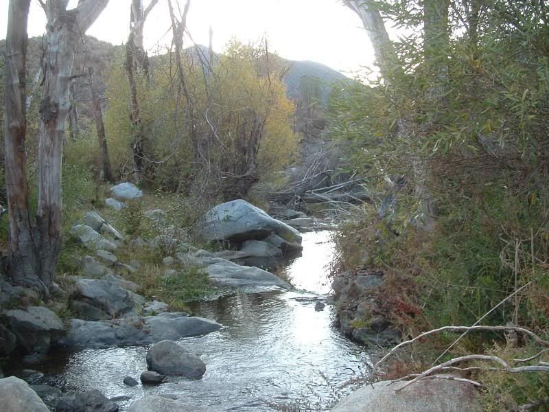
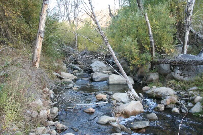
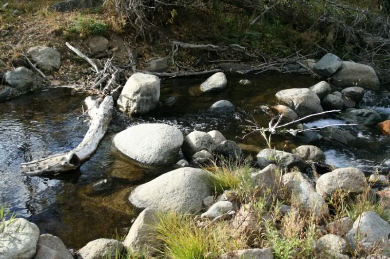
But the site was awesome! It had a stream next to it:
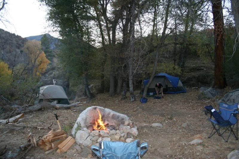
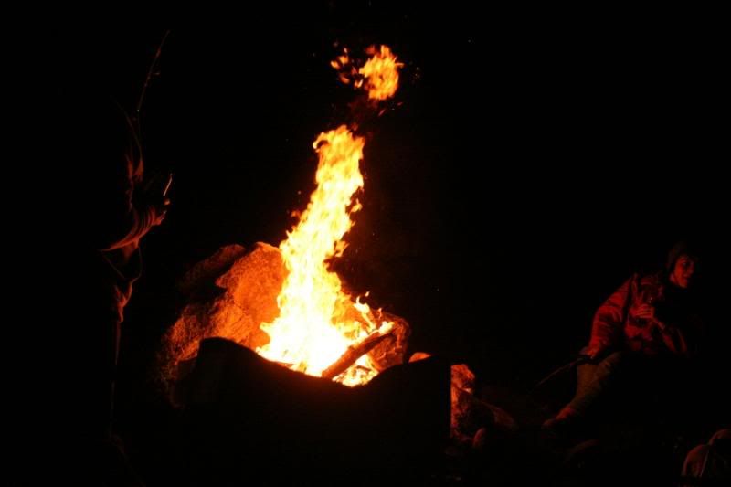
...and it had a nice fire ring already set up:
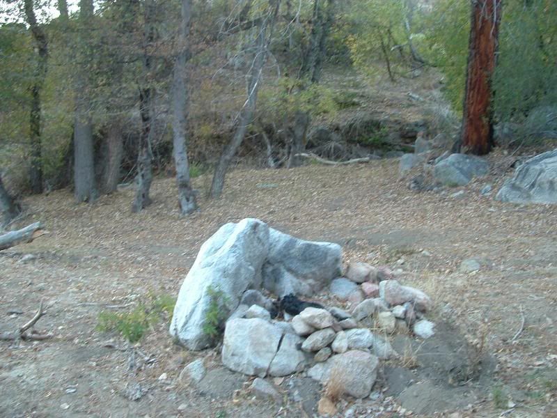
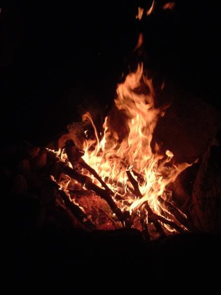
So that plus the Low to Moderate fire Danger rating in the area, equaled a CAMPFIRE in the camp that night (a REAL treat in the Southern California area right now!):
All of my photos for Sherman Pass can be seen at this link:
http://s139.photobucket.com/albums/q...-3-07/?start=0
SHERMAN PASS TRAIL (33E48)
Okay, talk about last minute... I was planning to work both Saturday and Sunday this weekend and have been planning this for two weeks. At 12:30 on Friday, the decision is made to wait one more weekend. I suddenly have two days with nothing scheduled. So I contact Schmo and Rat Patrol to see if Sharon and I could join them on the "Last Minute" run to Lake Isabella!
We met in the town of Lake Isabella on Saturday Morning. We got gas and headed up the Kern River to the Sherman Pass Road. The drive to the trailhead was beautiful. It's worth the drive even if you don't go on the trail!
The Trail starts as a long ridge climb. The area burned in 2002 or 2003 and has still not recovered from this. Even so, the mountains still hold their beauty even in the bleak forest:
The climb is steep in places and long:
This is a 16.5 mile trail and the only folks that we encountered were a couple of Toyota Pickups coming down the initial climb that we were going up. In trying to pass each other, one of the trucks got off into deep, soft dirt and couldn't get out. All attempts caused him to slide further down the mountain. We quickly got him strapped and pulled back onto the trail:
We evenually got to a gentler climb. Kurt found a log to play on beside the trail:
Eventually, we got to the edge of the burned area:
Soon into the unburned forest, we found a side trail to the top of Sherman Peak. We climbed to 9900 feet and along the way we found SNOW! This was just a small spot, I hope Rat Patrol has pics of the large areas that we found and drove through:
The views from the top of Sherman Peak were wonderful. This is just one:
It was bitter cold on top of the peak, so after signing the Geo Cache that we accidently found at the peak, we headed back down to North Meadow to have lunch. The meadow was beautifully forested:
We followed the trail through some tight spots through the trees and found a few rock crawling areas. The best was a rocky hill that we went down one way and then climbed back up another. Rat Patrol found out that the ground was loose and soft beneath the rocks:
We came back down the hill and wandered through a fantastic forest:
All-in-all, Sherman Pass is not that difficult of a trail. But it is a beautiful, long trail through some very scenic areas. If our trip was any example, it is not traveled heavily. I truly look forward to the next time that I can drive this trail!
Additionally, it was a true relief to see this sign on the way to the trail:
I haven't seen one of those in a LONG time. The coolest part of finding that sign is that it meant that we could have a campfire in our camp that night!
Joe found a great camp site on the way back down from the trail. The entrance to the camp had a forbidding look to it:
But the site was awesome! It had a stream next to it:
...and it had a nice fire ring already set up:
So that plus the Low to Moderate fire Danger rating in the area, equaled a CAMPFIRE in the camp that night (a REAL treat in the Southern California area right now!):
All of my photos for Sherman Pass can be seen at this link:
http://s139.photobucket.com/albums/q...-3-07/?start=0


 I wish I had a camara, but damn I don't think between Kurt,Mike, and Sharon a single photo op was missed. I was getting pretty bummed hearing about some of my favorite trails being closed, but this weekend sure lessened the blow. For me, these trails were the perfect blend . . . never really a dull part of the trail as the easier sections were just breath taking and the moderate and difficult sections kept your attention and made things very interesting at times. If I were rating the trail, I would call it moderately difficult based on what I've seen . . . a bit tougher than Miller, but not as tough as John Bull . . . Lot's of rutted, rocky, and/or loose dirt climbs, but I don't recall any real rock gardens like you'd see on Holcomb. We all made it thru both days and a ton of offroad miles without any problems or even bad hang ups. If any of you haven't been up there, I'd totally recommend it and if you are going and don't mind some company, post up a thread as I'd like to get back up there soon . . . Perfect weekend wheeling/camping trip as both trails are rather lengthy and there are a ton of trails out there to explore . . . a bit far for a day trip although Freeway Ridge is really only 2 hours and 15 mins from my house . . . give another 45 to an hour to get to Sherman Pass. Would be a cool place for a big MJR Rally . . . hint, hint!!! Hope to see you all out there some day.
Comment