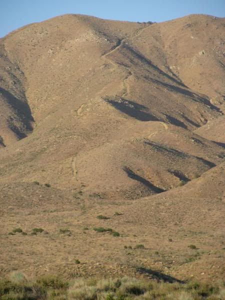
Rest In Peace Hill is on BLM land just on the edge of Hesperia, CA. From Hwy 173, it looks like this:

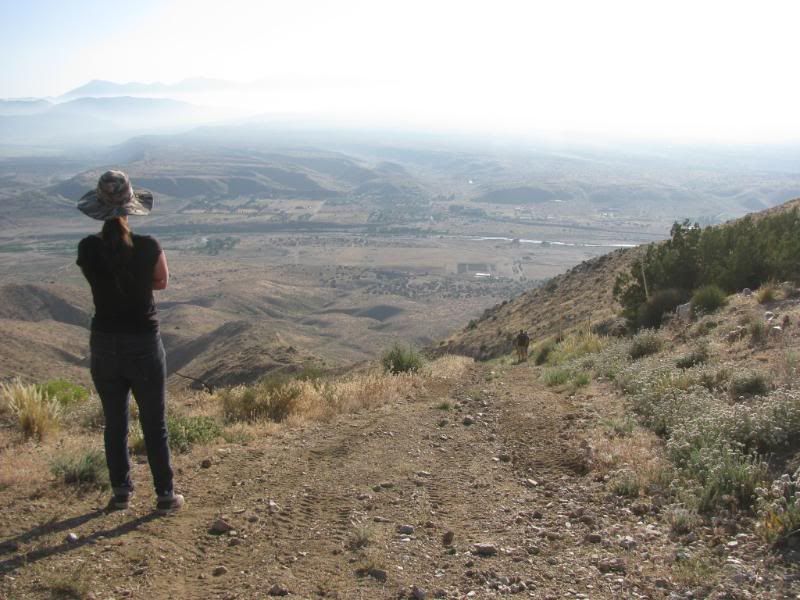
The trail is easier going downhill, but the view from the top will make you pause far longer than the view from the bottom:

The trail is 2.2 miles long from the top to Hwy 173. Additional travel will be needed to get to or from the top of the trail.
Very low gears are recommended. The road is steep and very narrow with little or no room for error. Rock crawling is minimal but there is one obstacle that will require high clearance. Very high shelf and ridge road for the majority of the drive.
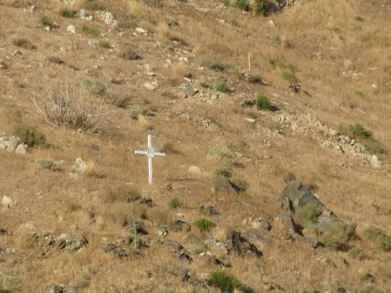
The trail is named for the life that it claimed:

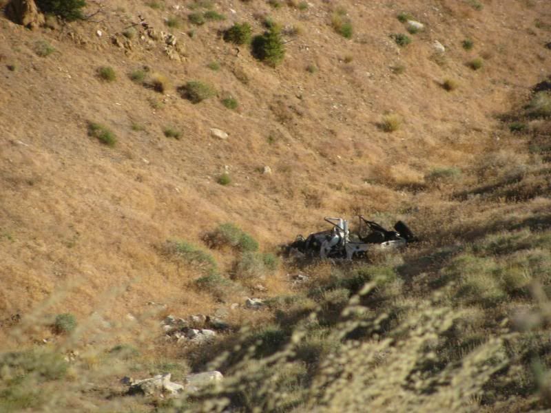
The Land Cruiser is still there, wadded up in the canyon near the top:

This is my first .gpx posting so please let me know if you have any issues with the file.

The trail is easier going downhill, but the view from the top will make you pause far longer than the view from the bottom:

The trail is 2.2 miles long from the top to Hwy 173. Additional travel will be needed to get to or from the top of the trail.
Very low gears are recommended. The road is steep and very narrow with little or no room for error. Rock crawling is minimal but there is one obstacle that will require high clearance. Very high shelf and ridge road for the majority of the drive.
The trail is named for the life that it claimed:

The Land Cruiser is still there, wadded up in the canyon near the top:

This is my first .gpx posting so please let me know if you have any issues with the file.
Comment