Announcement

Collapse
No announcement yet.

Anza Borrego/Coyote Canyon

Collapse

Forum Thread First Post

Collapse
X
 
  • Filter
  • Time
  • Show
Clear All
new posts

  • Anza Borrego/Coyote Canyon

    Yes, not the trail I remembered. Coyote Canyon trail decends Anza Ridge along a shelf road known as the Turkey Grade, a rough road cut by the Civilian Conservation Corps in 1933. This used to be the major difficulty encountered along the trail. Towards the bottom, the ruts were large enough to easily leave a Jeep on it's side if care was not taken. But no more. Yes, Horse Canyon did indeed make up for it.

    Coyote Canyon is a wide, deep canyon along the San Jacinto Fault, one the major branches of the San Andreas Fault. It seperates the Santa Rosa Mountains to the north from the San Ysidro Mountains to the south. Juan Bautista de Anza opened up the first European route through this area in 1774.

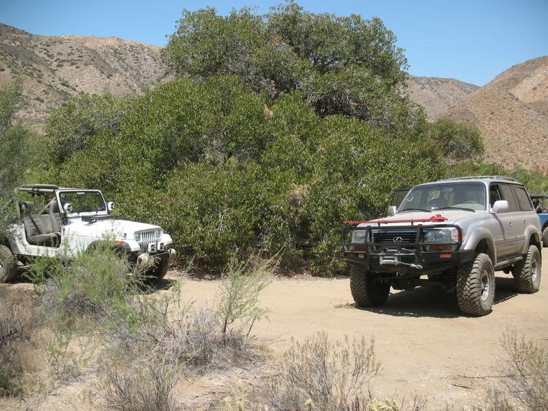
    Lunch in Adler Canyon. Also a good spot to camp.


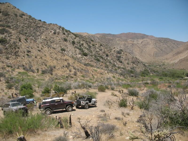
    End of Adler Canyon.


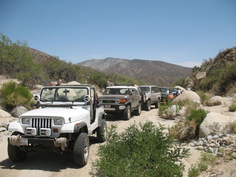
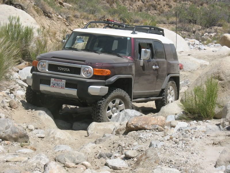
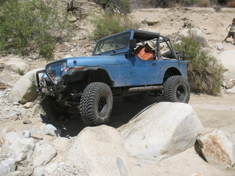
    Lined up and ready to take on Horse Canyon!


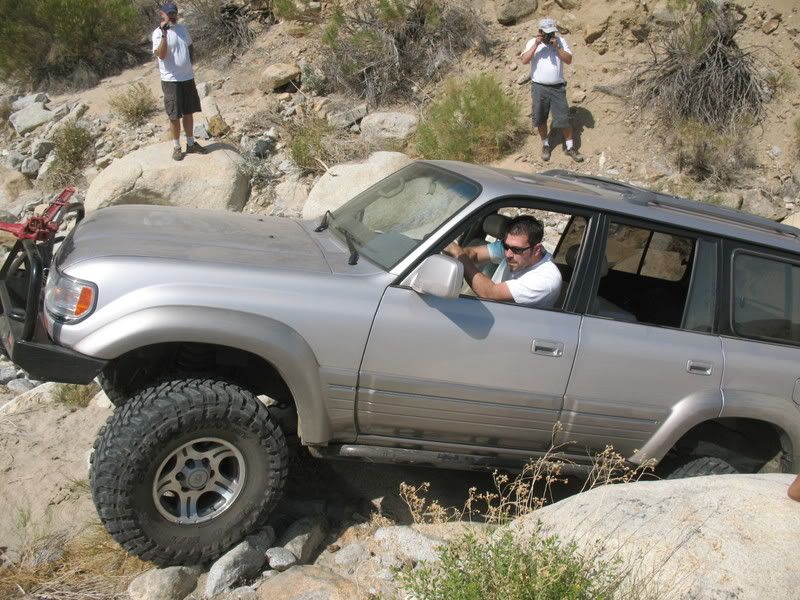
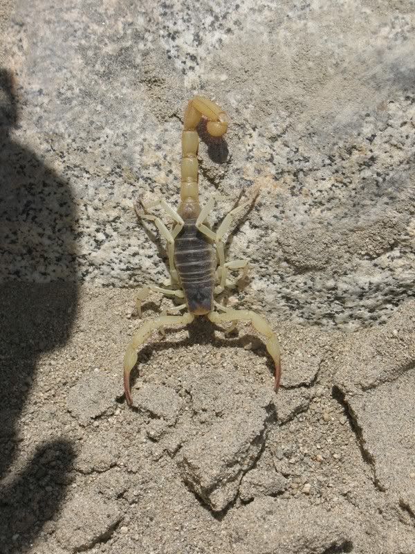
    Danger along the trail!!!
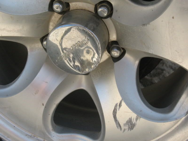

    And damage.


    Awesome trip! We'll have to do it again later this year.

  • #2
    Nice run! Great pics....getting warm out there, is it not?
    We ran Coyote last weekend to upper willows...moderate trail at the worse condition we found. Sheep Canyon back up there. I hope one day they see fit to open it up to run through to Anza, now that would be nice.
    "If you have significant difficulty here, dont go any further....it only gets worse".
    (Charles Wells)

    Comment


    • #3
      Great Pics! Looks like a good run.
      [COLOR=#ff8c00]MYJEEP(crawls)ROCKS(again).com

      I have finally stopped drinking for good.
      Now I drink for evil..... :devil:
      [/COLOR]

      Comment


      • #4
        Originally posted by Mtbikbob View Post
        Nice run! Great pics....getting warm out there, is it not?
        We ran Coyote last weekend to upper willows...moderate trail at the worse condition we found. Sheep Canyon back up there. I hope one day they see fit to open it up to run through to Anza, now that would be nice.
        The weather was very nice, not too hot at all. I guess that area would be considered high desert. It would have been much warmer for us if we had gone up through Borrego Springs to Lower Coyote Canyon. Yeah, going all the way through like they were able to do back in the day would be great! When the canyon opens up again in october, I'd like to run it after a good rain so we'd have some water crossings to go along with it.

        Comment


        • #5
          Great pics! The scop is a good sign too. GOod luck when you find them...
          Love the high desert! Thanks for the report.
          [CENTER][COLOR=#ff0000]Resistance Off Road
          [/COLOR]Join the Resistance...
          http://www.resistanceoffroad.us[/CENTER]

          Comment

          Working...
          X