 Tweet
Tweet
Total Mileage: 22 miles
Driving Time: 3.5 hours
Elevation Range: 2000-5700 feet
Rating: Easy
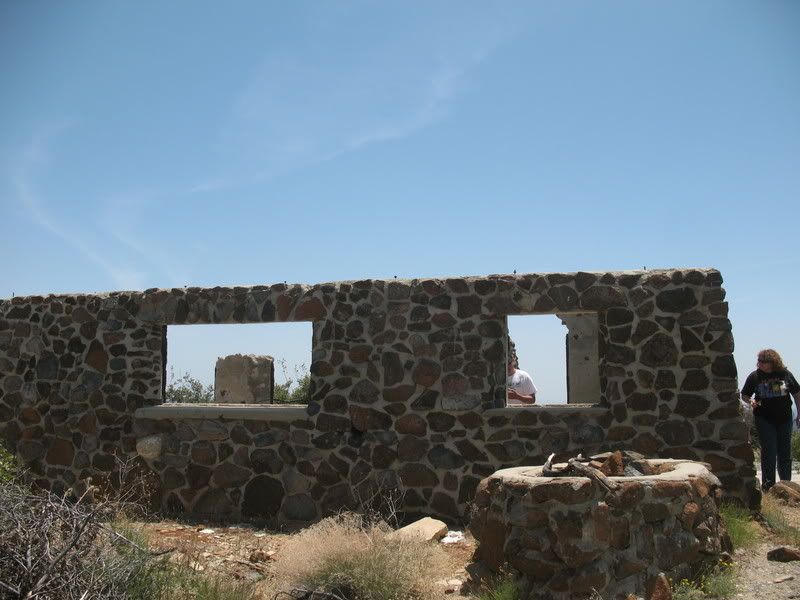
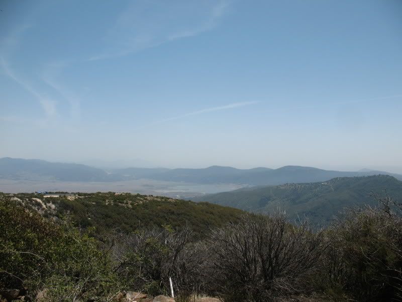
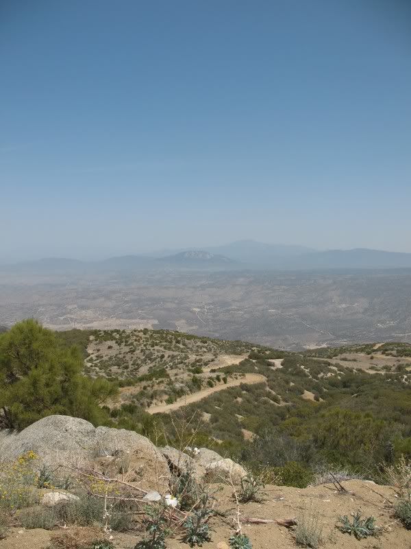
An easy, scenic day trip. The trail leaves CA 79, 0.4 miles east of the intersection with CA 371. It initially appears to be a private entrance to a RV resort. However, the dirt road heads off to the south entering the Cleveland National Forest. The trail starts to climb along a well-used shelf road, steadily increasing elevation. Views are spectacular in all directions as it undulates along the ridges of Palomar Mountain and Aguanga Mountain. It travels mainly through chaparral as it gradually descends to rejoin CA 79.

Driving Time: 3.5 hours
Elevation Range: 2000-5700 feet
Rating: Easy
An easy, scenic day trip. The trail leaves CA 79, 0.4 miles east of the intersection with CA 371. It initially appears to be a private entrance to a RV resort. However, the dirt road heads off to the south entering the Cleveland National Forest. The trail starts to climb along a well-used shelf road, steadily increasing elevation. Views are spectacular in all directions as it undulates along the ridges of Palomar Mountain and Aguanga Mountain. It travels mainly through chaparral as it gradually descends to rejoin CA 79.
Comment