Announcement

Collapse
No announcement yet.

Rincon Shortcut

Collapse

Forum Thread First Post

Collapse
X
 
  • Filter
  • Time
  • Show
Clear All
new posts

  • Rincon Shortcut


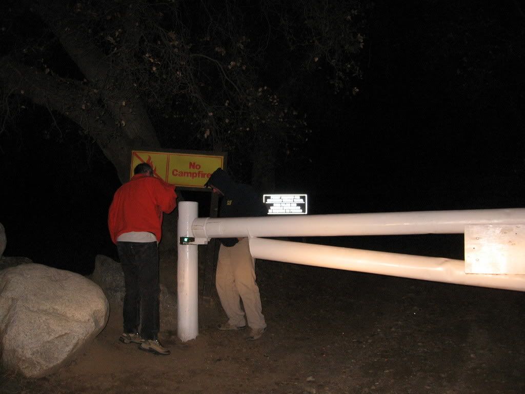
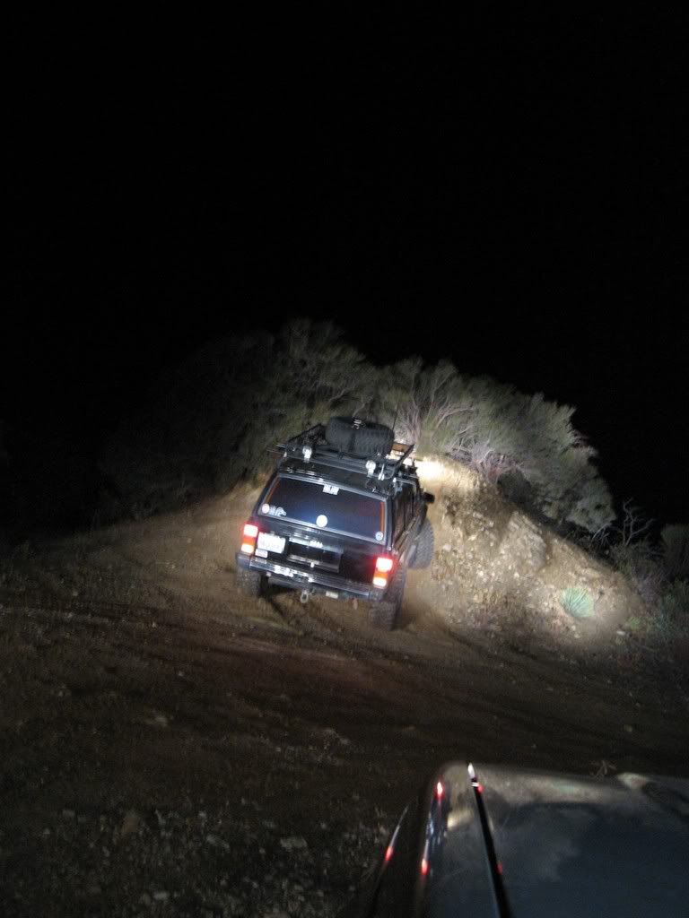
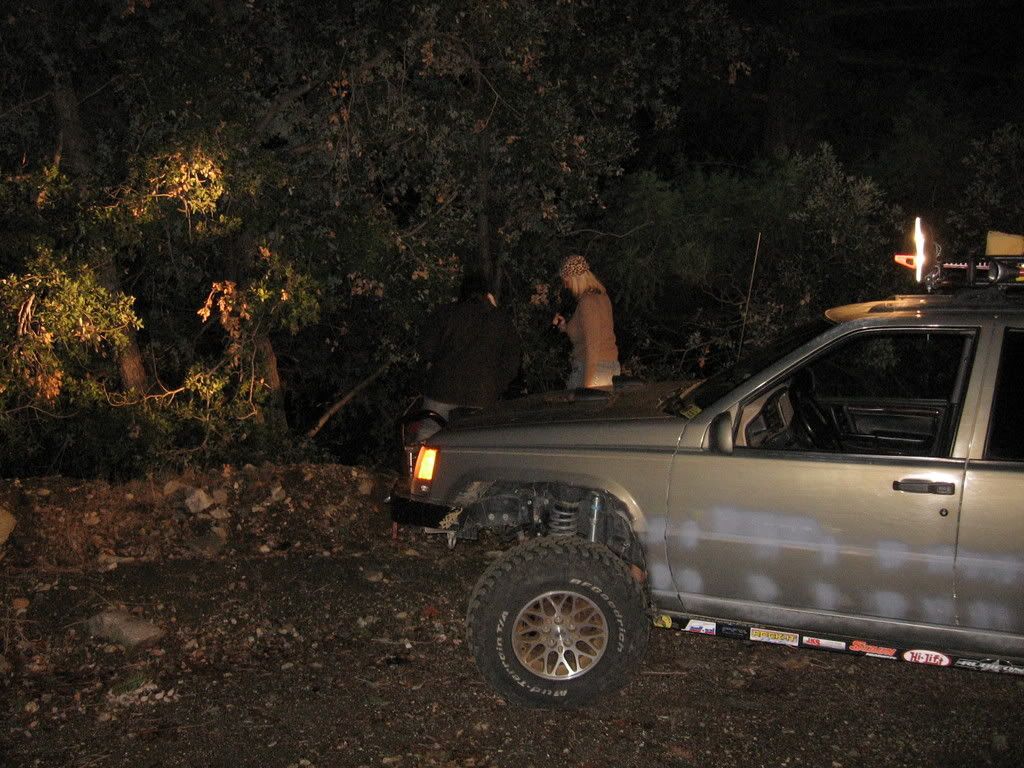
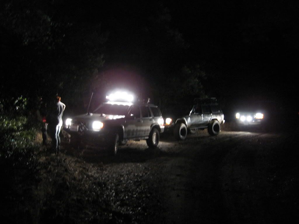
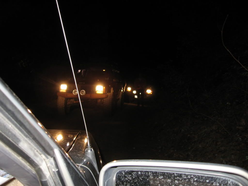
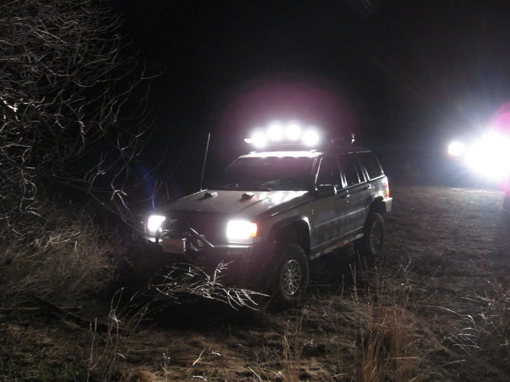
    Tracy and I met up with another Cherokee and a Bronco on Friday night at 7pm on Azusa Canyon at the entrance to the Rincon Shortcut. The gate is locked but you can get the combination and a permit from the Angeles National Forest at either the San Gabriel OHV Entrance Station on Highway 39 (weekends only) or the San Gabriel River Ranger District Office at 110 N. Wabash Ave. Glendora, CA 91741 (626) 335-1251. Temps were in the mid 50’s and there was a full moon.

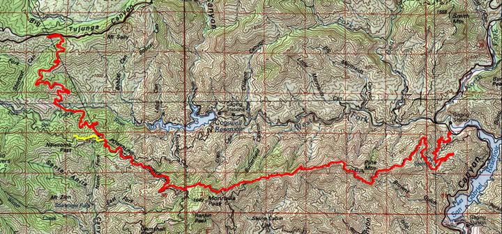
    The Rincon Shortcut climbs from 1600’ at the entrance to 4800’ at its highest elevation as it passes near Monrovia peak. It ends on Hwy 2 East of Mt Wilson at 4700’. Total length is 25 miles and it took us 2-½ hours to reach Hwy 2. Much of the trail runs ridges with outstanding views of the LA basin.

    Gate on Azusa Canyon
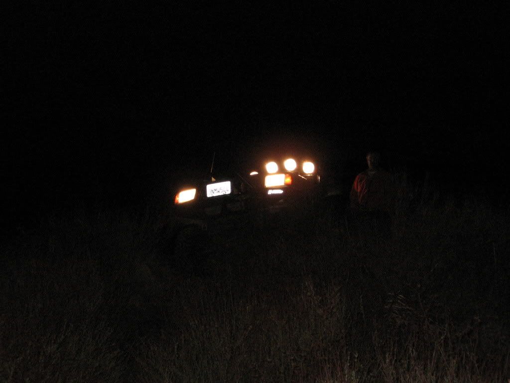
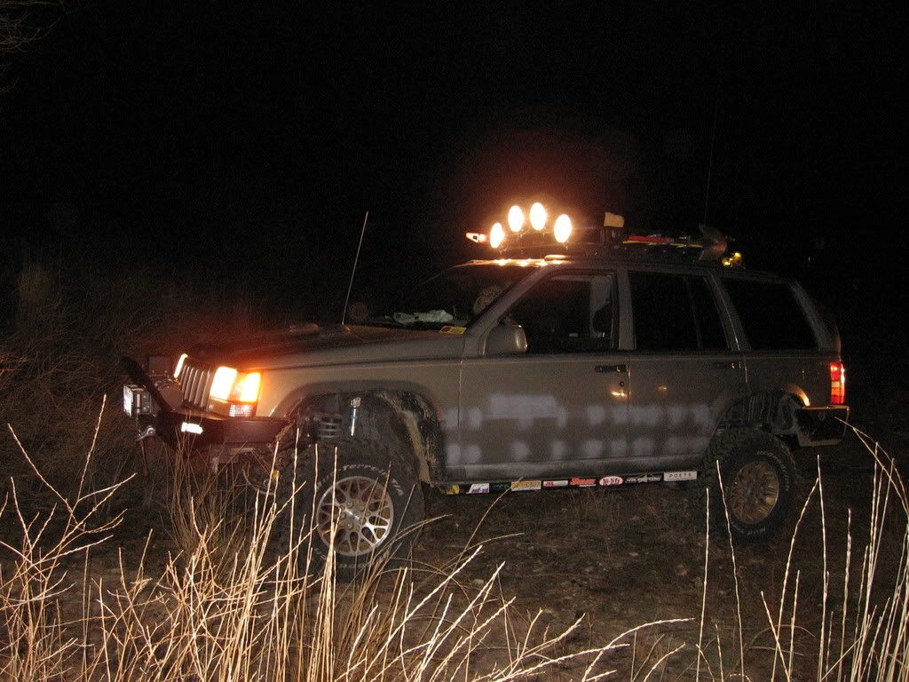

    Mother Ship


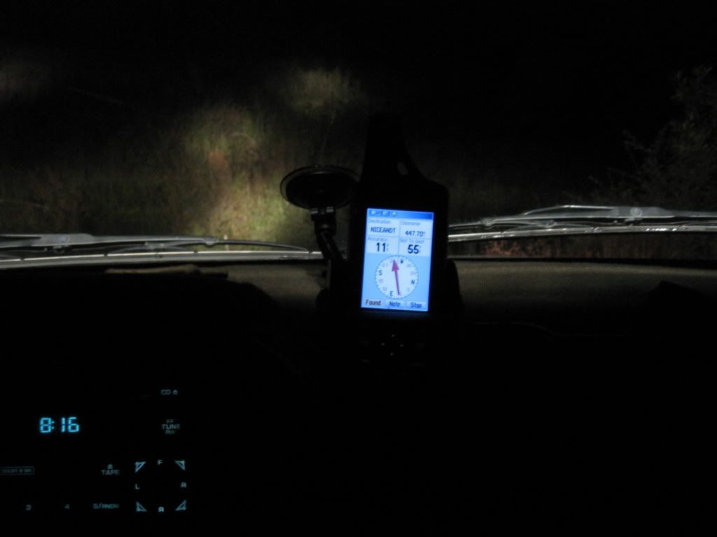
    Map60cs leads the way


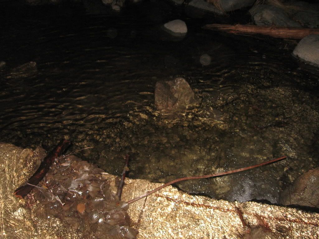
    Crossing West Fork San Gabriel River


    Last edited by FishPOET; 02-07-07, 11:16 AM. Reason: date was 2-2-07....more coffee needed
    Over 2500 hours donated to the San Bernardino National Forest. Life member of CA4WD, CORVA & BRC. Tread Lightly Trainer. Reforestation Supervisor. CASSP

  • #2
    Looks interesting. What's the road like? Fire road? Sounds like a fun day trip to check out different scenery. Work is keeping me too busy and once it's done, I will itching to get out and about.

    Comment


    • #3
      The first 15 miles is on 2N24 and it is a maintained fire road. The last 10 miles is on 2N23 it has some rocky sections (small rocks).
      Over 2500 hours donated to the San Bernardino National Forest. Life member of CA4WD, CORVA & BRC. Tread Lightly Trainer. Reforestation Supervisor. CASSP

      Comment


      • #4
        Cool Run! I bet it had awesome views of the city lights at night. I ran it in the daytime back in late May 06. I have some photos (imagine that ) for those of you interested.

        The Stream Crossing:


        Late May flowers along the last part of the trail:
        [COLOR=#ff8c00]MYJEEP(crawls)ROCKS(again).com

        I have finally stopped drinking for good.
        Now I drink for evil..... :devil:
        [/COLOR]

        Comment


        • #5
          This trail is in my back yard- I run it in reverse all the time. Most of the trailis just fire ride, however the climb from the river back to Highway 2 is a little bit harder. If you decide to do it, PLEASE don't leave any trash around or rip up the trail. This is one of the few decet trails left in Angeles and the FS continually makes rumblings about shutting it down. If you want to play when you are done, just pay the $8 at the Azusa Canyon OHV and have a great time ripping it up down there.

          Comment


          • #6
            It is in my backyard as well, let me know if anyone is running it again.
            bruce p - I sent you a PM a while back about getting together but not sure you got it. Let me know when you go out and wheel if you don't mind another TJ to tag along
            [COLOR="Blue"]If you don't have the time to do it right, what makes you think you'll have the time to do it twice?[/COLOR]

            Comment


            • #7
              Wow, what a beautiful trail!! Just furthers my want to live in the west...not good trails in the east >.<
              WTF Mate?

              Confucious Say: He who stand on toilet...is high on pot.

              ______
              [_____]
              (HllllllllH) vroom VROOM
              []--o---[]

              Comment


              • #8
                Glad to see it's open again Doug - I used to fax in for a permit about once every other month.
                Jeff
                OHV76V
                KG6TY
                You're just upset because the voices in my head only talk to ME!

                Comment

                Working...
                X