
Freeway Ridge trail (31E73) is in the Sequoia National Forest about 7 miles southwest of Lake Isabella, CA. It is found in the Charles Wells “Guide to Northern California Backroads and 4-Wheel Drive Trails (Trail #70) and is rated “most difficult”. Andrew Weber and his friend, Randy, who lives in Lake Isabella ran the trail with me on August 26, 2006.
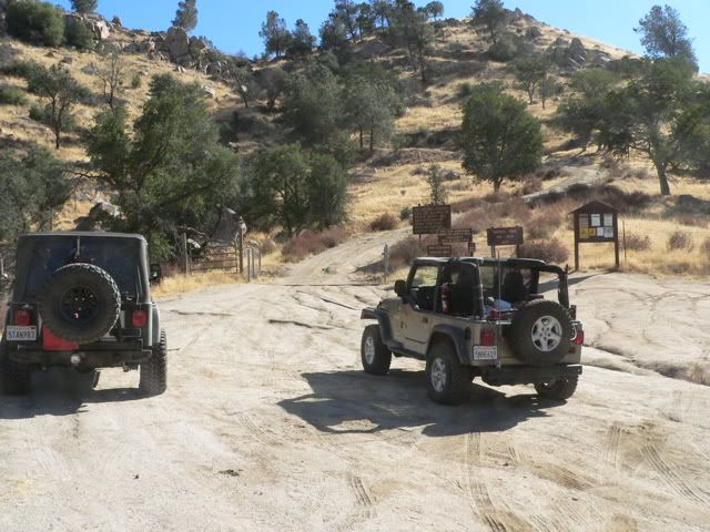
The trail begins at Highway 178 near mile marker 37. Andrew's silver Rubi Unlimited is on the left; my khaki TJ is on the right
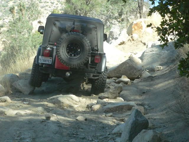
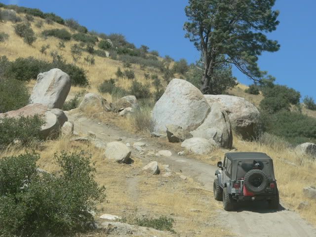
The first part of the trail is rocky.
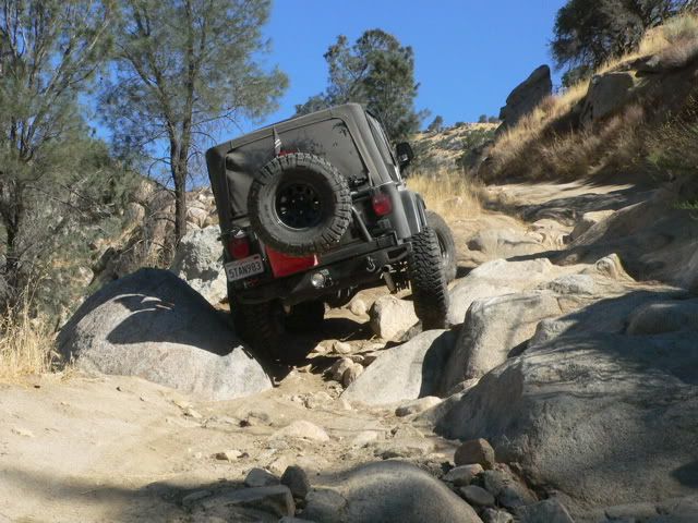
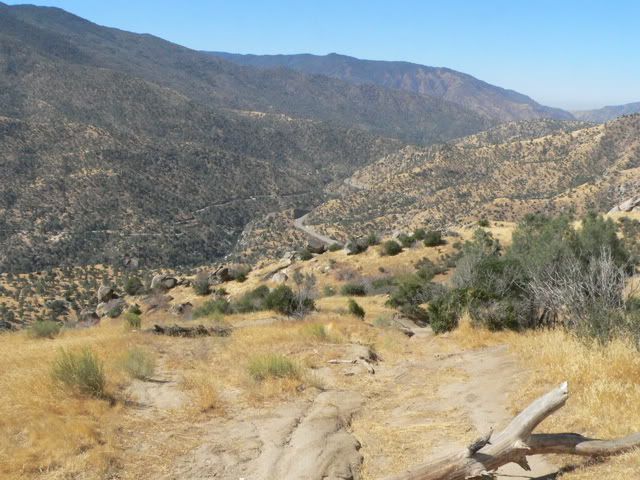
A nice view of the Kern River Canyon and Highway 178
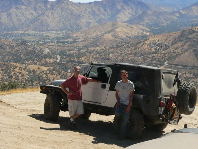
Randy (on the left) and Andrew next to Andrew’s Rubi Unlimited. This photo was taken at the junction of Freeway Ridge trail and Black Gulch trail (26S06).
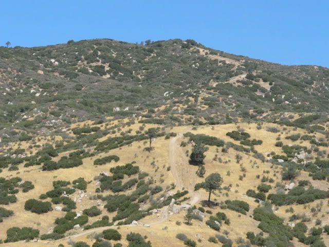
Wells’ book describes a loop using Black Gulch trail (26S06), Rancheria Road (25S15), then a descent DOWN 32E47 to return to the Black Gulch trail. Andrew and I though it would be more fun to drive UP the trail.
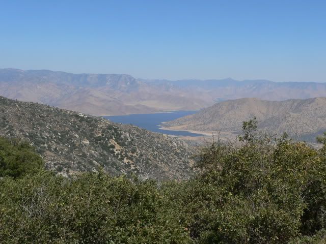
Lake Isabella
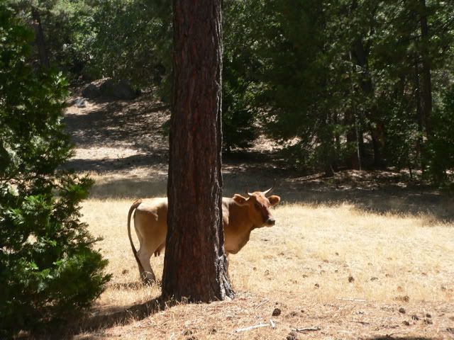
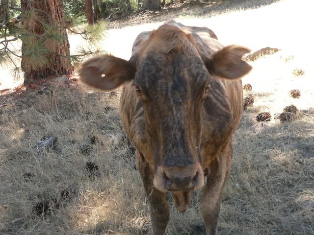
Some friendly earth creatures (Got Milk?)
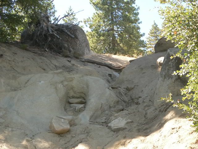
About two thirds of the way up the trail, there is a steep waterfall (there is a bypass to the left)
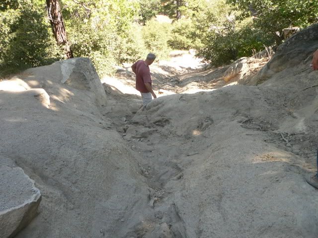
This is a view looking down the waterfall. After careful deliberation, we decided to take the bypass, and leave the waterfall until next time.
After the waterfall, the last obstacle is a steep hill with very soft, powdery soil. I managed to get stuck on the hill and Andrew had to winch me out. Unfortunately (or maybe fortunately) I didn’t get any pictures of my stuck. We returned to Lake Isabella via Rancheria Road and Highway 155.
We plan to run the trail again in about a month and we will invite our MJR friends to come along (and help me when I get stuck again)
Comment