 Tweet
Tweet
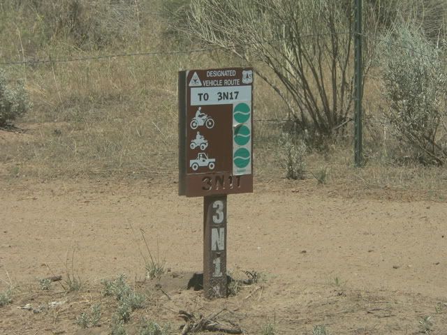
Anyone up for weekday wheeling on Tuesday, August 15? White Mountain trail (3N17) north of Big Bear?
-
If you don't like the way I drive, stay out of the bushes!
KI6MLU -
Meeting place
Where and what time are we going to meet. Looks like HWY 18 is the best way to the top since 330 is still closed and 38 looks to be a lot of extra driving. Your call Russ. -
Let's meet at the junction of Hwy 173 and Hwy 18 near Lake Arrowhead at 9:30 am tomorrow. We can run Dishpan Springs (3N34) then take 3N16 to Big Pine Flat, spend the rest of the day exploring the trails around South White Mountain (3N17, 3N93) and Wright Mine (3N11), then head down Grapevine Canyon (4N16) and return via Apple Valley. CB Ch 4. PM me if you need my cell phone number.If you don't like the way I drive, stay out of the bushes!
KI6MLUComment
-
Trip Report - Part 1
When I ran the White Mountains trail (3N17) earlier this summer, I was puzzled because my Garmin GPS showed a trail (3N93) that connected South Peak to Big Pine Flat, but I could not find it on the ground. This is the Garmin map that shows 3N93 running between South Peak and Big Pine Flat (#3 on the map). The trail also appears on the FS map, but there is a half mile gap just below South Peak.

1. Where we saw the Big Horn sheep
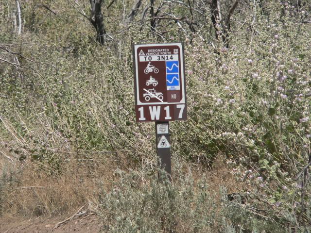
2. The motorcycle/ATV trail (1W17)
3. The other end of 1W17
4. Wright Mine Road
5. Road erosion
6. Junction with Grapevine Canyon Road
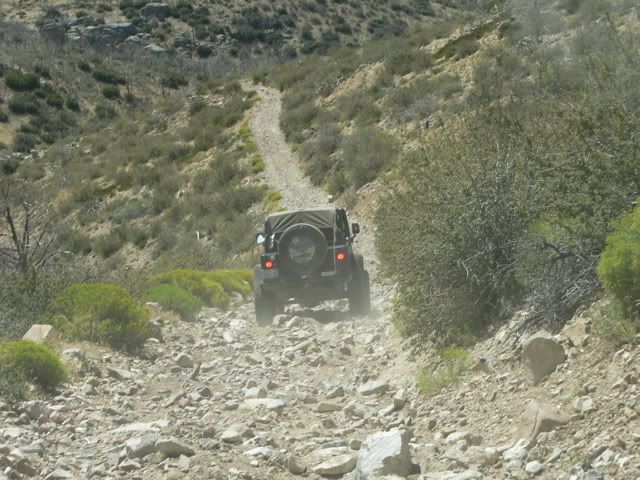
On Tuesday, August 15, 2006, George Kropp (TDS SD) and I returned to the White Mountains (approximately 10 miles northwest of Big Bear Lake) to explore the trails in the area and specifically to find 3N93. Because Highway 330 was closed due to road repairs, we decided to meet near Lake Arrowhead, take the Dishpan Springs trail (3N34) to Crab Flats, then proceed to the White Mountains from there.

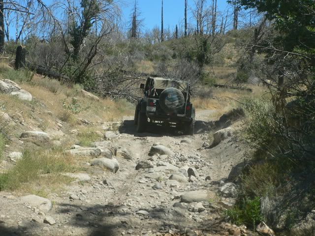
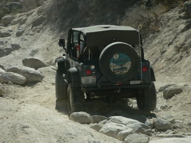
This is George�s blue YJ and my khaki TJ. We aired down after crossing the T6 bridge on the Dishpan Springs trail (3N34).
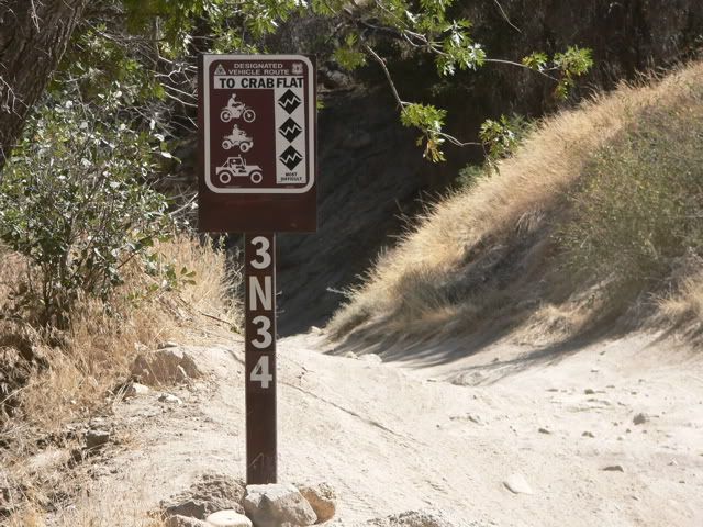
The Dishpan Springs trail (3N34) is a difficult, black diamond rated trail. It recently reopened after being closed for several years due to fire damage and repairs to the T6 crossing. The climb from Deep Creek to Crab Flats was uneventful. Unlike the heavy usage on weekends, we only saw one motorcycle on the trail.
 If you don't like the way I drive, stay out of the bushes!
KI6MLUComment
-
Trip Report, Part 2
After reaching Crab Flats we ate lunch and then continued on 3N16 to Big Pine Flat.
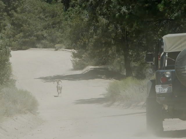
Enroute to Big Pine Flat, we spotted a Big Horn sheep on the road (#1 on the map).
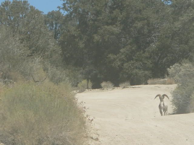
The sheep ran along the road ahead of us for more than a mile before deciding to escape from us by running up the hill.
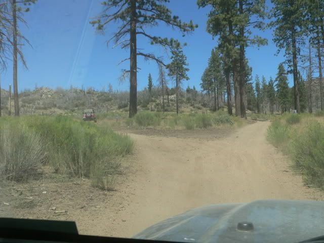
When we arrived at Big Pine Flat, we headed west on 3N14 in search of trails that would take us toward South Peak. The only trail we found that headed in the direction of the peak was 1W17, it starts at 3N14 about a half mile west of Big Pine Flat (item #2 on the map), but it is for motorcycles and ATVs only:
This is the 1W17 trail as seen through the trees.
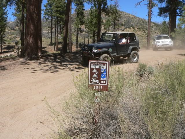
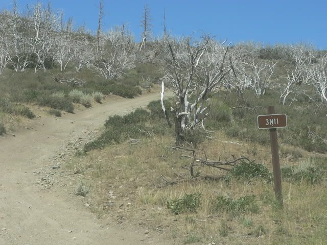
We returned to Big Pine Flat, continued east on 3N16 for about a tenth of a mile and then north on Wright Mine Road (3N11).
There is a fork in the road; the Garmin map shows that 3N93 can be reached via the left fork.

We took the left fork which is is designated as 3N92.
We drove the length of 3N92 (about a half mile), but we did not find 3N93. At the point that the GPS said that the trail should be, we found some flattened ground that was overgrown with brush; I believe that might have been the trail. 3N92 ends at an intersection with 1W17 (#3 on the map). To the south, 1W17 takes you back to 3N14.

To the north, 1W17 takes you to Wright Mine Road (3N11). Jeeps could not proceed on 1W17, so we turned around and returned to Wright Mine Road (3N11) on 3N92.If you don't like the way I drive, stay out of the bushes!
KI6MLUComment
-
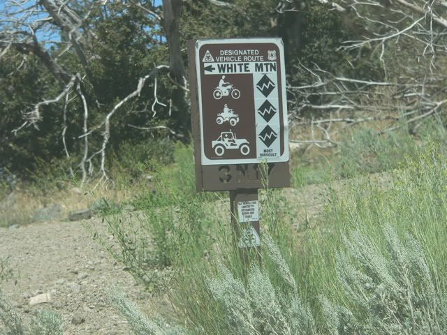
Trip Report, Part 3 - Wright Mine Road
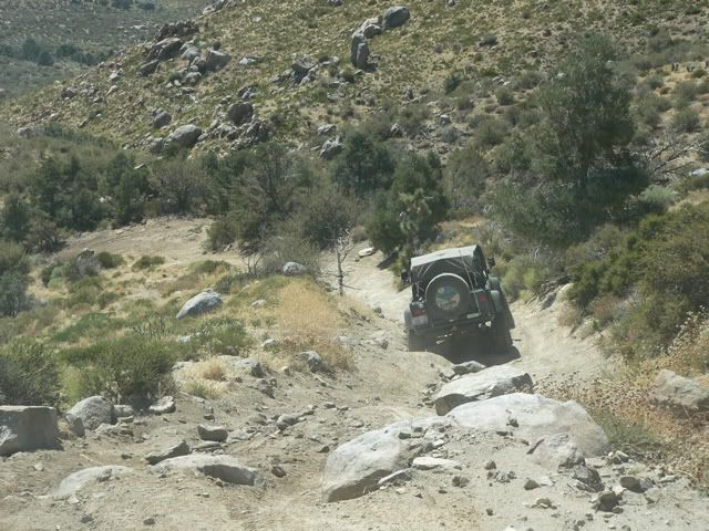
We returned to Wright Mine Road (3N11) and headed northeast toward the White Mountains. The road is easy and can be driven in two wheel drive.
After slightly over a mile, we reached the intersection of 3N17. We crossed 3N17 and continued northeast on Wright Mine Road.
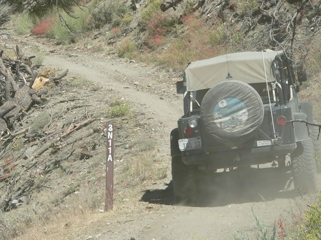
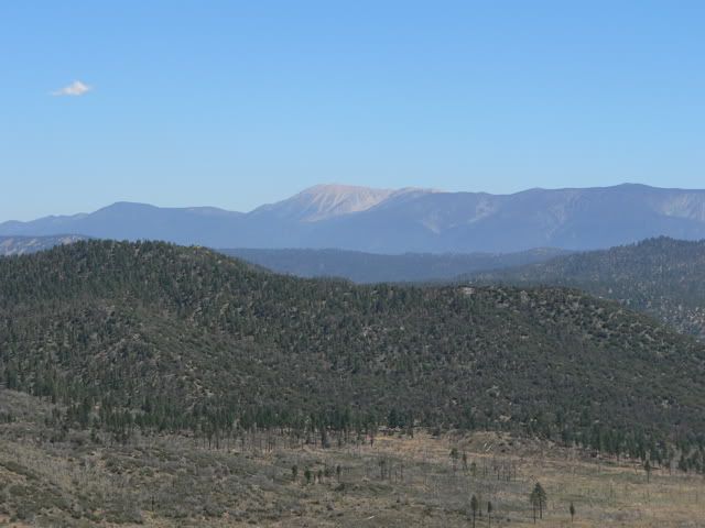
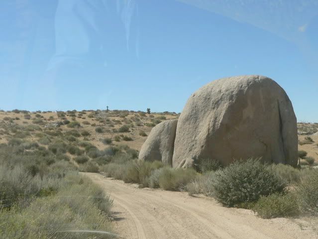
Wright Mine Road forks; we followed the right fork (3N11A) to its end about a mile past 3N17 and were treated to nice views of the Lucerne Valley:

 Last edited by Russ Chung; 08-16-06, 02:15 PM.If you don't like the way I drive, stay out of the bushes!
KI6MLUComment
-
Trip Report, Part 4 - White Mountains

We returned to 3N17, and proceeded northwest toward South Peak. The right fork is the difficult trail that leads to the summit; the left fork is the easier bypass.
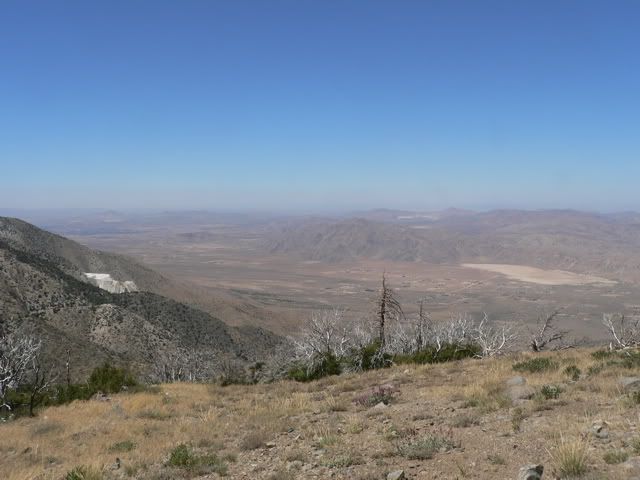
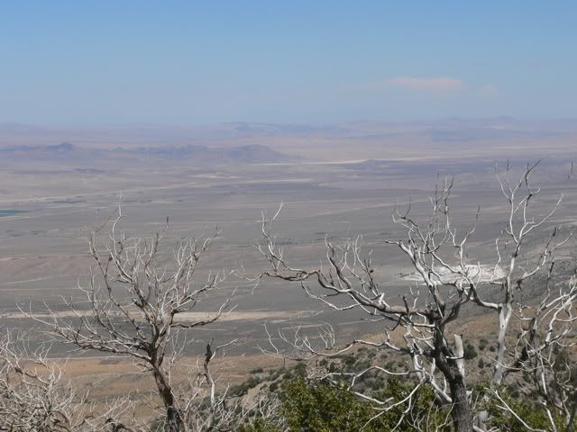
This is a view from South Peak toward the east
This is the view from South Peak toward the southeast.
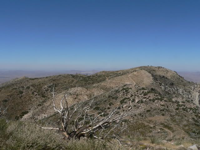
This is the view from South Peak toward the northwest.
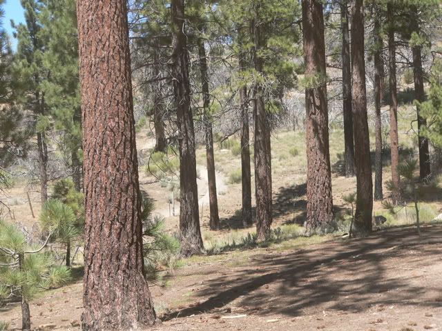
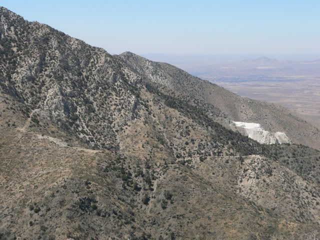
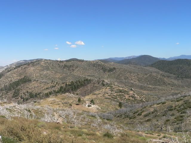
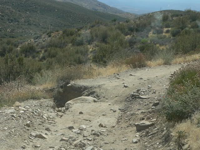
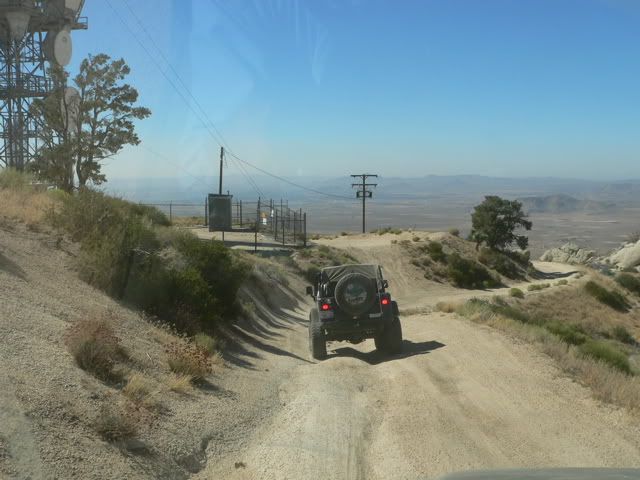
We continued along 3N17 toward the northwest and were treated to more views of the Lucerne Valley. This portion of the trail is in fairly good condition.
The northwestern portion of the trail (#5 on the map) is deeply eroded in places; if MJR adopts this trail, we should expect to do a lot of work repairing this section.
 Last edited by Russ Chung; 08-16-06, 02:32 PM.If you don't like the way I drive, stay out of the bushes!
KI6MLUComment
-
Trip Report, Part 5 - Grapevine Canyon

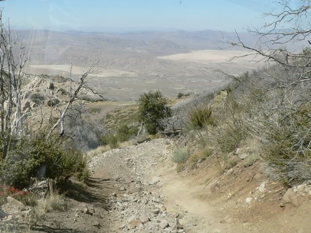
We reached the intersection of 3N17 and Grapevine Canyon Road (4N16). We turned right and headed toward Apple Valley.
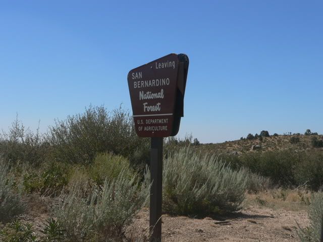
We left the National Forest and entered BLM property.
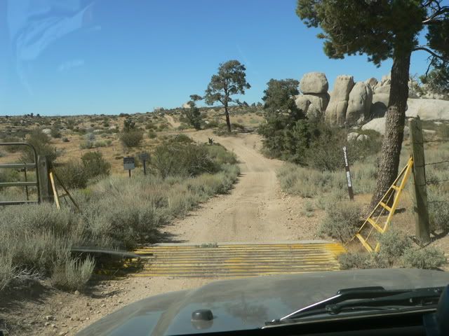

Grapevine Canyon Road is a graded dirt road. There are a few eroded spots, but the road can be traveled in two wheel drive. We reached Highway 18 in Lucerne Valley, aired up and returned home via Highway 18, Bear Valley cutoff and I-15.If you don't like the way I drive, stay out of the bushes!
KI6MLUComment
Comment