A group of us from So Cal headed up 395 for a few days of wheeling and exploring the Eastern Sierras. Our base camp was Pine Glen Group Camp in Mammoth Lakes.
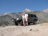
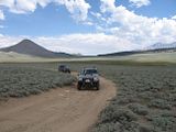
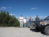
On Thursday 7-27 on the way up we took the road out of Independence towards Onion Valley and found a dirt road out of Seven Pines that lead us up to 7100’ and this view of Mt Bradley.
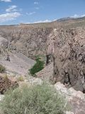
We drove the Owens River Gorge Road out of Bishop that re-connected with 395 at Tom’s Place.
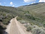
On Friday morning 7-28 we left camp at 9am and played in the hills to the North of town. There are multiple USFS dirt roads in the area and free maps are available at the ranger station located right next to the Shady Cove/Pine Glen Campgrounds. These roads are all green circle easiest routes. The elevations range from 8,000’ to 10,300. The temps in Bishop on the way up were in the low 100s, but the temps while wheeling North of Mammoth were in the mid 80’s.
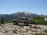
Pic 197 was just North above town and you can see Mammoth Mountain Ski area in the background.
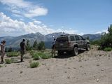
Pic 196 is looking Southwest at the Pumice Butte area.
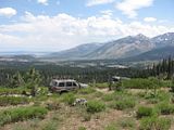
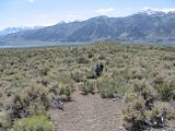
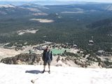
Pic 194 is looking South at 395, Mammoth Airport and Lake Crowley.
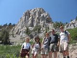
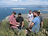
Pic 189 - We took a short walk down the Mammoth Rock Trail.
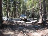
Pic 183 is near Lake Mary.
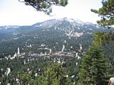
Pic 201 is a view of “New Mammoth” with Mammoth Mountain in the background.
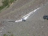
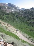
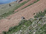
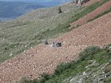
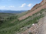
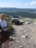
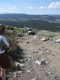
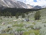
Friday after lunch we took a short trip down 395 to Sherwin Creek Road and headed Southwest towards Laurel Lakes. The pass to upper Laurel Lake is at 10,300’ while the lake is at 9800’ The following pics are from this area.
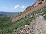

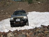
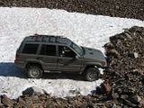
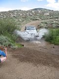
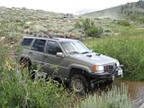
I would highly recommend this trip to anyone. The views are breathtaking. The roads are green circle easy with a some small rocks to drive over and some off camber.
On Thursday 7-27 on the way up we took the road out of Independence towards Onion Valley and found a dirt road out of Seven Pines that lead us up to 7100’ and this view of Mt Bradley.

We drove the Owens River Gorge Road out of Bishop that re-connected with 395 at Tom’s Place.

On Friday morning 7-28 we left camp at 9am and played in the hills to the North of town. There are multiple USFS dirt roads in the area and free maps are available at the ranger station located right next to the Shady Cove/Pine Glen Campgrounds. These roads are all green circle easiest routes. The elevations range from 8,000’ to 10,300. The temps in Bishop on the way up were in the low 100s, but the temps while wheeling North of Mammoth were in the mid 80’s.

Pic 197 was just North above town and you can see Mammoth Mountain Ski area in the background.

Pic 196 is looking Southwest at the Pumice Butte area.

Pic 194 is looking South at 395, Mammoth Airport and Lake Crowley.

Pic 189 - We took a short walk down the Mammoth Rock Trail.

Pic 183 is near Lake Mary.

Pic 201 is a view of “New Mammoth” with Mammoth Mountain in the background.
Friday after lunch we took a short trip down 395 to Sherwin Creek Road and headed Southwest towards Laurel Lakes. The pass to upper Laurel Lake is at 10,300’ while the lake is at 9800’ The following pics are from this area.


I would highly recommend this trip to anyone. The views are breathtaking. The roads are green circle easy with a some small rocks to drive over and some off camber.


Comment