Announcement

Collapse
No announcement yet.

Russ's Rainbow Basin & Inscription Canyon Run

Collapse

Forum Thread First Post

Collapse
X
 
  • Filter
  • Time
  • Show
Clear All
new posts

  • Trail Discussion: Russ's Rainbow Basin & Inscription Canyon Run

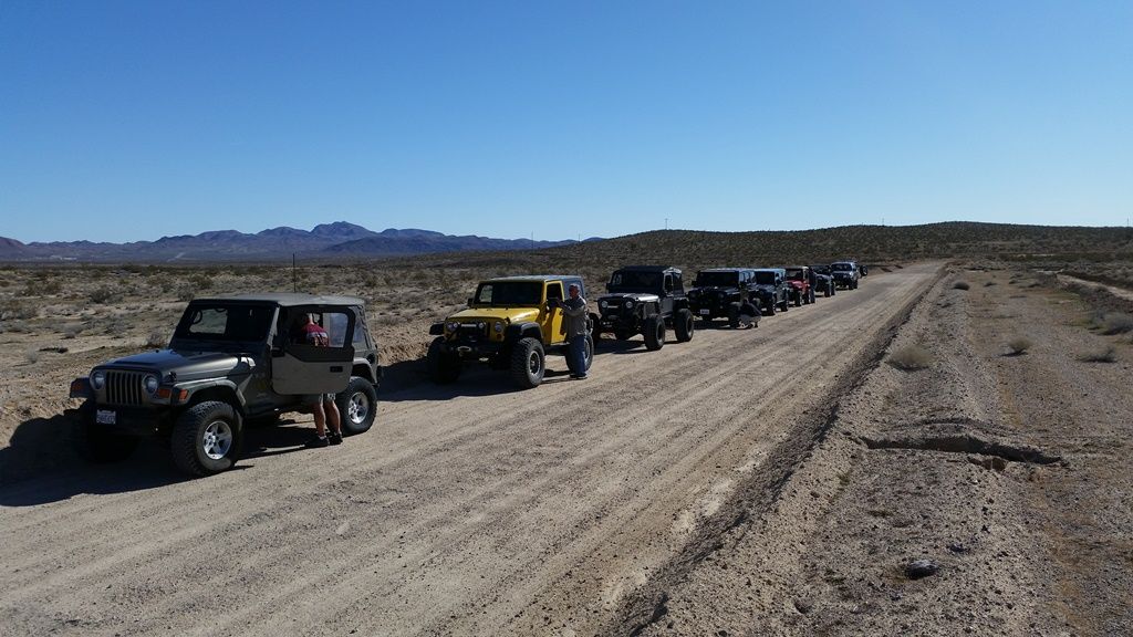
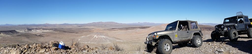
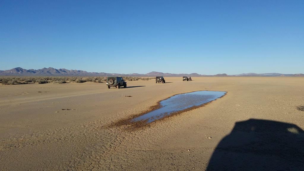
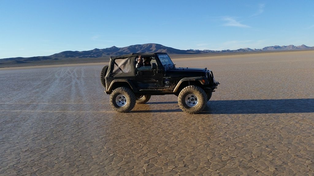
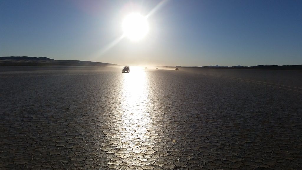
    Russ led us on a scenic loop around and on top of Opal Mt north of Barstow Saturday. We had nine vehicles including 2 new to the group and offroading in their JKU's. Perfect weather, deep mud puddles and great camaraderie. Thanks Russ for leading us through this. Even though I've been out there a couple of times before, much of the trail we took was new to me.

    Rainbow Basin

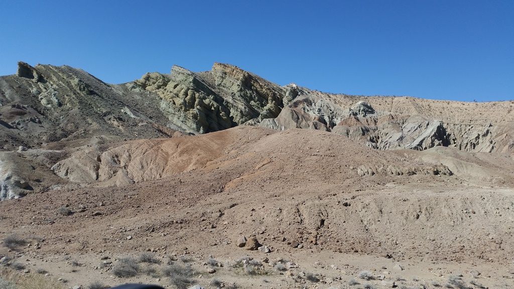
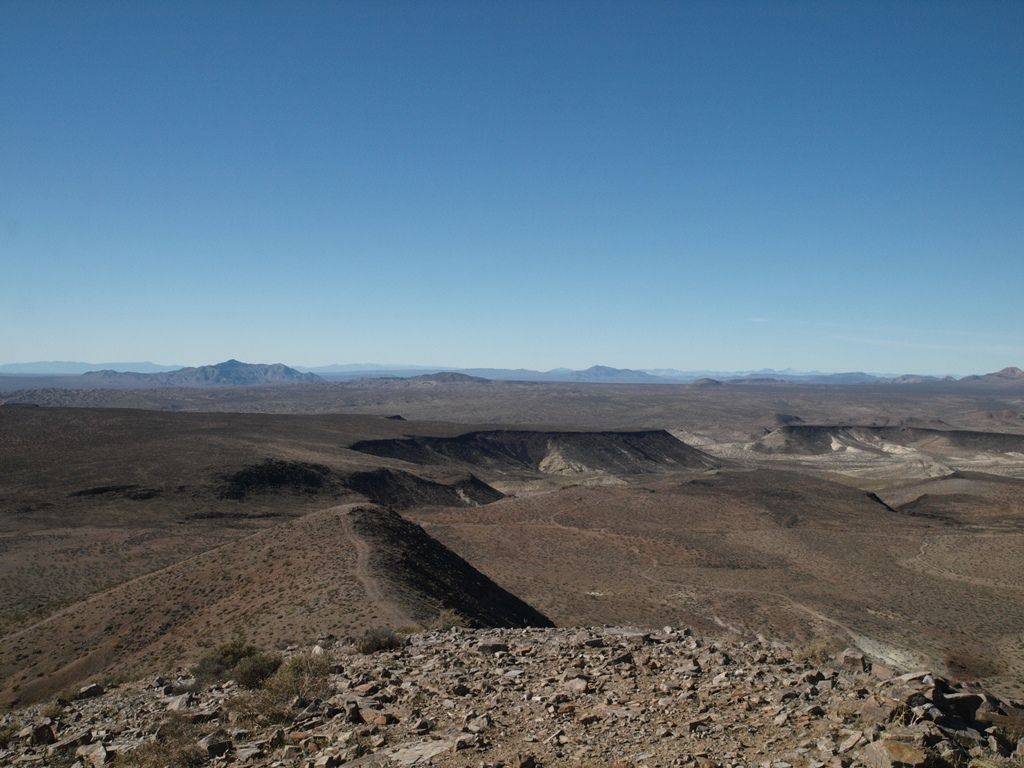
    This basin has a well know geological feature which is a syncline or rock layers folded to form a V. In the center of the picture the rock layers on the left slope down to the center and the rock layers on the right slope down in the opposite direction to the center of the pic.


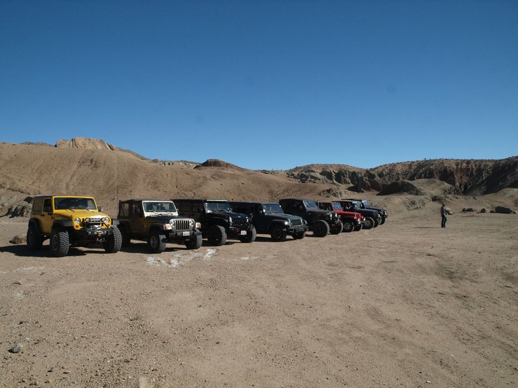
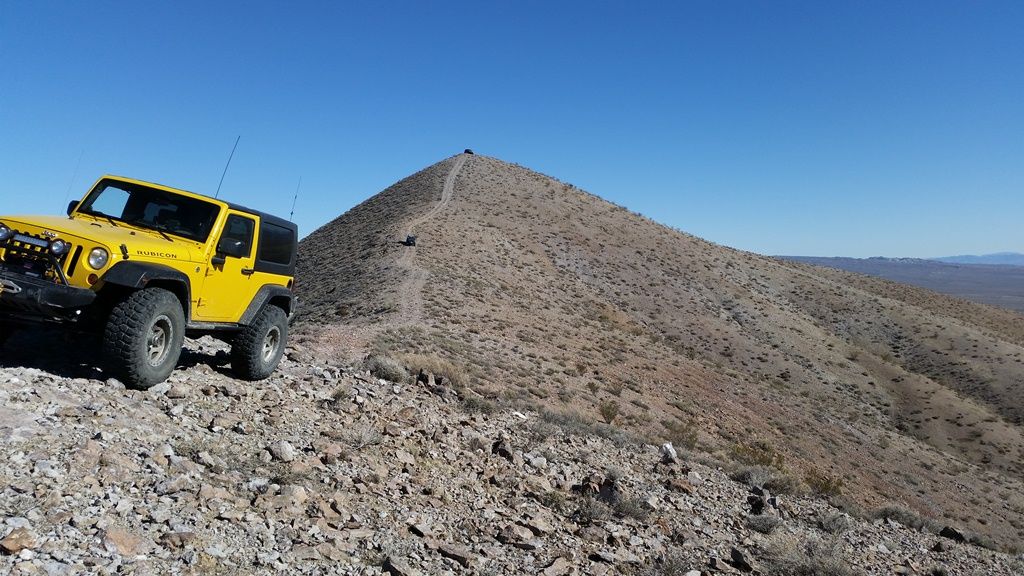
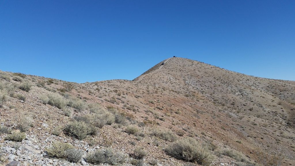
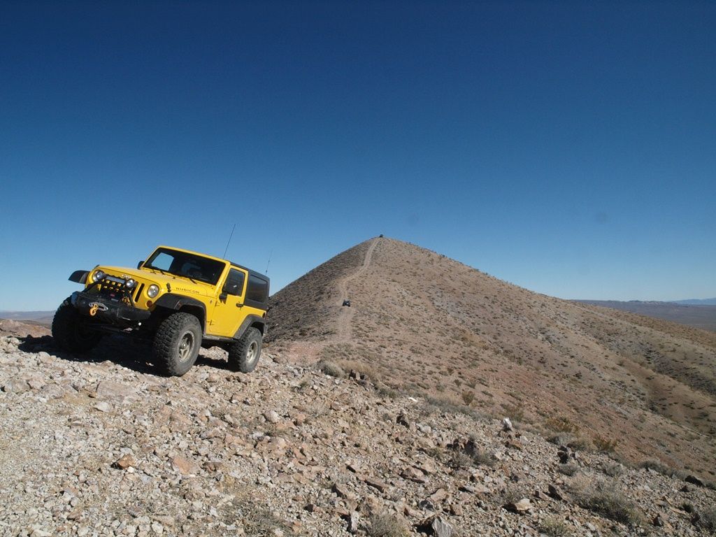
    Climbing to the top of Opal Mt. Much steeper than the photo portrays, one of the new guys said "nobody told me this was optional!"


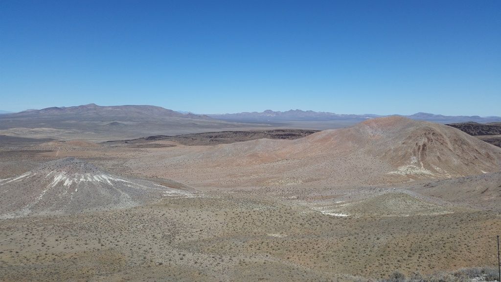
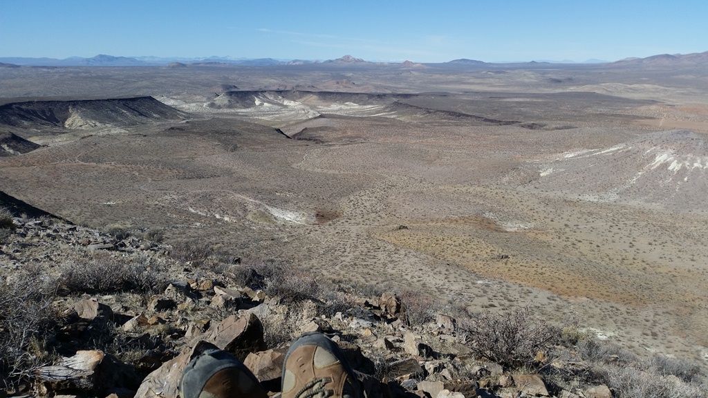
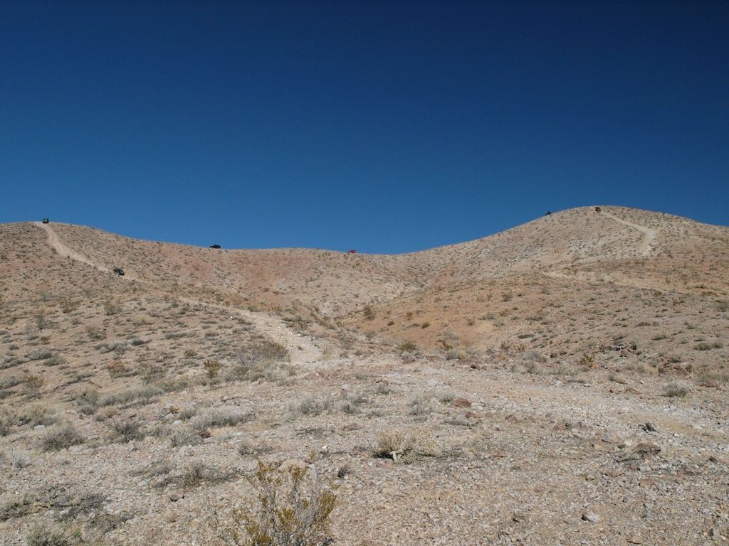
    High altitude lunch break on top. Could see all the way to Mt Whitney in the Eastern Sierras.


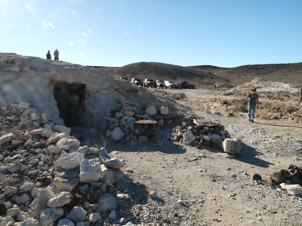
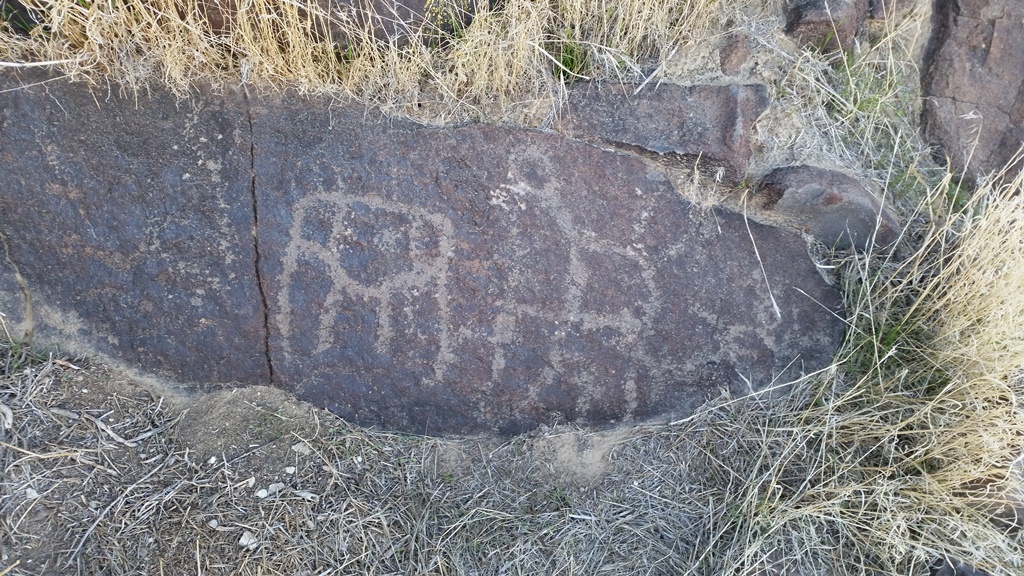
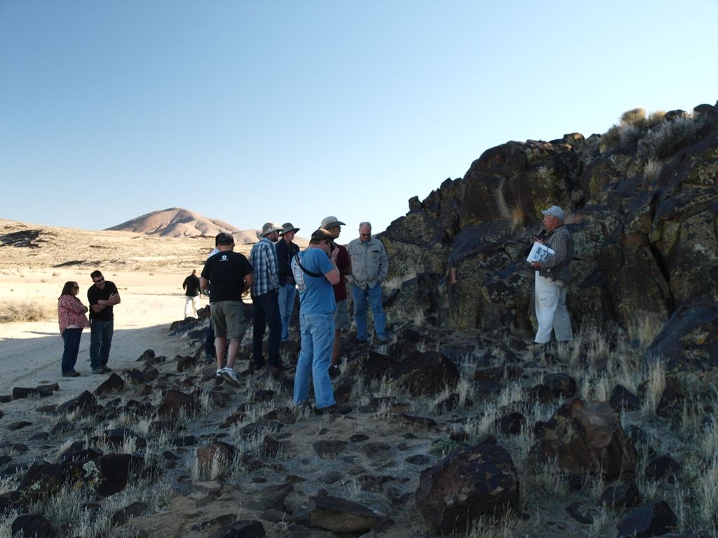
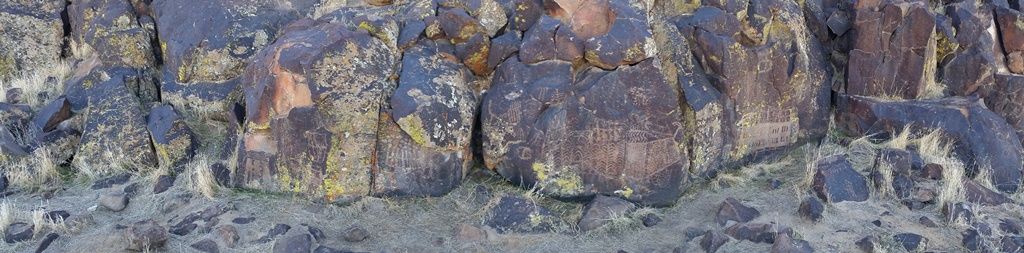
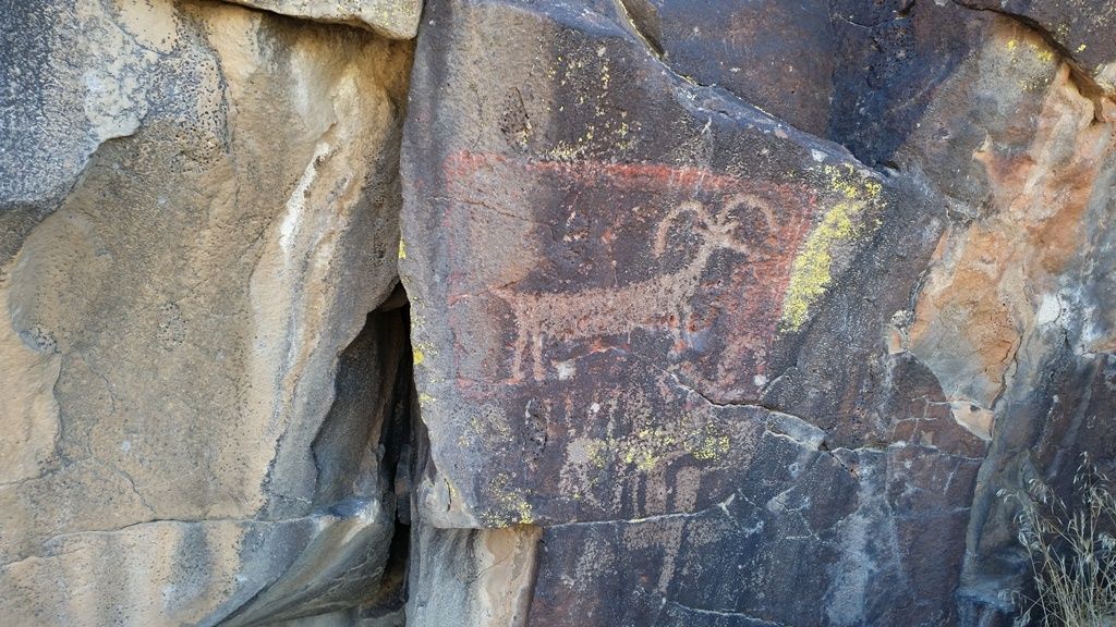
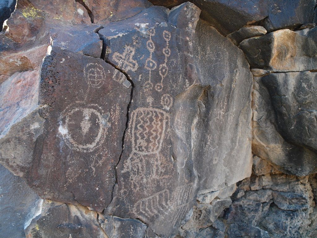
    A gentleman from the Black Mountain Research Center was at inscription canyon to interpret the petroglyhs related to battles between indian tribes 7000 years ago.
    "They look Friendly" G. Custer

  • #2
    Eight of us met in the parking lot of the BLM Office in Barstow: Jason, Chuck (Dirtman), Mike (Deepwater), Mark, Peter (Peterc4c), Jake (TJ Jake), Scott (Zoobi) and myself. Mat (Materdaddy) and Doug (FishPOET) had camped at Owl Canyon Campground the night before and met us at the airdown spot near the entrance to Rainbow Basin. Our plan was to visit Rainbow Basin, proceed to Opal Mountain for lunch, make an optional climb to the top of Opal Mountain, search for Opals at Scouts Cove, view the petroglyphs at Inscription Canyon, then return to Barstow via Copper City Road. The total distance for the loop would be just under 60 miles on dirt.


    We met Mat and Doug at the airdown spot but Doug’s friend, Leslie, was not feeling well, so they decided not to accompany us on the run. That left nine vehicles on the run. Left to right: Mike’s (Deepwater) yellow JK, my khaki TJ, Peter’s (Peterc4c) black JKU, Mark’s gray JKU, Chuck’s (Dirtman) black CJ-7, Jake’s (TJ Jake) red YJ, Jason’s (Jason) green YJ, Mat’s (Materdaddy) black TJ, and Scott’s (Zoobi) gray Landcruiser.


    The weather was clear and sunny, the high was forecast to be in the 60s and the wind was light. It would be a beautiful day to visit the Mojave desert. Our first stop was the Rainbow Basin Scenic Loop:


    We left Rainbow Basin at about 11:30 and headed for Opal Mountain, about 12 miles by road. It should have taken about an hour to travel that distance, but I took a wrong turn, so we did not arrive at the planned lunch stop at the base of Opal Mountain until nearly 1:00 pm. Instead of eating lunch at the base of the mountain, each of us decided to try the optional hill climb to the summit of Opal Mountain and enjoy lunch with a view. This is Mark’s JKU arriving at the summit:


    This is Peter’s (Peterc4c) JKU approaching the summit, while TJ Jake, Materdaddy and Zoobi wait below:


    TJ Jake:


    Materdaddy:


    Zoobi:


    TJ Jake enjoying the lunch break with a view from the top of Opal Mountain:


    Jason enjoying his lunch at the top of Opal Mountain:


    Mike looking at the view from the summit of Opal Mountain. The summit has barely enough room to park our nine vehicles:


    After lunch, we headed back down a separate trail from the top. Jason’s Green YJ is part way down and Mark’s gray JKU waits at the top:


    Mark starts down and Peter waits at the top:


    Peter starts down while Jake, Mat and Scott wait their turn:


    Our next stop was Scouts Cove, the site of a former opal mine.


    Our final stop was Inscription Canyon. Upon arrival, a docent from Black Mountain Complex was at the site and he explained that the Inscription Canyon petroglyphs commemorate an epic battle between two Native American groups (the Uto-Aztecans who inhabited Southern California, Mexico and Central America and the Hokan who inhabited Northern California and the Pacific Northwest) that took place 7,000 years ago in the surrounding area. The battle, which was won by the Hokans, determined control of what is now the American Southwest for the next 2,000 years. He showed us how to interpret some of the symbols on the petroglyphs.

    More information is available at http://www.blackmountaincomplex.com/


    We left Inscription Canyon shortly after 4:00 pm, crossed the dry lakebed that lies east of the site, then headed south on Copper City Road to Fort Irwin Road. We aired up upon reaching Fort Irwin Road and left for home just as the sun set.
    Last edited by Russ Chung; 02-08-16, 04:17 AM.
    If you don't like the way I drive, stay out of the bushes!
    KI6MLU

    Comment


    • #3
      Thanks again for the trip Russ, and the help on some of the turns Scott/Jason. Always a pleasure getting away from pavement with you guys.

      Great run report as well, other than one minor correction:

      Originally posted by Russ Chung View Post
      TJ Jake enjoying the lunch break with a view from the top of Opal Mountain:

      That's actually my passenger Matt, not TJ Jake.
      If we aren't supposed to eat animals, then why are they made out of meat?

      http://jeep.matandtiff.com/

      Truth is treason in the empire of lies. -Ron Paul

      Comment


      • #4
        Thank you Russ for this great run. Had a blast.


        Check out .

        Comment


        • #5
          Originally posted by Materdaddy View Post
          Thanks again for the trip Russ, and the help on some of the turns Scott/Jason. Always a pleasure getting away from pavement with you guys.

          Great run report as well, other than one minor correction:


          That's actually my passenger Matt, not TJ Jake.
          Oops, my apologies to Matt and Jake.
          If you don't like the way I drive, stay out of the bushes!
          KI6MLU

          Comment


          • #6
            Originally posted by dirtman13 View Post
            Thank you Russ for this great run. Had a blast.
            Chuck, that is a really cool shot. Looks like I missed a fun one. Wonder if the Monty would have done the hill climb...its a big under geared :-)
            Off road adventure photography:

            TreadLightly Trainer
            Wilderness First Aid (WFA)
            HAM - KI6PFO

            2005 Rubicon Unlimited + trailer

            Comment


            • #7
              Great photos and trail description Russ. Looks like a great time! Wish I could join you.

              Comment


              • #8
                Looks like a great trip folks!

                To the new MJR folks, you wont' find better people to wheel with. I'm already planning to plan (planning to plan?) a second vacation around when some of the MJR crew is going to go play. Not many people (family included) that'd I'd plan my vacation around. Alls I'm trying to say, is MJR folks are good folks to learn/start wheeling with. If you break on the trail, odds are you'll leave the trail built stronger than before.
                USMC F&AM

                Comment

                Working...
                X