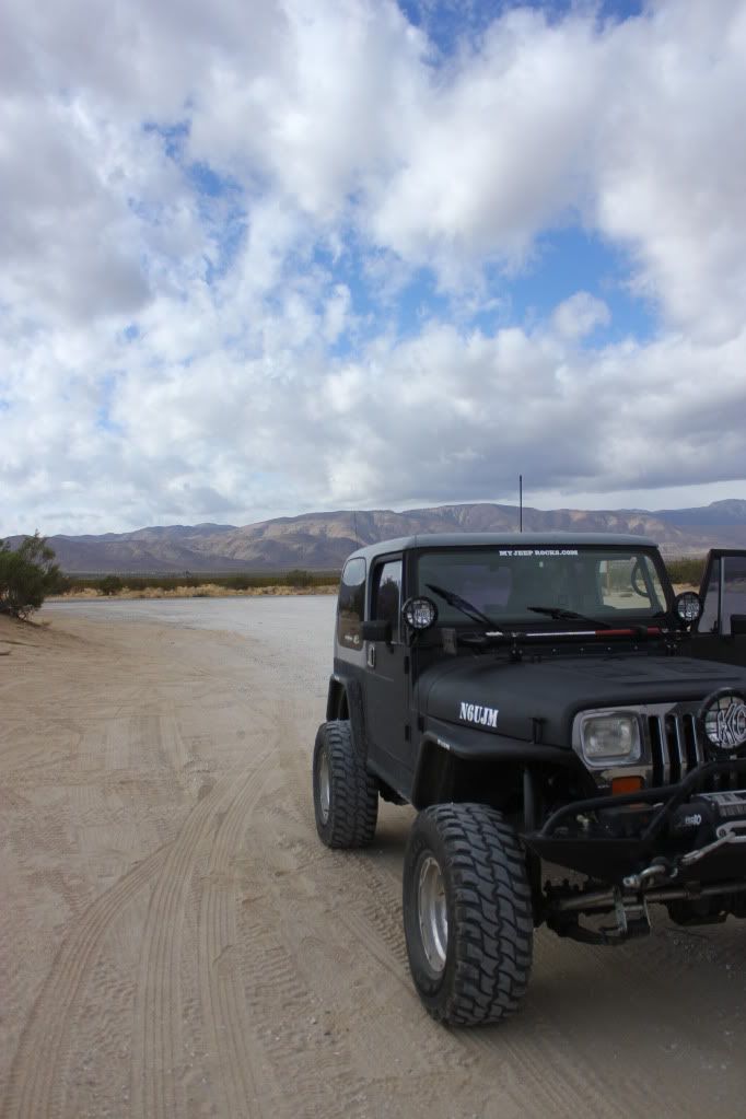
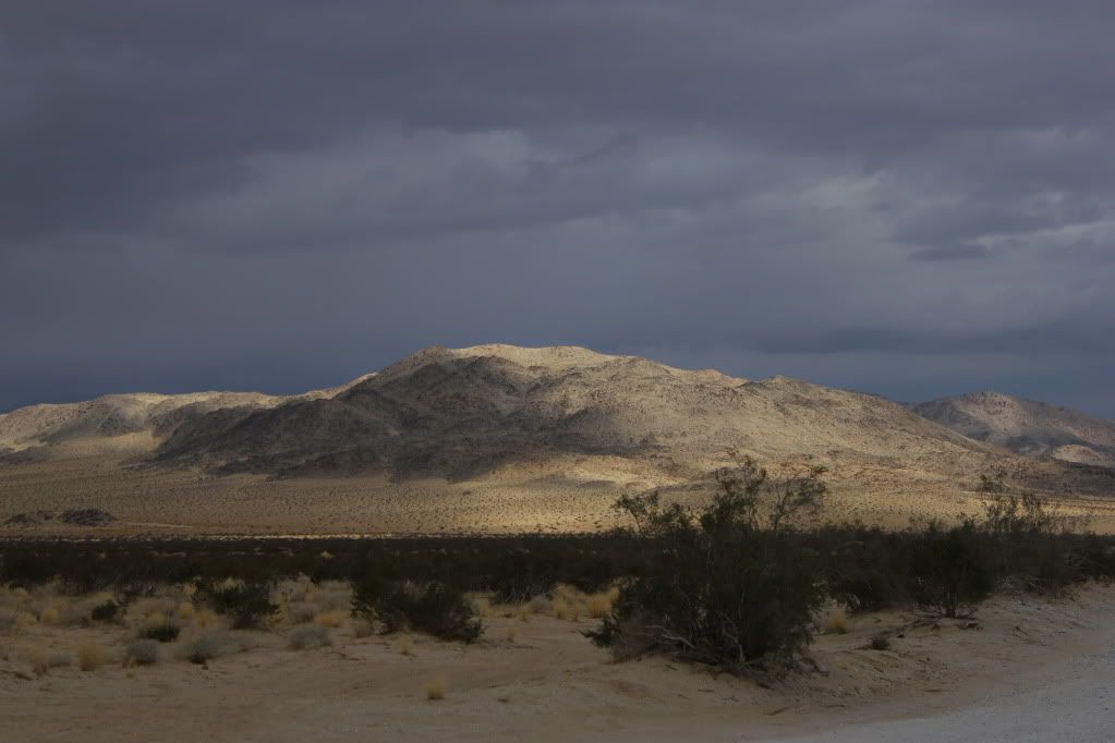
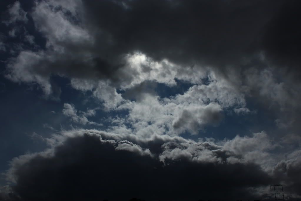
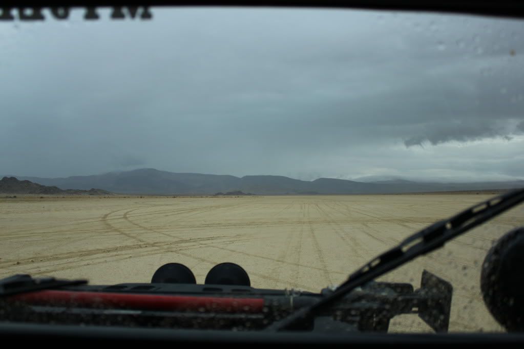
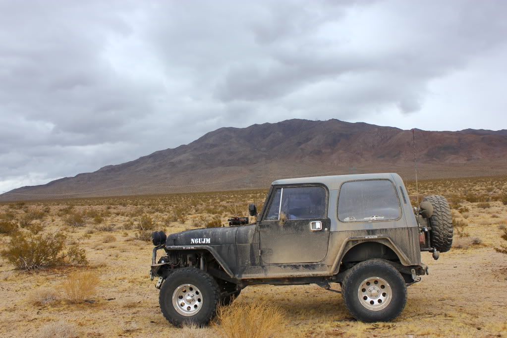
It was cold, cloudy, raining, and windy today in the Mojave Desert. Perfect Jeepin' weather!
So Mitch and I headed out Hwy 247 to Boones Rd. to Means Lake. Our goal was to go straight north to Galway Lake. There is supposed to be an escarpment from the 1992 Landers earthquake running through it that is 5 to 7 feet tall. We checked out the entire lake and could not find it.
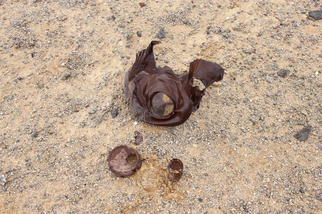
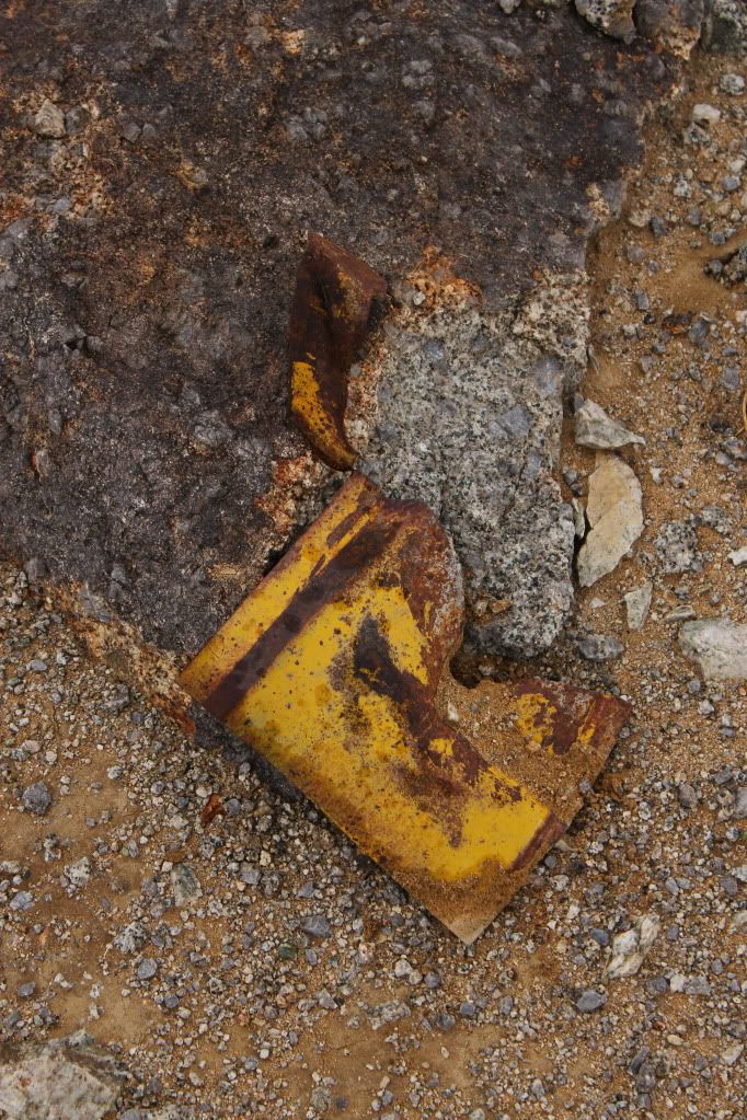
From there we checked out an old mine site west of the lake.
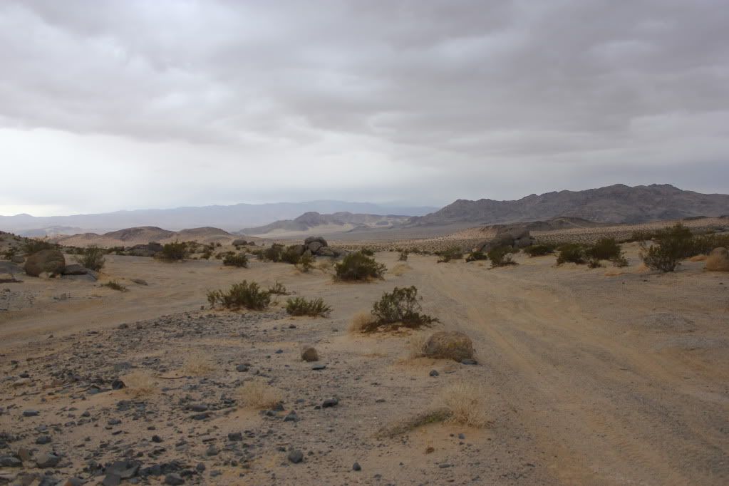
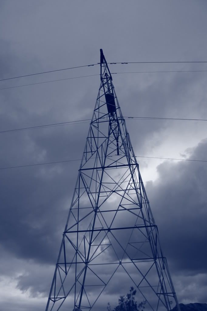
Next we headed due west to on a section of Race Course A. This took us to the power line road that runs to Cougar Buttes. Just a few hundered feet north of the intersection is a transmission tower site that was damaged in the 1992 earthquake. The earthquke fault ran right through the middile of the tower changing it from a square base to a trapazoid.
I saw it in 1992, but time has taken it's toll on the site and you can no longer see the cracks in the ground running under the tower and only two tower foundations remain, so it's not possible to see the damage. SCE built two wooden towers on each side of the site and never rebuilt a steel tower there. I'm sure the reason was they didn't want to build it back on the fault line. The wooden towers are more flexable in an earthquake.
We headed west on the power line road to Cougar Buttes. I wanted to see if I could select a campsite for next weekend. I found a nice spot and I'll post the Lat/long in the Cougar Buttes and Veteran's day run threads.
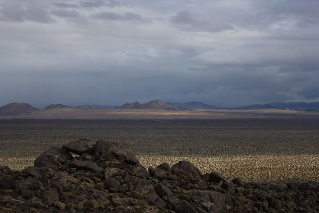
All in all it was a great day hanging with Mitch. We made many stops for Mitch to capture some great shots of today's trip. Stand by for him to post them!
Thanks Mitch! I had a great day!
 All told it was a great day with the neat weather Roger has described. A very relaxing and peaceful day just wandering around. PM Roger if you want to cruise around the desert with us.
Comment