 Tweet
Tweet
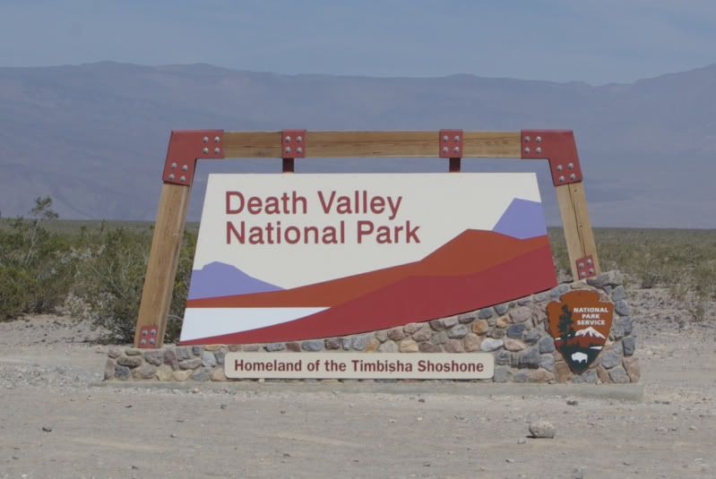
Been wanting to do this for a long time and seeing sooooo many posts of trips thru this area we finally got the oppertunity to "get er done".
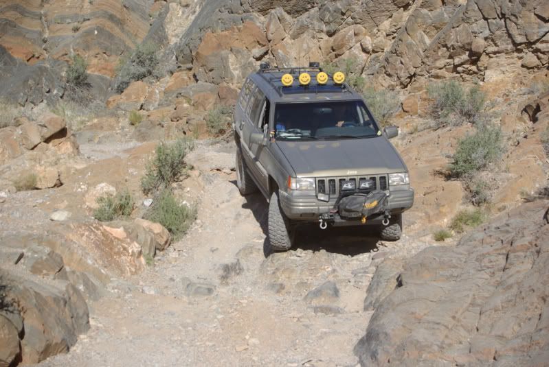
All I can say is wow, what a cool place! We didn't do any real tough 4 wheelin but spent plenty of time off road. (we were supposed to meet up with Russ Chung and Deepwater for a group run but we kinda got up late Fri morning and we missed them)
We left Thurs AM up 395 to Trona and a drive thru the Pinnacles, wifey has never seem them....

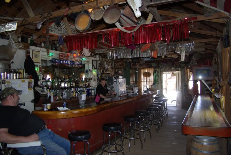
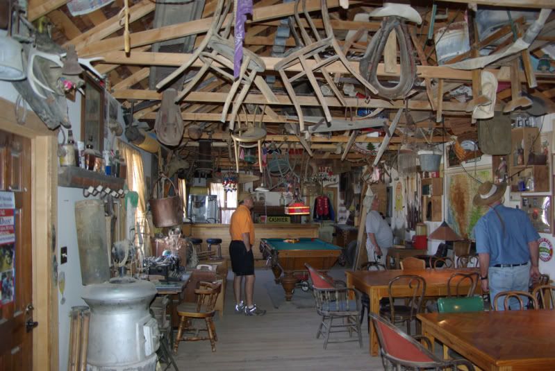
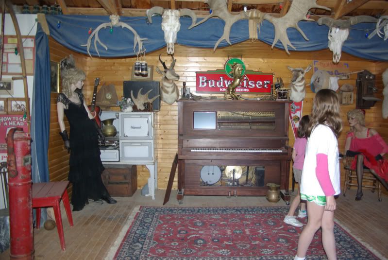
...and of course a stop to see Rock in Bellarat...


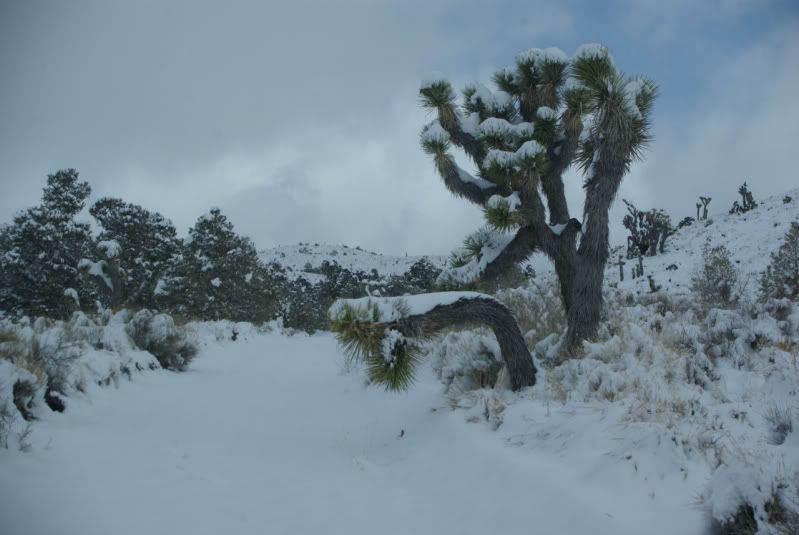
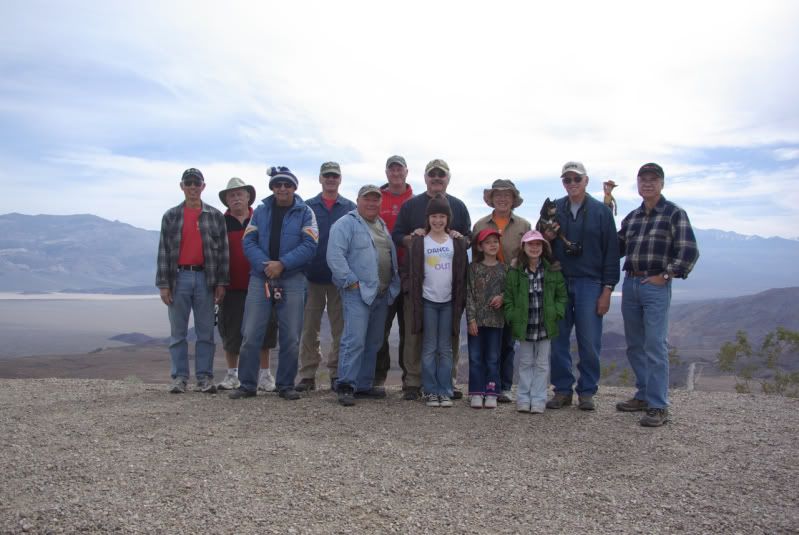
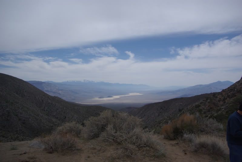
Frome there was some stops at the summits for the views, gas in Trona and up the mountain to Wildrose camp ground. It's a very nice camp ground with running water, pit toilet, fire rings and tables. Best of all it's free!
After setting up camp.....

...we took a drive up to the Charcoal Kilns.....


By then it was time for dinner so back to camp and fire roasted Tri-tip....
"Beef, it what's for dinner"

After a great meal and a nice cigar we sat back and watch the sun set, lit a fire and shared some rum......

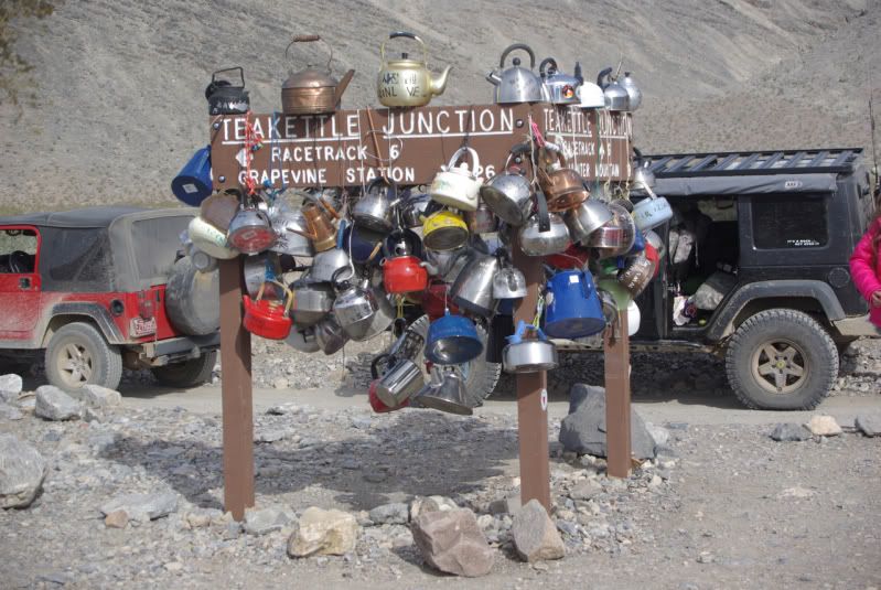
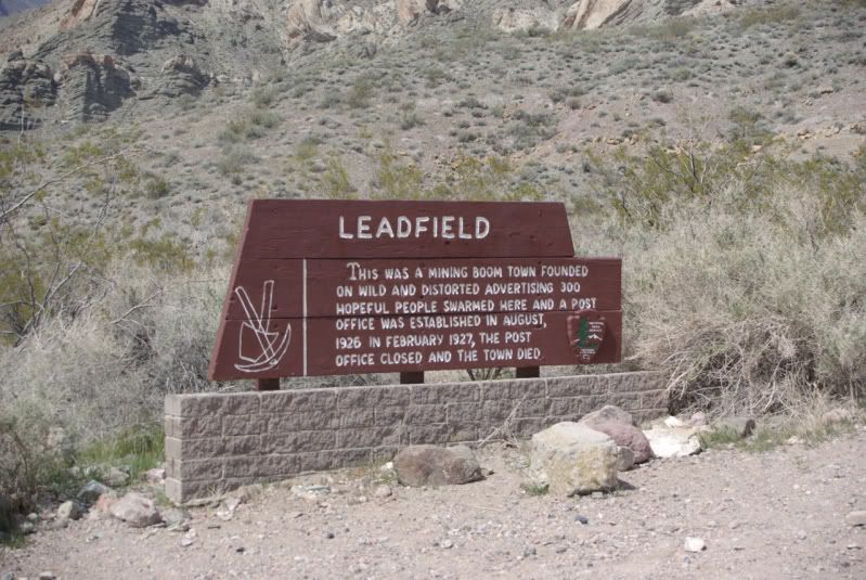
Because of our late start the following morning we missed or chance to see Gold Point with Russ and Mike. Sorry guys but thanks for the invite! One thing is for sure, PLAN AHEAD. This place is S P R E A D O U T! Gas in Stovepipe Wells and Funace Creek, use them wisely....

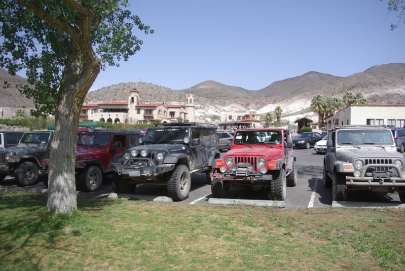
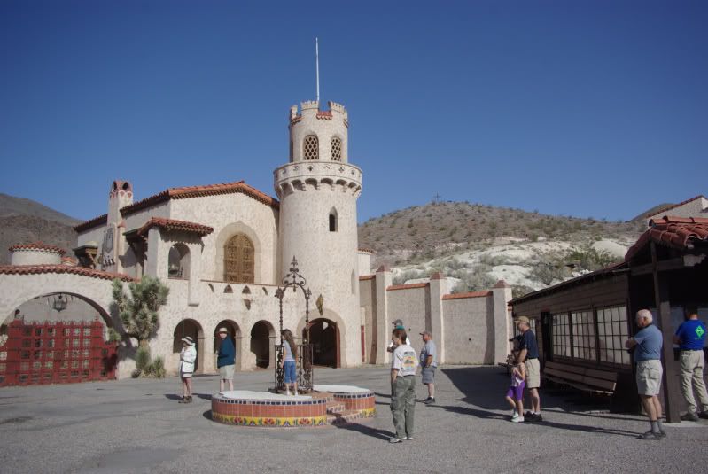
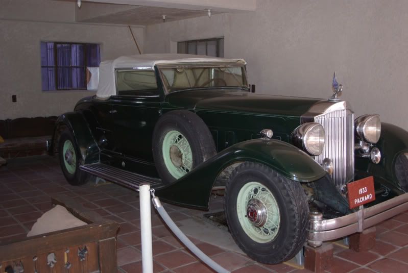
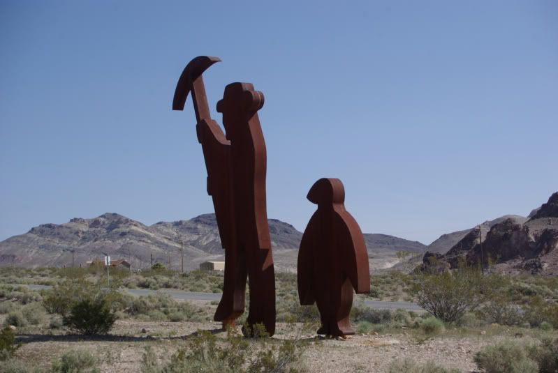
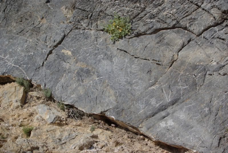
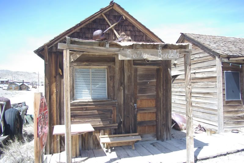
After fueling in Stovepipe Wells we went on to Rhyolite and then Titus Cyn.


Too bad the Depot is not more restored and available to go inside but it was cool none the less just being there and seeing the history....
...but it has it's dark side as well......the mind spins thinking about what has gone on there......


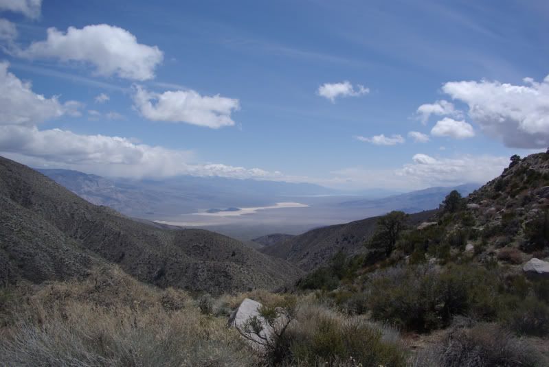
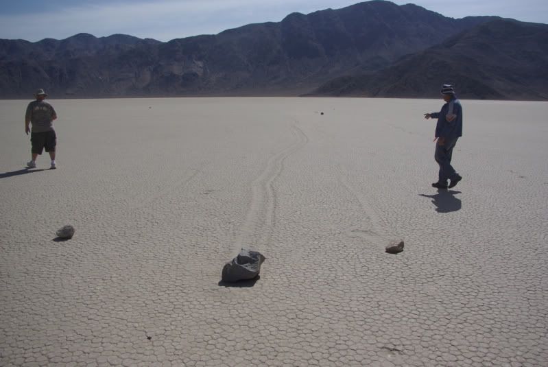
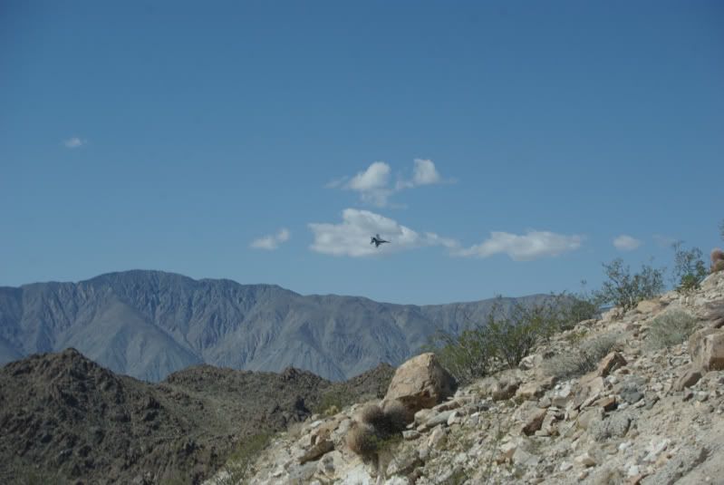
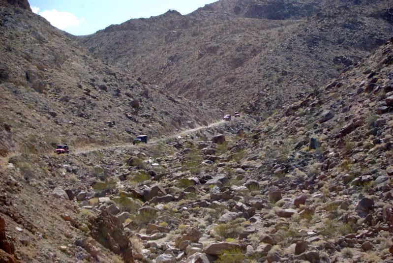
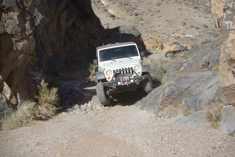
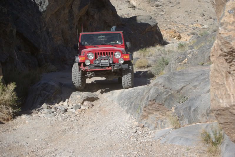
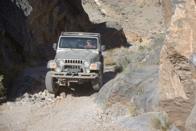
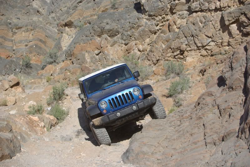
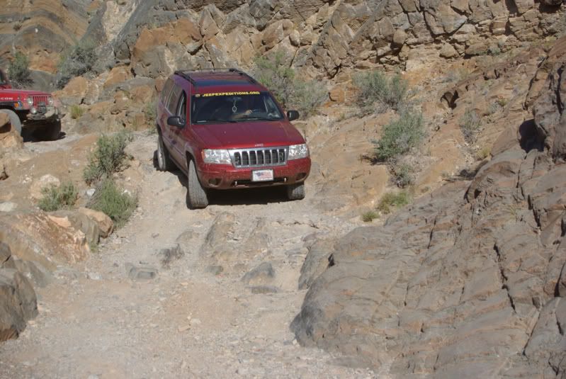
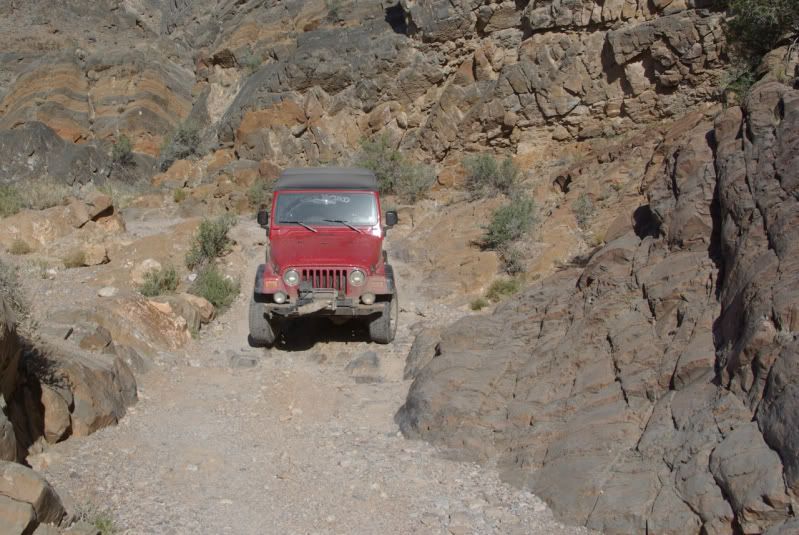
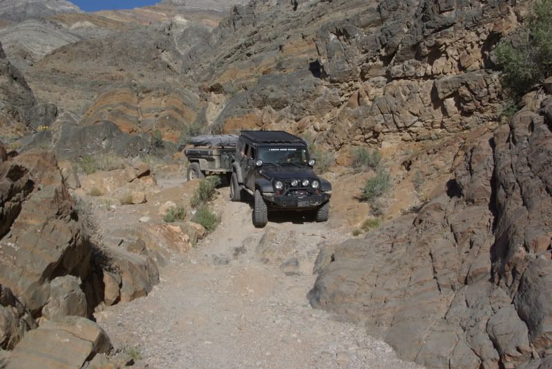
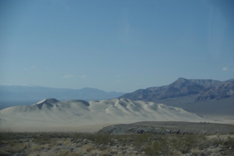
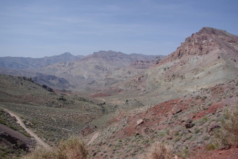
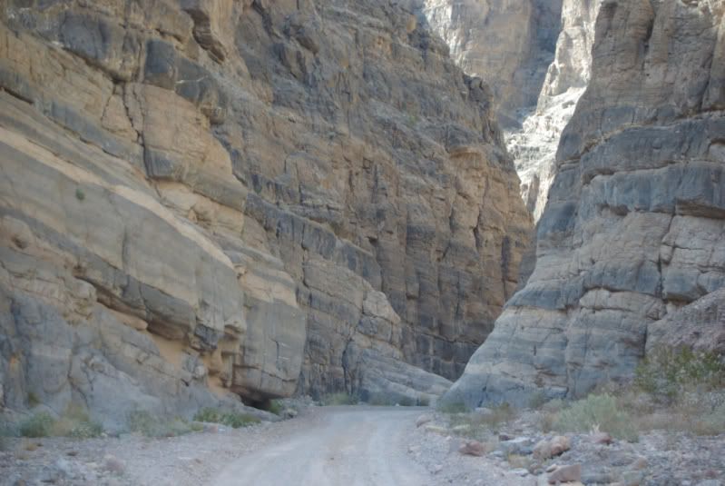
From there we started back to Death Valley Park vis Titus Cyn. If you ever have the chance to go DO IT! Well worth the drive, the first few miles of washboard sucks but it turns to twisty, gravely, rocky, one track road up and over passes and in canyons with million dollar views. All of Death Valley is a viewing wonder with Titus being a top one and I would love to post the pictures but I do not have the eye or the equipment to do it justice, those kida pics never come out well, it has to be see with the eye to behold but I can say, oh what a view!
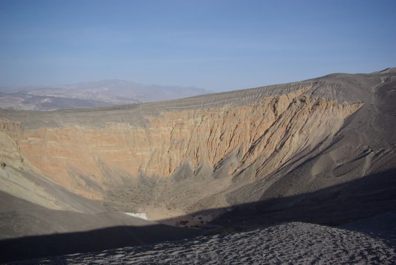
Further along the trail we had lunch and stopped for site seeing.....


By the time we got back to Wildrose it was getting dark so grub, rum and a fire eneded the day. I can clearly see why most trips to Death Valley are multi-camp site trips "thru" the park. Lots of driving based at one spot with there being sooooo much to see and do.
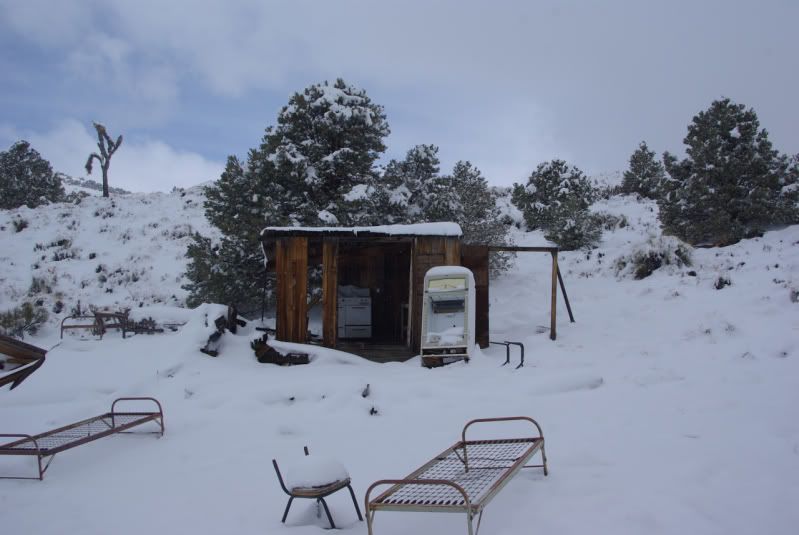
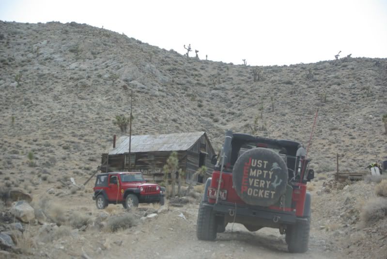
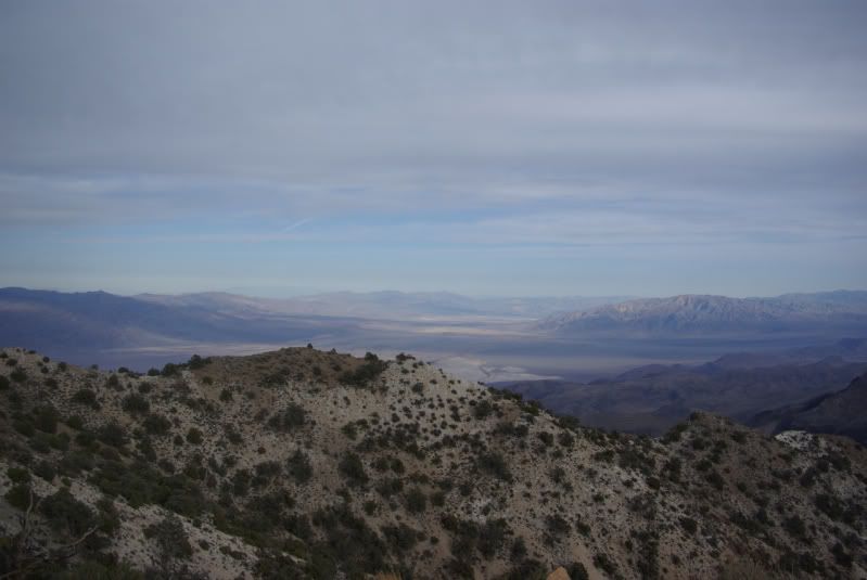
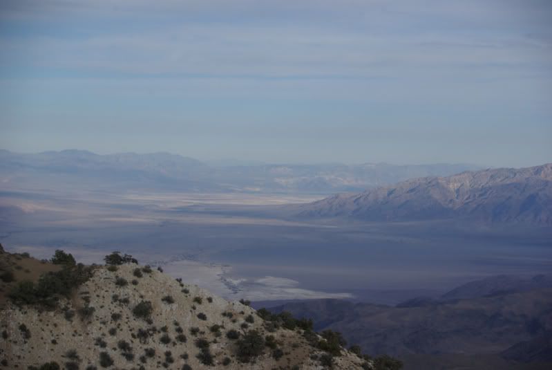
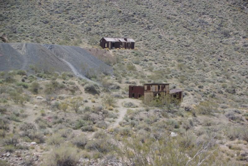
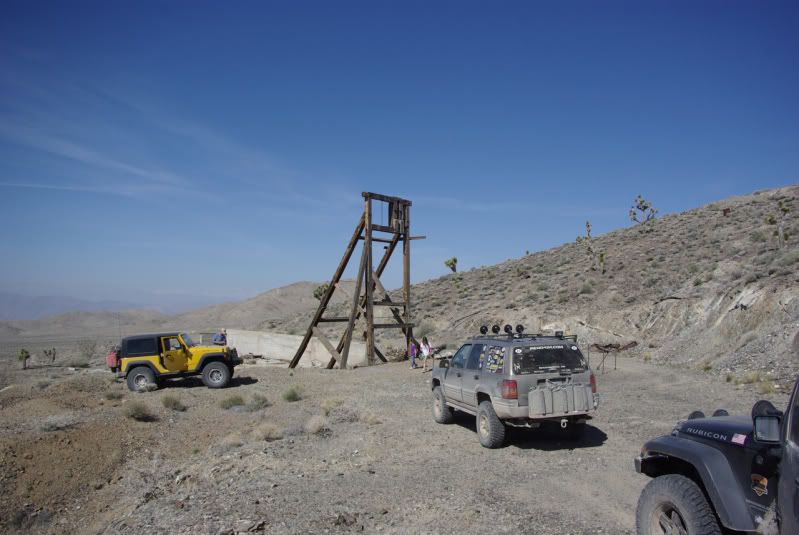
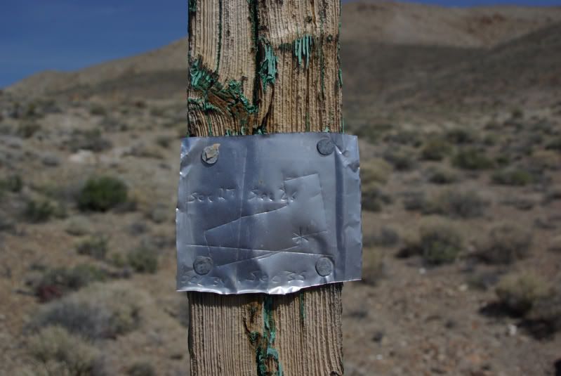
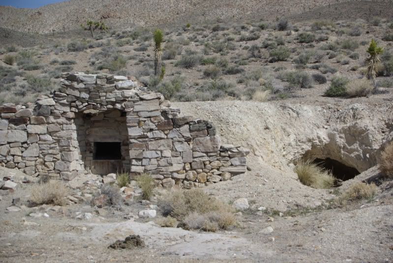
The next day was spent closer to camp driving out to Aguereberry Point and Skidoo Mine site.


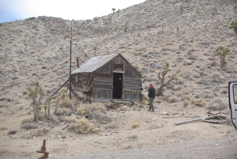
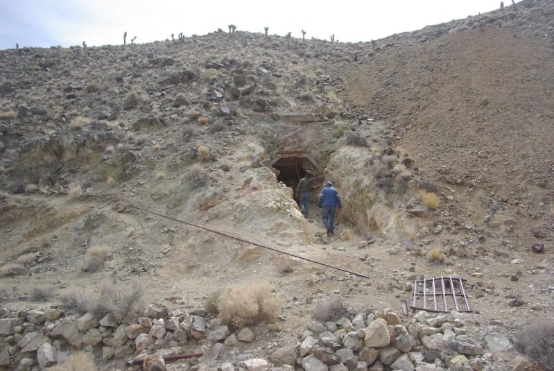
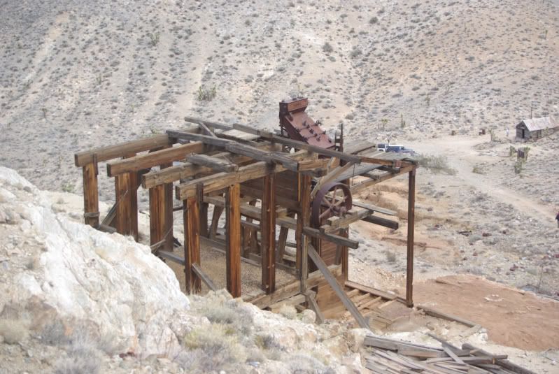
This was the coolest mine site I have every with the stamp mill being there......and with over a 1000 mines in the area lots to expore. Onlt sad thing is plan on doing some hiking, most of the spur roads leading to the shafts or adits are met with this....

...and the adits are ALL this.....


We did manage to spend hours exploring the area, tired we went back to camp to relax, grub and rum.......
......we decided to break camp in the morning and drive south thru the valley to Furnace Creek, Badwater and some other areas the wife has never seen. Out the south end of the valley returning home via Interstate 15.
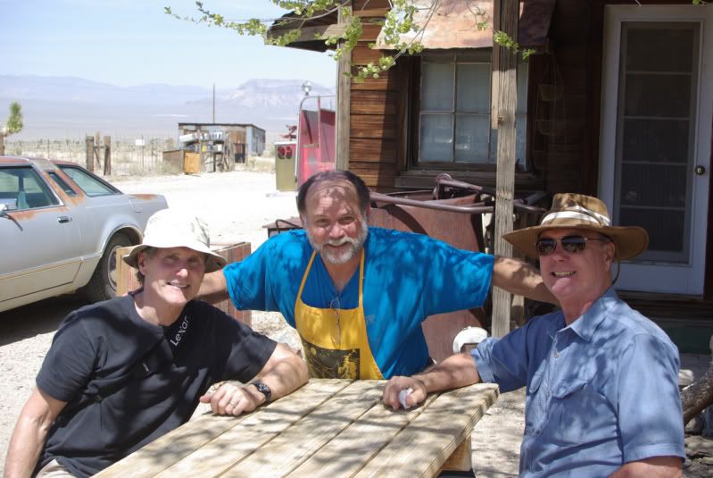
Was a wonderful trip, Mike and his brother stopped by in camp to say hello. Will do it again but next time be more prepared to camp at a new spot every day or two......
All I can say is wow, what a cool place! We didn't do any real tough 4 wheelin but spent plenty of time off road. (we were supposed to meet up with Russ Chung and Deepwater for a group run but we kinda got up late Fri morning and we missed them)
We left Thurs AM up 395 to Trona and a drive thru the Pinnacles, wifey has never seem them....
...and of course a stop to see Rock in Bellarat...
Frome there was some stops at the summits for the views, gas in Trona and up the mountain to Wildrose camp ground. It's a very nice camp ground with running water, pit toilet, fire rings and tables. Best of all it's free!
After setting up camp.....
...we took a drive up to the Charcoal Kilns.....
By then it was time for dinner so back to camp and fire roasted Tri-tip....
"Beef, it what's for dinner"
After a great meal and a nice cigar we sat back and watch the sun set, lit a fire and shared some rum......
Because of our late start the following morning we missed or chance to see Gold Point with Russ and Mike. Sorry guys but thanks for the invite! One thing is for sure, PLAN AHEAD. This place is S P R E A D O U T! Gas in Stovepipe Wells and Funace Creek, use them wisely....
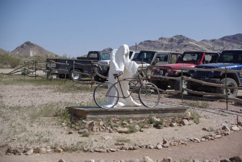
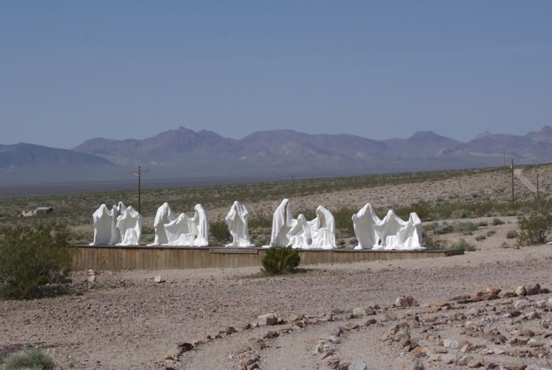
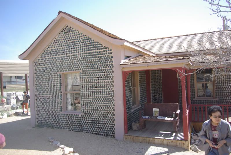
After fueling in Stovepipe Wells we went on to Rhyolite and then Titus Cyn.
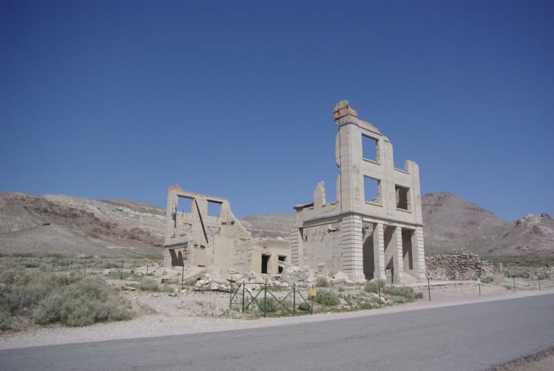
Too bad the Depot is not more restored and available to go inside but it was cool none the less just being there and seeing the history....
...but it has it's dark side as well......the mind spins thinking about what has gone on there......
From there we started back to Death Valley Park vis Titus Cyn. If you ever have the chance to go DO IT! Well worth the drive, the first few miles of washboard sucks but it turns to twisty, gravely, rocky, one track road up and over passes and in canyons with million dollar views. All of Death Valley is a viewing wonder with Titus being a top one and I would love to post the pictures but I do not have the eye or the equipment to do it justice, those kida pics never come out well, it has to be see with the eye to behold but I can say, oh what a view!
Further along the trail we had lunch and stopped for site seeing.....
By the time we got back to Wildrose it was getting dark so grub, rum and a fire eneded the day. I can clearly see why most trips to Death Valley are multi-camp site trips "thru" the park. Lots of driving based at one spot with there being sooooo much to see and do.
The next day was spent closer to camp driving out to Aguereberry Point and Skidoo Mine site.
This was the coolest mine site I have every with the stamp mill being there......and with over a 1000 mines in the area lots to expore. Onlt sad thing is plan on doing some hiking, most of the spur roads leading to the shafts or adits are met with this....
...and the adits are ALL this.....
We did manage to spend hours exploring the area, tired we went back to camp to relax, grub and rum.......
......we decided to break camp in the morning and drive south thru the valley to Furnace Creek, Badwater and some other areas the wife has never seen. Out the south end of the valley returning home via Interstate 15.
Was a wonderful trip, Mike and his brother stopped by in camp to say hello. Will do it again but next time be more prepared to camp at a new spot every day or two......

 .
.
Comment