 Tweet
Tweet
A Sentimental Journey � Part 1 of 5
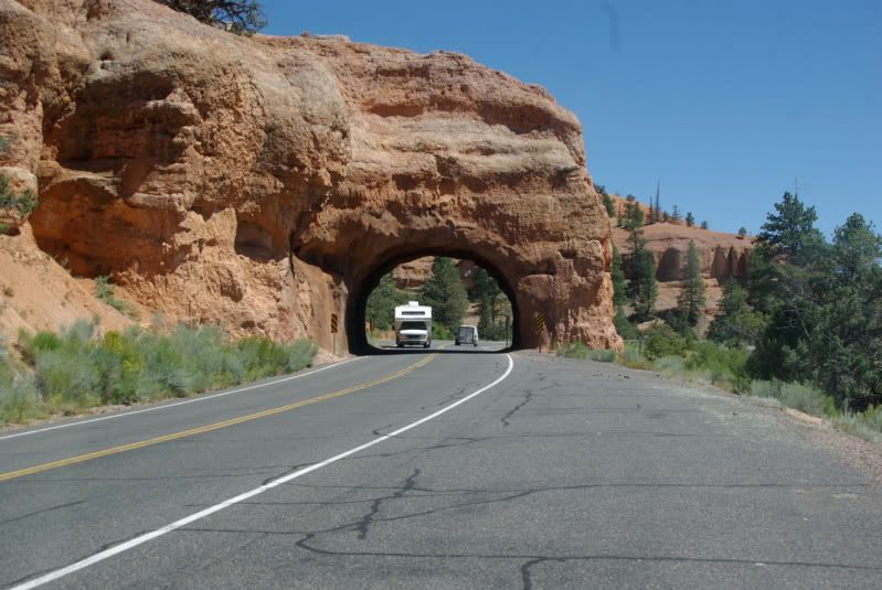
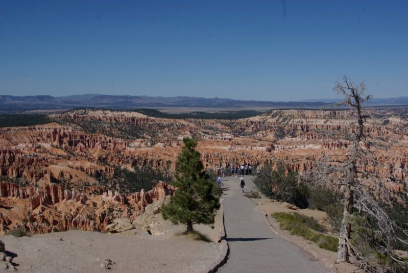
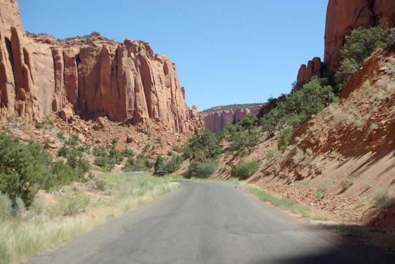
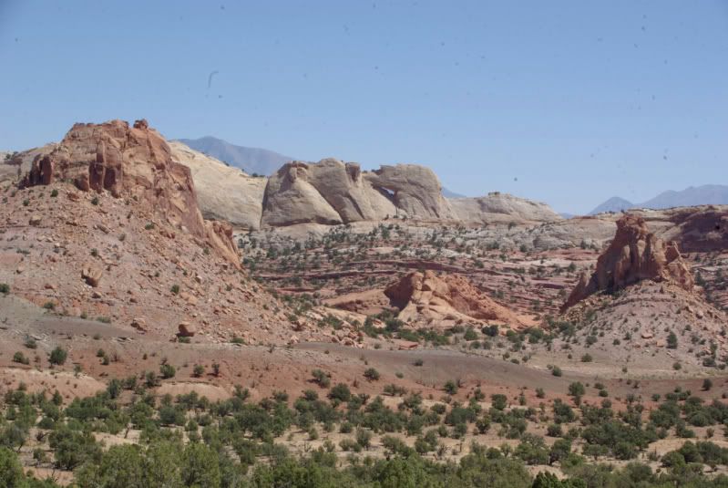
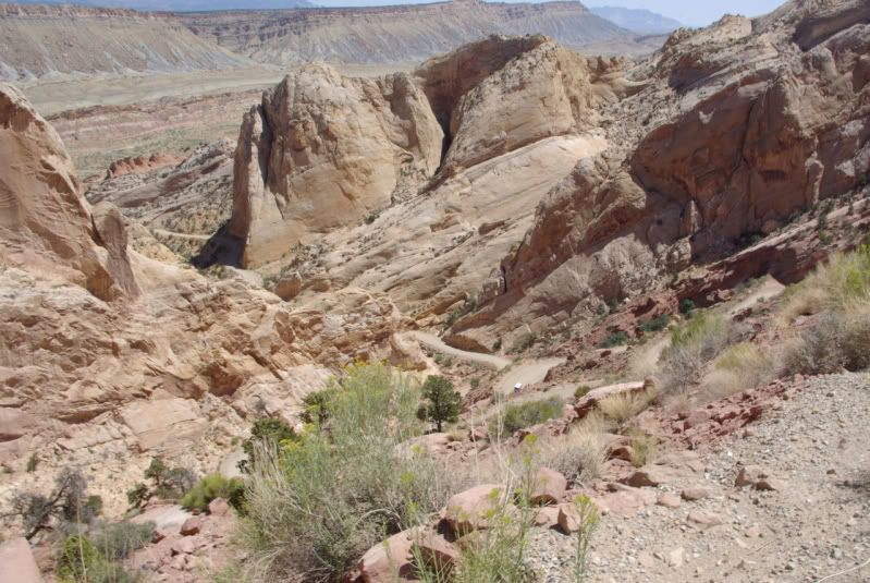
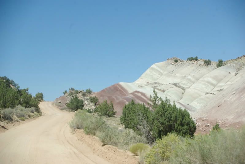
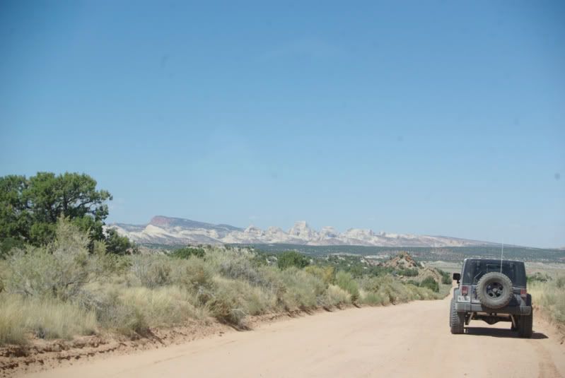
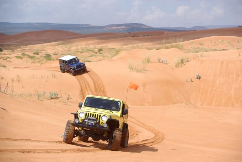
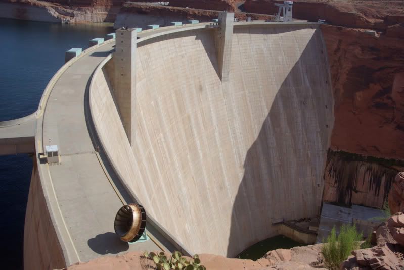
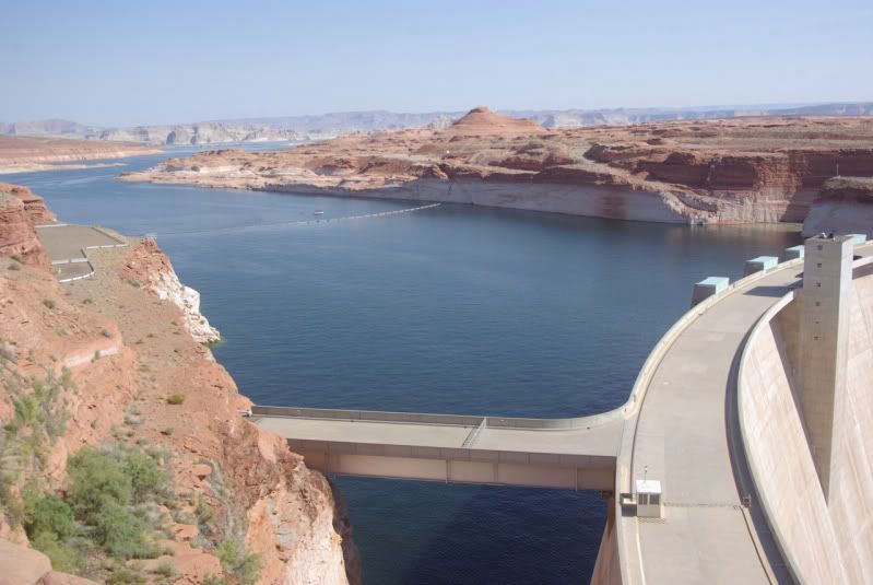
In August 1959, my Boy Scout Troop visited Bryce, Zion and the Grand Canyon National Parks. While en route, we stopped near Page, AZ and saw the Glen Canyon Dam under construction. As the fiftieth anniversary of that youthful trip approached, I thought about returning for another visit, but I couldn�t find anyone to accompany me until at the last moment, a group from JeepExpeditions.org posted a run to the Grand Staircase Escalante National Monument and the North Rim of the Grand Canyon scheduled to take place EXACTLY during the 50th anniversary of my previous visit. I signed up for the run and planned brief return visits to Bryce and Zion on the way to join the group in Escalante, UT. The visits to Bryce and Zion would be on paved roads; we wouldn�t get on dirt until we joined the group in Escalante.
Geology
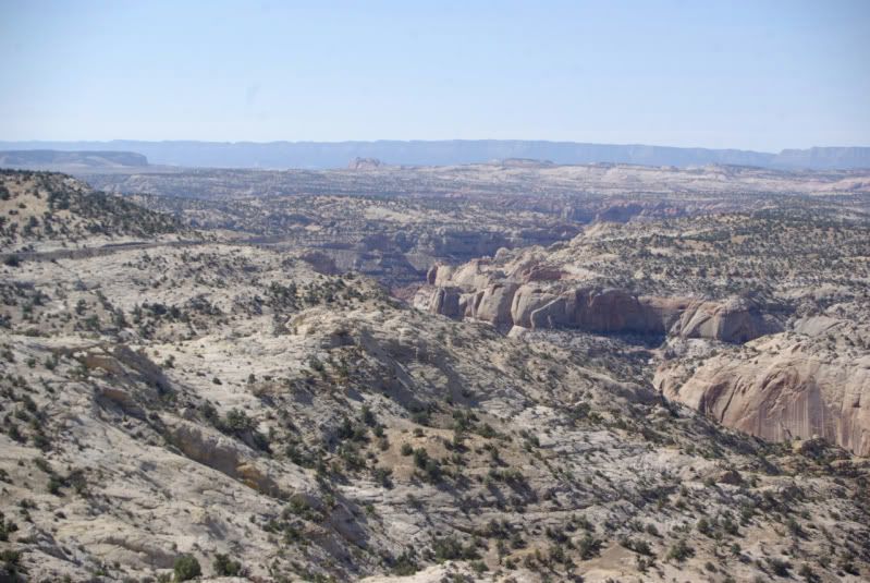
I have a better understanding and appreciation for the magnificent scenery of southwestern Utah after reading a National Park Service brochure about the geology of the area:
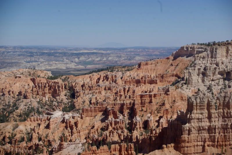
�If you had visited this area sixty million years ago�you would have found yourself treading water in a body of water the size of Lake Erie, surrounded by hills and mountains�
Starting about 60 million years ago, streams flowing from the surrounding highlands washed sand, silt and mud into the basin. Algae living in the lake incorporated calcium carbonate (CaCO2) into their body structures. When they died, their remains left thick deposits of carbonate mud on the lake bottom. Freshwater snails fed in the muddy ooze.
Periodically, the lake would dry up, leaving a level plain where soils formed, plants grew and insects such as ants and wasps burrowed into the dry sediments. Streams ran across the basin, leaving lens-shaped sand and gravel deposits. Then the lake would fill with water and deposition would begin again, adding more layers of sediment.
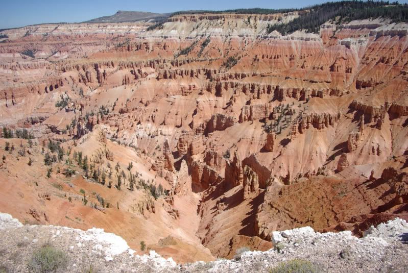
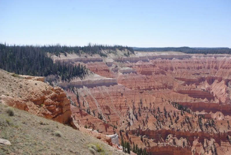
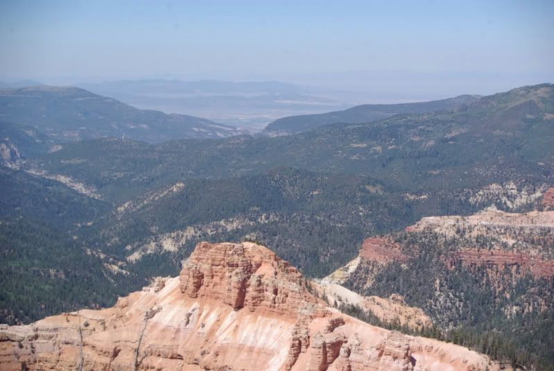
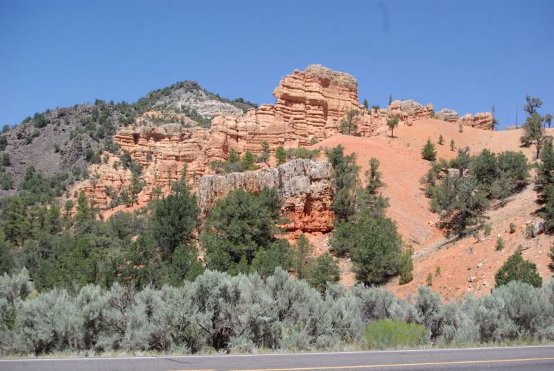
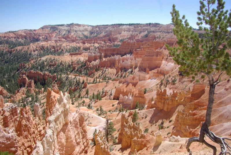
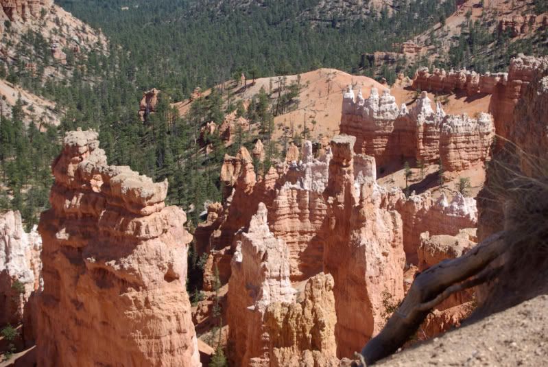
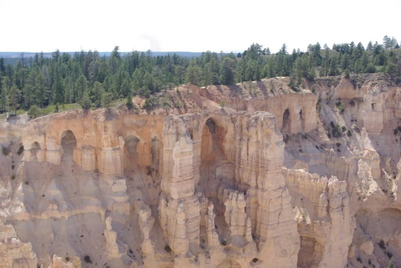
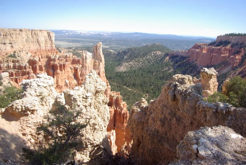
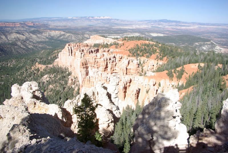
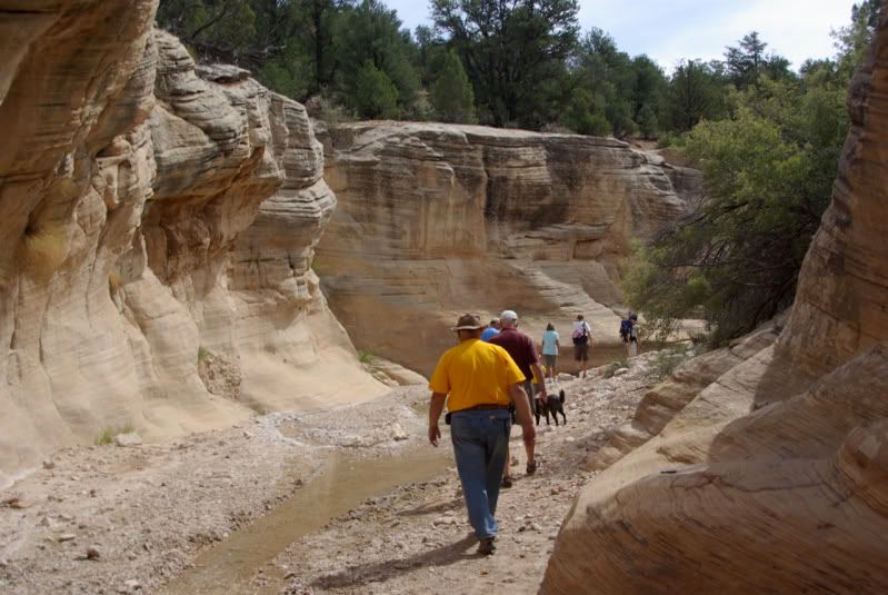
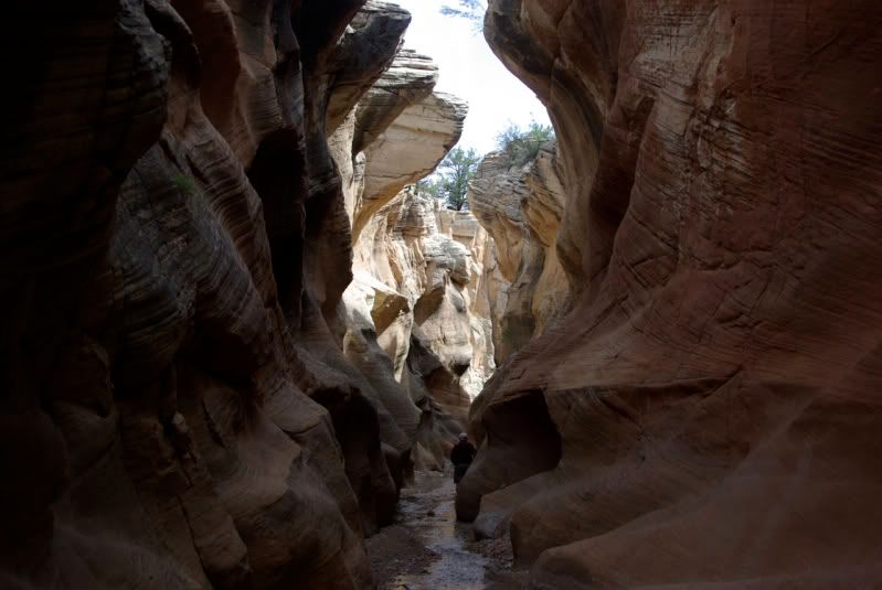
Deposition continued for 20 to 25 million years, gradually filling up the basin as the surrounding highlands wore down. Trace amounts of iron derived from the source rocks combined with oxygen and water, �rusting� the sediments into warm red, orange, and yellow hues. Oxidized manganese stained some sediments purple. These sediments eventually hardened, becoming the siltstones, sandstones, and limestones of the Claron Formation�
Rain falls frequently during the�summer. As it falls, the water combines with carbon dioxide in the atmosphere, forming a weak acid. As this acidic water seeps into the vertical joints, it reacts with the calcium carbonate limestone, dissolving it and progressively widening the cracks into fissures.
When the temperature falls below freezing, water expands, shattering the rock. Roots work their way into the cracks, forcing their edges farther apart. The cracks in turn widen into fissures and then into gullies. Soon, only thin walls, or fins, are left standing under capstones made of harder rock. These capstones act like umbrellas, protecting the fins from the elements and slowing the process of erosion.
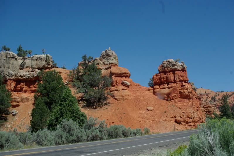
Eventually, erosion wears through the sides of the fins leaving isolated pillars or �hoodoos.� Undercutting of cliffs and fins forms shallow caves and arches.�
Zion National Park
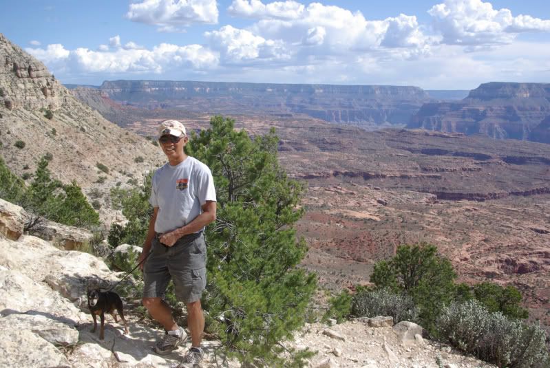
I planned a brief, one-day visit to Zion National Park. In 1959, the Boy Scouts camped in a National Park Service campground and drove up Zion Canyon. However, private vehicles are no longer allowed in Zion Canyon during the peak visitor months (April through October). Free shuttle buses run up the canyon from the Visitor Center at the south entrance of the park, but pets are not allowed on the shuttle buses! Since I wanted to bring Ziggy (my Minpin) with me, I had to find alternate transportation. I solved the problem by staying at a pet-friendly motel in Cedar City, UT and making arrangements to rent a bicycle with a child carrier from Zion Cycles in Springdale, UT, just outside the park entrance. It�s about a nine-mile bike ride from Zion Cycles to the end of the canyon (650 foot elevation gain), and I figured that if I got tired, it was downhill back to the bike shop. Here�s a picture of my four-wheel rig (one-wheel drive):
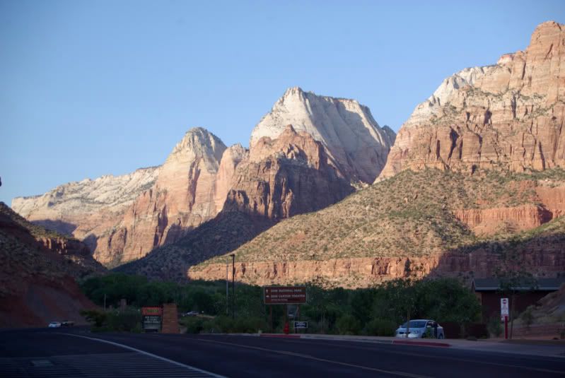
The view from the campground at the south end of Zion Canyon (only seven more miles to go!):
Five miles to go (almost halfway to the end of the canyon):
Zion Canyon Lodge (only three more miles to go!). It was getting warm; the temperature that day was in the 90s. I refilled my water bottles at a drinking fountain:
Two miles to go! (my legs are beginning to hurt):
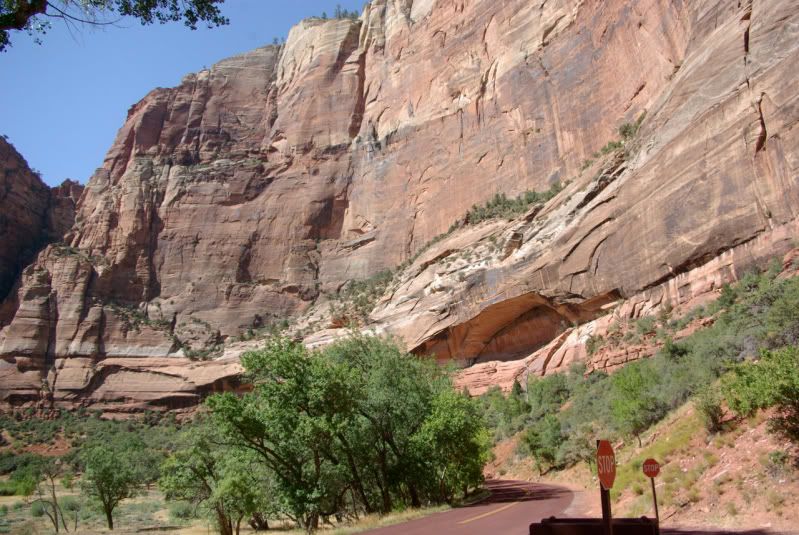
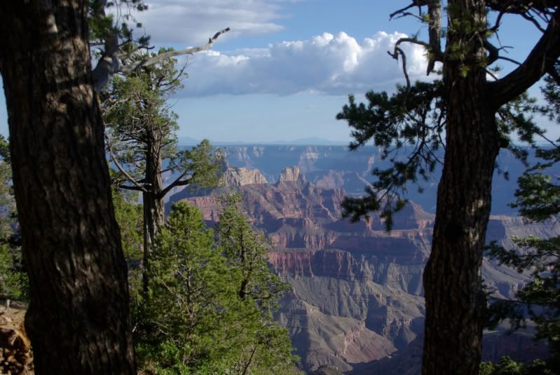
Weeping Rock and Cable Mountain from Big Bend in Zion Canyon; one mile to go!
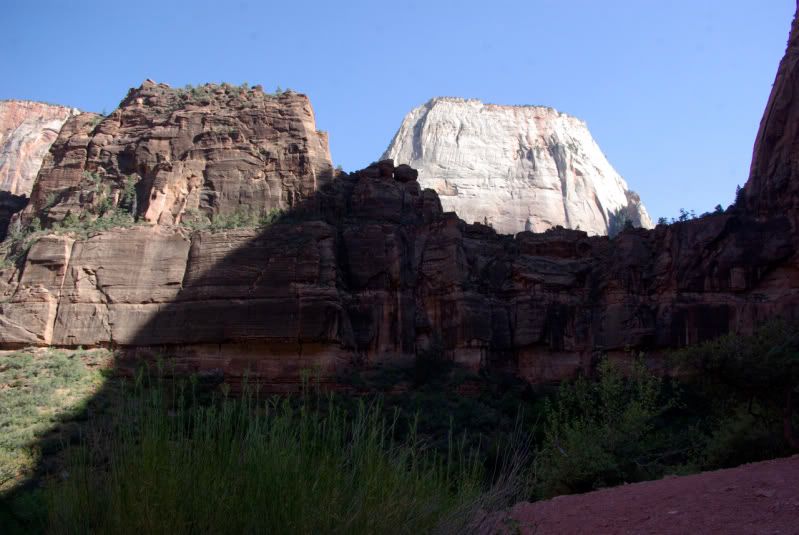
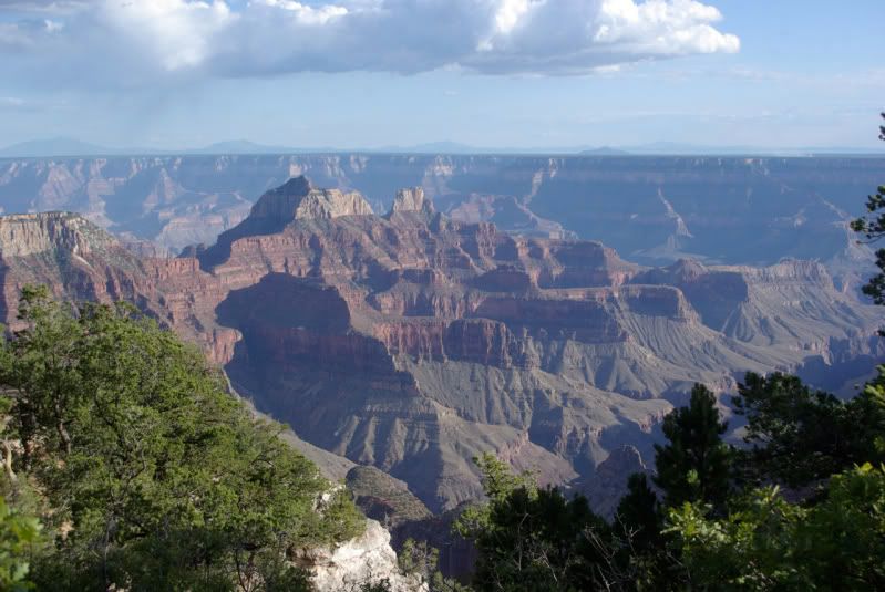
Great White Throne from Big Bend in Zion Canyon:
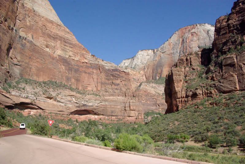
This is the only picture that I took at the end of the pavement in Zion Canyon; you can hike farther up the canyon, but bicycles and pets are not allowed, so I refilled my water bottles and then Ziggy and I turned around and headed back down the canyon:

The return trip was an easy downhill ride, but I must admit that my out-of-shape legs were sore by the time I returned to the bike shop:
(to be continued)
In August 1959, my Boy Scout Troop visited Bryce, Zion and the Grand Canyon National Parks. While en route, we stopped near Page, AZ and saw the Glen Canyon Dam under construction. As the fiftieth anniversary of that youthful trip approached, I thought about returning for another visit, but I couldn�t find anyone to accompany me until at the last moment, a group from JeepExpeditions.org posted a run to the Grand Staircase Escalante National Monument and the North Rim of the Grand Canyon scheduled to take place EXACTLY during the 50th anniversary of my previous visit. I signed up for the run and planned brief return visits to Bryce and Zion on the way to join the group in Escalante, UT. The visits to Bryce and Zion would be on paved roads; we wouldn�t get on dirt until we joined the group in Escalante.
Geology
I have a better understanding and appreciation for the magnificent scenery of southwestern Utah after reading a National Park Service brochure about the geology of the area:
�If you had visited this area sixty million years ago�you would have found yourself treading water in a body of water the size of Lake Erie, surrounded by hills and mountains�
Starting about 60 million years ago, streams flowing from the surrounding highlands washed sand, silt and mud into the basin. Algae living in the lake incorporated calcium carbonate (CaCO2) into their body structures. When they died, their remains left thick deposits of carbonate mud on the lake bottom. Freshwater snails fed in the muddy ooze.
Periodically, the lake would dry up, leaving a level plain where soils formed, plants grew and insects such as ants and wasps burrowed into the dry sediments. Streams ran across the basin, leaving lens-shaped sand and gravel deposits. Then the lake would fill with water and deposition would begin again, adding more layers of sediment.
Deposition continued for 20 to 25 million years, gradually filling up the basin as the surrounding highlands wore down. Trace amounts of iron derived from the source rocks combined with oxygen and water, �rusting� the sediments into warm red, orange, and yellow hues. Oxidized manganese stained some sediments purple. These sediments eventually hardened, becoming the siltstones, sandstones, and limestones of the Claron Formation�
Rain falls frequently during the�summer. As it falls, the water combines with carbon dioxide in the atmosphere, forming a weak acid. As this acidic water seeps into the vertical joints, it reacts with the calcium carbonate limestone, dissolving it and progressively widening the cracks into fissures.
When the temperature falls below freezing, water expands, shattering the rock. Roots work their way into the cracks, forcing their edges farther apart. The cracks in turn widen into fissures and then into gullies. Soon, only thin walls, or fins, are left standing under capstones made of harder rock. These capstones act like umbrellas, protecting the fins from the elements and slowing the process of erosion.
Eventually, erosion wears through the sides of the fins leaving isolated pillars or �hoodoos.� Undercutting of cliffs and fins forms shallow caves and arches.�
Zion National Park
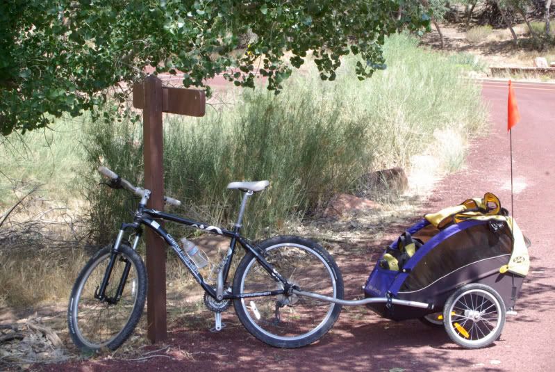
I planned a brief, one-day visit to Zion National Park. In 1959, the Boy Scouts camped in a National Park Service campground and drove up Zion Canyon. However, private vehicles are no longer allowed in Zion Canyon during the peak visitor months (April through October). Free shuttle buses run up the canyon from the Visitor Center at the south entrance of the park, but pets are not allowed on the shuttle buses! Since I wanted to bring Ziggy (my Minpin) with me, I had to find alternate transportation. I solved the problem by staying at a pet-friendly motel in Cedar City, UT and making arrangements to rent a bicycle with a child carrier from Zion Cycles in Springdale, UT, just outside the park entrance. It�s about a nine-mile bike ride from Zion Cycles to the end of the canyon (650 foot elevation gain), and I figured that if I got tired, it was downhill back to the bike shop. Here�s a picture of my four-wheel rig (one-wheel drive):
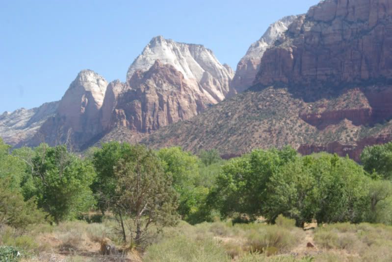
The view from the campground at the south end of Zion Canyon (only seven more miles to go!):
Five miles to go (almost halfway to the end of the canyon):
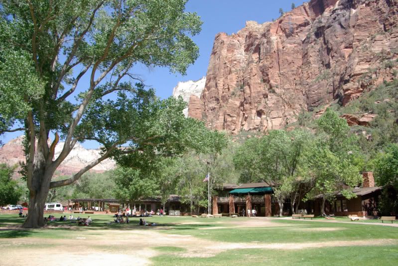
Zion Canyon Lodge (only three more miles to go!). It was getting warm; the temperature that day was in the 90s. I refilled my water bottles at a drinking fountain:
Two miles to go! (my legs are beginning to hurt):
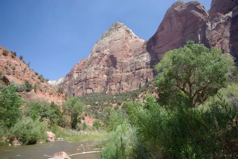
Weeping Rock and Cable Mountain from Big Bend in Zion Canyon; one mile to go!
Great White Throne from Big Bend in Zion Canyon:
This is the only picture that I took at the end of the pavement in Zion Canyon; you can hike farther up the canyon, but bicycles and pets are not allowed, so I refilled my water bottles and then Ziggy and I turned around and headed back down the canyon:
The return trip was an easy downhill ride, but I must admit that my out-of-shape legs were sore by the time I returned to the bike shop:
(to be continued)


Comment