Announcement

Collapse
No announcement yet.

Angeles National Forest from Angeles Crest Highway

Collapse

Forum Thread First Post

Collapse
X
 
  • Filter
  • Time
  • Show
Clear All
new posts

  • Trail Report: Angeles National Forest from Angeles Crest Highway

    We had a great time in the mountains yesterday. It was cool and breezy and exactly what we were looking for. We started off at Newcomb's Ranch for brunch at 10:00. Then we hit up the visitor center down the road before heading up to Mt. Pacifico Camp round. Then we took a spur road up to a scenic vista with a beautiful 360 degree view. On the way back to the hwy we stopped to poke our heads in an unnamed mine. Ill let Christian fill in all the details but here are my pictures.

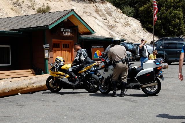
    Newcomb's Ranch
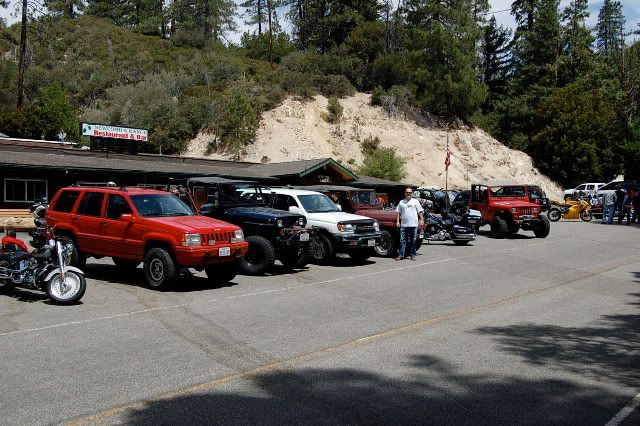

    Lots of motorcycles on the mountain today. Some faster than others....

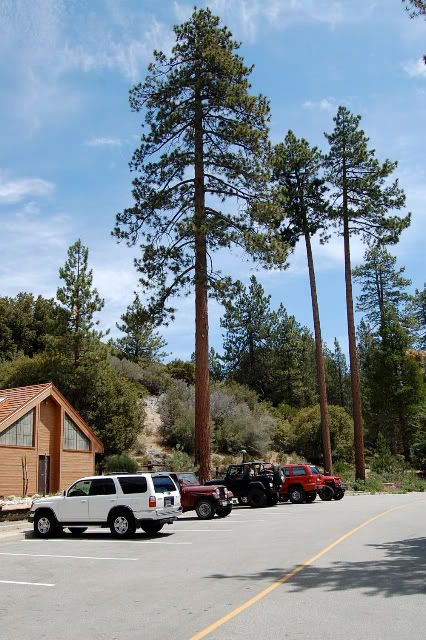
    Our quick stop at the visitors center.

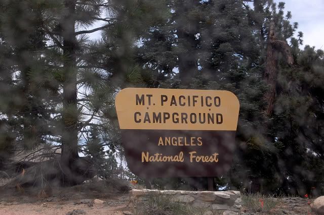
    After Christian explained that Mt Pacifico is not the place where the beer is made we all calmed down and enjoyed the view anyway.

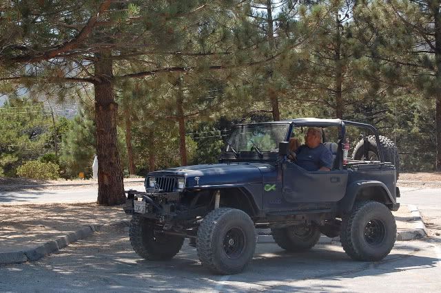
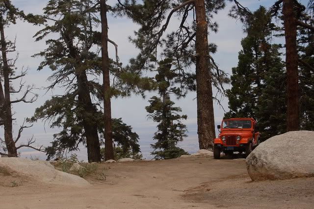
    There was a guy camping up there in a really nice Cj when we got there.

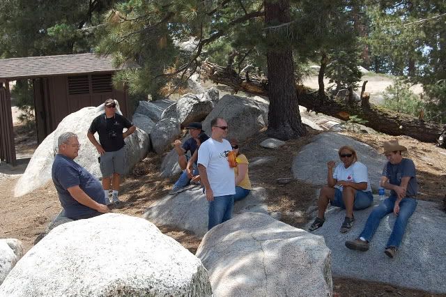
    Enjoying the cool weather with some locals.

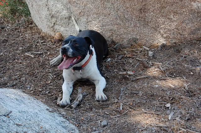
    Rosko resting after a game of fetch.

    Christian sniffing a tree...
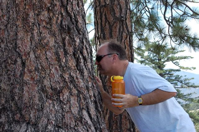

    Actually we were all amazed when Christian told us how this pine tree smelled like Vanilla.


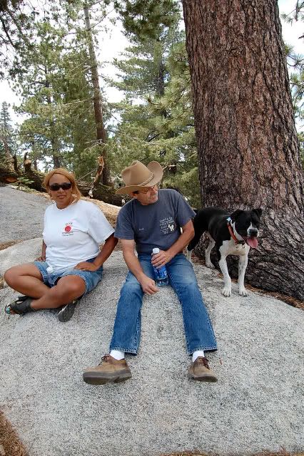
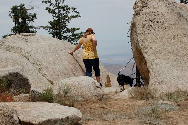
    Rosko making friends with the locals.

    What a view.

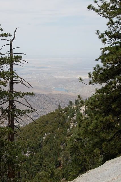
    Not sure what reservoir this is.

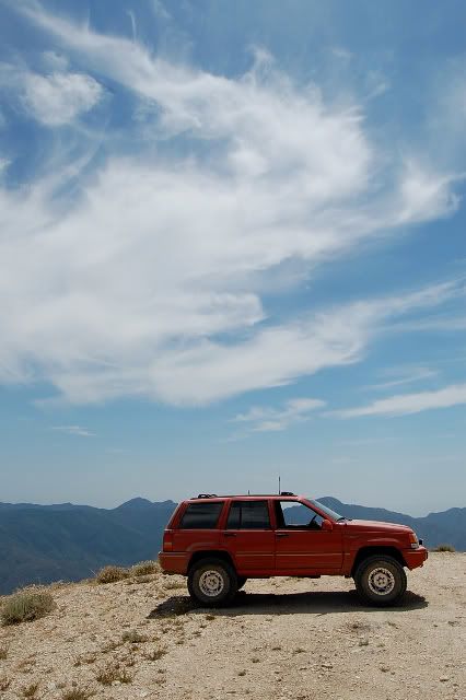
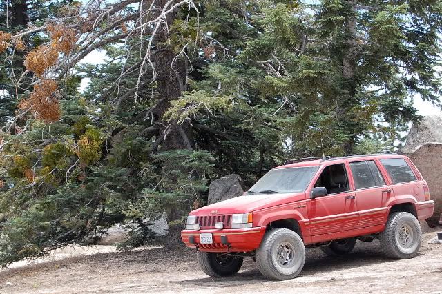
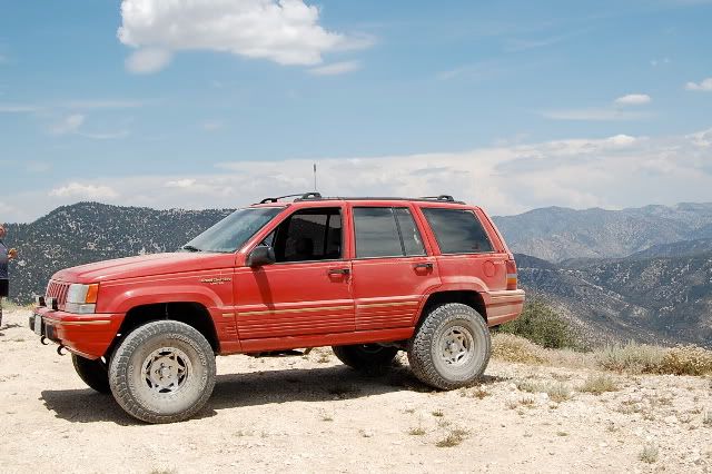
    I cant remember your name.. one of the many D names on the trip. But you have a photogenic ZJ.

    The wife's 4Runner got dirty for the first time.
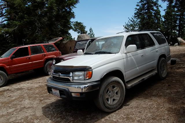

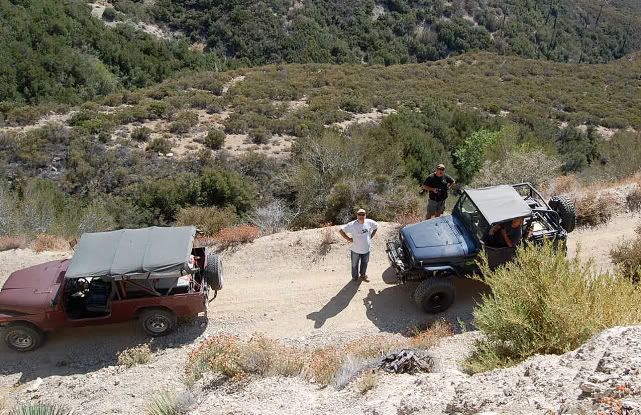
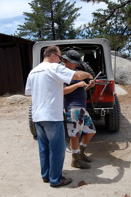
    Planning the next leg of the trip.

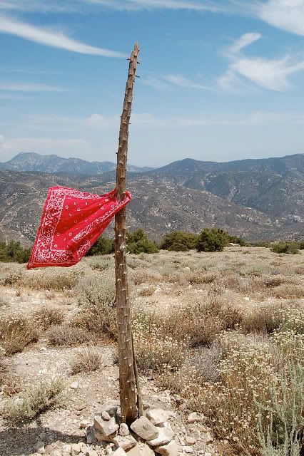
    The scenic vista.


    There was a cool breeze and cloud shadows would come and go.


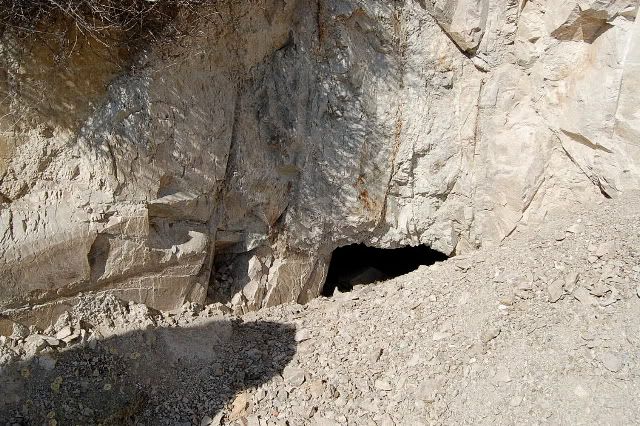
    The unnamed mine we stopped at on the way out.
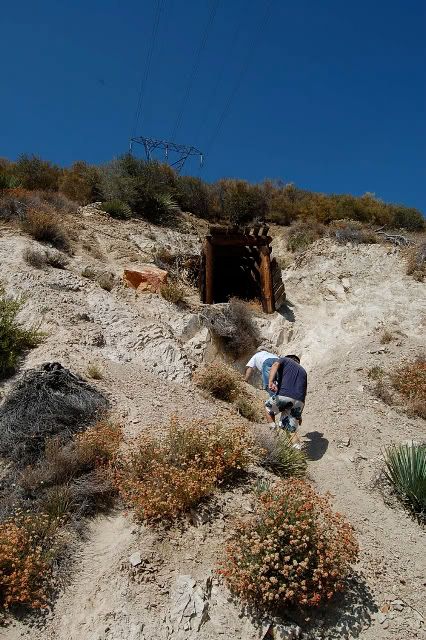

    This was the only opening. Looks like some effort was put into closing this one.

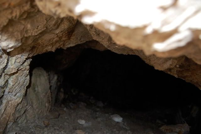
    I was able to stick my camera down into the hole and snap a few pictures.


    The drive back towards Oceanside.
    Those left standing
    Will make millions
    Writing books on ways
    It should have been
    -Incubus "Warning"

  • #2
    Great pics! Thanks

    Comment


    • #3
      Thank's for posting the pictures, Scott!

      We all met at Sport Chalet in La Canada and then stopped at the Arco station to make sure everyone had their tanks topped off. There were 5 vehicles in all.

      It was a leisurely 40 minute drive up Angeles Crest Highway to Newcomb's Ranch. We'd pull over from time-to-time for thrill seeking motorcycle riders and wild-eyed Miata owners.

      We'll need to keep in mind for the future that you can't get a burger and fries at Newcomb's Ranch until after 11:30am. That said, I really enjoyed my breakfast burrito and the "Egg McNewcomb" looked pretty tasty. We were treated to free soft drinks and refills as part of the pre-burger offering.

      As we were getting ready to leave Newcomb's Ranch, a Highway Patrol officer was pulling over the yellow motorcycle you see in the picture. The officer was really mad. As they came to a stop he yelled to the rider, "Don't even think about getting off!" After writing the ticket, I'm guessing that he ran this guy out of town and didn't let him socialize with his friends. We didn't stick around to see the end result. After all, we had some exploring to do!

      Just as we started up 3N21, a quick stop at the Chilao Visitor's Center allowed those who wanted one to pick up a map of the area or an Adventure Pass. It also offered an opportunity to learn more about the area in the museum-like diplays that they had. Some of these displays were pretty old judging from the sign on one that said, "Eight track player not working."

      From there we were off through a beautiful pine forest past the Chilao Station on 3N14 and then onto 3N17 to Mount Pacifico. It was a georgeous and very picturesque day out. It offered some welcome relief from the heat in the valleys below, with a gentle breeze that helped clear away some of the dust we were kicking up on the trail.

      Mount Pacifico is a wonderful place to camp. They have a couple of rest rooms there and there is no water, but it's a nicely wooded place with plenty of camp sites. It seems that most people just don't make it up that far.

      The reservoir that is seen in the distance looking toward the Antelepe Valley is the Little Rock Reservoir.

      Now, about this tree sniffing. Contrary to what you may think, this business of "tree sniffing" is not like "toad licking" or any other mind altering action. :omg:

      The bark on a Jeffrey Pine has the strong smell of vanilla. Once I explained this to everyone, it looked like a tree sniffing convention up there. I'm sure it looked like quite a freak show! One of the folks that we met up at the campground said that it really made him want a bowl of ice cream. 'Nuff said.

      Mount Pacifico is a great place to take a break. If it weren't so close to the time that we had brunch, it would have been a good place to stop for lunch with the shade and all of the picnic tables.

      The 360-degree view Scott mentions was reached by taking a spur road (3N90) to the left shortly past the spur road to Mount Pacifico. This takes you across Granite Mountain and arrives at Roundtop for a phemomenal view.

      We stopped here for lunch and enjoyed the view for a while.

      On the way back down 3N90, we took another little road through a nice stand of trees. It was a quick five minute side-trip, but had a different feel to it than the rest of what we had driven through.

      We continued down 3N17 toward Mill Creek Ranger Station. There were a whole new set of views from here and we were looking down upon the Angeles Forest Highway.

      Very close to the Mill Creek Ranger Station there is a road to the left, which takes you through an area with lots of young trees and a shady area that is quite scenic. That road loops back to the main road within five minutes and ends very close to where it starts. So, you don't miss anything and just get to see more.

      At the Mill Creek Ranger Station we took a break and got ready to run what would be the last stretch of trail for the day on 4N18. 4N18 starts at the Mill Creek Ranger Station Parking lot and ends at Upper Big Tujunga Canyon Rd.

      Since I was least familiar with 4N18 and had not run the last part of the trail, we had yjfor5 lead this part of our expedition. Out of all of us, he had the most familiarity with this trail.

      Most of 4N18 is quite easy. It travels up along the electrical towers and sometimes winds around down in the creek area. There are a couple of shallow water crossings.

      This is where we ran across the unnamed mine. We guessed that it had been deliberately closed. There was no "hole" within the wooden frame section that is visible from the road. The hole we did find, is below that spot and everything around it just looks like a pile of loose gravel. The hole we did find, was very small and we were neither equipped nor inclined to poke around any further. It just looked like an accident waiting to happen for anyone inexperienced in the exploration of old mines.

      There was only one steep part toward the end of our journey, which may have bordered on "moderate" going south on 4N18 past 2N23 (the connector to Monte Cristo Campground). That short segment just "felt better" in 4-wheel drive. It could have probably been easily run in 2-wheel drive with a little more speed and some minor slippage of the rear wheels, but that's what we have 4-wheel drive for, right?

      It was a nice easy trail run and quite appropriate for stock rigs and a desire for no carnage.

      I look forward to our next adventure in wheeling!

      Christian
      Last edited by headhunter; 07-26-09, 03:10 PM. Reason: Fixed typos
      "People demand freedom of speech to make up for the freedom of thought which they avoid." - Soren Aabye Kierkegaard (1813-1855)

      Comment


      • #4
        Nice pictures and write-up guy's. looks like a relaxing day.

        Comment


        • #5
          Nice Day

          First off, Thanks Christian for putting this together.I enjoyed meeting everyone. This was my 1st trip with MJR and won't be my last.. As for the trail it was fun not difficult by any means.. I will be going back with the kids to do some camping at Mt. Pacifico.. Thanks again Don

          Comment


          • #6
            Christian, at the top of that hill on 4N18 is a little spur road off to the left. If you park near the spur, there is another mine down the path to the left. At the end of the spur is another mine- the Lucky Strike (still active?) I believe.

            Good writeup guys. I have not been up there in awhile and you have inspired me to return!

            Comment


            • #7
              Originally posted by bruce p View Post
              Christian, at the top of that hill on 4N18 is a little spur road off to the left. If you park near the spur, there is another mine down the path to the left. At the end of the spur is another mine- the Lucky Strike (still active?) I believe.

              Good writeup guys. I have not been up there in awhile and you have inspired me to return!
              I actually saw quite a few spur roads to the left. There was one very early on just as we left the Mill Creek Ranger Station and that one looked more like an actual road. It's the first opportunity you have to veer left when running this from north to south.

              Is that the spur road you're talking about?

              I'm looking forward to going back and running all of the dirt roads that I can find on the other side of Angeles Forest Highway.

              I see that you're located "in the neighborhood." We'll have to get together and go out there sometime.

              Christian

              Christian
              "People demand freedom of speech to make up for the freedom of thought which they avoid." - Soren Aabye Kierkegaard (1813-1855)

              Comment


              • #8
                Sounds good. I'm always interested in a local run. The Rincon/ Shortcut trail is always fun.

                Comment


                • #9
                  Originally posted by bruce p View Post
                  Sounds good. I'm always interested in a local run. The Rincon/ Shortcut trail is always fun.
                  Unfortunately, SC Edison has the Rincon Shortcut closed until this Fall sometime. Check with the Ranger Station in Glendora before you make plans.
                  [COLOR=#ff8c00]MYJEEP(crawls)ROCKS(again).com

                  I have finally stopped drinking for good.
                  Now I drink for evil..... :devil:
                  [/COLOR]

                  Comment


                  • #10
                    Glad we made before it burned

                    :sad:I took the family up to Mt Pacifico a couple weeks after we did this run. It was for our first weekend of tent camping.. The have always had the comfort of a traler.. Well glad we made it up there. It looks like it has burned. So Sad.. This was and will be again a great place to camp and hike.

                    Comment


                    • #11
                      Originally posted by zjdon View Post
                      :sad:I took the family up to Mt Pacifico a couple weeks after we did this run. It was for our first weekend of tent camping.. The have always had the comfort of a traler.. Well glad we made it up there. It looks like it has burned. So Sad.. This was and will be again a great place to camp and hike.
                      I'm not sure if any of what we saw that day has survived. I think it may all be gone.

                      It will be interesting to see how long it will take for the forest to recover from this one.

                      Christian
                      "People demand freedom of speech to make up for the freedom of thought which they avoid." - Soren Aabye Kierkegaard (1813-1855)

                      Comment


                      • #12
                        If oyu guys decide to do this trail again, I would definately be interested.
                        thanks

                        Comment


                        • #13
                          I think you might be a bit too late there spdnjoe . . . I think the fire beat ya to it.
                          That which does not kill me postpones the inevitable.

                          Comment


                          • #14
                            Originally posted by Schmo View Post
                            I think you might be a bit too late there spdnjoe . . . I think the fire beat ya to it.
                            Are the trails closed, or did the fires erase the trails ?

                            Comment


                            • #15
                              Originally posted by spdnjoe View Post
                              Are the trails closed, or did the fires erase the trails ?
                              I'm really not sure, but usually when a fire goes thru, they shut the trails down.
                              That which does not kill me postpones the inevitable.

                              Comment

                              Working...
                              X