 Tweet
Tweet
Greg Hoffman put out an open invitation to all SBNFA OHV Volunteers and all SBNF OHV AAT Volunteers to join him for a trail maintenance day on 1S09. 1S09 is an administrative trail only and it is not open to the public.
There were 12 Jeeps that met Greg at the Mill Creek Ranger Station at 9am. My Jeep is disassembled on the driveway so I rode with Stephan.
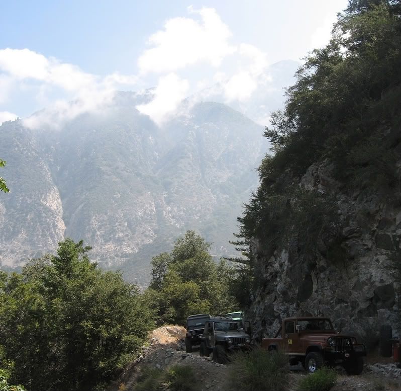
We crossed Mill Creek at the entrance to Forest Falls and made our way through 2 gates onto National Forest land on 1S08. The trail climbed steadily up through a dense canopy. We drove past a stand of old growth Cedar trees that was amazing. When we finally reached the ridge we found 1S09 and we headed southwest.
Once on the southern edge of the ridge we found less trees and more chaparral. We stopped to explore the Yucaipa Ridge Forebay (a small pond) that feeds the Mill Creek Hydroelectric plant. When the Mill Creek No.1 project began generating electricity on September 7, 1893, it was the first commercial use of 3-phase alternating current generators in the United States. http://www.ieee.org/web/aboutus/hist...ill_creek.html
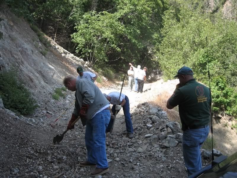
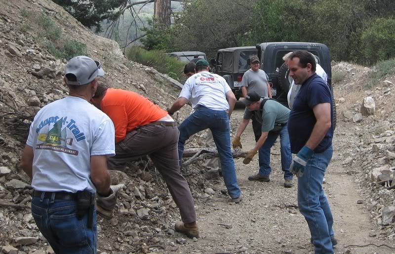
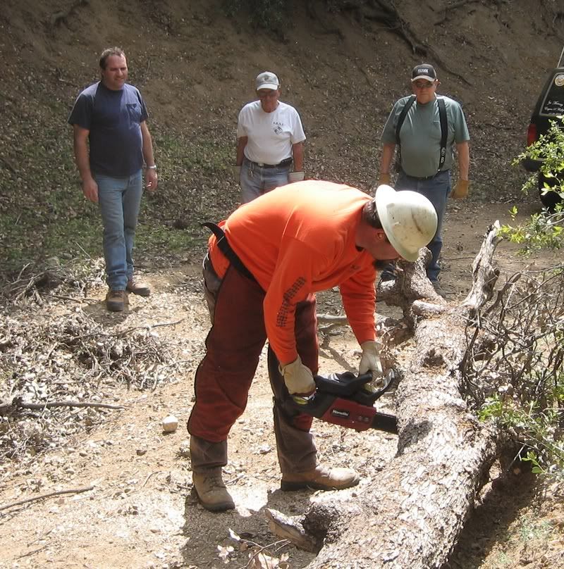
Leaving the forebay we headed northeast on 1S09 towards Oak Glen. We found many areas that trees and sand/rocks had slid down covering the road. We cleaned these areas enough so that vehicles could safely pass.
We arrived in Oak Glen at 3:30pm. We said our good-byes and all headed in different directions. Another fabulous day on the forest.
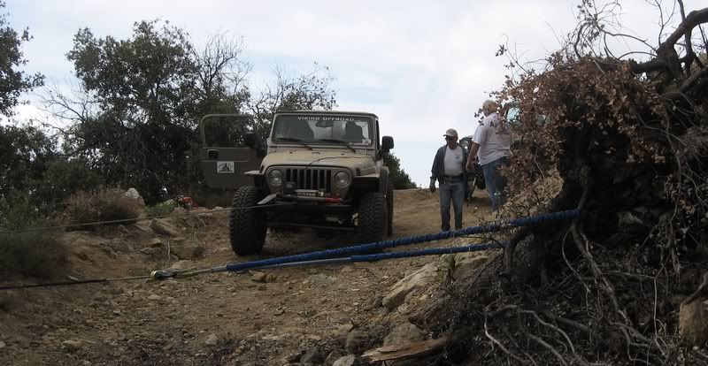
Greg sharing his wisdom of the local area.

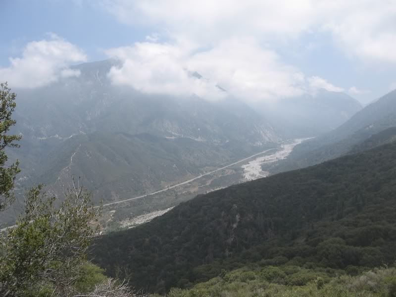
Looking down on Hwy 38 as it heads for Forest Falls/Angeles Oaks
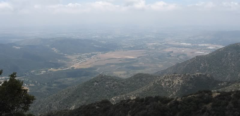
High above Yucaipa and Oak Glen
There were 12 Jeeps that met Greg at the Mill Creek Ranger Station at 9am. My Jeep is disassembled on the driveway so I rode with Stephan.
We crossed Mill Creek at the entrance to Forest Falls and made our way through 2 gates onto National Forest land on 1S08. The trail climbed steadily up through a dense canopy. We drove past a stand of old growth Cedar trees that was amazing. When we finally reached the ridge we found 1S09 and we headed southwest.
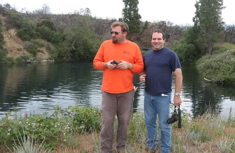
Once on the southern edge of the ridge we found less trees and more chaparral. We stopped to explore the Yucaipa Ridge Forebay (a small pond) that feeds the Mill Creek Hydroelectric plant. When the Mill Creek No.1 project began generating electricity on September 7, 1893, it was the first commercial use of 3-phase alternating current generators in the United States. http://www.ieee.org/web/aboutus/hist...ill_creek.html
Leaving the forebay we headed northeast on 1S09 towards Oak Glen. We found many areas that trees and sand/rocks had slid down covering the road. We cleaned these areas enough so that vehicles could safely pass.
We arrived in Oak Glen at 3:30pm. We said our good-byes and all headed in different directions. Another fabulous day on the forest.
Greg sharing his wisdom of the local area.
Looking down on Hwy 38 as it heads for Forest Falls/Angeles Oaks
High above Yucaipa and Oak Glen
Comment