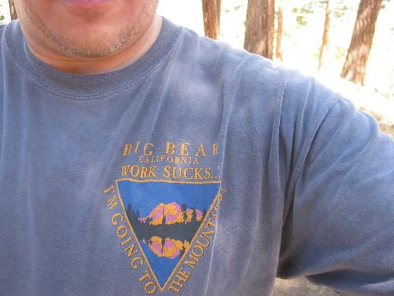
Today is my birthday and I have spent way too many birthdays at work. This year, I decided to change that trend. I took the day off, prepped the Jeep for a run, and donned one of my favorite shirts to set the mood:
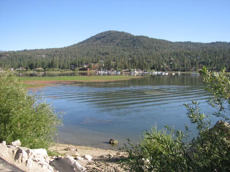
My co-pilot, my wife Sharon, couldnít get the day off, so I gave her a written plan of my trip (just in case), and headed up the mountains to Fawnskin. I got to the area around 8:30am and the lake and marina were quite tranquil:
The goal of the day was to explore some trails that I havenít been on before and to just get away and re-set the internal gauges. The weather was perfect. It was cool in the morning and never really got hot all day. The sky was clear and blue with a few puffy clouds developing later in the day. No storm clouds, but there were plenty of puddles to show that Monday wasnít the same.
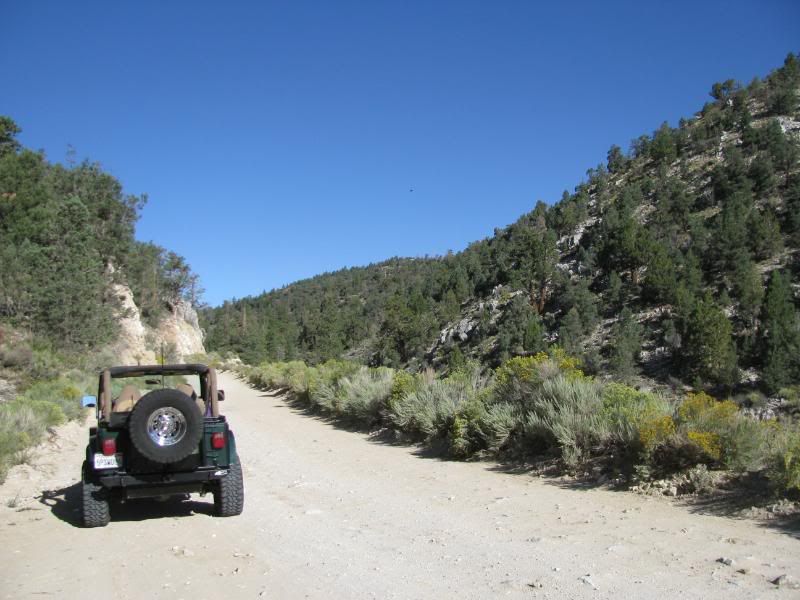
I turned up Van Dusen Canyon Road (3N09) and aired down when it turned to dirt:
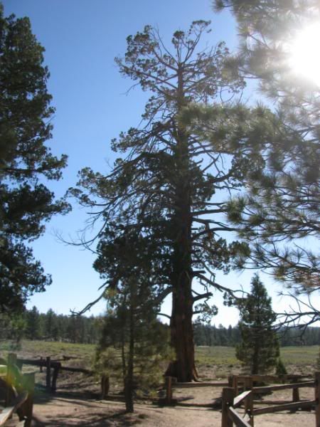
At 3N16, I took the 3N05 loop. Yeah, I know, it is the most common tour in the mountains, but I havenít driven it. I saw the Hangmanís Tree:
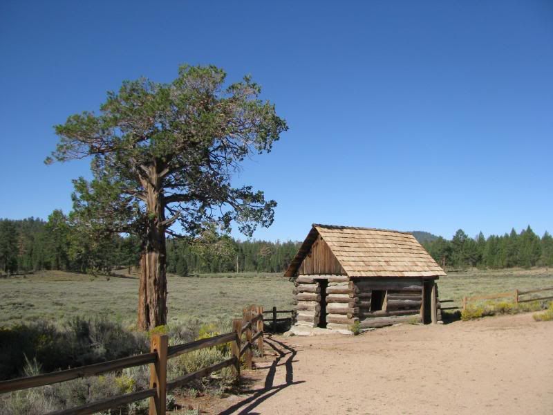
And the old site of Bellevill:
Off of 3N16, I took 3N76 in an effort to loop around past the Tanglewood group camp, but the road doesnít go there any more. There were tight places and many fallen trees before I finally got to this trail blockage:
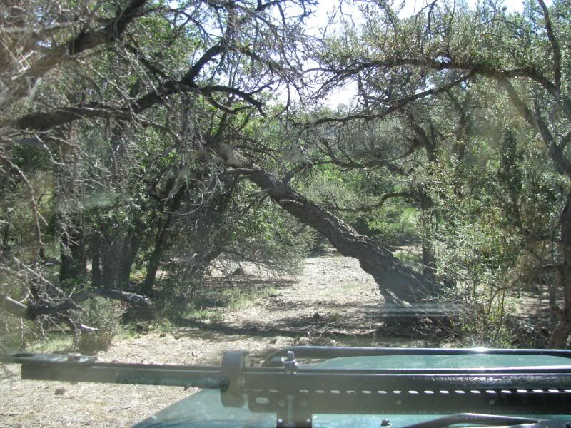
I thought about winching the tree out of the way, but I decided to walk the trail a little further first. It was blocked by more trees down, so I just turned back. This trail needs some work!
Next I took 3N02 all the way to itís end. Iíve been down the trail to where 3N10 starts several times, but I have never taken it down to the mines that I have heard are at itís end. Today was the perfect day for it.
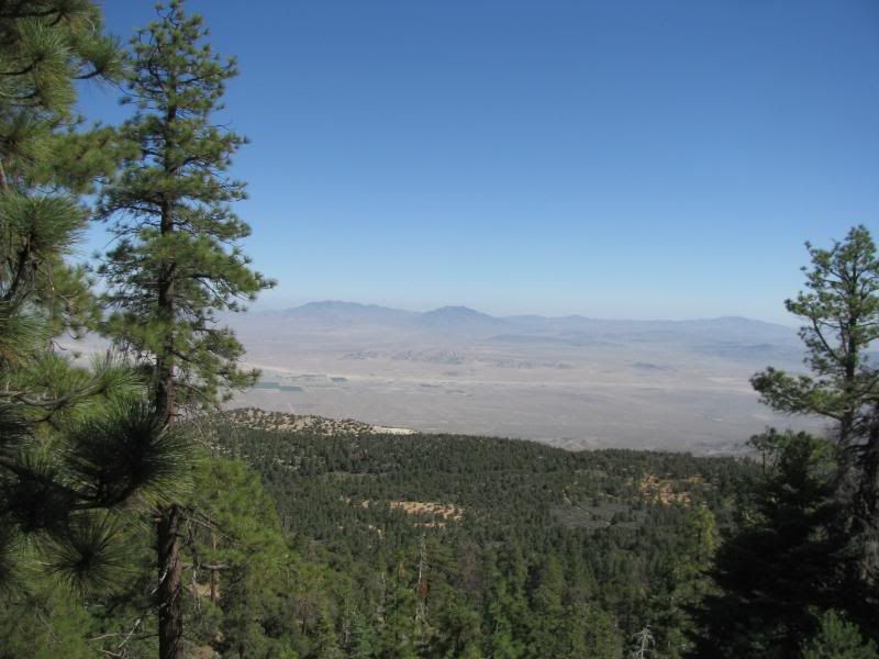
Along the way, there are some great views of the transition from forest to desert:
I got to the end but didnít find the old mines that I expected:

But just over the cliff, I found a mine that was more than I expected:

I went back up to 3N10 and ran the trail in 2WD until I came to this spot:
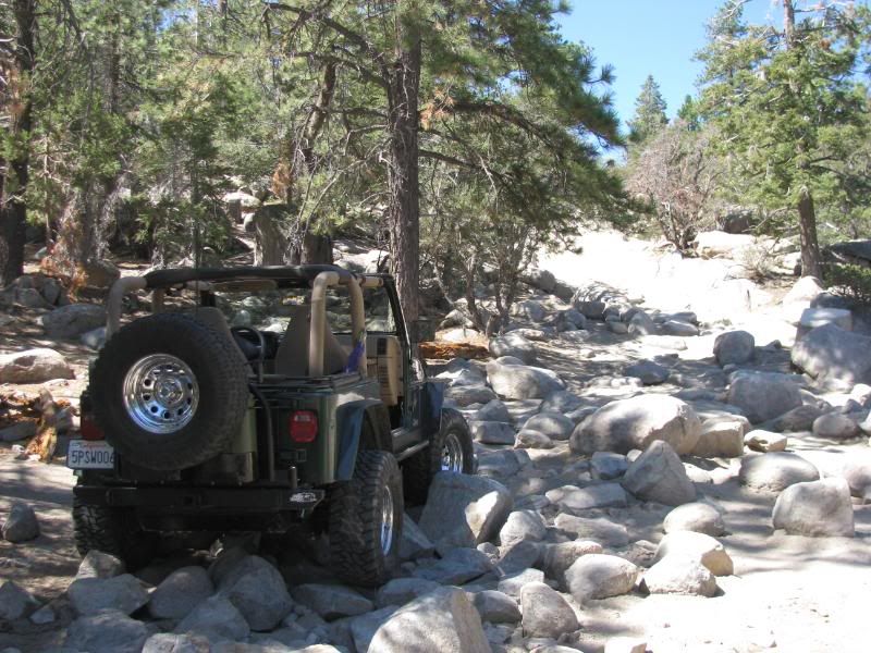
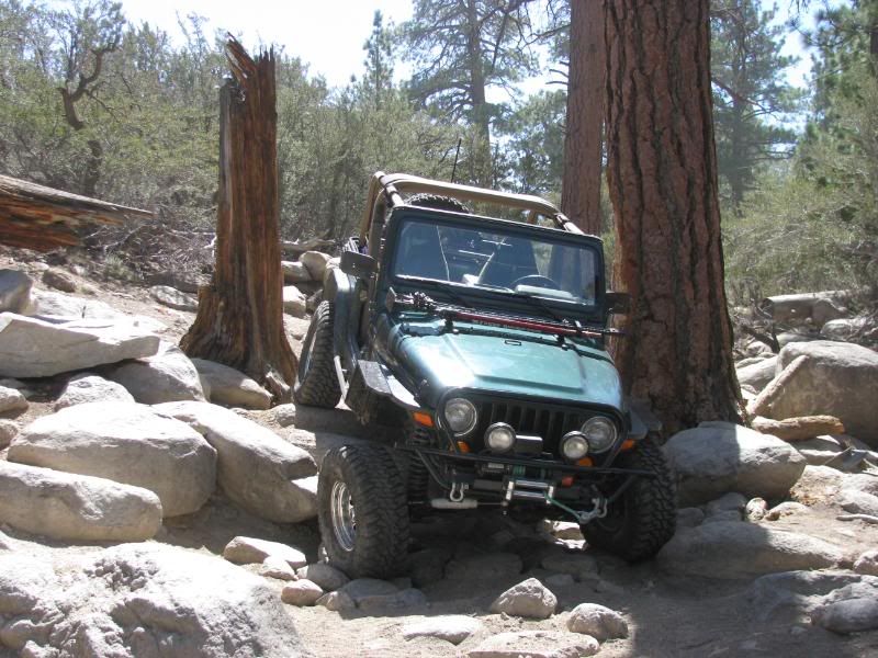
I PROMISED Sharon that I wouldnít try anything too hard and that I wouldn't try anything harder than John Bull. Itís a fun little trail, but I stuck to the easy lines since I was alone:
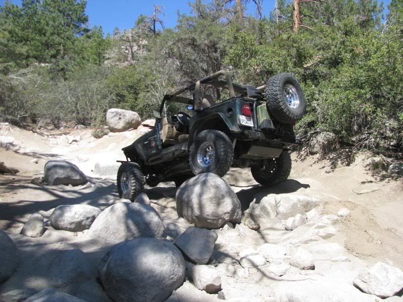
ďMost drivers donít come for the sceneryĒ - Charles Wells:
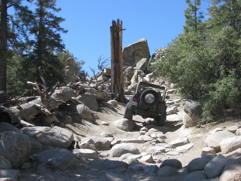
I didnít have much trouble with the boulder field:
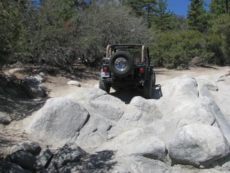
What was very cool was that since it had rained the previous day, the tracks were faded or gone. Mr. Green made the only clear tracks on the trail:
Afterward, I tried to take 3N83 over to 3N16, but I took a wrong turn and found a mine that over looked a great view of the San Gabriel Mtns:
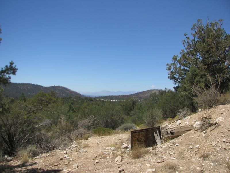
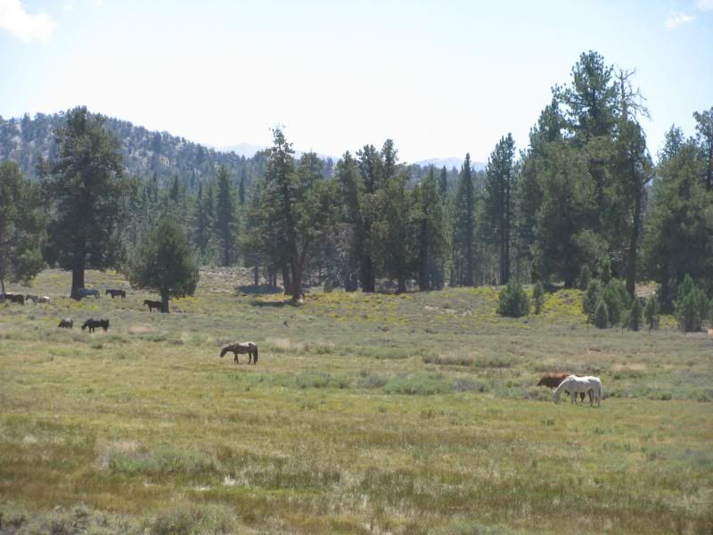
I wandered a bit trying to find the right trail but the intersections are not marked. I ended up coming down to 3N16 on 3N82 instead of following 3N83 all the way. It dropped me out at the horse ranch on 3N16. I forgot that the ranch was there:
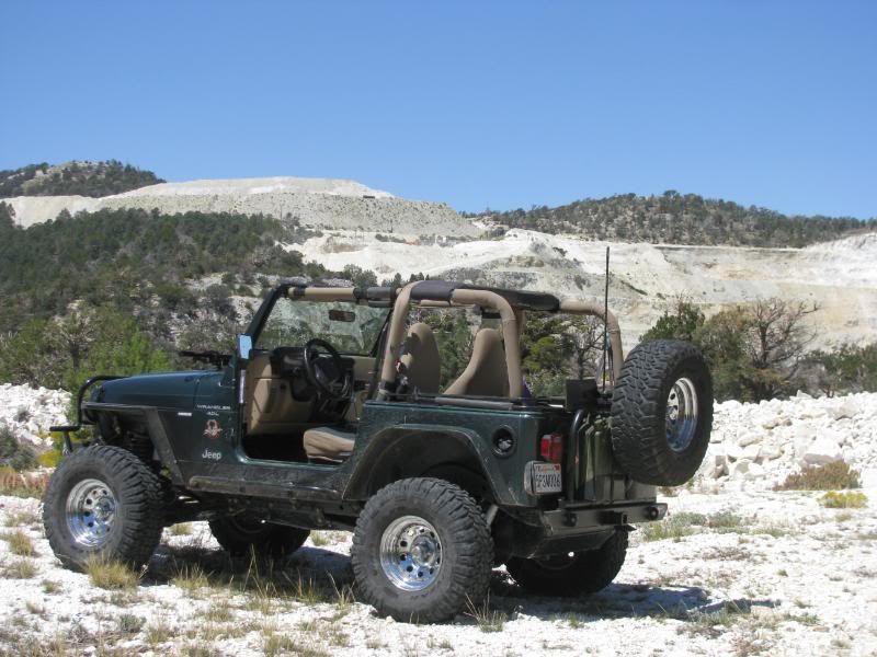
I noticed that the 3N54 and 3N87 trails made a loop off of 3N16 and that the FS has them marked as 4WD on my map, so I headed up 3N54 to see what was there. The trail never required me to put Mr. Green into 4WD, but it led to a cool view of the big strip mine in the area:
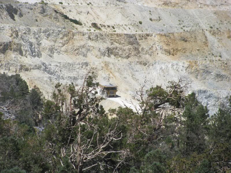
I zoomed in to catch a shot of one of the gigantic trucks coming down from the top:
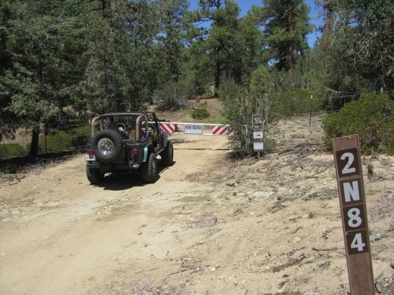
3N87 is gated, so I back tracked to 3N12 and then down to 2N84, one of MJRís Adopt-A-Trails. The gate is still closed. I had lunch before moving on:
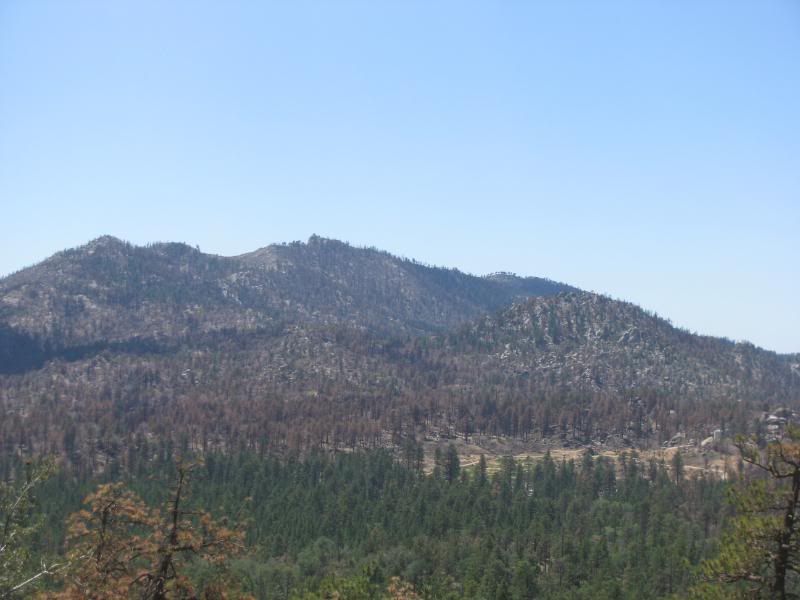
I have heard that the Delmar Mountain trail (3N80) should be rated Black Diamond so I wanted to see for myself. As I climbed the trail, there were some interesting views that showed the damage from the Butler 2 fire. This is Butler Peak, look carefully and you can see the Fire Watch Tower:
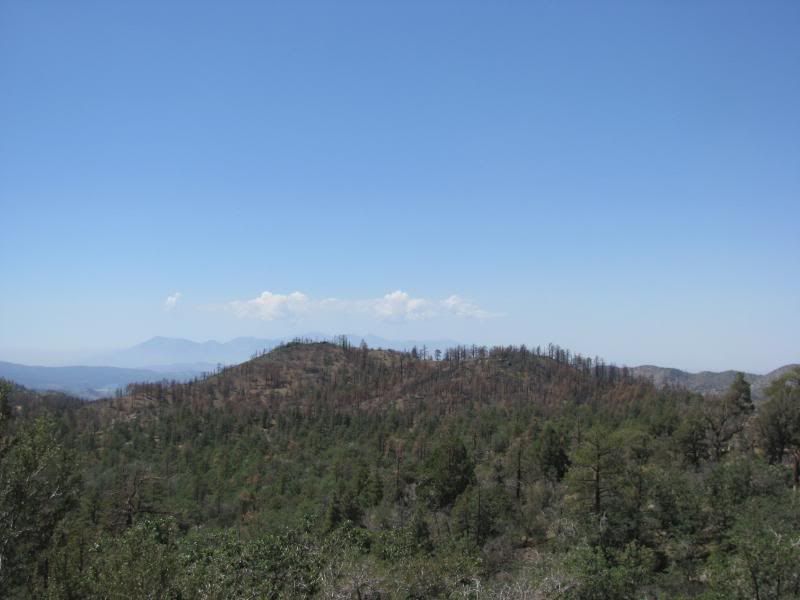
Little Bear Peak is burnt badly:
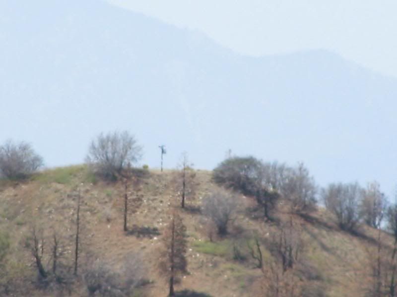
Even so, it looks like the MJR Signpost is still standing:
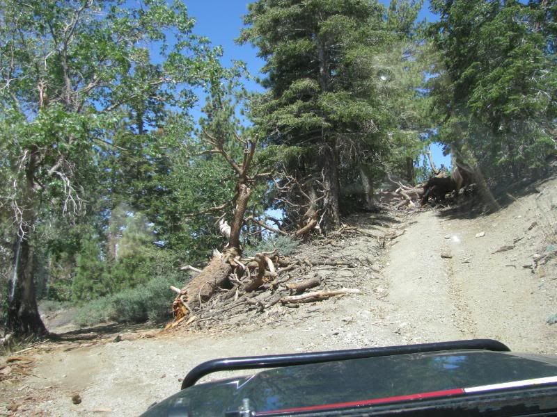
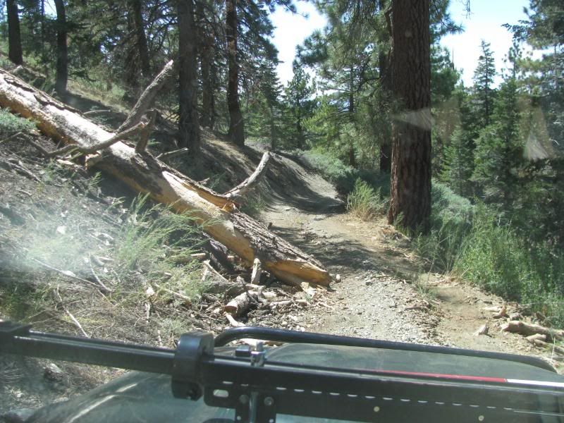
The Delmar Mtn trail is in need of maintenance. There are several downed trees on or near the trail:
The trail leads to a great high spot. I didnít realize that the trail ended and didnít notice the faded turn-around tracks, so I started to climb the trail up a steep incline toward the top of the mountain. After about 100 feet, I stopped when I realized that the trail was blocked by a downed tree:
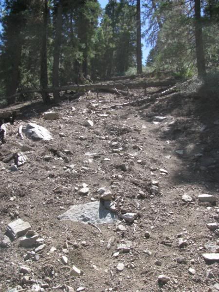
I put it in reverse and used the 4Low gears to back me back down. The slope was at this steep of an angle:
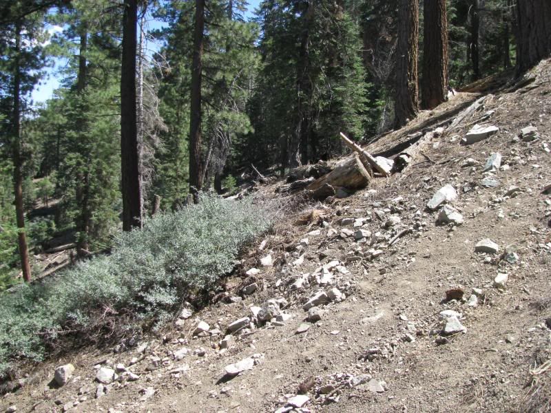
So it was a bit hairy. I hiked up the trail a way and it became obvious that this part of the trail had fallen into disuse years ago.
I turned around and took a very steep turn off down hill. It was a loose trail that made me careful to stay away from the brake along the way. The trail came out on 3N12 on a trail that was not marked from that intersection. Since I hadnít been on 3N80 before, I decided to run it back the other direction. When I got to the base of the steep, loose climb, I locked both diffs, and picked a gear for the climb:
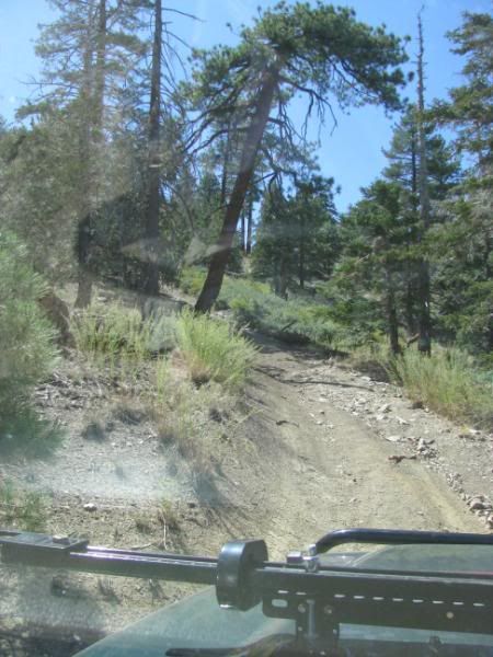
I bit of spinning near the top made me nervous for a moment, but Mr. Green kept climbing. This part of the trail should definitely be considered Black Diamond in comparison to other steep trails like Craft's Peak or Heart Bar Peak.
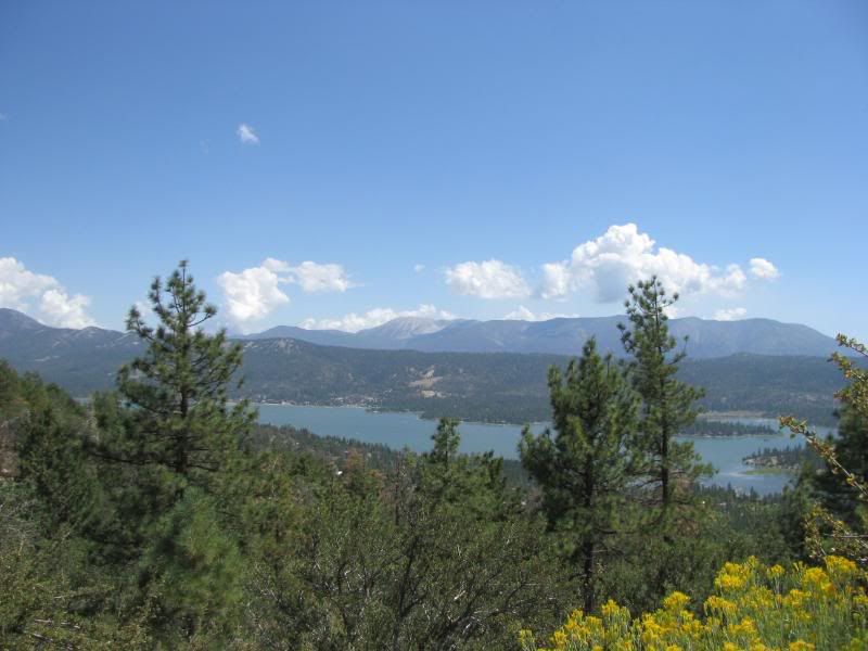
The trip back down was pleasant and I took 2N71 over to Poligue Cyn road (2N09). Along the way there are some wonderful views of Big Bear Lake and San Gorgonio:
I made it down the mountain to my home in time to get a shower and get ready to go to an excellent dinner with Sharon.
It was a wonderful day. The only way that it could have been better is if my wife could have been with me. It was a great way to spend a birthday. I may have to plan for the day off again next year!
All my pics from the day can be seen at this link:
http://s139.photobucket.com/albums/q...%2008/?start=0

My co-pilot, my wife Sharon, couldnít get the day off, so I gave her a written plan of my trip (just in case), and headed up the mountains to Fawnskin. I got to the area around 8:30am and the lake and marina were quite tranquil:

The goal of the day was to explore some trails that I havenít been on before and to just get away and re-set the internal gauges. The weather was perfect. It was cool in the morning and never really got hot all day. The sky was clear and blue with a few puffy clouds developing later in the day. No storm clouds, but there were plenty of puddles to show that Monday wasnít the same.
I turned up Van Dusen Canyon Road (3N09) and aired down when it turned to dirt:

At 3N16, I took the 3N05 loop. Yeah, I know, it is the most common tour in the mountains, but I havenít driven it. I saw the Hangmanís Tree:

And the old site of Bellevill:

Off of 3N16, I took 3N76 in an effort to loop around past the Tanglewood group camp, but the road doesnít go there any more. There were tight places and many fallen trees before I finally got to this trail blockage:

I thought about winching the tree out of the way, but I decided to walk the trail a little further first. It was blocked by more trees down, so I just turned back. This trail needs some work!
Next I took 3N02 all the way to itís end. Iíve been down the trail to where 3N10 starts several times, but I have never taken it down to the mines that I have heard are at itís end. Today was the perfect day for it.
Along the way, there are some great views of the transition from forest to desert:

I got to the end but didnít find the old mines that I expected:

But just over the cliff, I found a mine that was more than I expected:

I went back up to 3N10 and ran the trail in 2WD until I came to this spot:

I PROMISED Sharon that I wouldnít try anything too hard and that I wouldn't try anything harder than John Bull. Itís a fun little trail, but I stuck to the easy lines since I was alone:

ďMost drivers donít come for the sceneryĒ - Charles Wells:

I didnít have much trouble with the boulder field:

What was very cool was that since it had rained the previous day, the tracks were faded or gone. Mr. Green made the only clear tracks on the trail:

Afterward, I tried to take 3N83 over to 3N16, but I took a wrong turn and found a mine that over looked a great view of the San Gabriel Mtns:

I wandered a bit trying to find the right trail but the intersections are not marked. I ended up coming down to 3N16 on 3N82 instead of following 3N83 all the way. It dropped me out at the horse ranch on 3N16. I forgot that the ranch was there:

I noticed that the 3N54 and 3N87 trails made a loop off of 3N16 and that the FS has them marked as 4WD on my map, so I headed up 3N54 to see what was there. The trail never required me to put Mr. Green into 4WD, but it led to a cool view of the big strip mine in the area:

I zoomed in to catch a shot of one of the gigantic trucks coming down from the top:

3N87 is gated, so I back tracked to 3N12 and then down to 2N84, one of MJRís Adopt-A-Trails. The gate is still closed. I had lunch before moving on:

I have heard that the Delmar Mountain trail (3N80) should be rated Black Diamond so I wanted to see for myself. As I climbed the trail, there were some interesting views that showed the damage from the Butler 2 fire. This is Butler Peak, look carefully and you can see the Fire Watch Tower:

Little Bear Peak is burnt badly:

Even so, it looks like the MJR Signpost is still standing:

The Delmar Mtn trail is in need of maintenance. There are several downed trees on or near the trail:


The trail leads to a great high spot. I didnít realize that the trail ended and didnít notice the faded turn-around tracks, so I started to climb the trail up a steep incline toward the top of the mountain. After about 100 feet, I stopped when I realized that the trail was blocked by a downed tree:

I put it in reverse and used the 4Low gears to back me back down. The slope was at this steep of an angle:

So it was a bit hairy. I hiked up the trail a way and it became obvious that this part of the trail had fallen into disuse years ago.
I turned around and took a very steep turn off down hill. It was a loose trail that made me careful to stay away from the brake along the way. The trail came out on 3N12 on a trail that was not marked from that intersection. Since I hadnít been on 3N80 before, I decided to run it back the other direction. When I got to the base of the steep, loose climb, I locked both diffs, and picked a gear for the climb:

I bit of spinning near the top made me nervous for a moment, but Mr. Green kept climbing. This part of the trail should definitely be considered Black Diamond in comparison to other steep trails like Craft's Peak or Heart Bar Peak.
The trip back down was pleasant and I took 2N71 over to Poligue Cyn road (2N09). Along the way there are some wonderful views of Big Bear Lake and San Gorgonio:

I made it down the mountain to my home in time to get a shower and get ready to go to an excellent dinner with Sharon.
It was a wonderful day. The only way that it could have been better is if my wife could have been with me. It was a great way to spend a birthday. I may have to plan for the day off again next year!
All my pics from the day can be seen at this link:
http://s139.photobucket.com/albums/q...%2008/?start=0

Comment