I have been in Arizona and I am headed to a conference in Keystone, CO. The shortest route would be through Flagstaff, Tuba City, Kayenta, Moab and then via I-70, but I decided to go through Durango, Silverton, Ouray, and get on I-70 at Grand Junction, CO. It would be about 90 miles longer, but it would give me chance to travel through parts of Colorado that I've only seen from an airplane. I also decided to pass through the Navajo Reservation and visit the Four Corners Monument. So I used Google Maps and my Garmin GPS to plan the route. The Garmin route took me across a 15 mile long dirt segment on the Navajo Reservation
Click this link to see where I got stuck:
http://maps.google.com/maps/ms?ie=UT...,0.079565&z=14
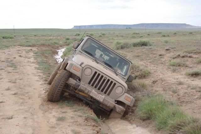
There were heavy thundershowers the night before, but when I got to the dirt segment, a Toyota Camry came out of the route, so I figured it was OK for my Jeep. There were a few muddy spots in the road, but I was able to get through them in 4WD, until I came to a flooded section in the road (see the [color=blue]blue[/color] marker on the map). I got out of my Jeep to look for a bypass (and slipped in ankle deep [COLOR="brown"]MUD[/COLOR]) :-[. Meanwhile, a pickup truck traveling in the other direction arrived at the other side of the flooded area. The pickup driver found a bypass to the north of the road that required crossing two ditches. I attempted to retrace his route, and as you can see, I did not make it across the second ditch. I unloaded my Jeep, aired down my tires and was shoveling dirt (and [COLOR="brown"]MUD[/COLOR]) to try to level my Jeep when the rancher came by in his pickup and pulled me out. I continued to the Four Corners Monument and made it to Durango, CO for the night.
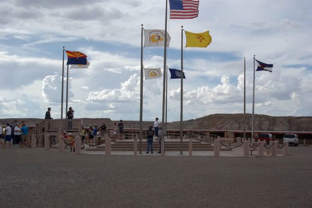
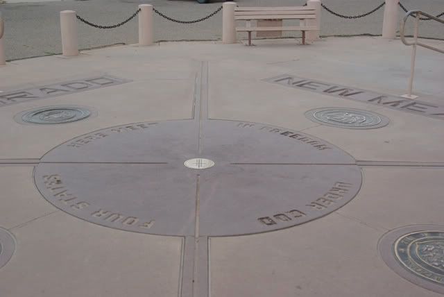
Four Corners Monument:


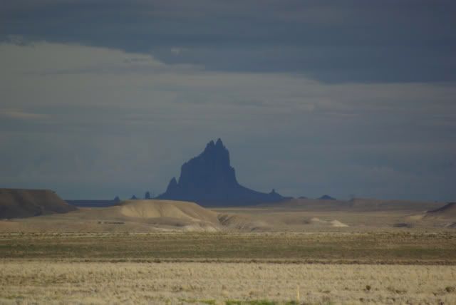
Shiprock, NM:

Comment