Sharon and I went camping in the Lake Cachuma area north of Santa Barbara over the weekend. It was a great weekend. The area was beautiful and littered with lots of flowers in bloom. Although the weather in the Inland Empire was very hot, the temperature at the lake didn't rise above 85 degrees.
On the way home, we decided to check out a trail listed in the Charles Wells book as "Santa Ynez Peak". It runs along the ridge of the range north of Santa Barbara, so I wanted to see if we could get some nice pictures. Mr. Wells says that it is an easy trail that is listed as easier than Mule Canyon Road in Calico.
For the majority of the trail, it is. The beginning and the end of the trail is paved road, badly paved, but paved none the less. We entered the trail from US 101 at Refugio Road. The sign says that the road ends in 7 miles, and it does, but you turn off of Refugio onto West Camino Cielo Road just before the closure.
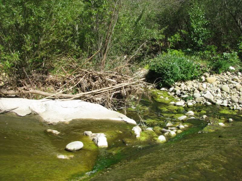
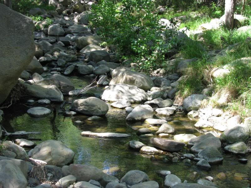
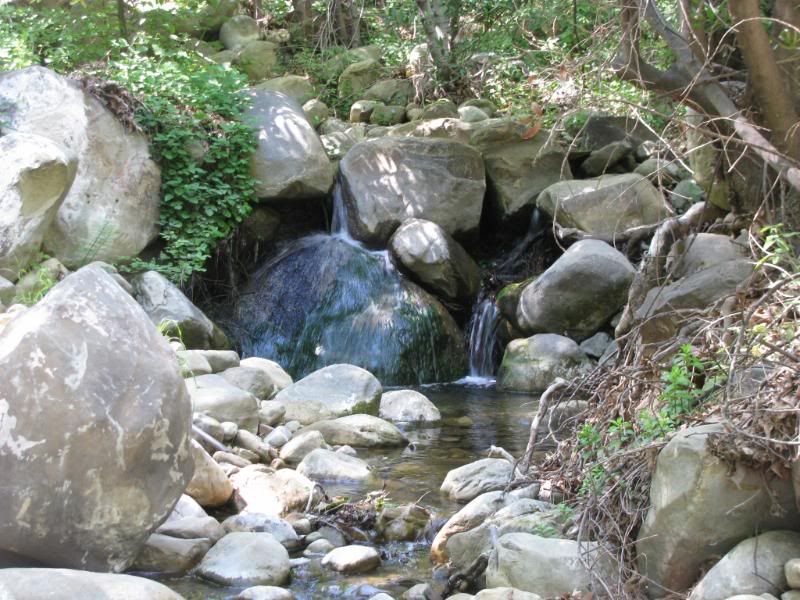
Refugio Road steeply climbs the side of the mountain range and passes the old Reagan Ranch near the top. On the way up the road, we passed several rocky creeks:
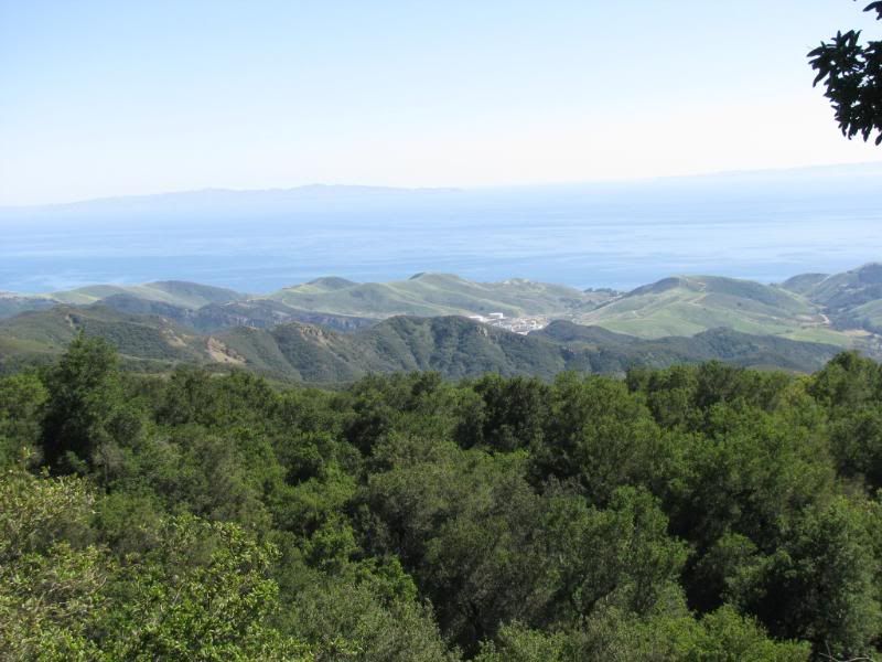
Soon after we turned off onto West Camino Cielo, the views of the ocean and the Channel Islands in the distance opened up:
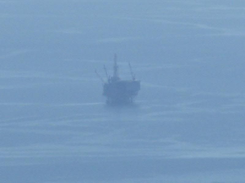
An oil rig on max zoom for our camera:
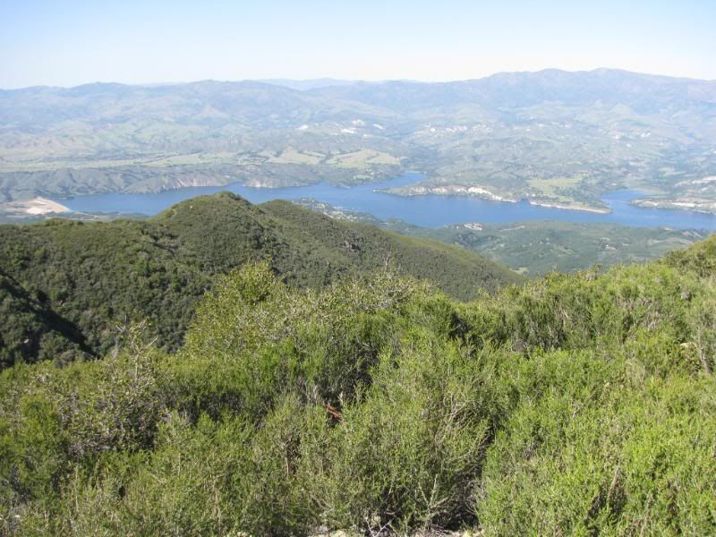
Soon the pavement ended and the dirt road continued. About this point, we started getting some nice views down on Lake Cachuma:
Mr. Wells hasn't driven this trail in a while it seems. This trail is very rocky and very rutted in places. He says that any stock SUV with high ground clearance can do the trail, and it can - but it isn't as easy as you might think:
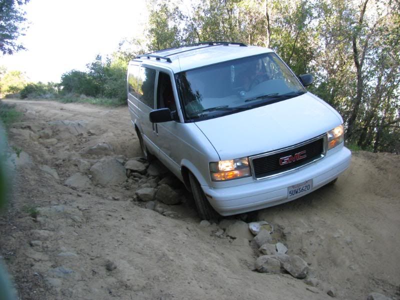
Oh yeah... Did I mention that I didn't take the Jeep? Heavily loaded, 2003 GMC Safari vans have more flex and ground clearance than I ever thought!
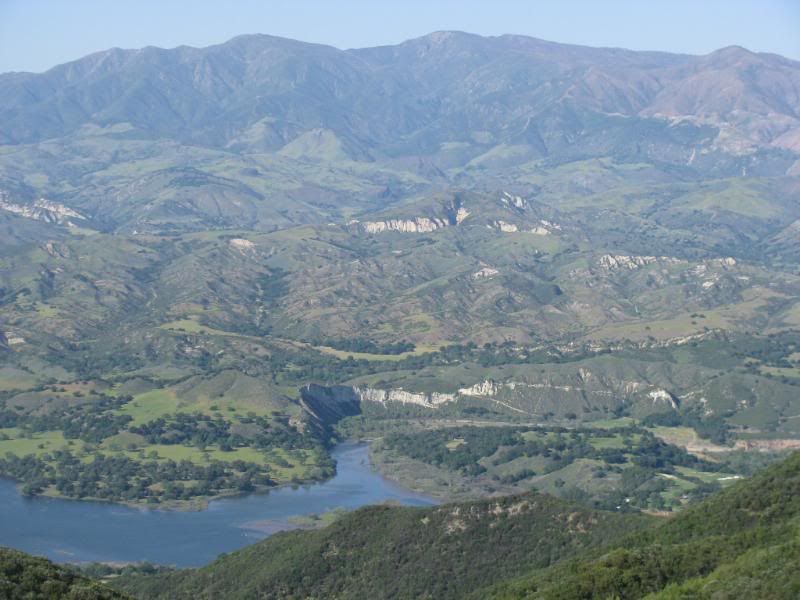
Near the end of the dirt portion of the trail, we caught a good view of the area that we had camped the two nights before:
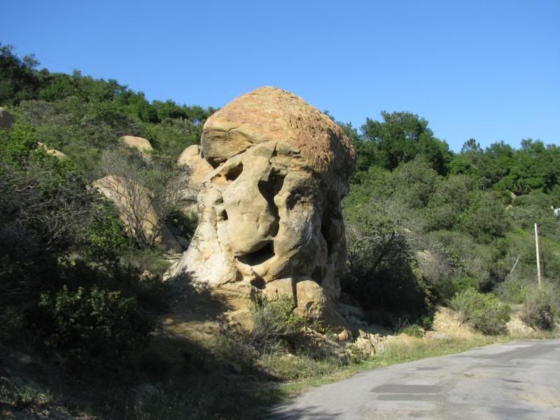
After you get back onto the rough pavement, and before you get to Hwy 154, there is a cool eroded rock formation:
It was a great trip. Most of our pics, including the ones around the camp area on Lake Cachuma, can be seen at this link:
http://s139.photobucket.com/albums/q...12-08/?start=0
On the way home, we decided to check out a trail listed in the Charles Wells book as "Santa Ynez Peak". It runs along the ridge of the range north of Santa Barbara, so I wanted to see if we could get some nice pictures. Mr. Wells says that it is an easy trail that is listed as easier than Mule Canyon Road in Calico.
For the majority of the trail, it is. The beginning and the end of the trail is paved road, badly paved, but paved none the less. We entered the trail from US 101 at Refugio Road. The sign says that the road ends in 7 miles, and it does, but you turn off of Refugio onto West Camino Cielo Road just before the closure.
Refugio Road steeply climbs the side of the mountain range and passes the old Reagan Ranch near the top. On the way up the road, we passed several rocky creeks:


Soon after we turned off onto West Camino Cielo, the views of the ocean and the Channel Islands in the distance opened up:

An oil rig on max zoom for our camera:

Soon the pavement ended and the dirt road continued. About this point, we started getting some nice views down on Lake Cachuma:

Mr. Wells hasn't driven this trail in a while it seems. This trail is very rocky and very rutted in places. He says that any stock SUV with high ground clearance can do the trail, and it can - but it isn't as easy as you might think:

Oh yeah... Did I mention that I didn't take the Jeep? Heavily loaded, 2003 GMC Safari vans have more flex and ground clearance than I ever thought!
Near the end of the dirt portion of the trail, we caught a good view of the area that we had camped the two nights before:

After you get back onto the rough pavement, and before you get to Hwy 154, there is a cool eroded rock formation:

It was a great trip. Most of our pics, including the ones around the camp area on Lake Cachuma, can be seen at this link:
http://s139.photobucket.com/albums/q...12-08/?start=0
 Especailly when you've got a Jeep!!! Looks like a fun little trail . . . might be fun to run that trail, and then hit Chumash Casino for a little blackjack, while up there. Would probably be a fun date type of trip . . . I might need to take a break from wheelin' and wrenchin' and find me a woman!!!
Comment