 Tweet
Tweet
Death Valley Area – Trail Report April 4-6, 2008
DAY ONE - Friday
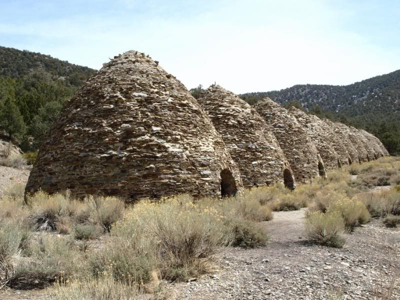
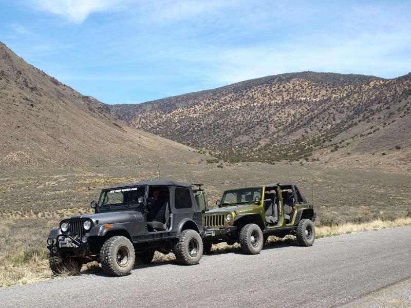
Sharon and I met Dirtman13 (Chuck) and Dr. Dirty (Scott) in the Wildrose campground of Death Valley National Park on Friday afternoon. They went up that morning and had explored the Charcoal Kilns and the old Superintendent’s house before we arrived. I’m sure that they will posts pics of their earlier adventures soon.
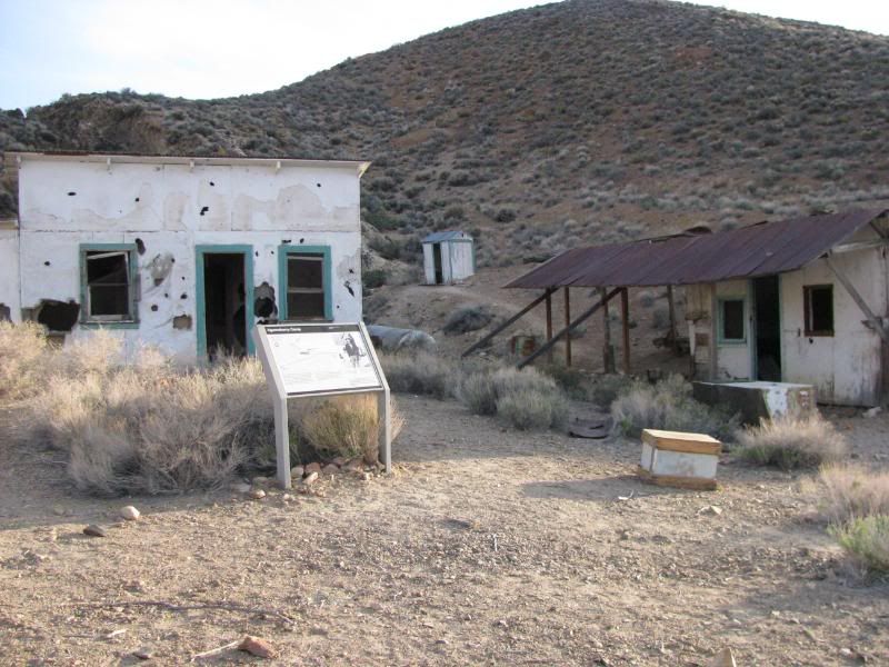
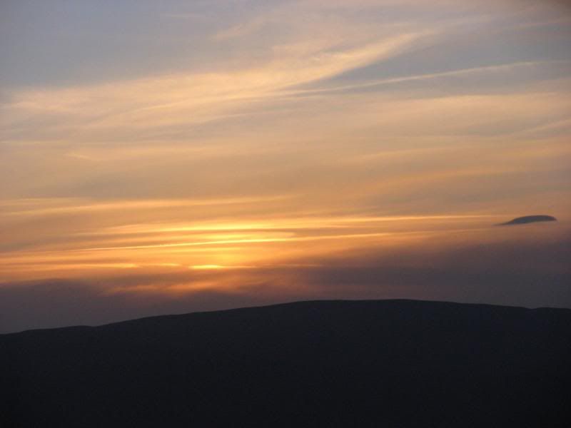
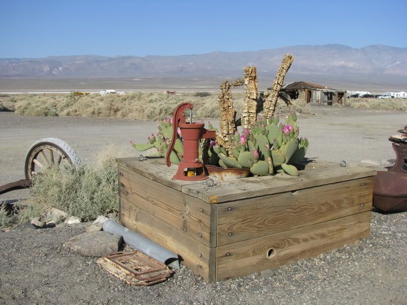
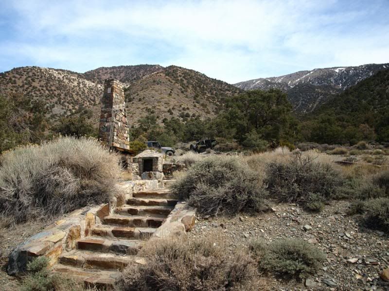
After we arrived, we set up camp quickly and then headed out to Aguereberry Point to catch some sunset pics. We stopped at Aguereberry Camp and Mine on the way:
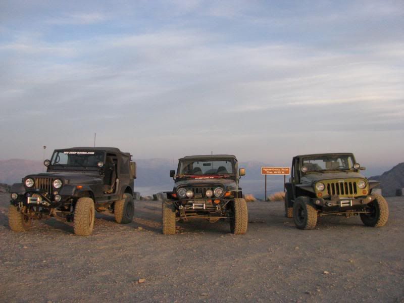
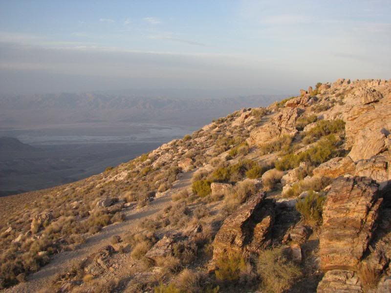
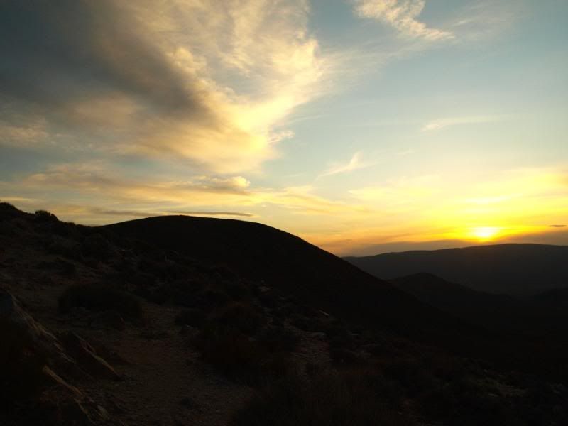
We then climbed up to Aguereberry Point just before sunset for some great views and pics:
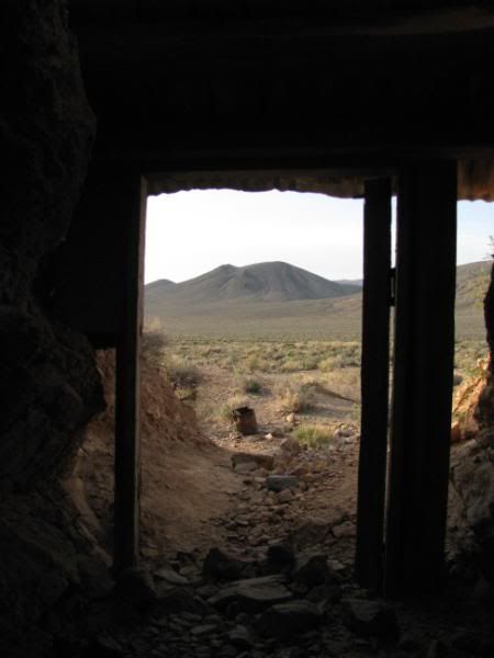
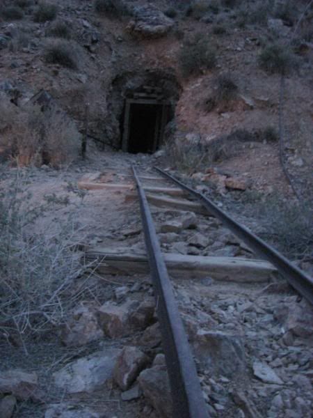
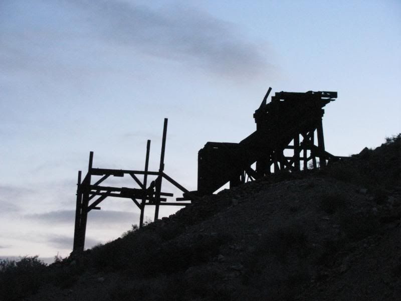
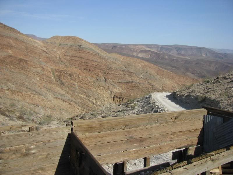
On the way back, we explored the Eureka Mine in the twilight:
DAY TWO – Saturday
We woke up early and headed to Panamint Springs for gas. Ouch! Over $5 a gallon! A Land Rover club was staging at the gas station for a variety of runs for the day. We were headed for the Hunter Mountain / Racetrack Loop and none of their runs were going our way. I thought of it as lucky for us only because it was a really big group, probably 35 or 40 rigs.
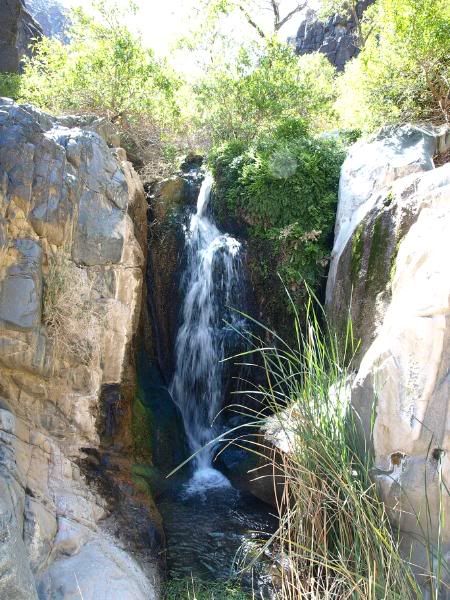
We made a change to the plans as we passed the Darwin Falls road. We wanted to take a look at the falls before heading on. My map and Chuck’s GPS showed Darwin Falls as being close to the China Garden Spring, so we headed up the hill to the turn for the spring:
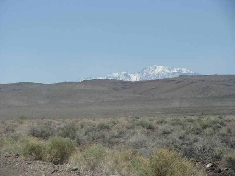
After much exploring (& finding some great stuff!) and then consulting Roger Mitchell book, we discovered that the falls is closer to the lower side of the canyon. We had spent a lot of time looking, so just headed toward Saline Valley Road and the Hunter Mountain Loop. On the way we caught a brief glimpse of Mt. Whitney still covered in snow:
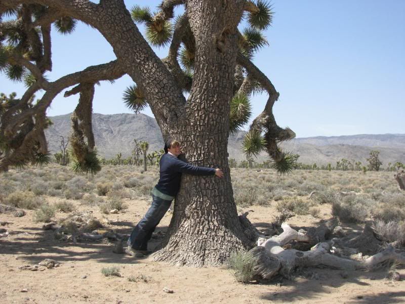
Making up time ‘Baja” style, we soon found ourselves in the Joshua Tree grove of Lee Flat. These are the biggest Joshuas that I have ever seen:
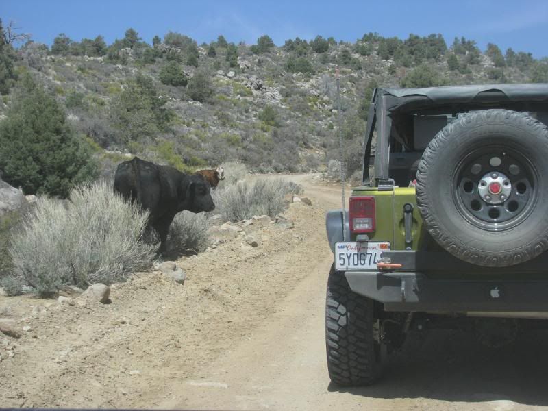
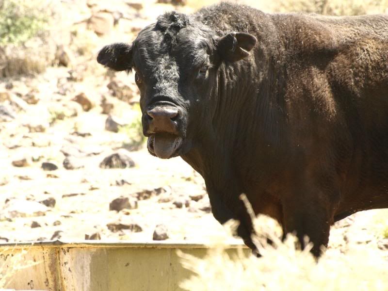
On the way up Hunter Mtn, we came across some free range cattle:
And SNOW in the shaded areas:
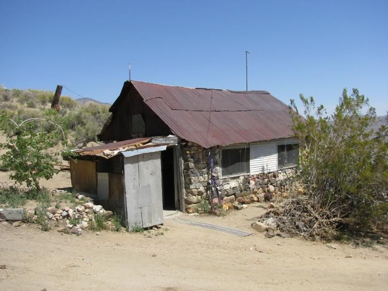
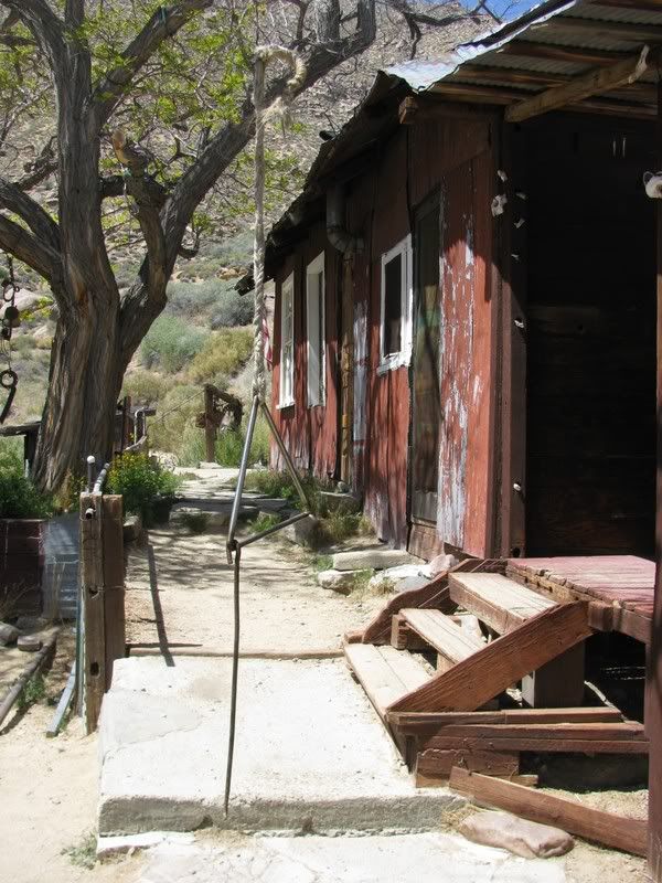
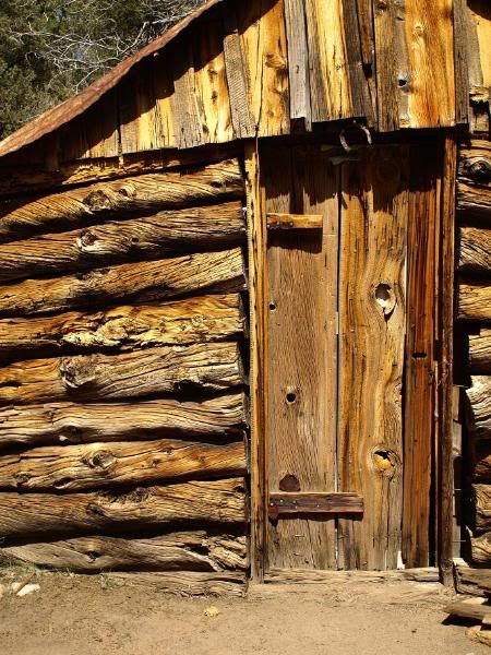
We took a side road to see the very well preserved Hunter Cabin. It is over a hundred years old:
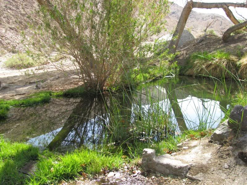
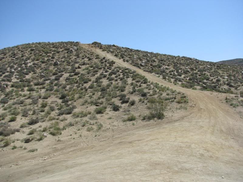
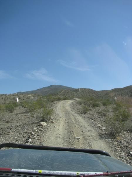
Afterward, we went down a winding shelf road for quite a distance to Goldbelt Springs:
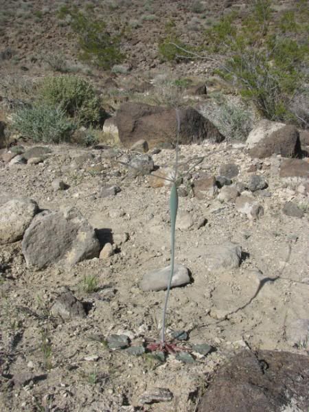
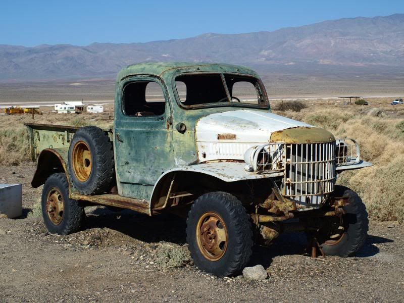
At the camp at Goldbelt Springs, all of the buildings have collapsed. We found several trucks and cars and several things in bloom:
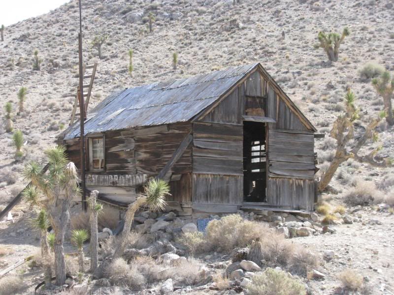
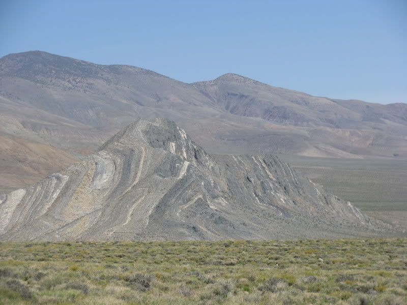
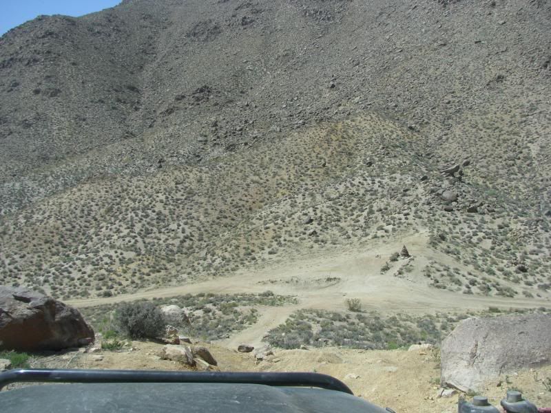
From there, we traveled past the Quackenbush Mine before returning to the main trail through Ulida Flat and Hidden Valley. Before leaving Hidden Valley, we visited the “best mine ever”, the Lost Burro Mine. This place is really cool. Buildings are fairly well preserved:
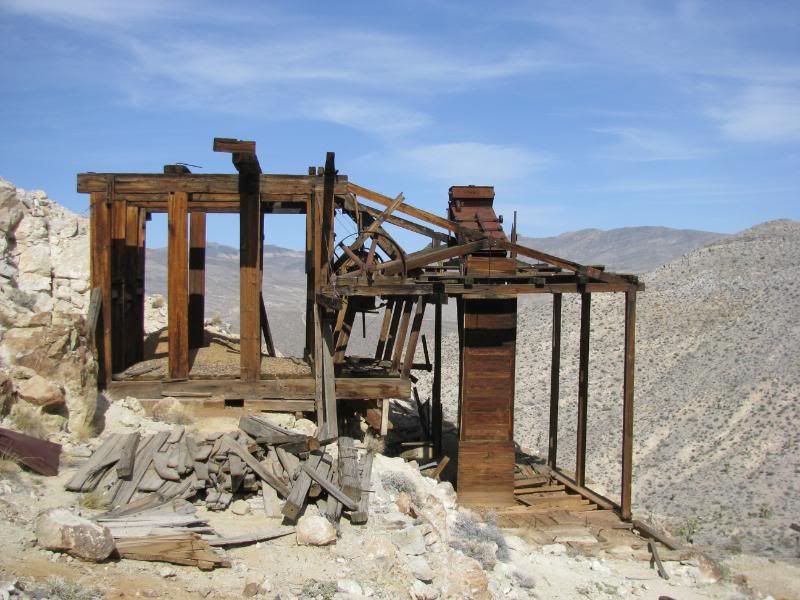
The ore workings are still standing:
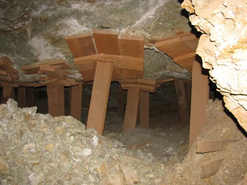
And the mine is amazing. The mountain is pretty much held up on stilts!
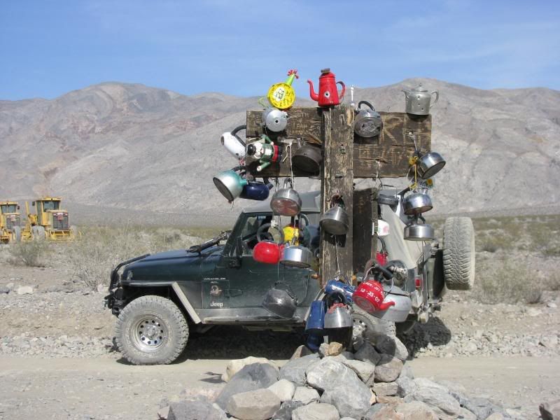
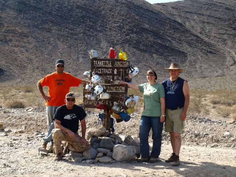
Leaving the mine, we passed through the Lost Burro Gap to find the Teakettle Junction. Next time we are bringing a Tea Kettle!:
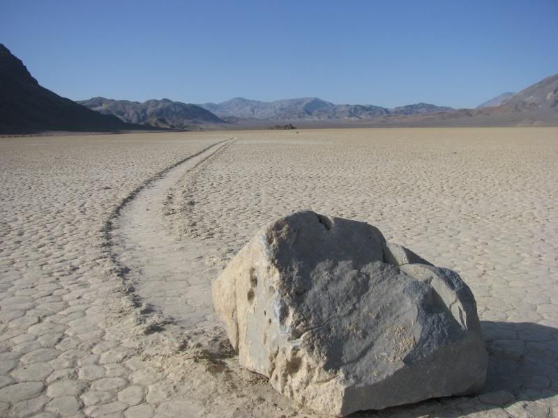
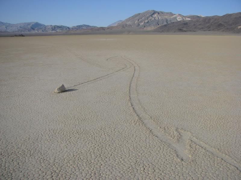
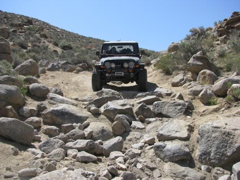
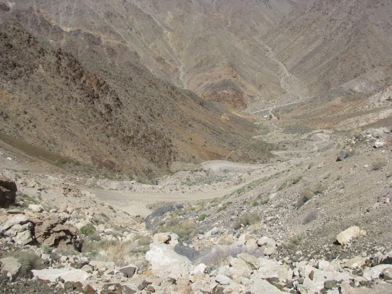
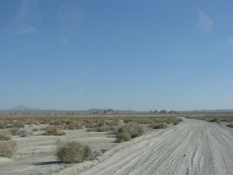
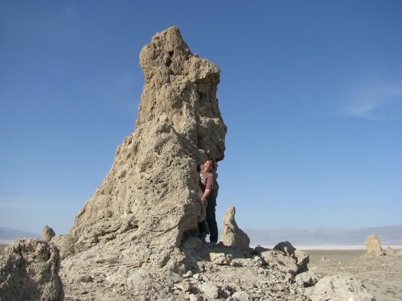
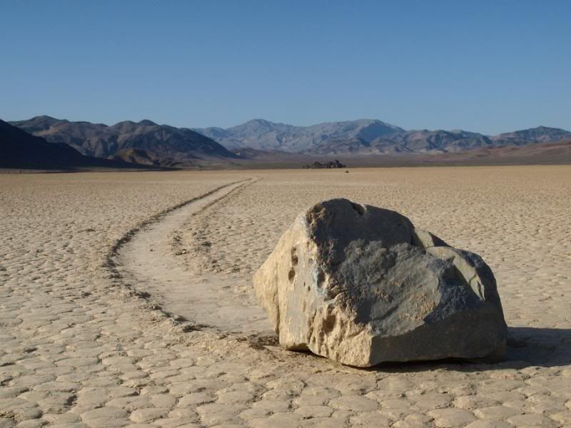
The Racetrack Playa was next. I was truly looking forward to this. Last year we found very few rock tracks because of the dry year. Since the valley has had some rain this year, I was hoping for some good tracks – I was not disappointed:
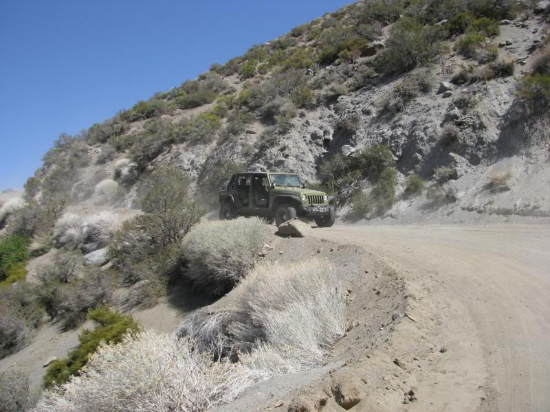
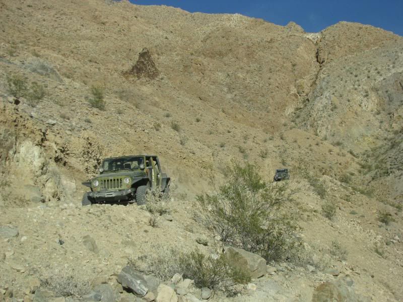
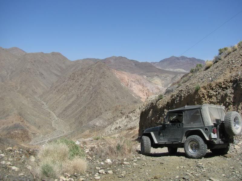
To complete the loop, we crawled down the Lippencott Grade:
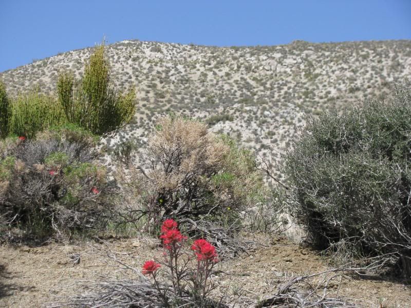
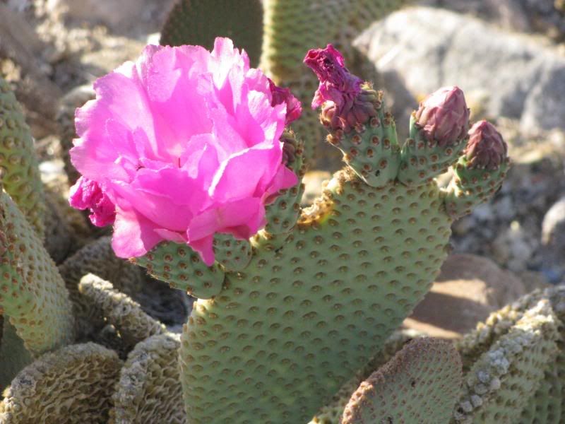
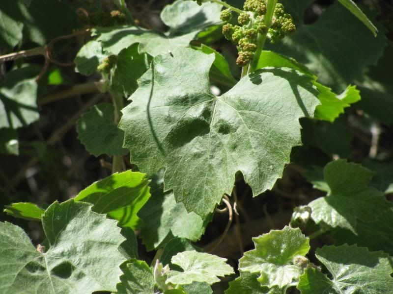
This very narrow shelf road drops you into the Saline Valley. The valley had lots of things in bloom, including some spectacular Prickly Pears:
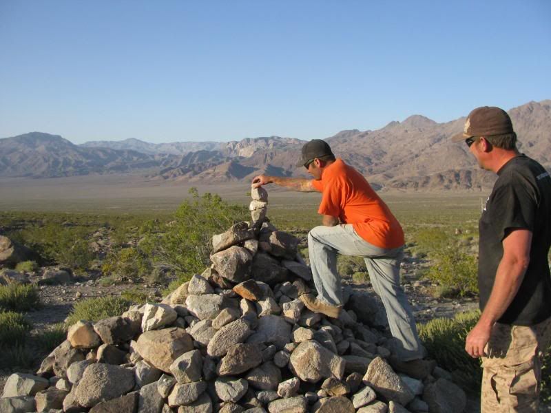
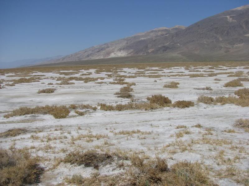
We added stones to the cairn at the intersection with Saline Valley Road. Look how green the valley is:
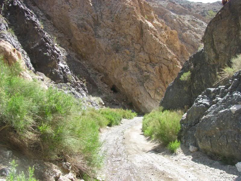
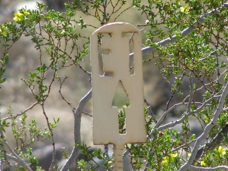
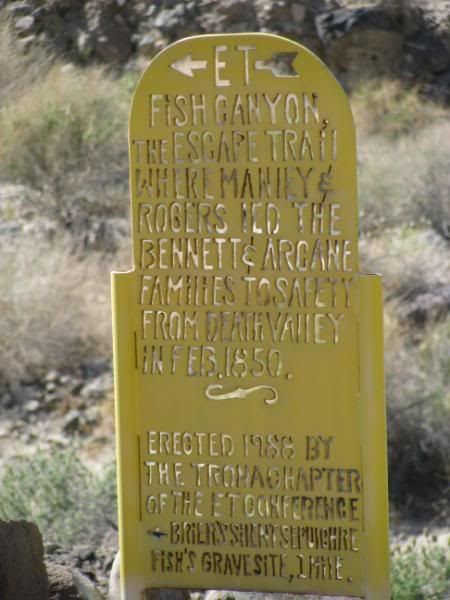
We climbed up and out of the valley through Grapevine Canyon and then traveled back to the highway the same way that we came. Even though we were moving as fast as we could, we still didn’t get back to camp until after 8pm. I had wanted to go visit FishPOET in his camp in Panamint Valley, but we were hungry and exhausted after the long day. Sorry Doug!
DAY THREE – Sunday
Sunday morning, we woke up and broke camp. Today we wanted to see the Barker Ranch where Charles Manson was arrested. First we went to Ballarat to see the ghost town since it was on the way:
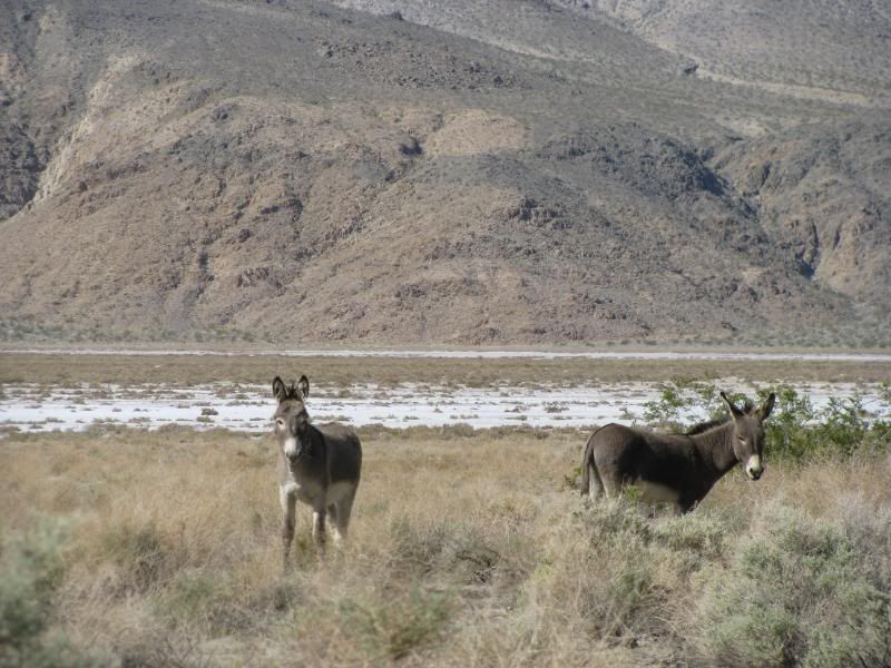
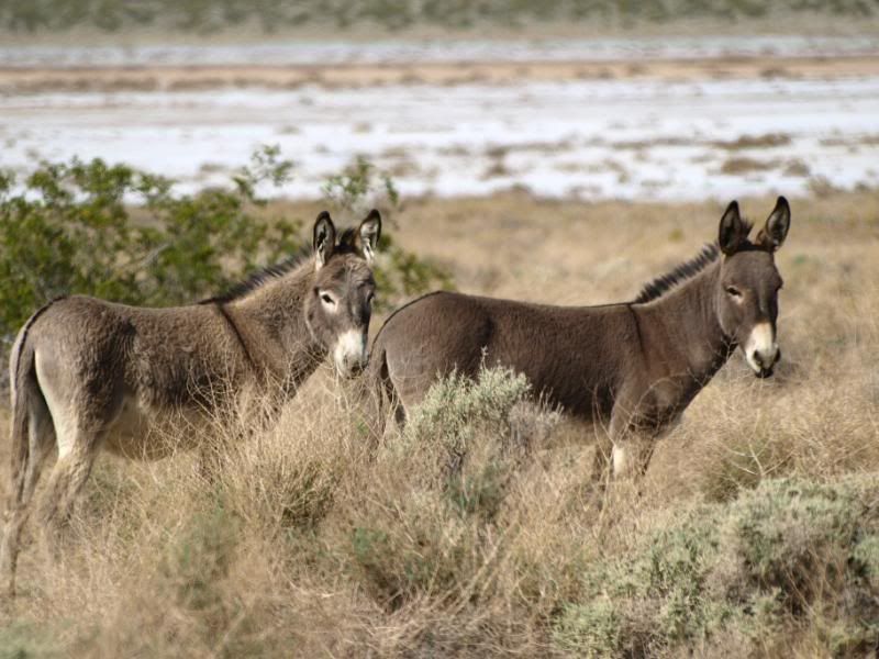
On the way to Goler Wash we saw some wild burros getting their breakfast:
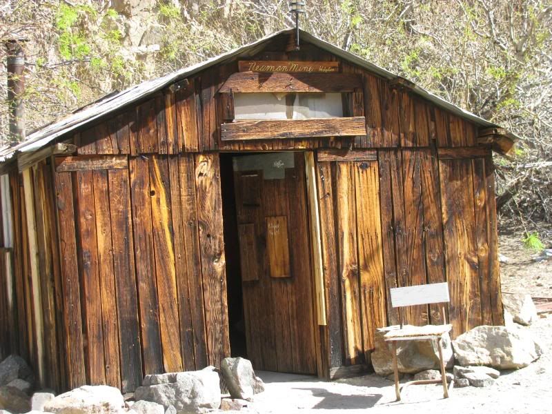
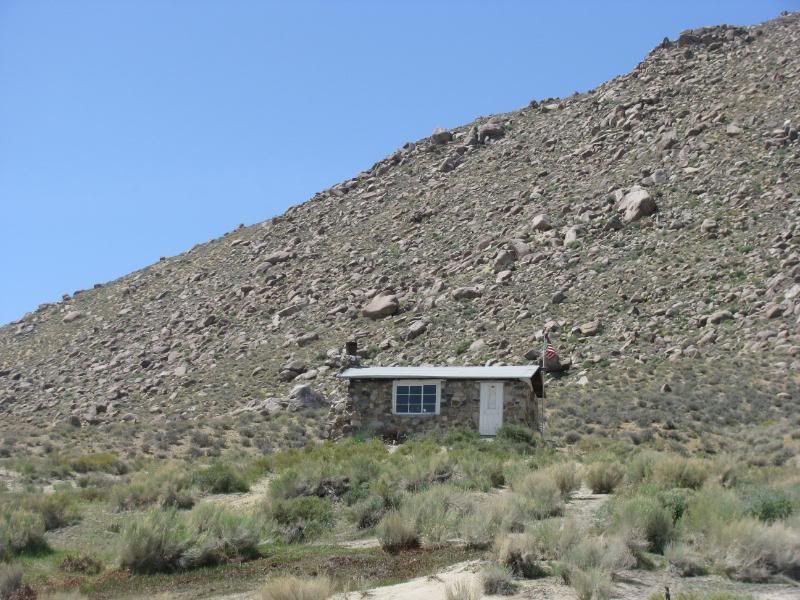
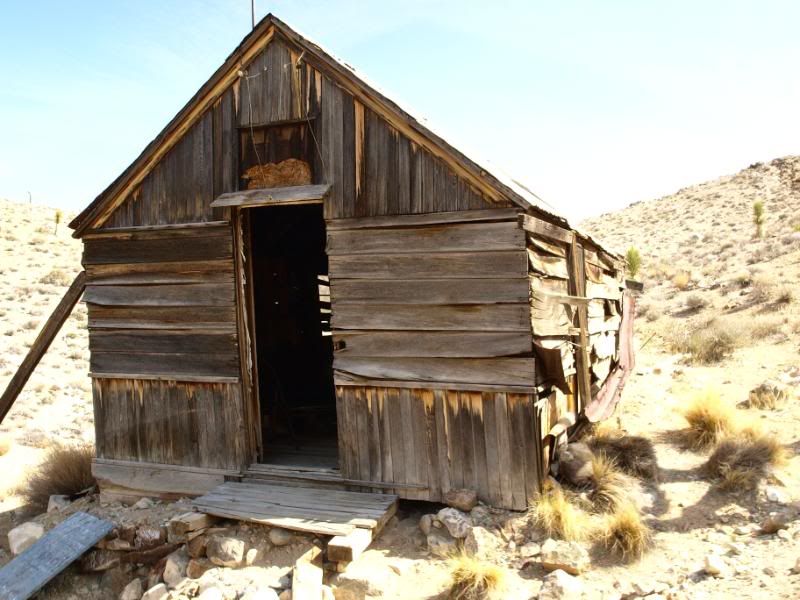
On our way up the wash we stopped at the Newman Mine Cabin. It is excellent shape:
We continued up the wash to the park boundary and then to the Barker Ranch:
After meeting several other Jeepers and exploring the ranch, Chuck and Scott made their way back down the wash so that they could get home at a reasonable hour. Sharon and I explored a little more before leaving, but that is in Trail Report #2.
It was a fantastic weekend! Thanks to Chuck and Scott for putting up with my LONG trail plans. I think that we all had a great time though. There is SOOO much to see in the area that we are talking about another trip in the fall.
Thanks again guys for making this such a good trip!
DAY ONE - Friday
Sharon and I met Dirtman13 (Chuck) and Dr. Dirty (Scott) in the Wildrose campground of Death Valley National Park on Friday afternoon. They went up that morning and had explored the Charcoal Kilns and the old Superintendent’s house before we arrived. I’m sure that they will posts pics of their earlier adventures soon.
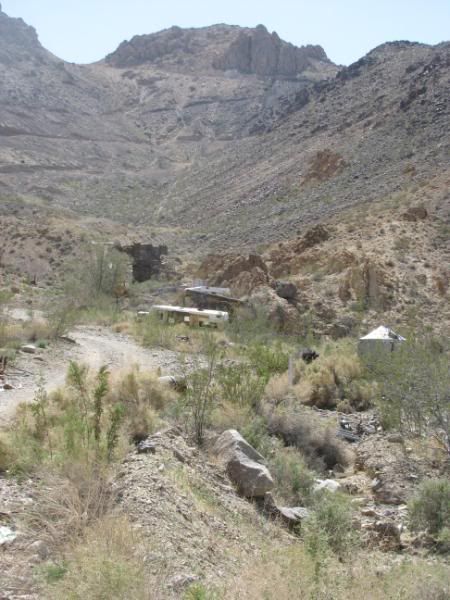
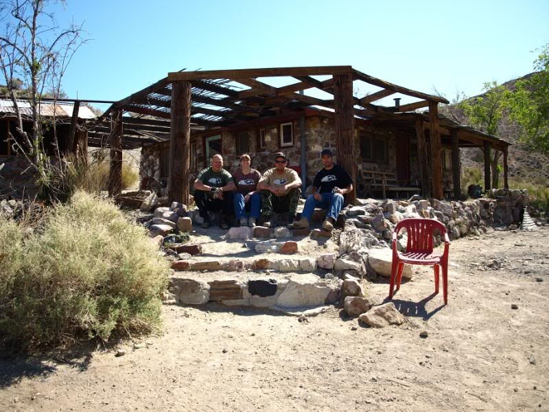
After we arrived, we set up camp quickly and then headed out to Aguereberry Point to catch some sunset pics. We stopped at Aguereberry Camp and Mine on the way:
We then climbed up to Aguereberry Point just before sunset for some great views and pics:
On the way back, we explored the Eureka Mine in the twilight:
DAY TWO – Saturday
We woke up early and headed to Panamint Springs for gas. Ouch! Over $5 a gallon! A Land Rover club was staging at the gas station for a variety of runs for the day. We were headed for the Hunter Mountain / Racetrack Loop and none of their runs were going our way. I thought of it as lucky for us only because it was a really big group, probably 35 or 40 rigs.
We made a change to the plans as we passed the Darwin Falls road. We wanted to take a look at the falls before heading on. My map and Chuck’s GPS showed Darwin Falls as being close to the China Garden Spring, so we headed up the hill to the turn for the spring:
After much exploring (& finding some great stuff!) and then consulting Roger Mitchell book, we discovered that the falls is closer to the lower side of the canyon. We had spent a lot of time looking, so just headed toward Saline Valley Road and the Hunter Mountain Loop. On the way we caught a brief glimpse of Mt. Whitney still covered in snow:
Making up time ‘Baja” style, we soon found ourselves in the Joshua Tree grove of Lee Flat. These are the biggest Joshuas that I have ever seen:
On the way up Hunter Mtn, we came across some free range cattle:
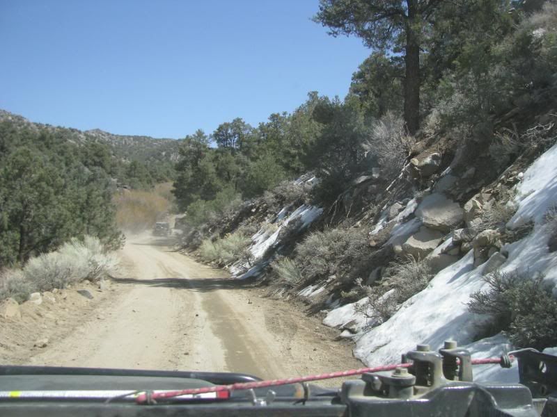
And SNOW in the shaded areas:
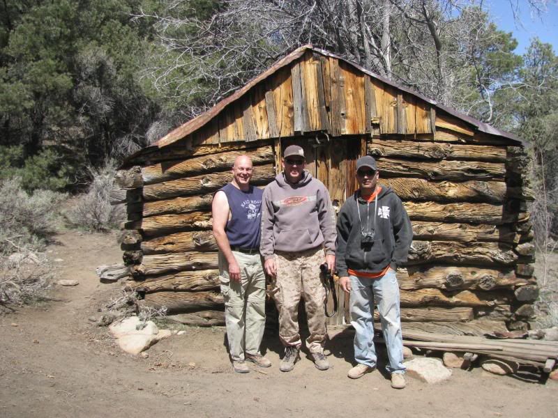
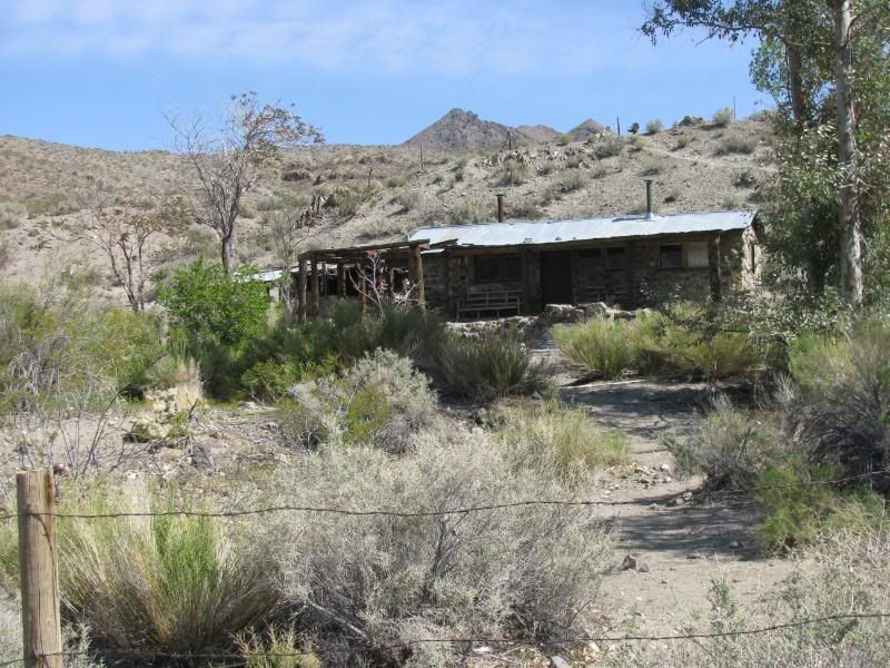
We took a side road to see the very well preserved Hunter Cabin. It is over a hundred years old:
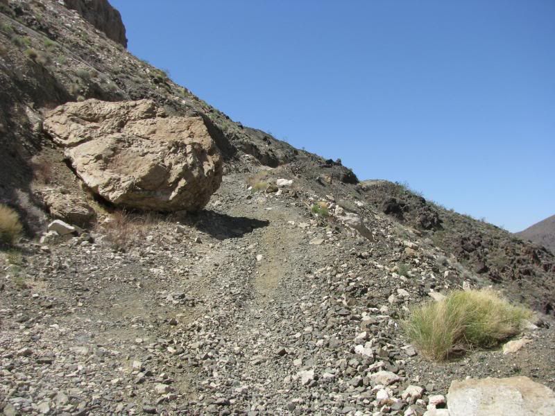
Afterward, we went down a winding shelf road for quite a distance to Goldbelt Springs:
At the camp at Goldbelt Springs, all of the buildings have collapsed. We found several trucks and cars and several things in bloom:
From there, we traveled past the Quackenbush Mine before returning to the main trail through Ulida Flat and Hidden Valley. Before leaving Hidden Valley, we visited the “best mine ever”, the Lost Burro Mine. This place is really cool. Buildings are fairly well preserved:
The ore workings are still standing:
And the mine is amazing. The mountain is pretty much held up on stilts!
Leaving the mine, we passed through the Lost Burro Gap to find the Teakettle Junction. Next time we are bringing a Tea Kettle!:
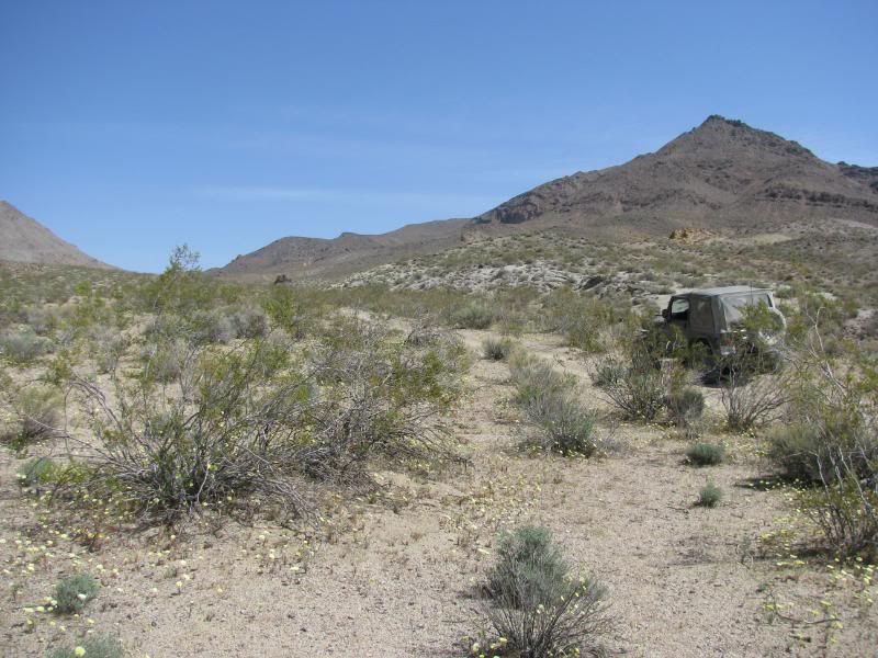
The Racetrack Playa was next. I was truly looking forward to this. Last year we found very few rock tracks because of the dry year. Since the valley has had some rain this year, I was hoping for some good tracks – I was not disappointed:
To complete the loop, we crawled down the Lippencott Grade:
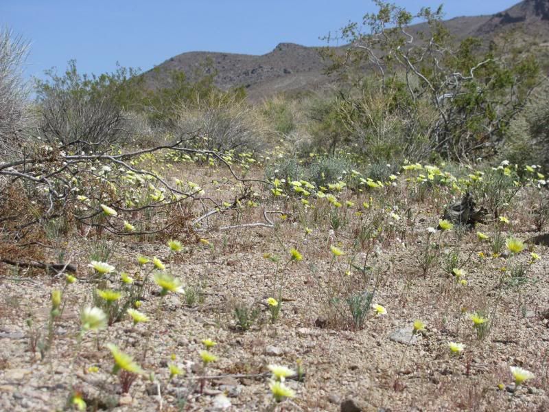
This very narrow shelf road drops you into the Saline Valley. The valley had lots of things in bloom, including some spectacular Prickly Pears:
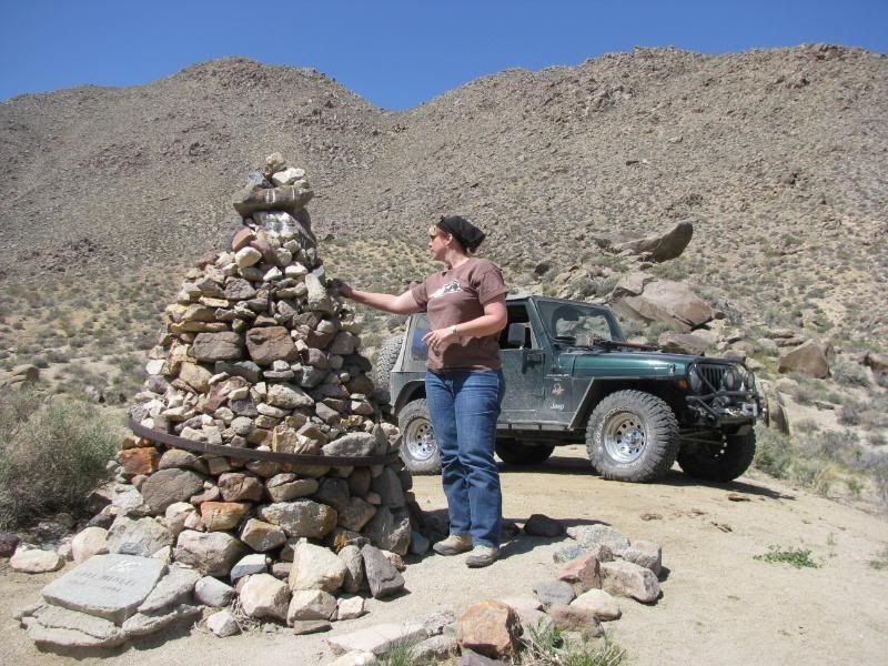
We added stones to the cairn at the intersection with Saline Valley Road. Look how green the valley is:
We climbed up and out of the valley through Grapevine Canyon and then traveled back to the highway the same way that we came. Even though we were moving as fast as we could, we still didn’t get back to camp until after 8pm. I had wanted to go visit FishPOET in his camp in Panamint Valley, but we were hungry and exhausted after the long day. Sorry Doug!
DAY THREE – Sunday
Sunday morning, we woke up and broke camp. Today we wanted to see the Barker Ranch where Charles Manson was arrested. First we went to Ballarat to see the ghost town since it was on the way:
On the way to Goler Wash we saw some wild burros getting their breakfast:
On our way up the wash we stopped at the Newman Mine Cabin. It is excellent shape:
We continued up the wash to the park boundary and then to the Barker Ranch:
After meeting several other Jeepers and exploring the ranch, Chuck and Scott made their way back down the wash so that they could get home at a reasonable hour. Sharon and I explored a little more before leaving, but that is in Trail Report #2.
It was a fantastic weekend! Thanks to Chuck and Scott for putting up with my LONG trail plans. I think that we all had a great time though. There is SOOO much to see in the area that we are talking about another trip in the fall.
Thanks again guys for making this such a good trip!


Comment