 Tweet
Tweet
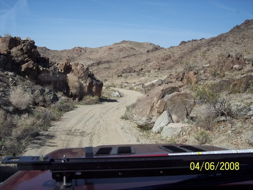
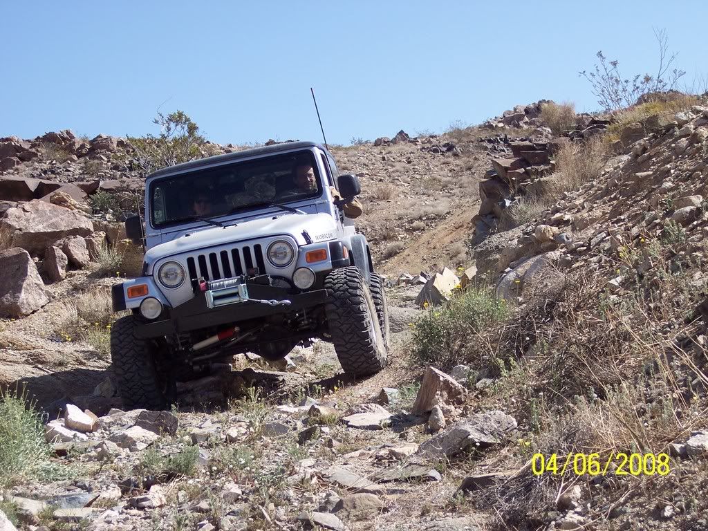
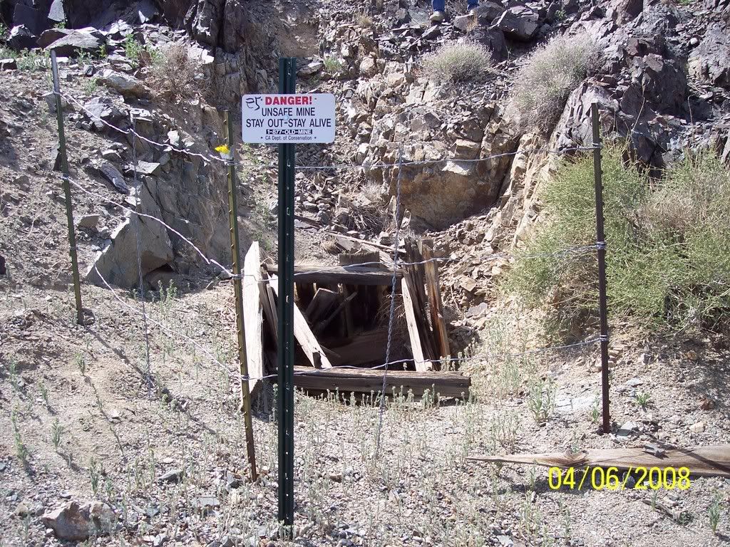
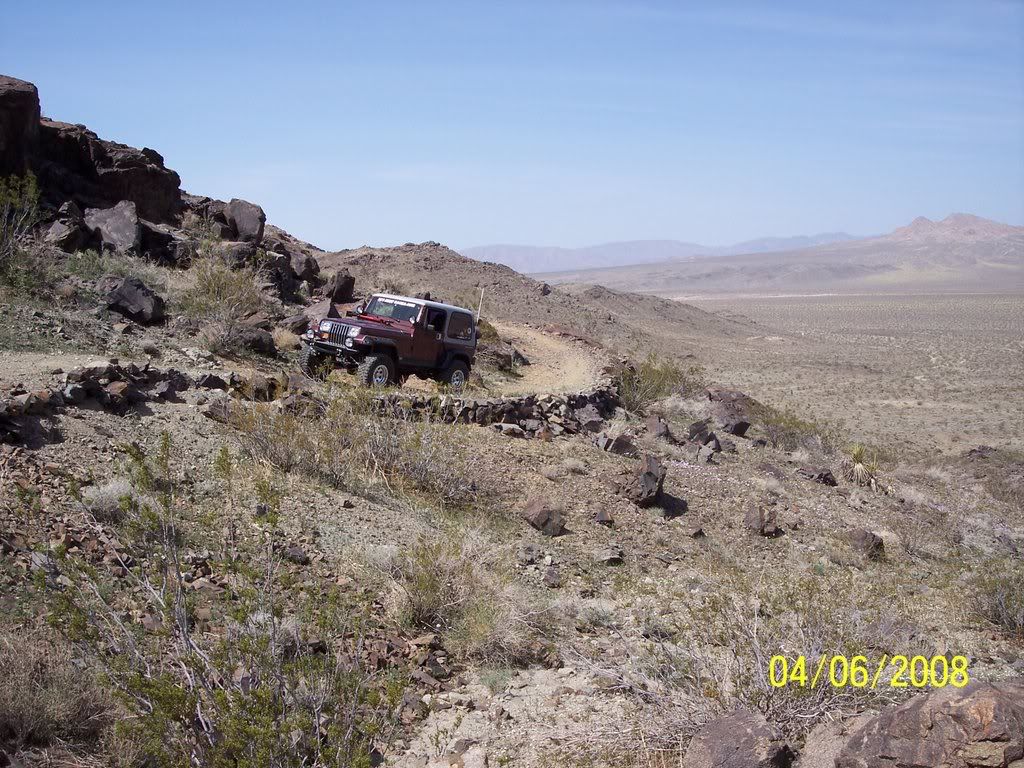
As if 6 hours yesterday with Roger wasn't enough, I met Dave (Flatpoint) and Co-Pilot Kelly this morning for a little run back through the Fry Mountains and over to Fairview Valley. Dave and I found several mines in this area that we missed last trip. It is amazing that there are dozens of mines and every trip we find more. Neat narrow shelf roads with hand stacked rocks that were made years and years ago.
We left this area and headed back towards the dry lake (and a very clean bathroom). I was on a mission and Dave and Kelly found a 2 foot Mojave Green along the edge of the dry lake while I was tied up. It looks like they (Mojave Greens) are out in force this year. They watched from a distance and then we headed towards "Hercules Finger". This is a verticle column of rock that sticks straight up in the air.
Next we headed towards Hwy 247 and took Johnson Road over the hill to Fairview Valley. We cruised around and checked out a couple of mines including "Red Top Mine".
We parted ways back at Hwy 18 and Central in Apple Valley where we met at 7:30am for gas. 94 miles of fun today! Thanks Dave and Kelly!
Looking for new mines / Fry Mountains
Dave and Kelly
Another mine that we missed last time
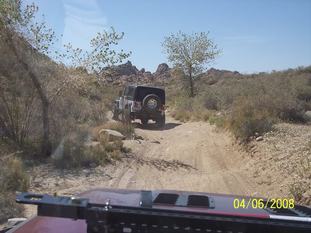
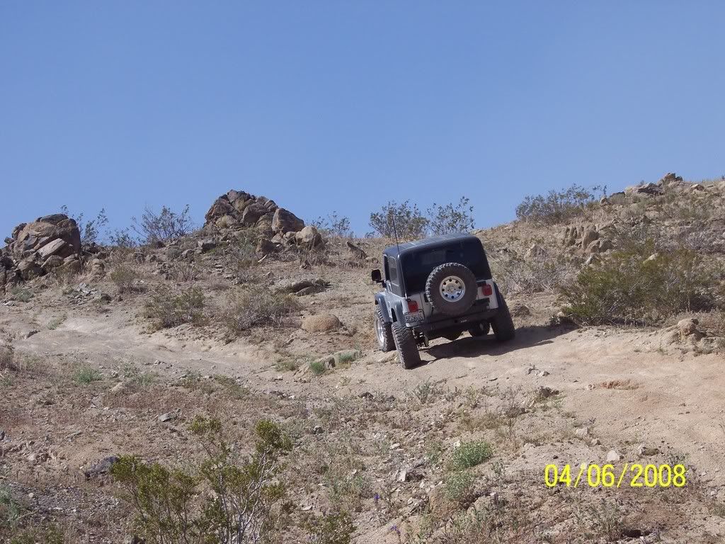
Old mining roads - Fry Mountains
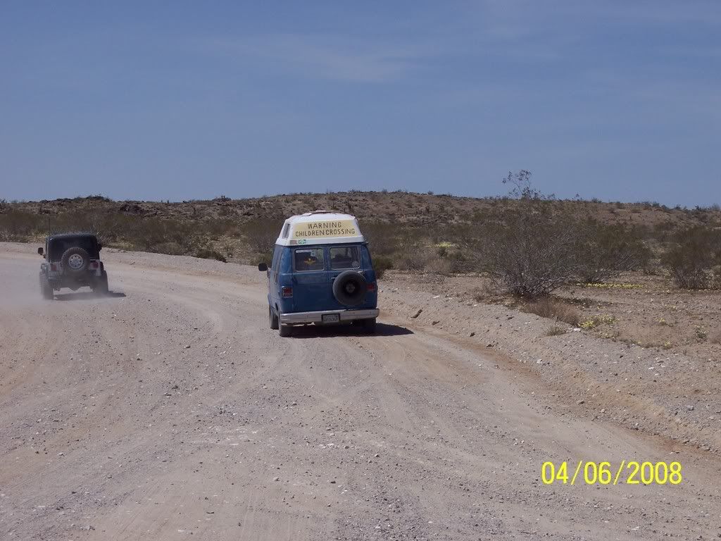
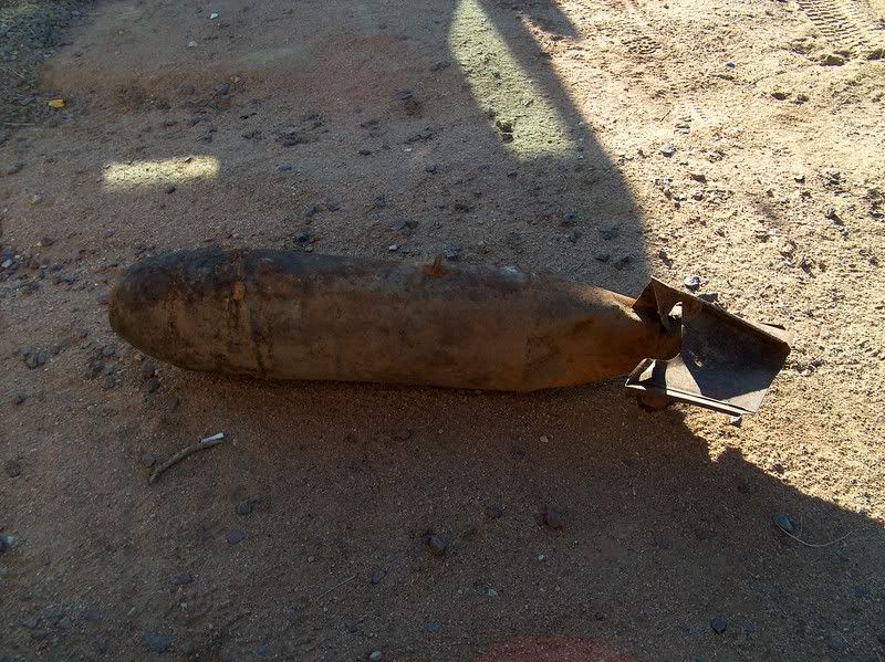
Ice Cream Truck in the desert / Music playing and all!
"Hercules Finger"
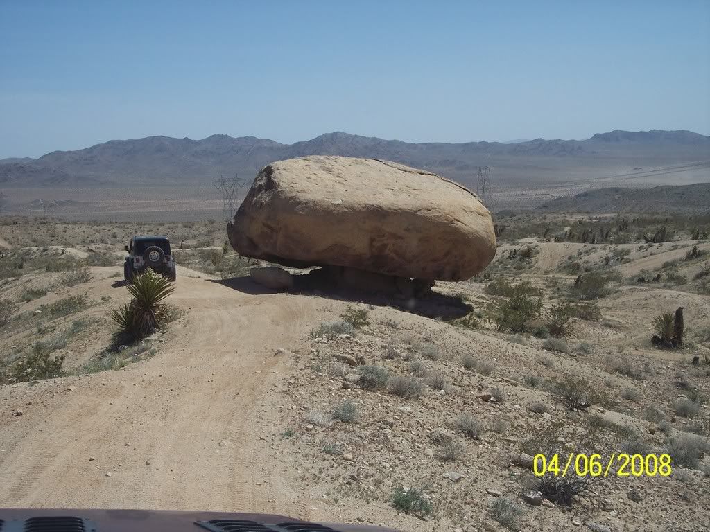
"Balanced Rock"
Johnson Road heading west from Hwy 247
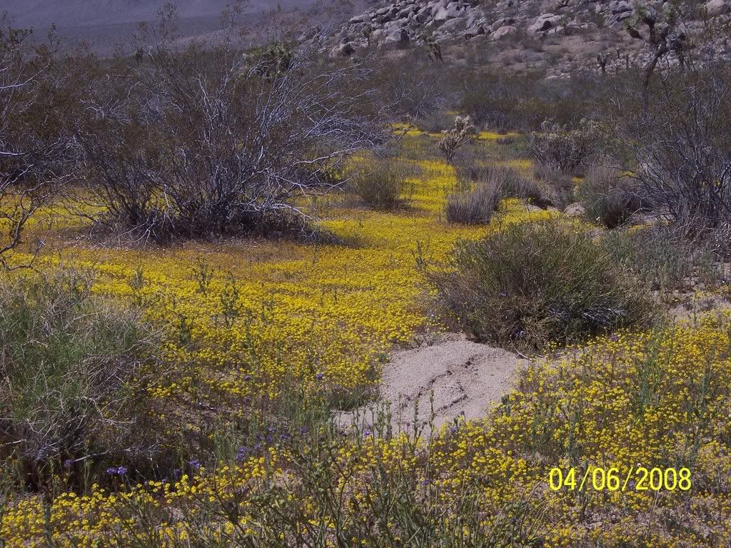
Amazing colors
Dave climbing
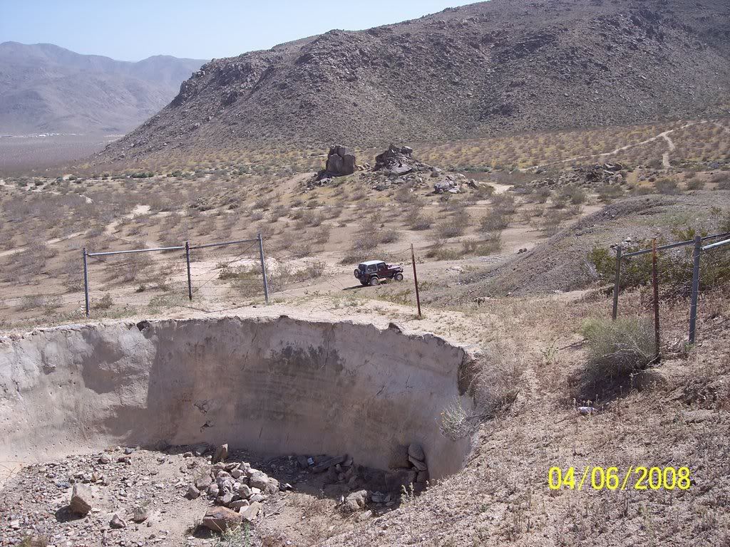
Old water storage / Red Top Mine
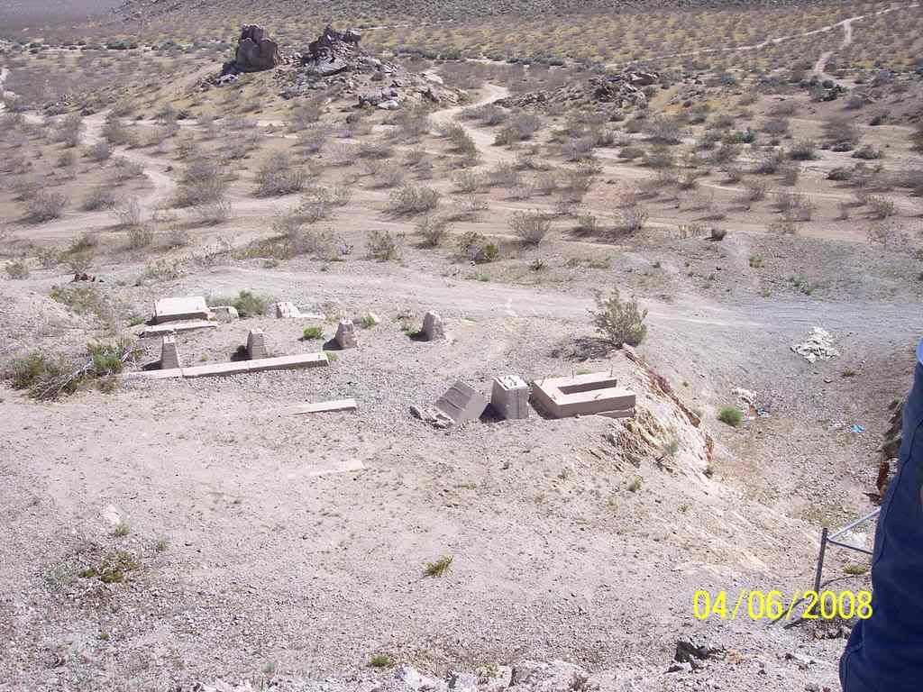
Old mill foundations
We left this area and headed back towards the dry lake (and a very clean bathroom). I was on a mission and Dave and Kelly found a 2 foot Mojave Green along the edge of the dry lake while I was tied up. It looks like they (Mojave Greens) are out in force this year. They watched from a distance and then we headed towards "Hercules Finger". This is a verticle column of rock that sticks straight up in the air.
Next we headed towards Hwy 247 and took Johnson Road over the hill to Fairview Valley. We cruised around and checked out a couple of mines including "Red Top Mine".
We parted ways back at Hwy 18 and Central in Apple Valley where we met at 7:30am for gas. 94 miles of fun today! Thanks Dave and Kelly!
Looking for new mines / Fry Mountains
Dave and Kelly
Another mine that we missed last time
Old mining roads - Fry Mountains
Ice Cream Truck in the desert / Music playing and all!
"Hercules Finger"
"Balanced Rock"
Johnson Road heading west from Hwy 247
Amazing colors
Dave climbing
Old water storage / Red Top Mine
Old mill foundations
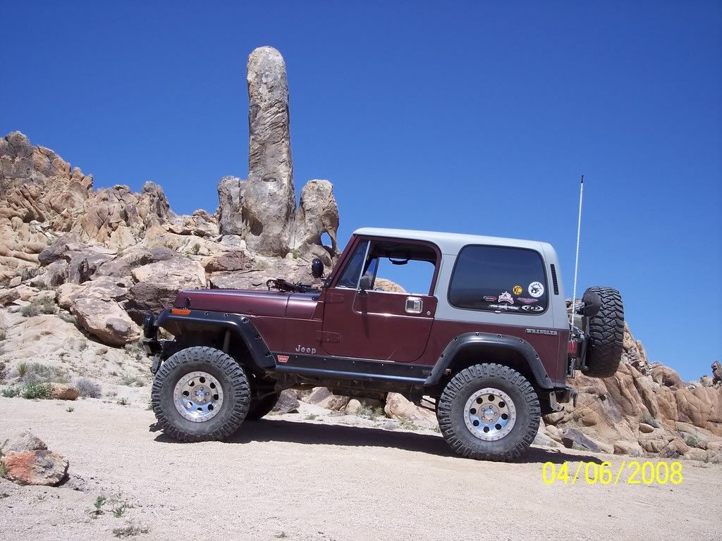
 8s, 35 inch MTRs, Warn 9k rock track 4:1, Vanco Big Brake Kit![/COLOR]


Comment