Announcement

Collapse
No announcement yet.

Butler Fire 2

Collapse

Forum Thread First Post

Collapse
X
 
  • Filter
  • Time
  • Show
Clear All
new posts

  • #31
    Update. Could be 100% later today.

    Current Situation
    Total Personnel 1,997
    Size 14,039 acres
    Percent Contained 93%
    Estimated Containment Date 09/20/2007 at hrs.
    Fuels Involved Grass, Brush, and Timber.

    Fire Behavior Creeping & smoldering.

    Significant Events Evacuations Lifted for Fawnskin as of 6:00 pm, Wednesday Sept. 19. Highway 38 from the Dam to the Discovery Center will be open to residents only with proof of a physical address. PO Boxes are not accepted. A utility bill is acceptable.

    Precipitation has fallen on fire over night. Significant progress made with line construction yesterday. Evacution for Fawnskin, Green Valley, Running Springs, Arrowbear Lake, Lucerne Valley have been lifted.
    Check out .

    Comment


    • #32
      Great news!!
      :gun:'99 TJ Sport:gun:

      Comment


      • #33
        As of yesterday evening (an update from Greg Hoffman):

        "Here is the latest information on the fire. Three adopted routes were
        impacted as a result of this fire. They are 3N93 (Holcomb Creek), 2N06X
        (Lower Larga Flat) and 3N11 (Wright Mine). This was not a complete or
        clean burn. That's good news. Many islands of green vegetation are
        remaining within the fire area. That will be good for forest regeneration
        and less restoration be us to do.

        At this time, it is unknown if their will be a forest closure, what areas
        will be closed or for how long.

        Thank you,

        Greg."
        -Bob
        '98 Black TJ [COLOR=Blue]Sport[/COLOR] 4.0L/Auto Trans

        My rig : http://i9.photobucket.com/albums/a95...n/DSC06310.jpg

        Comment


        • #34
          Originally posted by steelman View Post
          As of yesterday evening (an update from Greg Hoffman):

          "Here is the latest information on the fire. Three adopted routes were
          impacted as a result of this fire. They are 3N93 (Holcomb Creek), 2N06X
          (Lower Larga Flat) and 3N11 (Wright Mine). This was not a complete or
          clean burn. That's good news. Many islands of green vegetation are
          remaining within the fire area. That will be good for forest regeneration
          and less restoration be us to do.

          At this time, it is unknown if their will be a forest closure, what areas
          will be closed or for how long.

          Thank you,

          Greg."
          I just read that e-mail!!!! FANTASTIC NEWS for 2n84! I hope we can get more news about forest closures, and what we can do to help the damaged areas soon!
          If we aren't supposed to eat animals, then why are they made out of meat?

          http://jeep.matandtiff.com/

          Truth is treason in the empire of lies. -Ron Paul

          Comment


          • #35
            :omg: I thought 2N84 was in the fire? Great!!!!!
            Check out .

            Comment


            • #36
              Wonderful news!!!

              Comment


              • #37
                As of today, Friday, September 21, Crab Flats, Green Valley, and
                Holcomb Valley Campgrounds will reopen. On the west side of the district,
                3N16 is open to 3N34. 3N34 will be open to Crab Flats CG. 3N16
                will remain closed at the 3N34 intersection. Horse Springs, Hanna Flat,
                Big Pine Flat family campgrounds remain closed. Grays Peak, Ironwood and
                Big Pine Flat group camps also remain closed.

                On the East side of the district, 2N09 and all roads east of 2N09 will
                reopen. All roads west of the 2N09/3N16 intersection remain closed.

                The PCT will remain closed from the 3N16/Holcomb Creek crossing on the
                west side (approx. 2 miles northeast of Crab Flats), to 2N09 (Polique
                Canyon Rd.) . Little Bear Springs trail camp is closed to public use.

                Grays Peak trail remains closed at this time. Cougar Crest Trail is
                reopened.

                4-wheel drive routes 3N93, 2N06X, 3N11, and 3N17, and 1W17 (Redonda ridge)
                are within the fire perimeter and remain closed at this time.

                Butler Peak lookout is closed to the public.
                Jeff
                OHV76V
                KG6TY
                You're just upset because the voices in my head only talk to ME!

                Comment


                • #38
                  From Ranger Greg 9/21/07

                  Subject: [SBNF_AAT] Fw: Butler 2 Fire Update - as of 6pm Sept. 20 -- 100% Contained


                  Here is the latest information on the fire. Three adopted routes were
                  impacted as a result of this fire. They are 3N93 (Holcomb Creek), 2N06X
                  (Lower Larga Flat) and 3N11 (Wright Mine). This was not a complete or
                  clean burn. That's good news. Many islands of green vegetation are
                  remaining within the fire area. That will be good for forest regeneration
                  and less restoration be us to do.

                  At this time, it is unknown if their will be a forest closure, what areas
                  will be closed or for how long.

                  Thank you,

                  Greg.

                  Greg Hoffman
                  OHV Manager
                  OHV Volunteer/Adopt-a-trail Programs

                  Comment


                  • #39
                    What about 3N14?
                    Nevermind. Looked it up. Thanks
                    Recreation Sites Closed to the public as a result of the Butler 2 Fire

                    Butler Peak Lookout
                    Grays Peak Trail
                    Horse Springs Campground
                    Hanna Flat Campground
                    Big Pine Flat Campground
                    Grays Peak Group Campground
                    Ironwood Group Campground
                    Big Pine Flat Group Campground
                    Little Bear Springs Trail Camp
                    Yellow Post Sites within the fire closure area

                    Road / Trail Closures & Information

                    1N16 Government Peak - Closed due to poor road conditions.

                    1N22 Daley / West City Creek Road - Closed - From City Creek Station Highway 330 to Waterman Canyon.

                    1N34 San Sevine Trail - Closed at both Lytle Creek Road and on the Rancho Cucamonga side, due to storm damage.

                    1N35 West Fork Cucamonga - Closed at 1N34, bridge damage.

                    1W04 Siberia Creek National Recreation Trail - Closed due to lack of maintenance. (beyond the Gunsite)

                    1W06 Gray's Peak Trail - Closed due to Butler 2 Fire

                    1W09 Camp Creek National Recreation Trail - Closed due to large tree blocking trail.

                    1W17 Redonda Ridge OHV Route - Closed due to Butler 2 Fire

                    2E07 / 2E08 Deer Springs / Tunnel Trail - Trail has been decommissioned, and there is no public access.

                    2E09 / 2E09A Kitching Peak Trail - Closed due to no public access.

                    2E10 Bear Wallow Trail - Closed due to no public access.

                    2N06X - Closed due to Butler 2 Fire

                    2N13 Snowslide and spur roads / Trails - Closed due to Butler 2 Fire

                    2N30 Cloudland Cutoff - Closed from Highway 18 to Marshall Peak, road damage.

                    2N40 Cloudland Truck Trail - Open to high clearance vehicles only beyond Marshall Peak parking area.

                    2N71 - Closed due to Butler 2 Fire

                    2W02 Muddy Springs - Closed due to lack of maintenance.

                    2W14 Hawes Ranch - Closed due to lack of maintenance.

                    3N11 - Closed due to Butler 2 Fire

                    3N14 and spur roads / Trails - Closed due to Butler 2 Fire from Fawnskin to the Forest Boundary

                    3N16 and spur roads / Trails - Closed due to Butler 2 Fire - Note: Access to Crab Flats and 3N34 okay, Closed at 3N34 junction to 2N09 Polique Canyon due to Butler II Fire. 3N16 in the Holcomb Valley area to the Big Bear Dump is open.

                    3N17 - Closed due to Butler 2 Fire

                    3W12 Northshore National Recreation Trail - NS Campground to 3N34, closed due to lack of maintenance

                    3W19 Tunnel Two - Closed due to lack of maintenance.

                    3N21 Baldy Mesa Road - Closed due to railroad construction project, this includes OHV staging area at RR trestles. OHV users need to use 3N22 Summit Staging area, south of SR138, east of I-15

                    3N93 Holcomb - Closed due to Butler 2 Fire

                    4N16 and spur roads / Trails - Closed due to Butler 2 Fire

                    4S05 Mellor Ranch - Closed due for Esperanza Fire Rehabilitation at Hwy 243.

                    4S06 Indian Canyon Road - Closed due for Esperanza Fire Rehabilitation at Hwy 243.

                    4S10 East Indian Creek Road - Closed due for Esperanza Fire Rehabilitation from 5S09 to 5S07.

                    Pacific Crest Trail - Big Bear Area- The PCT will remain closed from the 3N16/Holcomb Creek crossing on the west side (approx. 2 miles northeast of Crab Flats), to 2N09 (Polique Canyon Rd.) . Little Bear Springs trail camp is closed to public use, due to Butler 2 Fire

                    PCT - BLM Whitewater Area Closure does not include PCT through hikers (CalFire News Release BLM Whitewater Area Closure Order)

                    Report Trail and Road Conditions
                    Last edited by dirtman13; 09-21-07, 09:56 AM.
                    Check out .

                    Comment


                    • #40
                      I realize nobody asked me to, and I may be a bit premature...but I'm checking around the base here to see how many sandbags I can scare up. It's raining pretty good here in 29 Palms, and I know that this rain had to have come over the mountain to get here.

                      My concern is that the earth is going to be very susceptible to wash out without the grasses to hold it in place. Am I off the reservation on this? Anyway, figure I can probably get my hands on a couple hundred sandbags if wanted. We used to fill them with a combination of dirt and grass seed back home, not sure if that's acceptable out west here. Wouldn't want to introduce any non-native grasses to the SBNF.

                      OH! And I got out of going to Virginia, I hope to be up the mountain soon to check it out...just gotta install that carb.
                      [COLOR="darkred"]"Death Smiles at Everyone... Marines Smile Back."
                      Adopt-a-Trail Member.[/COLOR]

                      Comment


                      • #41
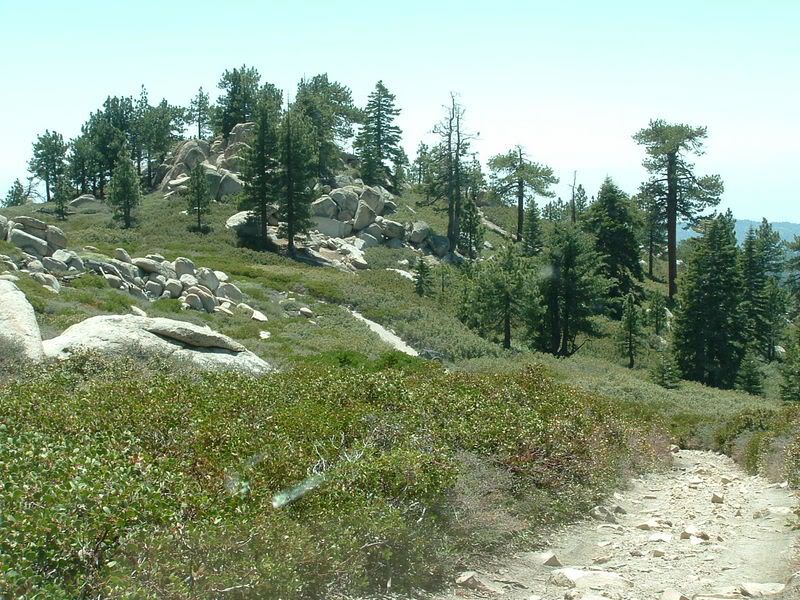
                        Pics of the burned area!

                        Sharon and I took Mr. Green up to Craft's Peak today to see if we could see the burned area. We got quite a surprise.....

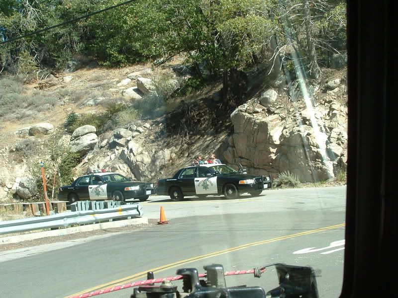
                        The 18 is blocked at Green Valley Road, but that's okay because that is the road that we wanted:


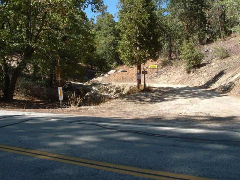
                        The 2N19 trailhead was designated and open:


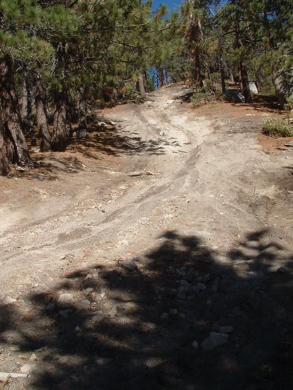
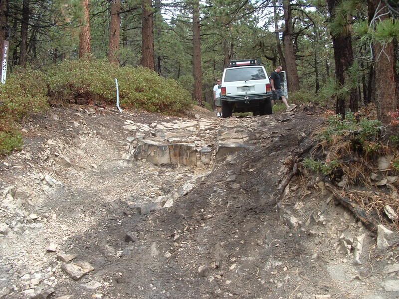
                        I really like the Craft's Peak trail so we were hoping that it had been spared from the fire. We passed a giant earthmover along the trail, and some of the trails were beaten to a loose dirt consistency by the huge treaded vehicles. The rocks and the moguls in the middle of the climb on 2N19C have been pretty much crushed out:


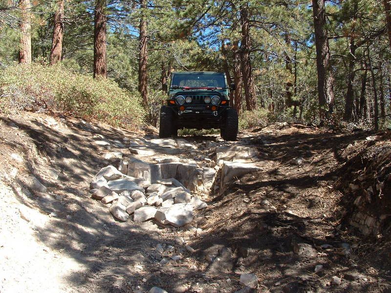
                        At the rock face near the top, lots of rocks have been stacked to make the climb easy. We didn't remove the rocks because the USFS may still need access:

                        This is what it used to be like:


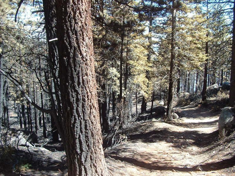
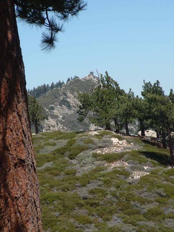
                        We were excited that the trail wasn't burned and that it was still open. But we rounded a turn and everything changed:


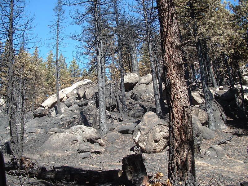
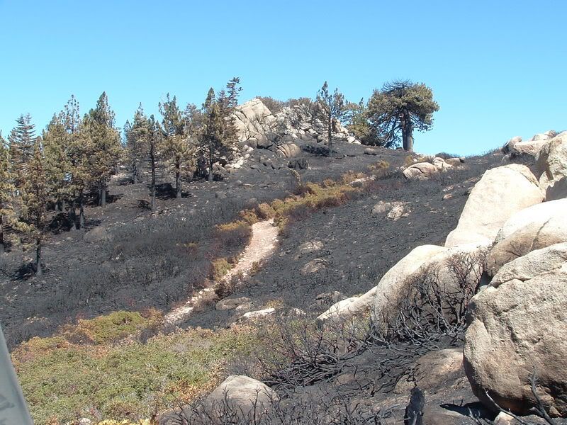
                        The burn in this area was mostly on the ground. Some trees still showed green at the tops. At the top of the peak, the Manzanita Grove has been destroyed. This is the view looking East:


                        Looking West, it used to look like this:


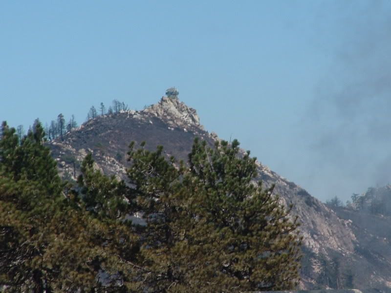
                        The lookout at Butler Peak still stands:


                        The surrounding area was hit pretty hard. Before:


                        After:


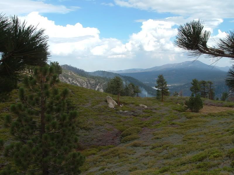
                        The view of Holcomb valley shows a few areas that seem to be untouched:


                        The burn follows 3N16. I'm pretty sure that the trail leading into the burned area on the left side of this pic is Lower Larga:


                        All of our pics of the fire can be seen at this link:
                        http://s139.photobucket.com/albums/q...23-07/?start=0

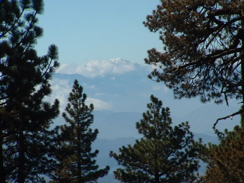
                        One bright spot, the clouds cleared a bit and snow could be seen on the top of Mt. San Antonio (Mt. Baldy):
                        [COLOR=#ff8c00]MYJEEP(crawls)ROCKS(again).com

                        I have finally stopped drinking for good.
                        Now I drink for evil..... :devil:
                        [/COLOR]

                        Comment


                        • #42
                          Thanks for the update and the pics. It's even worse seeing the before & after!

                          Comment


                          • #43
                            Great pics. Unlike the Grand Prix/Old Fire which burned so hot it destroyed 95% of the trees, I see a lot of lightly burned trees in your pictures with a lot of green left. Many of the trees should survive. Lets hope the rest of the burn area looks as good.

                            On a side note maybe we could re-open the old road from Crafts Peak to Butler Peak?
                            Over 2500 hours donated to the San Bernardino National Forest. Life member of CA4WD, CORVA & BRC. Tread Lightly Trainer. Reforestation Supervisor. CASSP

                            Comment


                            • #44
                              Pics from a friend taken this morning.

                              Contrary to the inciweb report....Hanna Flat Campground is not destroyed.


                              Camp Whittle lost 2 outbuildings


                              3N14


                              Over 2500 hours donated to the San Bernardino National Forest. Life member of CA4WD, CORVA & BRC. Tread Lightly Trainer. Reforestation Supervisor. CASSP

                              Comment


                              • #45
                                Great pictures. Glad to see a lot of green in the pics.
                                Check out .

                                Comment

                                Working...
                                X