 Tweet
Tweet
San Juan Public Lands Map
http://www.traildamage.com/trails/index.php?id=260
The traildamage site contains an extensive write up, photographs, videos, gpx files, kmz files, etc.
http://dcasler.com/2010/07/31/califo...ses-lake-como/
The My Southwestern Colorado site contains a write up, maps, directions, photographs, waypoints, etc.
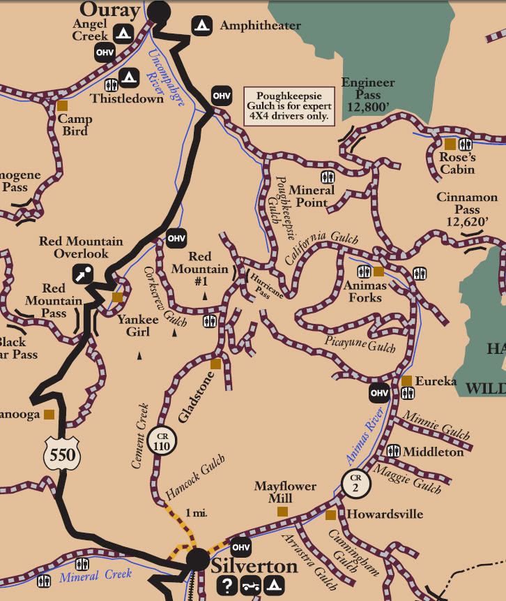
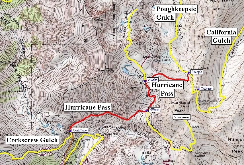
San Juan County Road 10
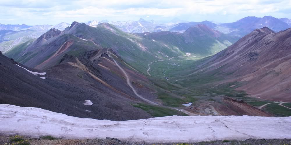
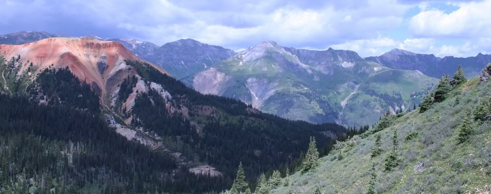
Hurricane Pass
Length: 2 miles
Elevation: 11,500' to 13,200'
Trail rating: Green Circle Easiest - Street legal vehicles and unlicensed off-highway vehicles allowed.
Special Note Operators of unlicensed vehicles must have a valid drivers license and carry proof of liability insurance.
West Entrance on Corkscrew Gulch at N37� 54.624 W107� 38.723
Viewpoint Exit exit at N37� 54.835 W107� 37.734
Alaska Basin exit at N37� 55.143 W107� 37.752
East Entrance on Poughkeepsie Gulch at N37� 55.224 W107� 37.184
Lat/Lon format is hddd� mm.mmm WGS84 datum
It is always a good idea to call ahead and get a current conditions report. San Juan Public Lands Office (970) 247-4874.
Comment