Announcement

Collapse
No announcement yet.

Eureka Gulch, Colorado

Collapse

Forum Thread First Post

Collapse
X
 
  • Filter
  • Time
  • Show
Clear All
new posts

  • Eureka Gulch, Colorado


    San Juan Public Lands Map


    http://www.traildamage.com/trails/index.php?id=258
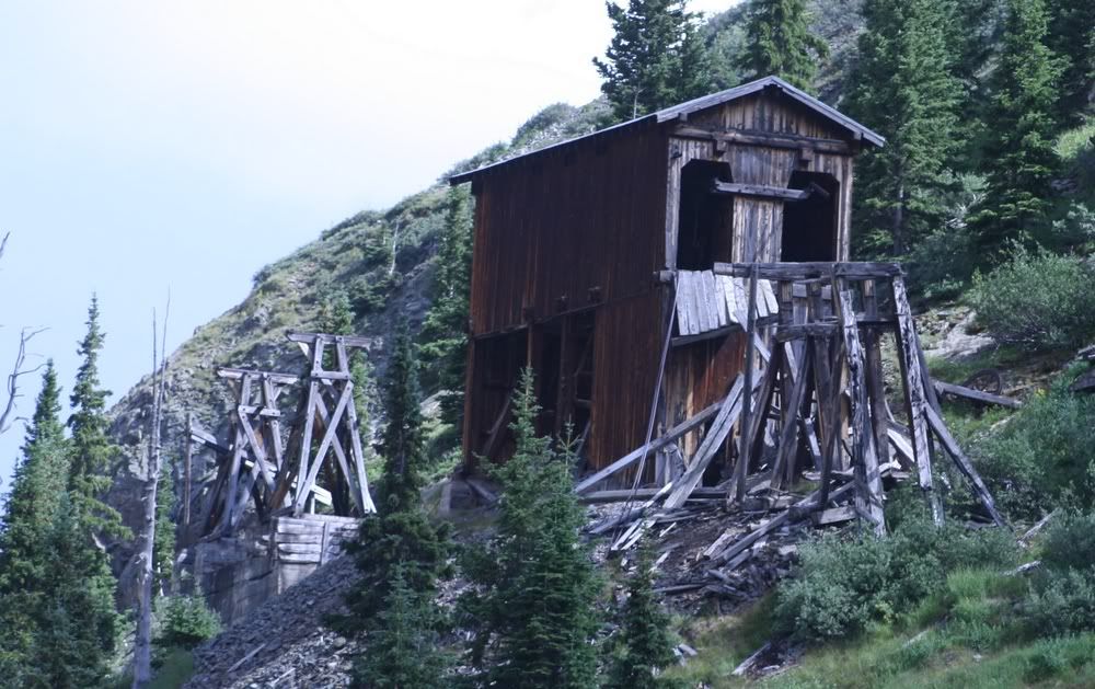
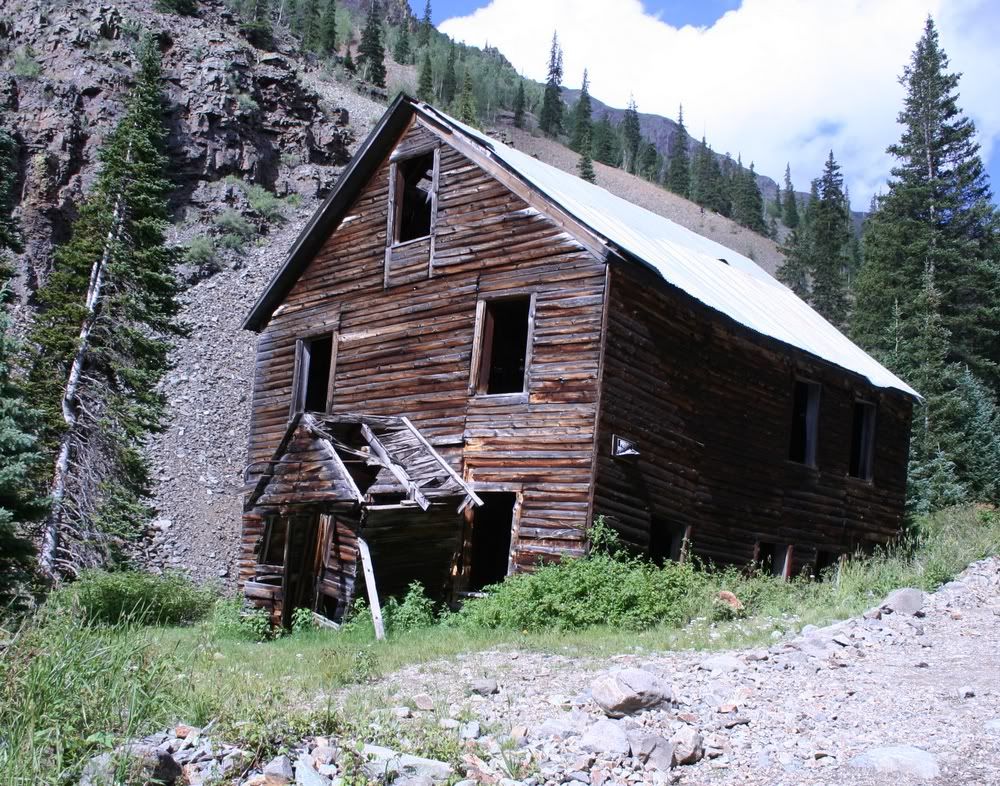
    The traildamage site contains an extensive write up, photographs, videos, gpx files, kmz files, etc.

    http://www.narrowgauge.org/4x4/html/eureka.html
    4x4 Adventures in the San Juan Mountains website contains pictures.

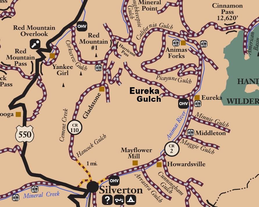
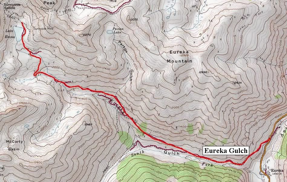
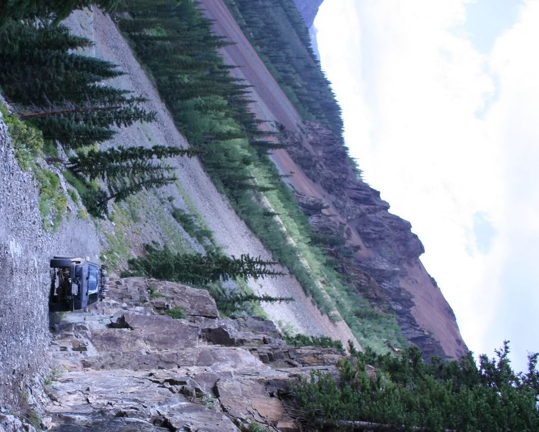
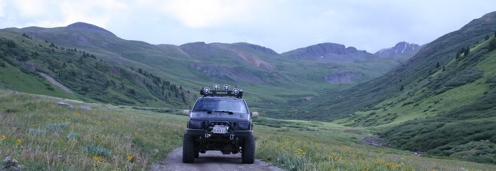
    San Juan County Road 25
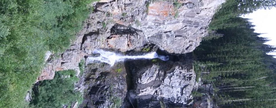
    Eureka Gulch

    Length: 4 miles

    Elevation: 9975' to 12,275'

    Trail rating: Blue Square Moderate - Street legal vehicles and unlicensed off-highway vehicles allowed.
    Special Note Operators of unlicensed vehicles must have a valid drivers license and carry proof of liability insurance.

    Entrance on CR2 at N37° 53.100 W107° 33.855

    Lat/Lon format is hddd° mm.mmm WGS84 datum

    It is always a good idea to call ahead and get a current conditions report. San Juan Public Lands Office (970) 247-4874
    Last edited by FishPOET; 07-19-12, 09:52 PM.
    Over 2500 hours donated to the San Bernardino National Forest. Life member of CA4WD, CORVA & BRC. Tread Lightly Trainer. Reforestation Supervisor. CASSP

  • #2


    Over 2500 hours donated to the San Bernardino National Forest. Life member of CA4WD, CORVA & BRC. Tread Lightly Trainer. Reforestation Supervisor. CASSP

    Comment


    • #3
      Doug this looks way cool...bucket list #1244

      Comment


      • #4
        [COLOR="darkred"]Some day... some day...[/COLOR]
        [COLOR="darkred"]"Death Smiles at Everyone... Marines Smile Back."
        Adopt-a-Trail Member.[/COLOR]

        Comment

        Working...
        X