 Tweet
Tweet
Cleveland National Forest Trabuco District North MVUM
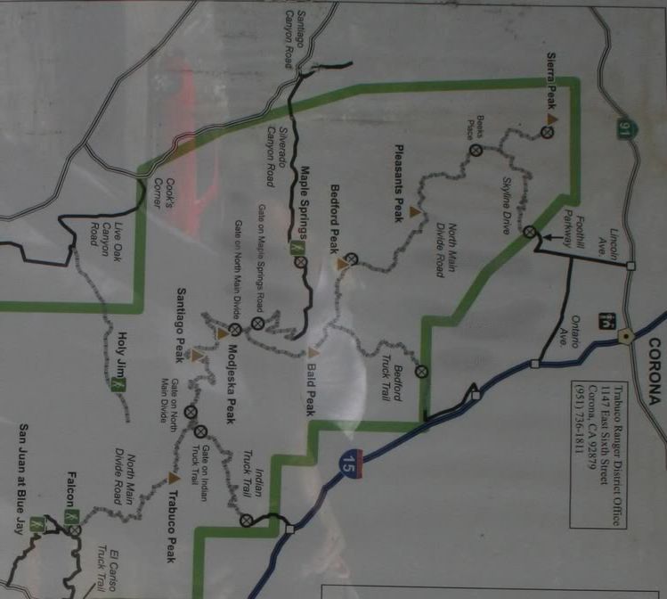
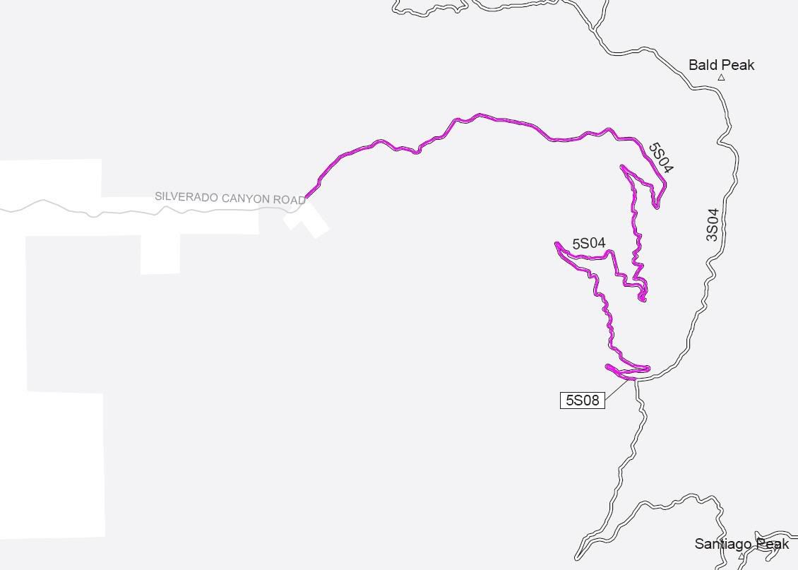
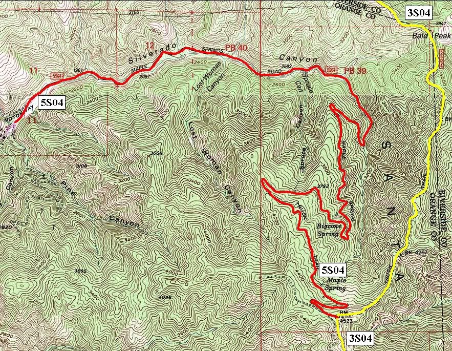


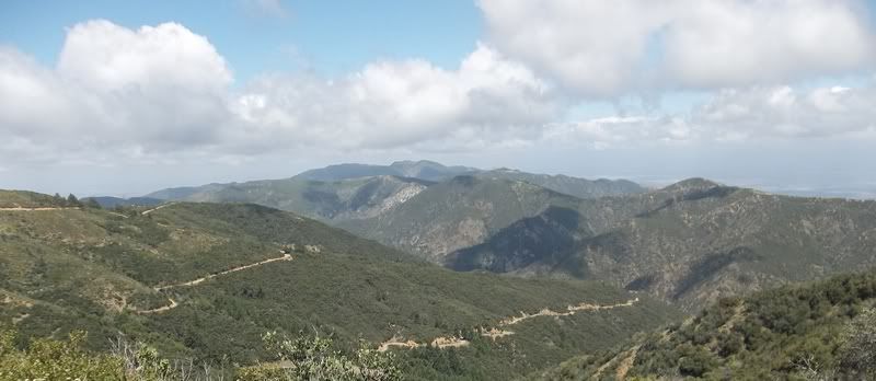
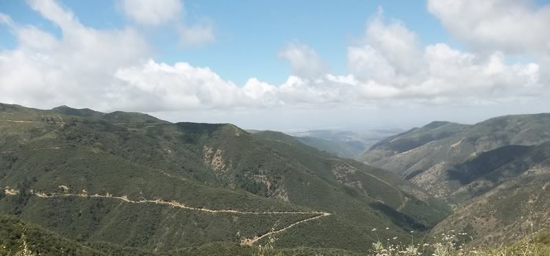
5S04 Maple Springs Truck Trail
Length: 7 miles
Trail Rating: Green Circle Easiest
Street legal vehicles ONLY
Elevation: 1850’ to 4500’
West Entrance on Silverado Canyon Road at N33° 44.843 W117° 35.023
East Entrance on 3S04 at N33° 43.730 W117° 32.815
Lat/Lon format is hddd° mm.mmm
WGS84 datum
It is always a good idea to call the ranger station before heading in to the forest and get a current conditions report. Cleveland National Forest Trabuco District Ranger Station (951) 736-1811
Cleveland National Forest Current Road Conditions

Comment