 Tweet
Tweet
San Juan Public Lands Map
http://www.narrowgauge.org/4x4/html/arastra.html
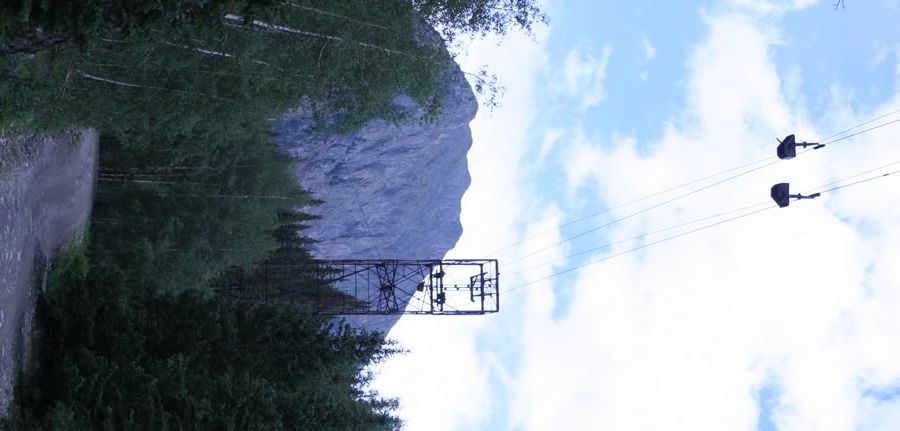
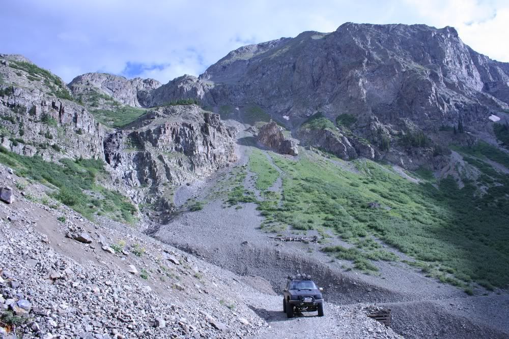
4x4 Adventures in the San Juan Mountains website contains a trail report and pictures.
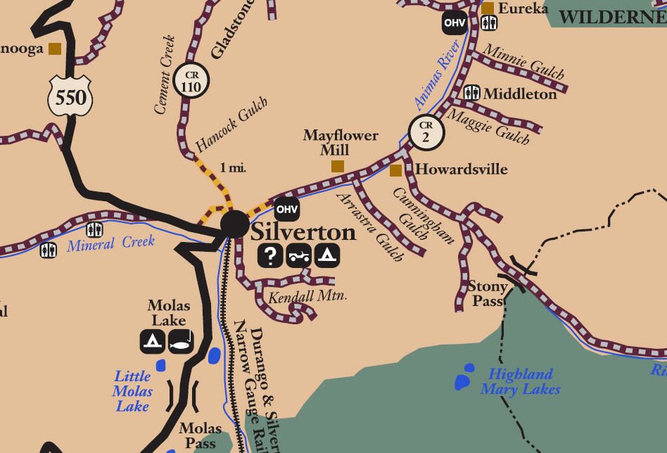
San Juan County Road 21
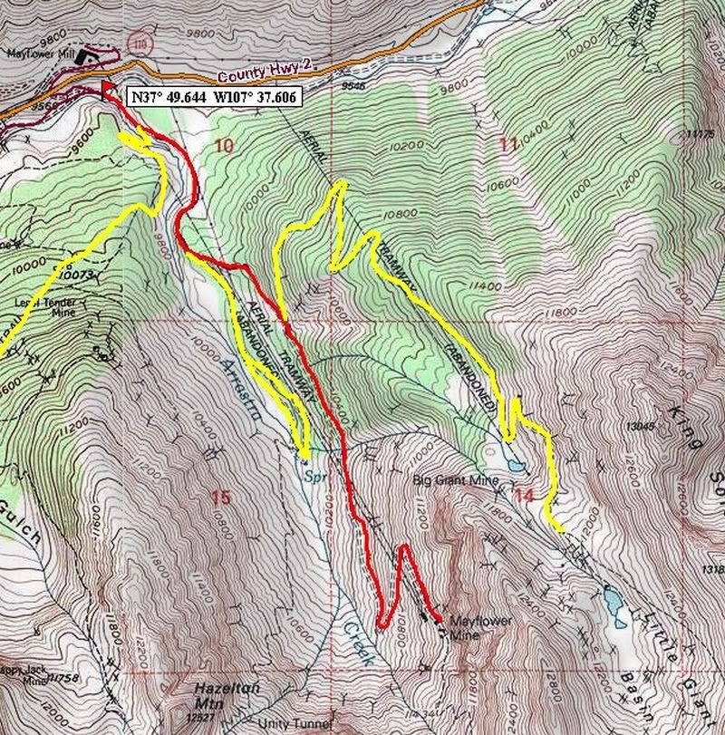
Arrastra Gulch
Length: 2.5 miles
Elevation: 9450' to 11,300'
Trail rating: Blue Square Moderate - Street legal vehicles and unlicensed off-highway vehicles allowed.
Special Note Operators of unlicensed vehicles must have a valid drivers license and carry proof of liability insurance.
North Entrance on CR2 at N37� 49.639 W107� 37.771
North Entrance (South of the Animas River) on CR2 at N37� 49.644 W107� 37.606
Middle entrance at Kendall Mountain at N37� 49.561 W107� 37.488
Middle exit at CR52 N37� 49.253 W107� 37.332
Middle exit at Little Giant Basin N37� 49.087 W107� 37.038
Lat/Lon format is hddd� mm.mmm WGS84 datum
It is always a good idea to call ahead and get a current conditions report. San Juan Public Lands Office (970) 247-4874
Arrastra Gulch.gpx


Comment