SBNF Motor Vehicle Use Map (MVUM)
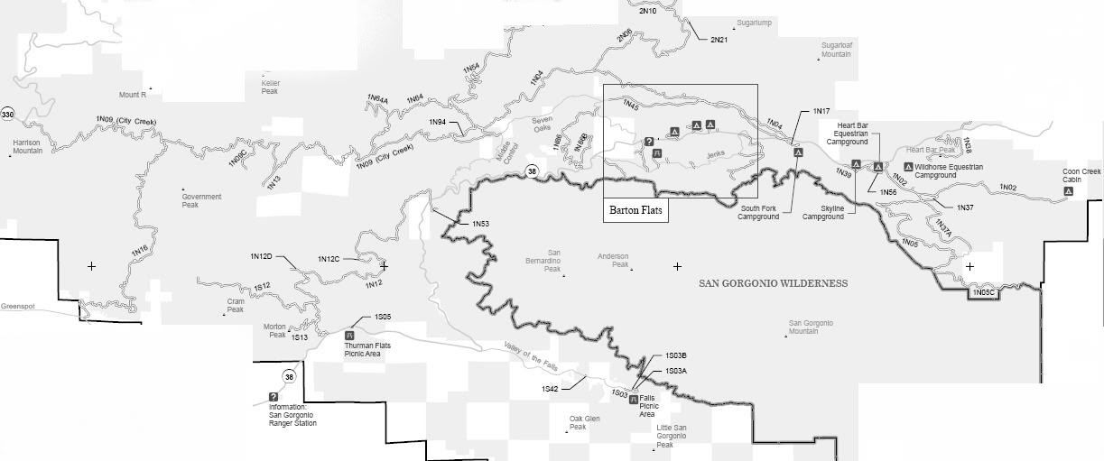
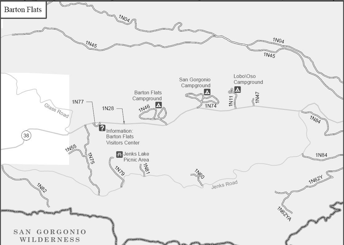
Mill Creek/San Gorgonio Area of the San Bernardino National Forest
Borders:
Highway 300 to the West
2N10 Skyline to the North
Coon Creek Cabin to the East
Interstate 10 to the South
1N02 Coon Creek
1N04 Front Line
1N04A
1N05 Fish Creek
1N05C Cabezon Rim
1N09 City Creek
1N09C
1N11 Lobo/Oso
1N12 Thomas Hunting Grounds
1N12C
1N12D Crystal Creek Heliport
1N13 Manzanita Flat
1N16 Alder Creek
1N17 South Fork
1N28 Council Group
1N37 Heart Bar Creek
1N37A Bean Flat
1N38 Heart Bar Peak
1N39 Skyline Campground
1N45 Seven Oaks
1N46 Barton Flats
1N47 Gray’s Amphitheatre
1N53 Angeles Oaks
1N54 Clark’s Grade
1N55 Tahquitz
1N56 Heart Bar Campground
1N60 Tulake
1N62Y Osceola
1N62YA
1N64 Clark’s Ranch
1N64A Slide Lake
1N74 San Gorgonio
1N77 Visitor’s Center
1N75 La Verne
1N79 Jenks Lake
1N81 Jenks Lake
1N82 Round Meadow
1N84 East Flats
1N86 Stetson Creek
1N86B
1N94 Filaree Flat
1S03 Falls Picnic
1S03A
1S03B
1S05 Thurman Flats
1S12 Warm Springs
1S13 Morton Peak
1S42 Valley of the Falls
2N06 Radford
2N21 Gold Mine
Heart Bar Yellow Post Sites
Clark's Ranch Yellow Post Site
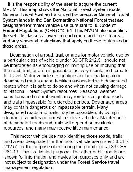
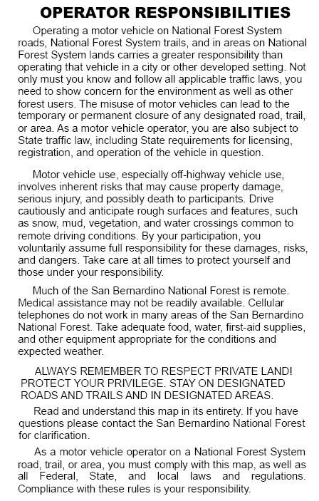
SBNF Motor Vehicle Use Map (MVUM)
SBNF Google Earth file
It is always a good idea to call the ranger station before heading in to the forest and get a current conditions report. Mill Creek Ranger Station (909) 382-2882
