SBNF Motor Vehicle Use Map (MVUM)
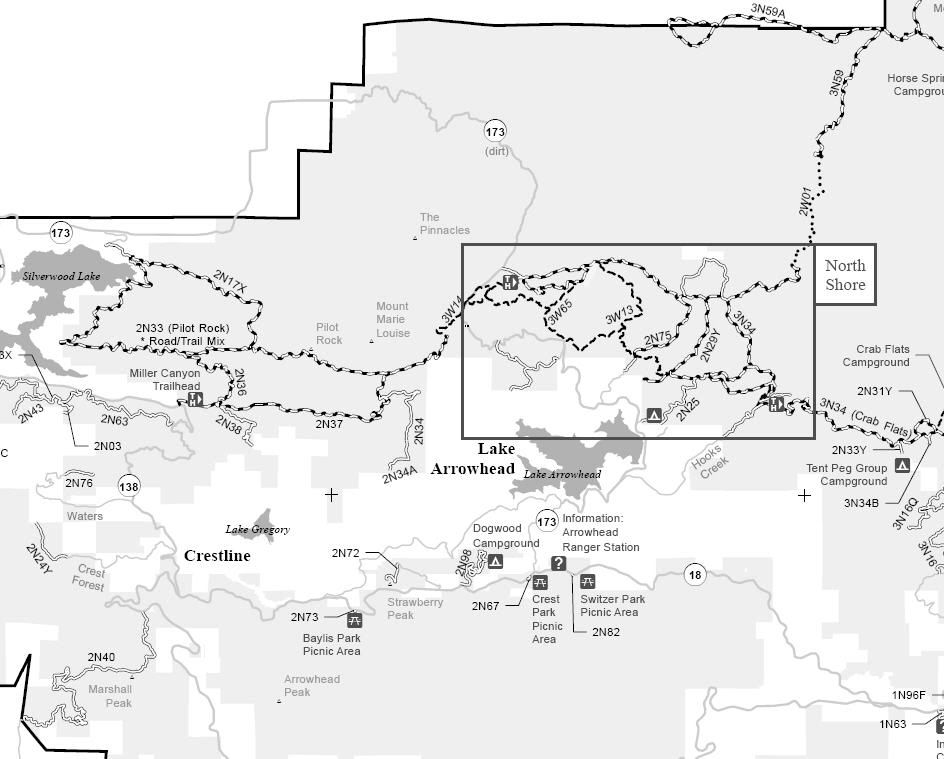
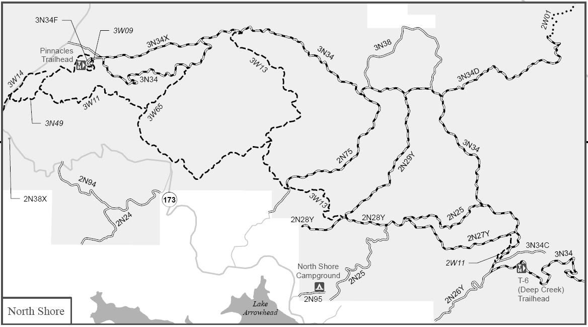
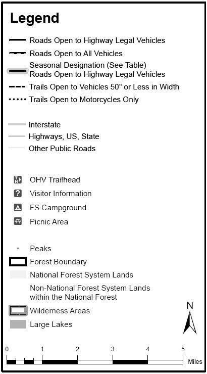
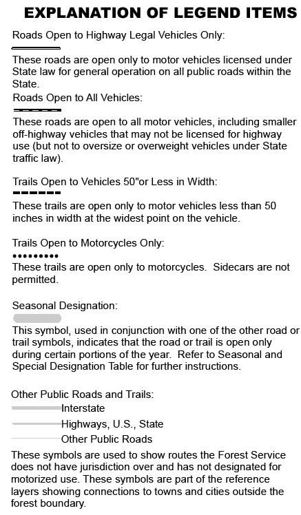
Lake Arrowhead Area of the San Bernardino National Forest
Borders:
Silverwood Lake to the West
Hesperia/Lucerne Valley to the North
Crab Flats to the East
San Bernardino/Highland to the South
1N20 Del Rosa
2N03 Seeley Creek
2N13X
2N17X Pilot Firebreak
2N24 St. Bernard
2N24Y Playground
2N25 Rouse Ranch Road
2N26Y Hook Creek
2N27Y Skyline
2N28Y Banff
2N29Y Plantation
2N31Y
2N33 Pilot Rock
2N33Y Tent Peg
2N34 Tunnel II
2N34A Tunnel II Spur
2N36 Pilot Rock Ridge
2N37 Miller Canyon
2N38 Valley of the Moon
2N38X
2N40 Cloudland
2N43 Sawpit Canyon
2N63
2N67 Crest Park
2N72 Strawberry Peak
2N73 Baylis Park
2N75 Ash Meadows
2N76
2N82 Switzer Park
2N94 Deer Lodge
2N95 Northshore Campground
2N96
2N98 Dogwood Campground
2W01 Devil’s Hole
2W11
3N34
3N34 Willow Creek
3N34 Dishpan
3N34B Crab Flats
3N34C Splinter’s Cabin
3N34D Devil’s Hole
3N34F Pinnacles
3N34X Willow Creek Jeep Trail
3N38 Squint’s Ranch
3N59 Carbine Flat
3N59A Luna Mountain
3W06
3W09 Pinnacles Practice Loop
3W11 Metate Trail
3W13 Sewer Pond Trail
3W14
3W49 Rock Camp Fuelbreak
3W65 North Shore NRT Motorized
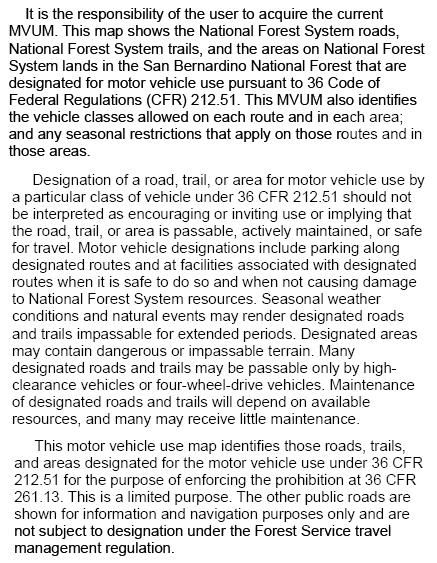
SBNF Motor Vehicle Use Map (MVUM)
SBNF Google Earth file
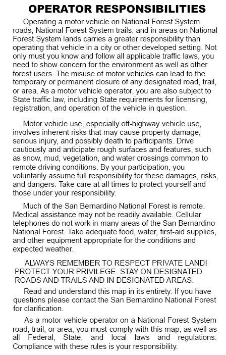
It is always a good idea to call the ranger station before heading in to the forest and get a current conditions report. Arrowhead Ranger Station (909) 382-2782

Comment