http://www.fs.usda.gov/Internet/FSE_...rdb5202570.pdf


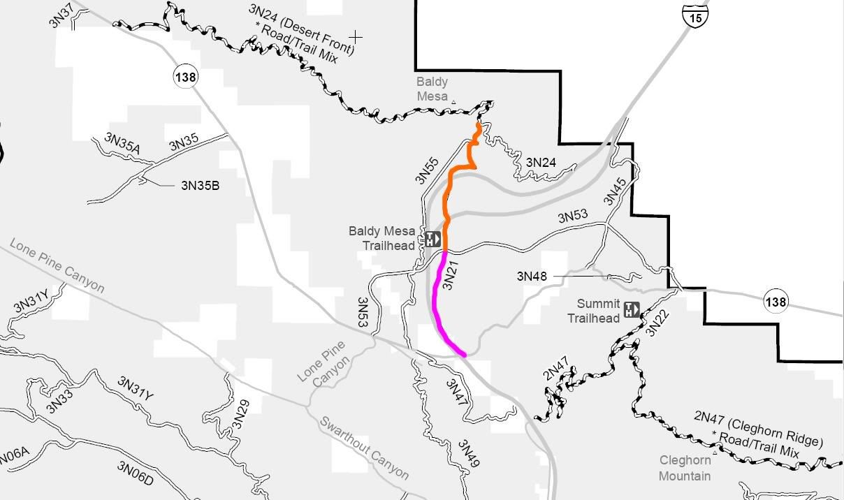
3N21
Length: 4 miles
Trail Rating: Green Circle Easiest
Street legal vehicles and green sticker vehicles allowed
Elevation: 3200’ to 4350’
North entrance on 3N24 at
N34° 21.502 W117° 28.211
Green sticker vehicle South entrance at Trestles Staging Area
N34° 19.907 W117° 28.706
Street legal vehicle South entrance on Hwy 138 at
N34° 18.720 W117° 28.410
Lat/Lon format is hddd° mm.mmm WGS84 datum
It is always a good idea to call the ranger station before heading in to the forest and get a current conditions report. Lytle Creek Ranger Station (909) 382-2851