Announcement

Collapse
No announcement yet.

Wheeler Ridge

Collapse

Forum Thread First Post

Collapse
X
 
  • Filter
  • Time
  • Show
Clear All
new posts

  • Wheeler Ridge

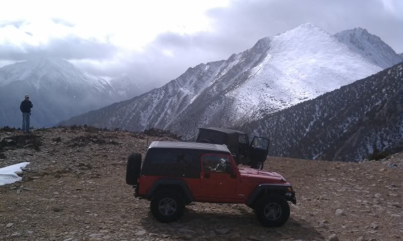
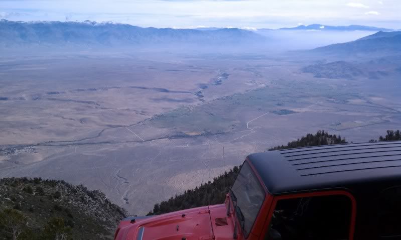
    Wheeler Ridge is a steep road that leads to a 11,000 foot ridge just west of Bishop and Tom's Place, CA. Beyond the viewpoint is a very narrow shelf road that we did not track. If someone has the full trail tracked, please let me know.

    Some pics from the trail:


    Attached Files
    [COLOR=#ff8c00]MYJEEP(crawls)ROCKS(again).com

    I have finally stopped drinking for good.
    Now I drink for evil..... :devil:
    [/COLOR]

  • #2
    Is that the same as Sand Canyon?

    Is that last picture looking down into upper Rock Creek drainage?

    Comment


    • #3
      Originally posted by karstic View Post
      Is that the same as Sand Canyon?

      Is that last picture looking down into upper Rock Creek drainage?
      Sand Canyon is the trail that leads to Wheeler Ridge. The GPX has a waypoint where the Wheeler Ridge trail starts.

      And Yes, the last pic is looking down from Wheeler Ridge into the upper Rock Creek area.
      [COLOR=#ff8c00]MYJEEP(crawls)ROCKS(again).com

      I have finally stopped drinking for good.
      Now I drink for evil..... :devil:
      [/COLOR]

      Comment


      • #4
        Mike - thanks for posting the track. I'm headed to Bishop in mid Oct for a 3 day weekend and plan to run this trail one of the days(or at least go as far as the snow allows).
        Cliff

        Comment


        • #5
          I ran this trail Saturday (I used the .gpx tracks - thanks!). Other than one good sized, steep snow patch, we had no problems getting to the top. Had a great time. Here are a couple pics, showing what the top of the trail looks like in mid Oct.
          Cliff

          End of Wheeler Ridge trail, approx 11.200’ elevation, very light snow coming down


          View – a couple miles from the trail end, looking north. This is upper Owens Valley, just below Lake Crowley


          View – same place, looking south, toward Bishop. That is the Owens River snaking through the valley, The wide spot in the river is Pleasant Valley Reservoir (where we camped)

          Comment


          • #6
            Man I love that area. Nice pictures.
            -Justin

            Comment


            • #7
              sweet photos

              Comment


              • #8
                How was it going along the tilted area where the photo's were taken. It looks tippy from the previous pictures.

                Comment

                Working...
                X