 Tweet
Tweet
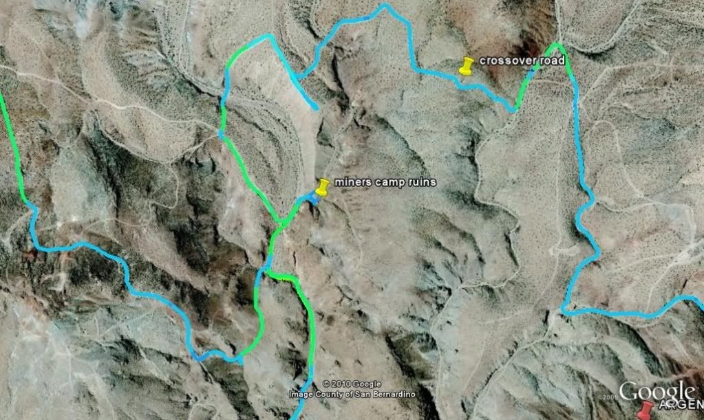
Since this forum has some of the greatest exploration off road trips on the planet I thought I'd share what a few people including myself are using to take the hard work out of trip and route planing. I dont think this has been covered here before, but forgive me if this is a repete. I've been using this for a long time now and I feel that it is a huge improvement over existing offroad GPS systems and cheaper by a long shot. Feel free to ask any questions and I will try to answer them. Also if you want a particular trail in Google Earth format...chances are I have it and I would more then happy to share it with you. P.S topomap overlays are avalible for Google Earth for all you map gurus, but once you go SAT image, you'll never go back 
1.find a suitable laptop.
- must be able to run Google Earth with reasonable ease.
- long battery run time or use a inverter to power the lappy in the car
- alternately you can find a power supply that runs off 12 dc
2.buy a GPS reciver for your laptop
- find one with “SiRF Star III GPS chipset” or better
http://www.amazon.com/BU-353-GlobalS...0438689&sr=8-2
- install drivers for GPS receiver
3.download and install the free version of Google Earth
http://earth.google.com/
4.download and install Goops
- buying program will allow you to log longer tracks without the occasional purging you will otherwise need to do
http://goopstechnologies.com/
- become familiar with the Goops options page and the main “zoom/rotate/tilt” buttons
5.cache all the required Sat images for your trip.
- ensure Google Earth cache size is set to 2000MB http://www.gearthblog.com/blog/archi...ne_google.html
- simply browse each area in Google Earth that you intent to visit with the desired level of zoom for the detail you will need.
- alternately make a Google Earth path for the area you intend to travel and use the play function to preview your path and auto download exactly what you need.
- figure in any optional areas and emergency escape routes
6.Disconnect from the internet and confirm you have all the images needed for your trip
- repeat step 5 until satisfied with step 6
7.test run your setup
- start windows and plug in GPS receiver
- start Goops program. Google Earth should automatically start and begin showing your location if there is no issues with your configuration
- drive around the block and confirm everything is working
- adjust Goops options to best serve your needs
- turning off options will generaly ease the strain on an older laptop
8.convert all your favorite GPS tracks to Google Earth tracks
http://www.gpsvisualizer.com/map_input?form=googleearth
9.never be lost or not find a trail again


Comment