This is another good run for a stock or near stock vehicle.. There is a very cool stream in this run and also some geocaches. This run may be closed during the winter or rainy season so check with Mount San Jacinto State Park before heading out.
Announcement
Collapse
No announcement yet.
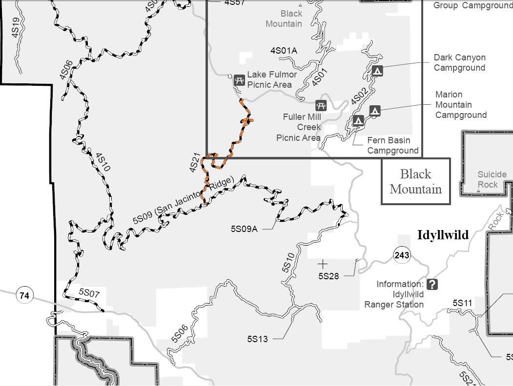
Bee Canyon 5S07 Map - Hemet to Idyllwild GPX GPS
Collapse
Forum Thread First Post
Collapse
X
-
This is a fun trail. I heard the "stream crossing" used to be more of an obstacle. It's paved now and super easy to cross. Did this in the snow a couple years ago. Nice scenic run, and great for a beginner!Originally posted by rexr View PostThis is another good run for a stock or near stock vehicle.. There is a very cool stream in this run and also some geocaches. This run may be closed during the winter or rainy season so check with Mount San Jacinto State Park before heading out.
Thanks for the GPX Rexr!If we aren't supposed to eat animals, then why are they made out of meat?
http://jeep.matandtiff.com/
Truth is treason in the empire of lies. -Ron Paul
-
Looks like you have gpx waypoints for parts of 4 trails.
5S07 Bee Canyon
5S09 San Jacinto Ridge Road
4S10 Indian Creek Rd
4S21 Indian Mountain

If you plan on going uphill on 4S21 you may need more than a stock vehicle. The rest of the routes a stock vehicle should do just fine.


4S21 Indian Mountain
Length: 3.75 miles. Time to complete: 1 hour.
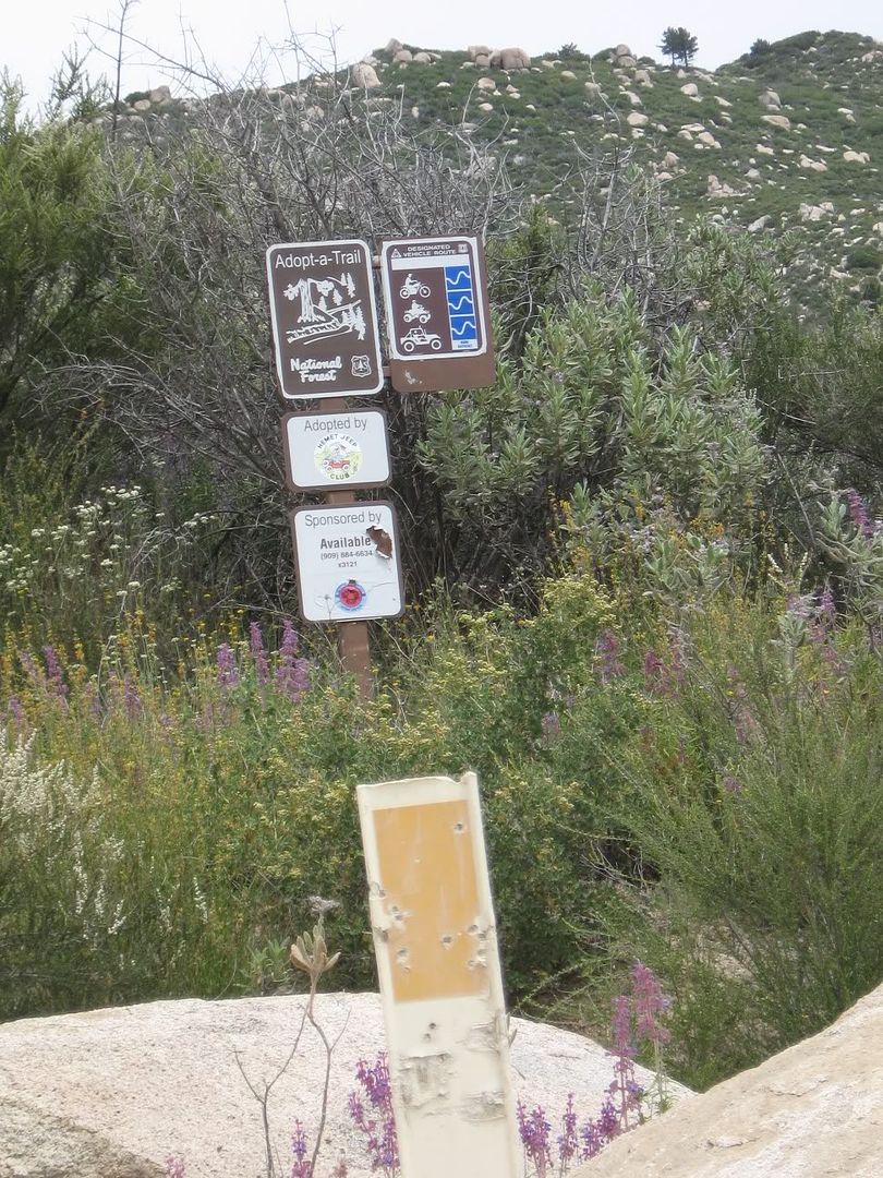
4S21 can be found in the San Bernardino National Forest in the San Jacinto area. 4S21 is available to all Off Highway Vehicles. 4S21 has been adopted by the Hemet Jeep Club.
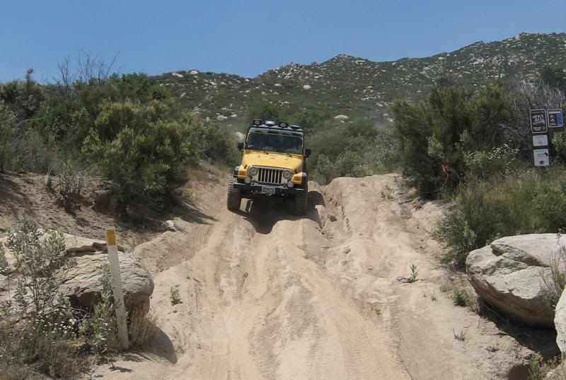
The US Forest Service rates this trail a blue square more difficult route. On 4S21 you can expect to encounter narrow shelf roads with tight switchbacks and old firebreaks running on ridges. You can expect to encounter deep ruts. Elevation ranges from 4700' to 5790'.
http://www.fs.fed.us/r5/sanbernardino/
San Jacinto Ranger Station: (909) 382-2921
San Bernardino National Forest Supervisor's Office: 909-382-2600
The entrance on Hwy 247 is N33° 47.832 W116° 46.665
The entrance on 5S09 is N33° 46.022 W116° 47.317
Lat/Lon format is hddd° mm.mmm and WGS84 datum
 Over 2500 hours donated to the San Bernardino National Forest. Life member of CA4WD, CORVA & BRC. Tread Lightly Trainer. Reforestation Supervisor. CASSP
Comment
-
Hey FishPOET.. Thank you for the clarification.. I've always just known it as Bee Canyon..
I meant to delete the 4S21 section of the route and forgot.. And you are correct.. You need more than a stock jeep to do that section.
BTW.. I have seen you over on Geocaching.com and you are a GeoCaching GOD!!!! 5000+ find.. Incredible..
Thanks again..
Rex"There are two primary choices in life, to accept conditions as they exist, or accept the responsibility for changing them."
Denis Waitley
Comment
-
Wow, I've gotta go check this out! I've only done the super easy sections. Maybe I can FINALLY get the dad-in-law to take his mall crawler off of those super easy trails! If we aren't supposed to eat animals, then why are they made out of meat?
http://jeep.matandtiff.com/
Truth is treason in the empire of lies. -Ron Paul
Comment
-
... just wanted to resurrect a thread
(came up on a google search when looking up NF-4S21)
Just did some trails and added 4S21 to our trek last Saturday.
... very fun, and doable in a capable vehicle.
I've ridden this on dual sported dirt bikes, for our "Cancer-RideForLife" event... one of them, we ran from San Diego to Las Vegas, and back (about 1000 miles in 5 days). However, wanted to get the wife out and show her our trails, while we get some geocaching in.
Trail tests the articulation, for sure!!
My Jeep...

Friend;

Father in Law;

One Jeep, forgot to disconnect his sway bar;

And, chose the wrong line on another corner;

Great views up there!!
 Last edited by JohnnyAirtime; 05-31-16, 08:19 PM.
Comment
Comment