 Tweet
Tweet
On Saturday, June 10, 2006, Supe (TJSupe), George Kropp (TDS SD) and I ran White Mountain.
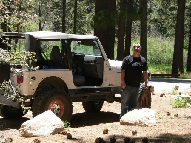
This is Supe and his white TJ:
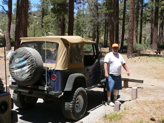
This is George with his Blue YJ:
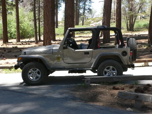
And this is my khaki TJ:
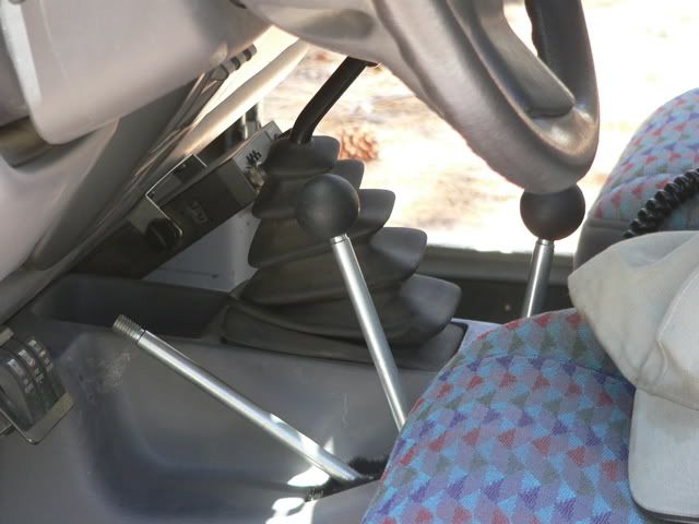
Supe recently installed a STaK 3 Speed 5.44 transfer case, so he has plenty of levers to play with:
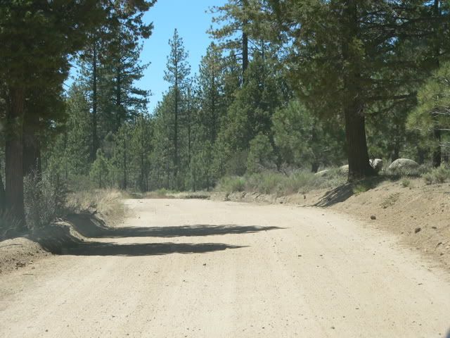
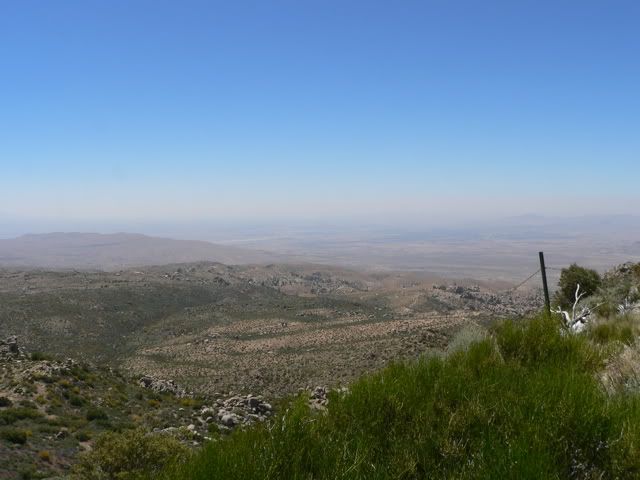
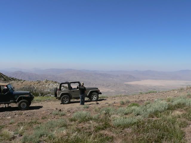
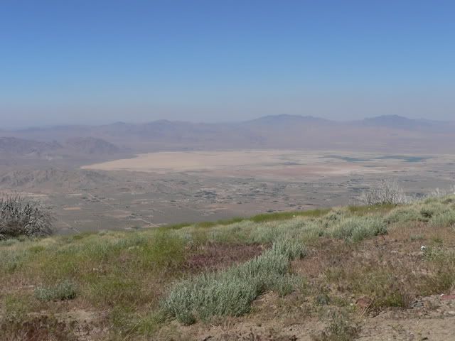
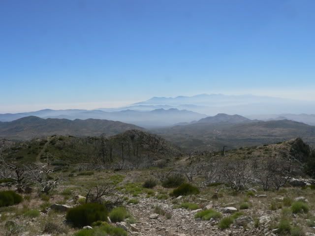
White Mountain is located approximately 10 miles northwest of Big Bear Lake. The North Peak rises to 7094 feet and the South Peak rises to 7736 feet. It is part of the ridgeline separating the Big Bear/Arrowhead area from the Lucerne Valley. The trail offers nice views of the area. From the starting point at Fawnskin, we took 3N14 and 4N16 to Coyote Flat. These trails are graded dirt roads and can easily be negotiated in 2 wheel drive:
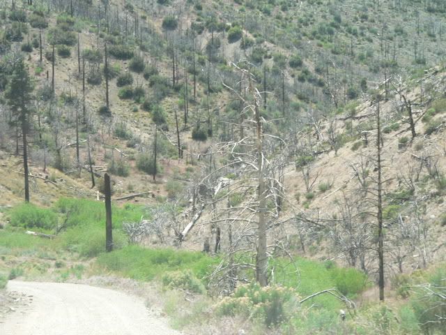
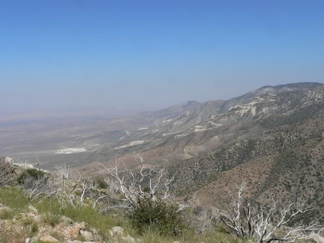
We passed through the burn area from the October 2003 Old fire:
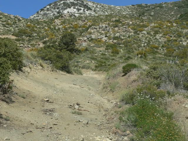
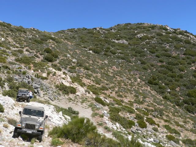
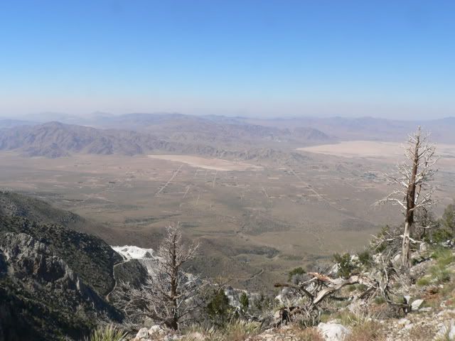
Our first destination was the North Peak of White Mountain. From Coyote Flat, we turned east on 3N17 and took a short spur to North Peak. Although rough, this trail can still be negotiated by a stock Jeep:
This is Supe and his white TJ:
This is George with his Blue YJ:
And this is my khaki TJ:
Supe recently installed a STaK 3 Speed 5.44 transfer case, so he has plenty of levers to play with:
White Mountain is located approximately 10 miles northwest of Big Bear Lake. The North Peak rises to 7094 feet and the South Peak rises to 7736 feet. It is part of the ridgeline separating the Big Bear/Arrowhead area from the Lucerne Valley. The trail offers nice views of the area. From the starting point at Fawnskin, we took 3N14 and 4N16 to Coyote Flat. These trails are graded dirt roads and can easily be negotiated in 2 wheel drive:
We passed through the burn area from the October 2003 Old fire:
Our first destination was the North Peak of White Mountain. From Coyote Flat, we turned east on 3N17 and took a short spur to North Peak. Although rough, this trail can still be negotiated by a stock Jeep:
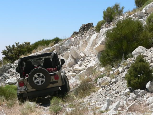

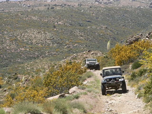
 ; but beyond this point, there is what appears to be the remains of a cattle fence, so to continue to the summit they would have to make a sharp right turn and head directly up the hill!!
 Got the rear end about 2.5-3 feet in the air. I have to find my map....love to go out and find it but no one can wheel on the days i have off (tues & wed one week and wed & thurs the next week). Thank god I go back to swingshift mon-fri in Aug! let me know if your able to wheel during the week.
Comment