Sheep’s Bridge is a footbridge that crosses the Verde River approximately 25 miles northeast of Cave Creek, AZ (about 50 miles northeast of Phoenix, AZ). Shepherds use the bridge to move their flocks between the high country and the desert.
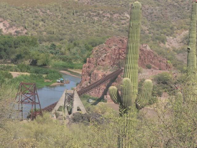
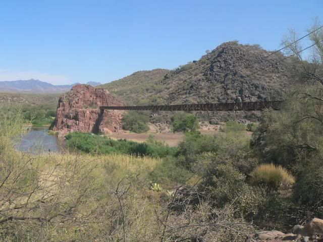
On July 4, 2007, I departed Cave Creek with a friend, Zack, who has a lifted Rubi. We headed north on FR-24 for approximately 20 miles, then east on FR-269 for about 10 miles to reach the Verde River. The roads are graded, dirt roads and can be driven in 2WD. There are no vehicular bridges across this section of the river; you have to ford the river. First, you need to check the Salt River Project Daily Water Report.
http://www.srpwater.com/dwr/report.asp?
Normal river flow at this point (Verde River at Tangle Creek) is 107 cubic feet per second. A Jeep can safely get across if the river flow is less than about 200 cubic feet per second. On July 4, the average flow was 57 cubic feet per second. I waded across the river to check for rocks, holes or dropoffs. The water at the ford was knee deep.
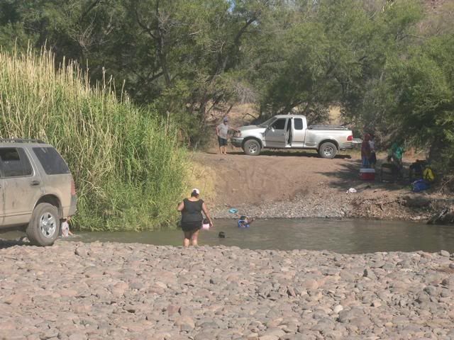
After crossing the river, we headed south along the east side of the river on FR-479 for about 10 miles and crossed back over to the west side of the river just below Horseshoe Reservoir. According to the Salt River Project, 100 cubic feet per second was being released from the reservoir.
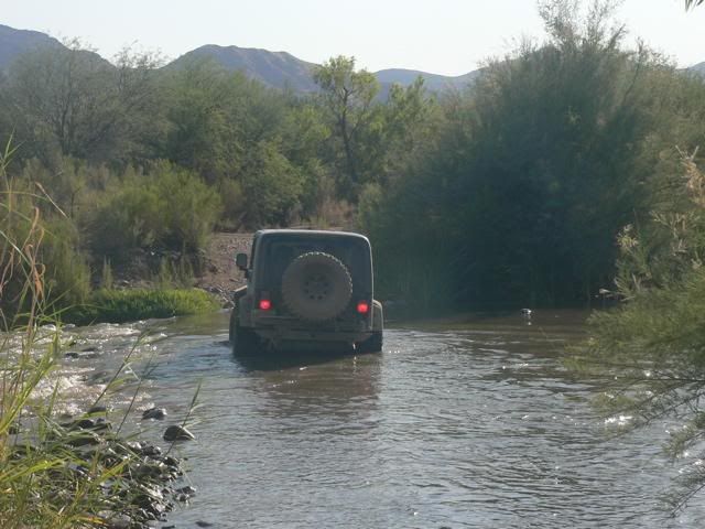
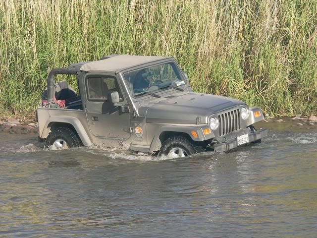
After crossing over to the west side of the river, we continued about six miles on FR-205 (Horseshoe Dam Road) until we reached pavement at FR-19 (Bartlett Dam Road). Then it was about 10 miles back to Cave Creek. The 50 mile loop took about four hours.


On July 4, 2007, I departed Cave Creek with a friend, Zack, who has a lifted Rubi. We headed north on FR-24 for approximately 20 miles, then east on FR-269 for about 10 miles to reach the Verde River. The roads are graded, dirt roads and can be driven in 2WD. There are no vehicular bridges across this section of the river; you have to ford the river. First, you need to check the Salt River Project Daily Water Report.
http://www.srpwater.com/dwr/report.asp?
Normal river flow at this point (Verde River at Tangle Creek) is 107 cubic feet per second. A Jeep can safely get across if the river flow is less than about 200 cubic feet per second. On July 4, the average flow was 57 cubic feet per second. I waded across the river to check for rocks, holes or dropoffs. The water at the ford was knee deep.

After crossing the river, we headed south along the east side of the river on FR-479 for about 10 miles and crossed back over to the west side of the river just below Horseshoe Reservoir. According to the Salt River Project, 100 cubic feet per second was being released from the reservoir.


After crossing over to the west side of the river, we continued about six miles on FR-205 (Horseshoe Dam Road) until we reached pavement at FR-19 (Bartlett Dam Road). Then it was about 10 miles back to Cave Creek. The 50 mile loop took about four hours.

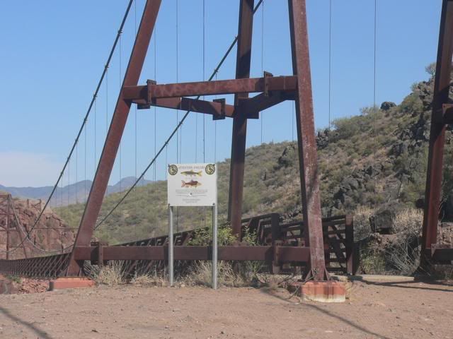
 If anyone else goes out there, please try to get the GPS coordinates of the river fording points. I understand that the reeds and brush can grow and hide the entry/exit points.
Comment