 Tweet
Tweet
San Juan Public Lands Map
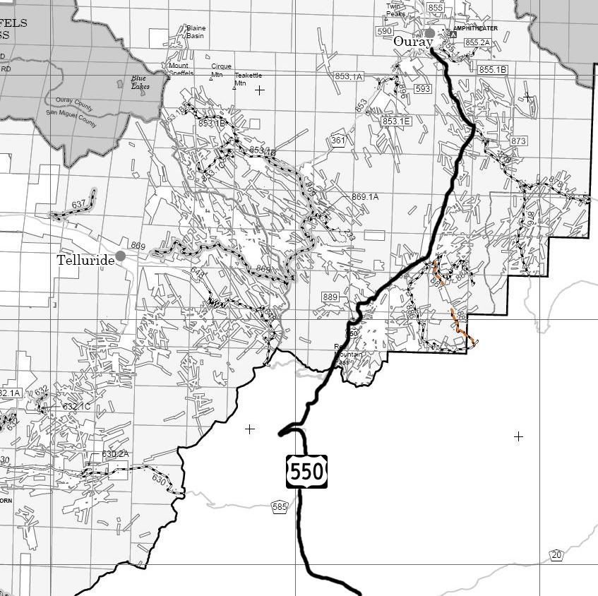
San Juan National Forest Columbine District MVUM
San Juan National Forest route 887
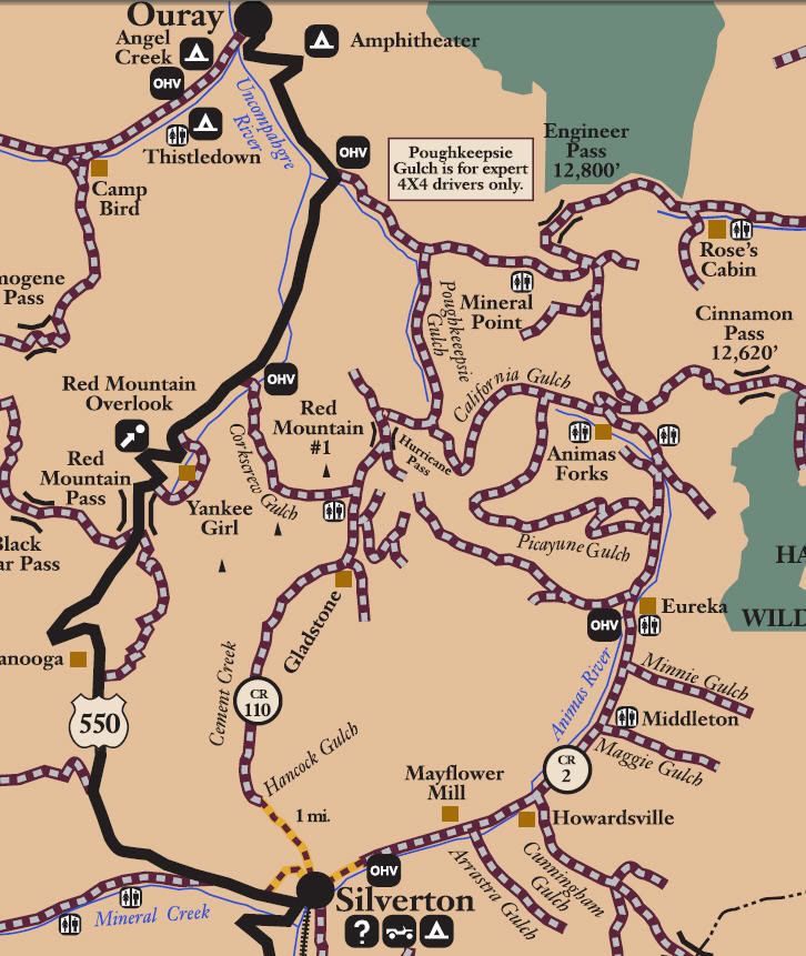
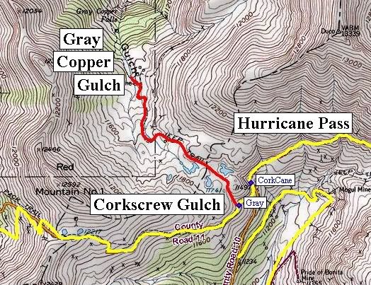
Gray Copper Gulch
Length: 1 mile
Elevation: 9700' to 11,666'
Trail rating: Blue Square More Difficult - Street legal vehicles and unlicensed off-highway vehicles allowed.
Special Note Operators of unlicensed vehicles must have a valid drivers license and carry proof of liability insurance.
Entrance on Brown Mountain at N37� 56.335 W107� 39.979 This is a short 1/2 mile spur.
Entrance on Corkscrew Gulch at N37� 54.518 W107� 38.794 This is a 1 mile spur.
Lat/Lon format is hddd� mm.mmm WGS84 datum
It is always a good idea to call ahead and get a current conditions report. San Juan Public Lands Office (970) 247-4874. San Juan National Forest Columbine Ranger District (970) 884-2512.