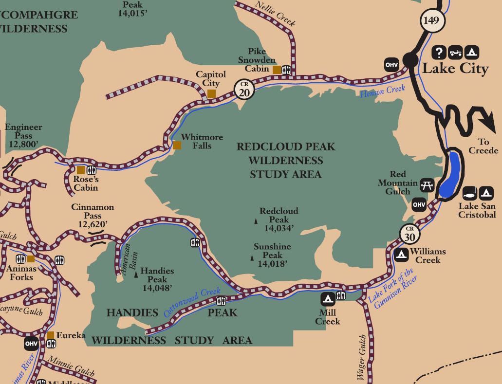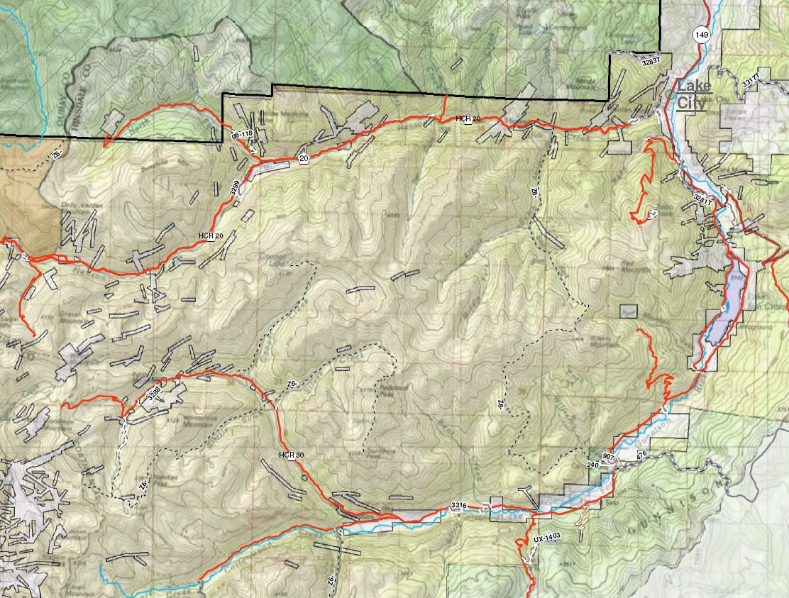
San Juan Public Lands Map
BLM Alpine Loop

BLM - Gunnison Field Office ROD Map

http://www.traildamage.com/trails/index.php?id=300
The traildamage site contains an extensive write up, photographs, videos, gpx files, kmz files, etc.
http://www.everytrail.com/guide/off-...erton-colorado
http://www.everytrail.com/guide/off-...gineer-pass-co
http://www.funtreks.com/colorado-bac...-pass-colorado
The funtreks site contains a write up including trail rating, photographs, eguide for mobile devices, waypoints, etc
http://www.narrowgauge.org/4x4/html/engineer.html
4x4 Adventures in the San Juan Mountains website contains pictures.
San Juan County Road 2
Hinsdale County Road 20
Gunnison Field Office BLM Route 3299
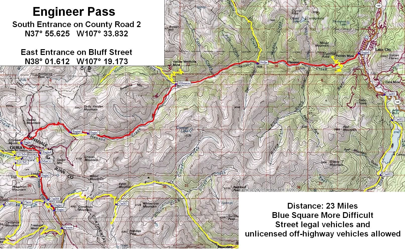
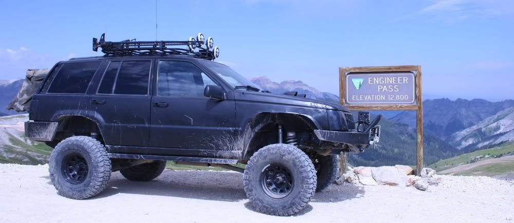
Engineer Pass
Length: 23 miles
Elevation: 8686' to 12,800'
Trail rating: Blue Square More Difficult - Street legal vehicles and unlicensed off-highway vehicles allowed.
Special Note Operators of unlicensed vehicles must have a valid drivers license and carry proof of liability insurance.
East Entrance on CR2 at N37° 55.625 W107° 33.832
East Entrance on CR2 at N37° 55.799 W107° 33.948
Cinnamon Pass Entrance at N37° 56.031 W107° 34.115
Mineral Point Exit at N37° 56.928 W107° 34.564
Mineral Creek Entrance at N37° 57.466 W107° 34.528
Oh Point Exit at N37° 58.189 W107° 35.408
Loop at N37° 58.600 W107° 33.058
Loop at N37° 58.557 W107° 32.313
Whitmore Waterfall Viewpoint at N37° 59.200 W107° 29.052
North Henson Road Exit at N38° 00.435 W107° 27.988
Nellie Creek Exit at N38° 01.229 W107° 24.031
West Entrance on Bluff Street at N38° 01.612 W107° 19.173
Lat/Lon format is hddd° mm.mmm WGS84 datum
It is always a good idea to call ahead and get a current conditions report. San Juan Public Lands Office (970) 247-4874. Gunnison Field Office BLM (970) 642-4940.


Comment