 Tweet
Tweet
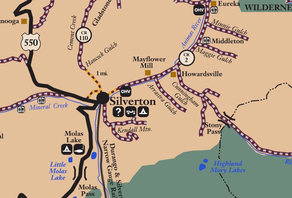
San Juan Public Lands Map
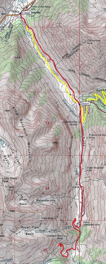
San Juan County Road 4
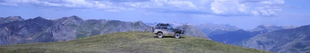
Cunningham Gulch
Length: 5 miles
Elevation: 9650' to 11,380'
Trail rating: Blue Square Moderate - Street legal vehicles and unlicensed off-highway vehicles allowed.
Special Note Operators of unlicensed vehicles must have a valid drivers license and carry proof of liability insurance.
North Entrance on CR2 at N37� 50.138 W107� 35.700
Middle entrance on Stony Pass at N37� 48.909 W107� 34.692
Lat/Lon format is hddd� mm.mmm WGS84 datum
It is always a good idea to call ahead and get a current conditions report. San Juan Public Lands Office (970) 247-4874
Comment