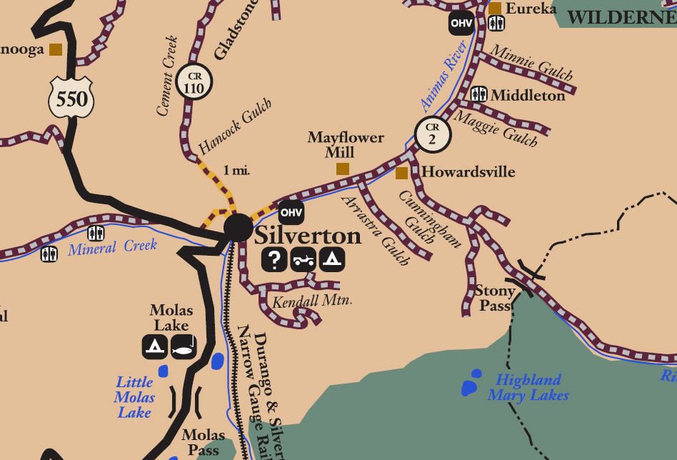
San Juan Public Lands Map

http://www.funtreks.com/area-pages/c...city-telluride
The funtreks site contains a write up including trail rating, photographs, eguide for mobile devices, waypoints, etc
http://dcasler.com/2010/06/26/kendal...rton-colorado/
The My Southwestern Colorado site contains a write up, maps, directions, photographs, waypoints, etc.
http://nm4w.org/WEBEJEEPIN/Trails/Co...endall_Mtn.htm
The We Be Jeepin site contains a write up, maps, directions, photographs, waypoints, etc.
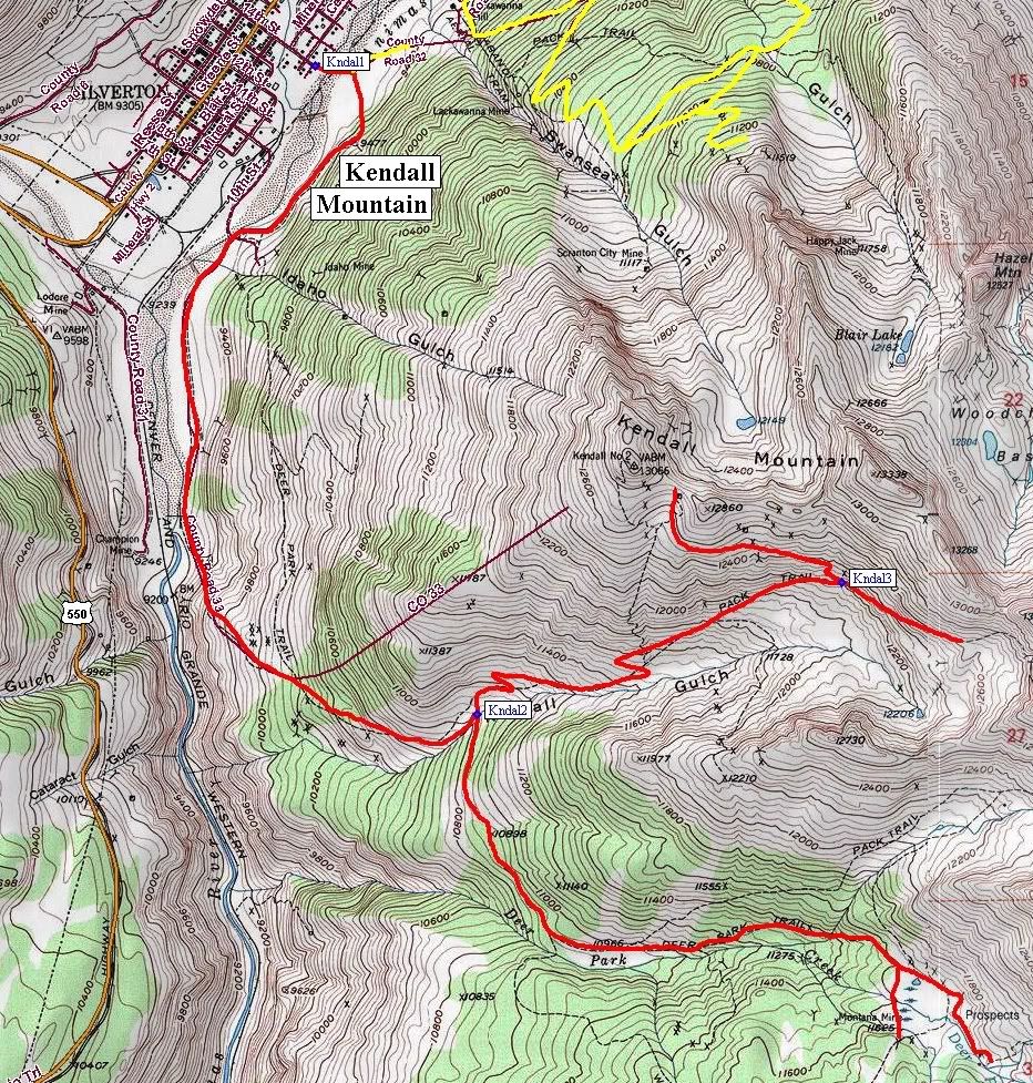
San Juan County Road 33
Kendall Mountain
Length: 5 miles
Elevation: 9300' to 12,800'
Trail rating: Blue Square Moderate - Street legal vehicles and unlicensed off-highway vehicles allowed.
Special Note Operators of unlicensed vehicles must have a valid drivers license and carry proof of liability insurance.
Entrance on 14th St at N37° 48.688 W107° 39.582
Deer Park Exit at N37° 46.974 W107° 39.041
Lat/Lon format is hddd° mm.mmm WGS84 datum
It is always a good idea to call ahead and get a current conditions report. San Juan Public Lands Office (970) 247-4874