 Tweet
Tweet
San Juan Public Lands Map
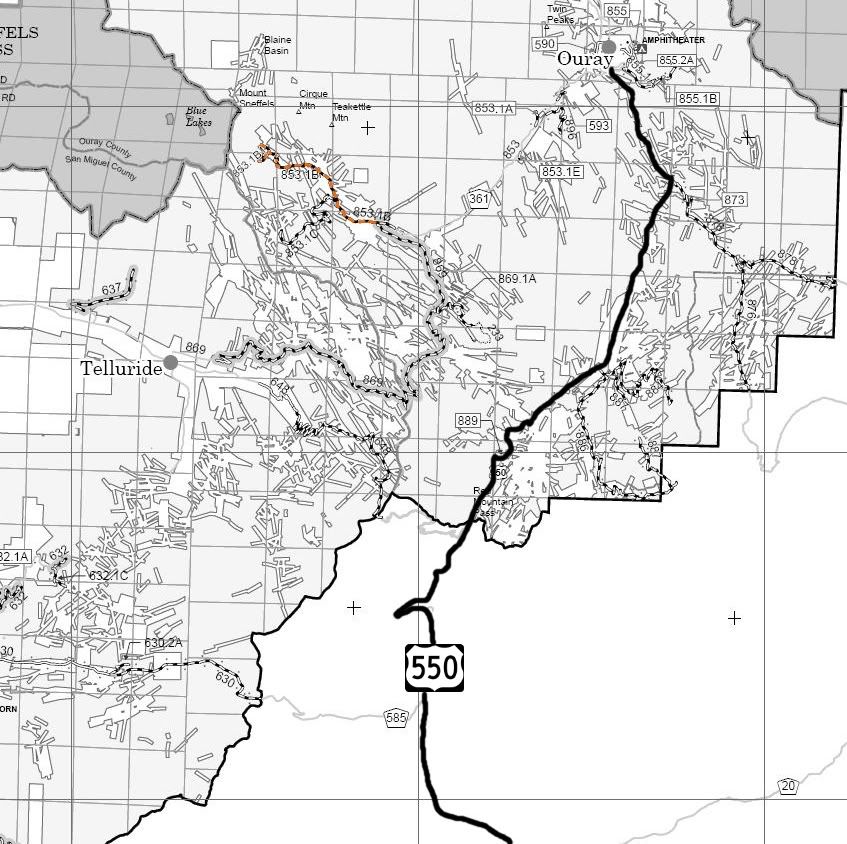
http://www.fs.usda.gov/Internet/FSE_DOCUMENTS/stelprdb5318442.pdf]Uncompahgre National Forest Mountain Division MVUM[/url]
http://www.traildamage.com/trails/index.php?id=81
The traildamage site contains an extensive write up, maps, photographs, videos, gpx files, kmz files, etc.
http://dcasler.com/2011/06/18/yankee...uray-colorado/
The My Southwestern Colorado site contains a write up, maps, directions, photographs, waypoints, etc.
http://www.narrowgauge.org/4x4/html/yankee.html
The 4x4 Adventures in the San Juan Mountains website contains maps, a trail report and pictures.
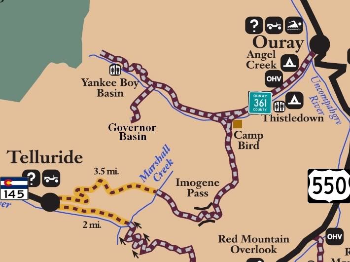
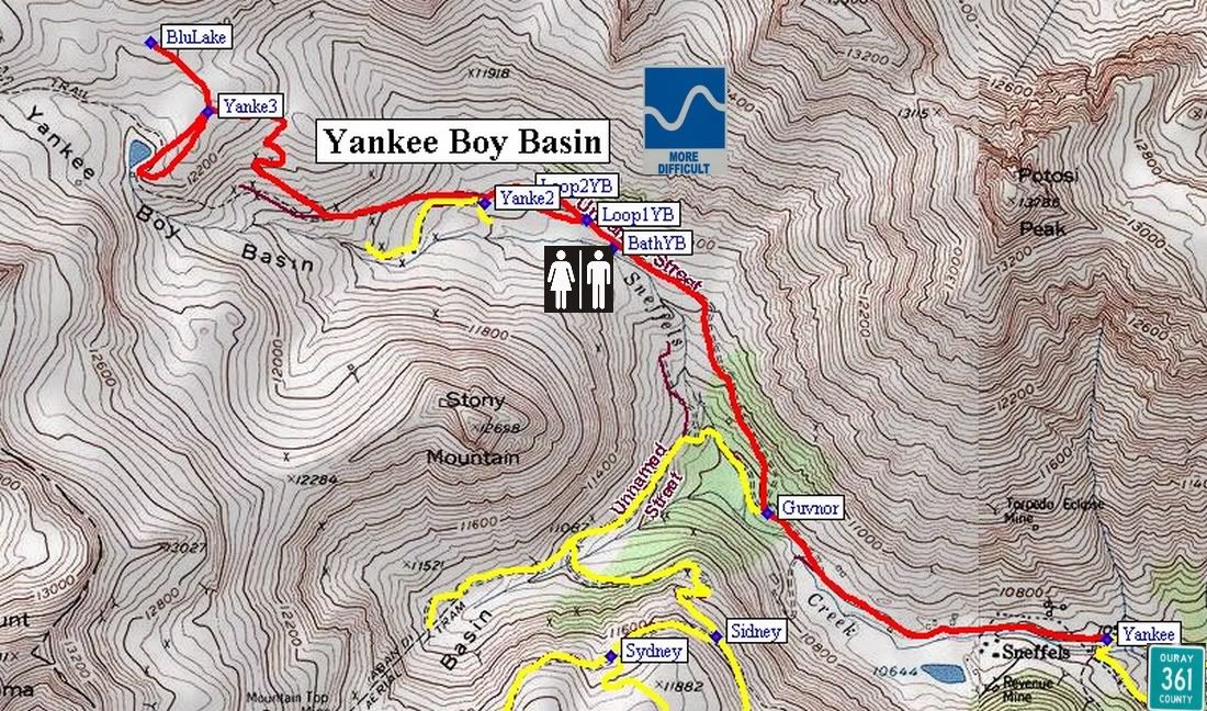
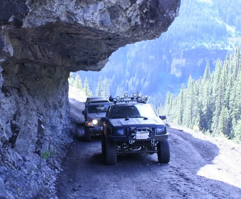
Uncompahgre National Forest Road 853.1B
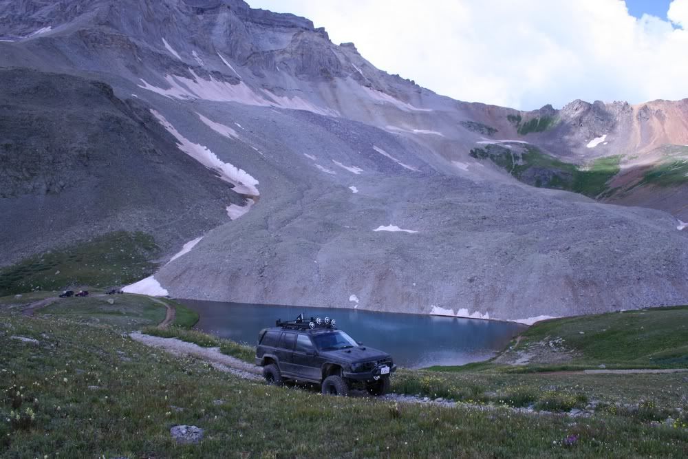
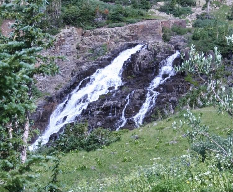
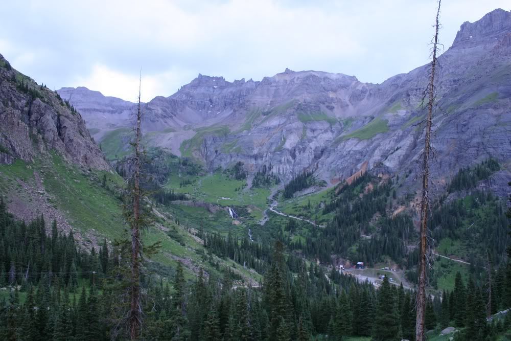
Yankee Boy Basin
Length: 3 miles
Elevation: 10,575' to 12,222'
Trail rating: Blue Square Moderate - Street legal vehicles and unlicensed off-highway vehicles allowed
Special Notes Operators of unlicensed vehicles must have a valid drivers license and carry proof of liability insurance.
Entrance on Hwy 361 at N37� 58.523 W107� 44.720
Governor Basin exit at N37� 58.771 W107� 45.559
Lat/Lon format is hddd� mm.mmm WGS84 datum
It is always a good idea to call ahead and get a current conditions report. San Juan Public Lands Office (970) 247-4874. Uncompahgre National Forest Ouray Ranger District (970)240-5300
Comment