 Tweet
Tweet
San Juan Public Lands Map
San Juan National Forest Columbine District MVUM
http://www.traildamage.com/trails/index.php?id=261
The traildamage site contains an extensive write up, photographs, videos, gpx files, kmz files, etc.
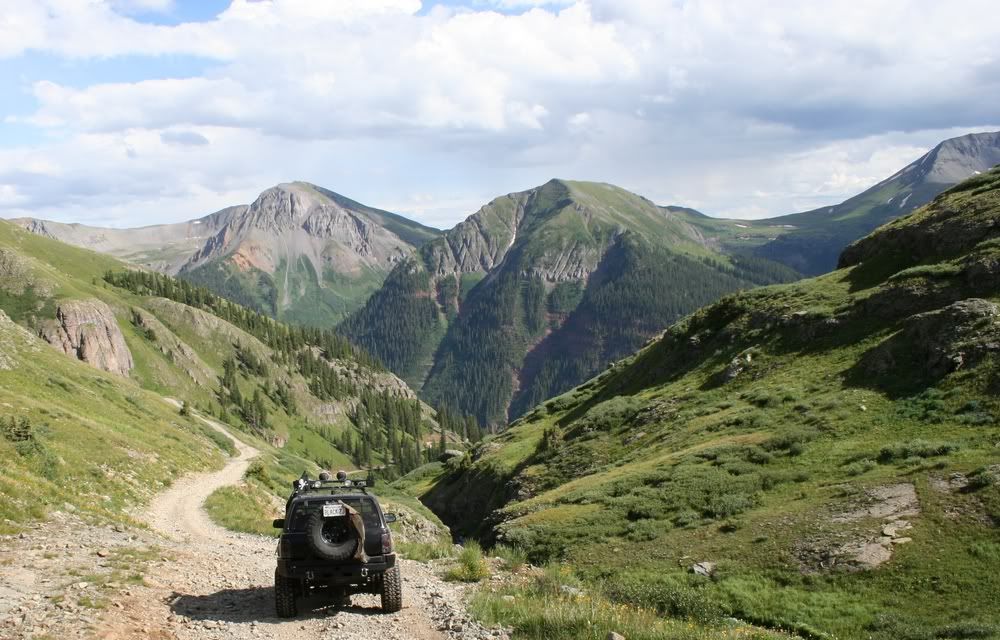
San Juan National Forest Road 815
San Juan County Road 12
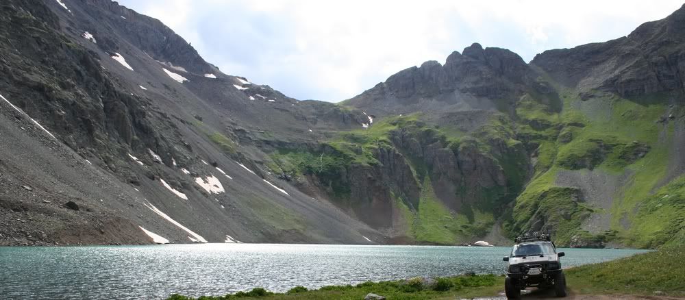
Clear Lake
Length: 3.5 miles
Elevation: 9800' to 11,960'
Trail rating: Green Circle Easiest - Street legal vehicles and unlicensed off-highway vehicles allowed
Special Note Operators of unlicensed vehicles must have a valid drivers license and carry proof of liability insurance.
Entrance on South Mineral Creek at N37� 48.324 W107� 45.774
Lat/Lon format is hddd� mm.mmm WGS84 datum
It is always a good idea to call ahead and get a current conditions report. San Juan Public Lands Office (970) 247-4874. San Juan National Forest Columbine Ranger District (970) 884-2512.
clear lake.gpx

Comment